Parking lot
Parking grounds
Forest Rd 91A, Elkins, WV 26241

Background: generated illustration, not a photograph of this location.
Plan Bemis, High Falls and Shavers Fork with separate train, hiking and campground options, five visitor FAQs and four historical photos. River-entry access remains unverified.
Location
A closer look
Photos show past visits, not current water levels or swimming conditions. Select a photo to view it larger.
This is a desk-researched listing. A record update or map check does not confirm current swimming permission or water conditions.
Found an error? Send a correction with the location and a source. How we research listings.
This area listing is not a single swimming beach. A campground stay, a High Falls mountain hike and a scenic train excursion have different arrival points and services. No authorized walking entry to Mule Hole is verified here, and the former track-walking route remains withdrawn.
The New Tygart Flyer operator, reviewed October 9, 2026, lists boarding at 315 Railroad Avenue, Elkins, and directs visitors to its date-specific calendar because departures are not daily. The historic train is not wheelchair accessible and has boarding steps. Pets are not allowed; disability-required service animals are allowed. Restrooms are onboard. Check your booking instructions, fare and availability. Do not assume a Bemis flag stop or swimming layover.
County tourism describes challenging backcountry hiking and a Forest Road 44 trailhead south of Glady, not a short walk from Bemis. Confirm the current authorized route with Monongahela National Forest; do not walk active tracks. Bemis Campground is a separate accommodation at 6599 Bemis Road offering campsites and cabins. Ask about reservations and guest river access; these do not grant rights on neighboring land.
The USGS Bemis station is a river-data reference, not a swimming clearance or an entrance location. Check timestamps and the measured parameter; historical records are not today's conditions. Verify lawful access and current river conditions before considering water entry. Do not jump or dive.
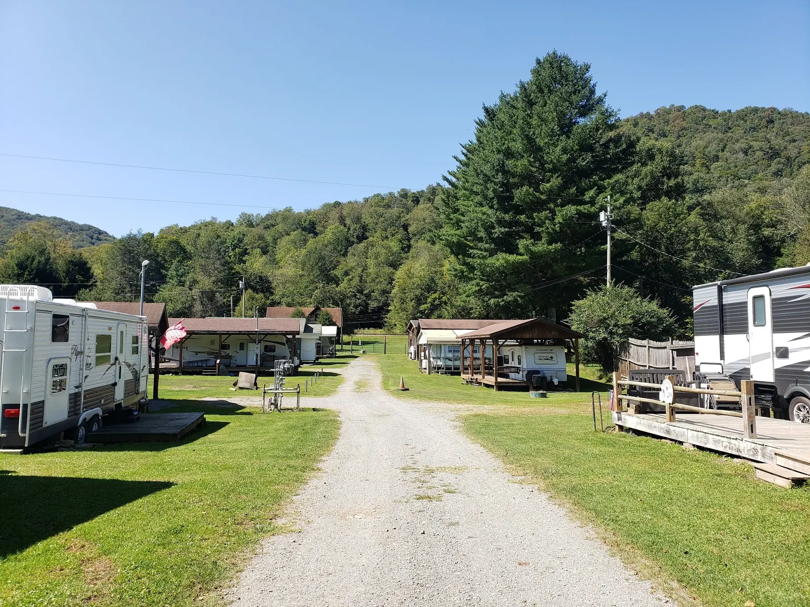
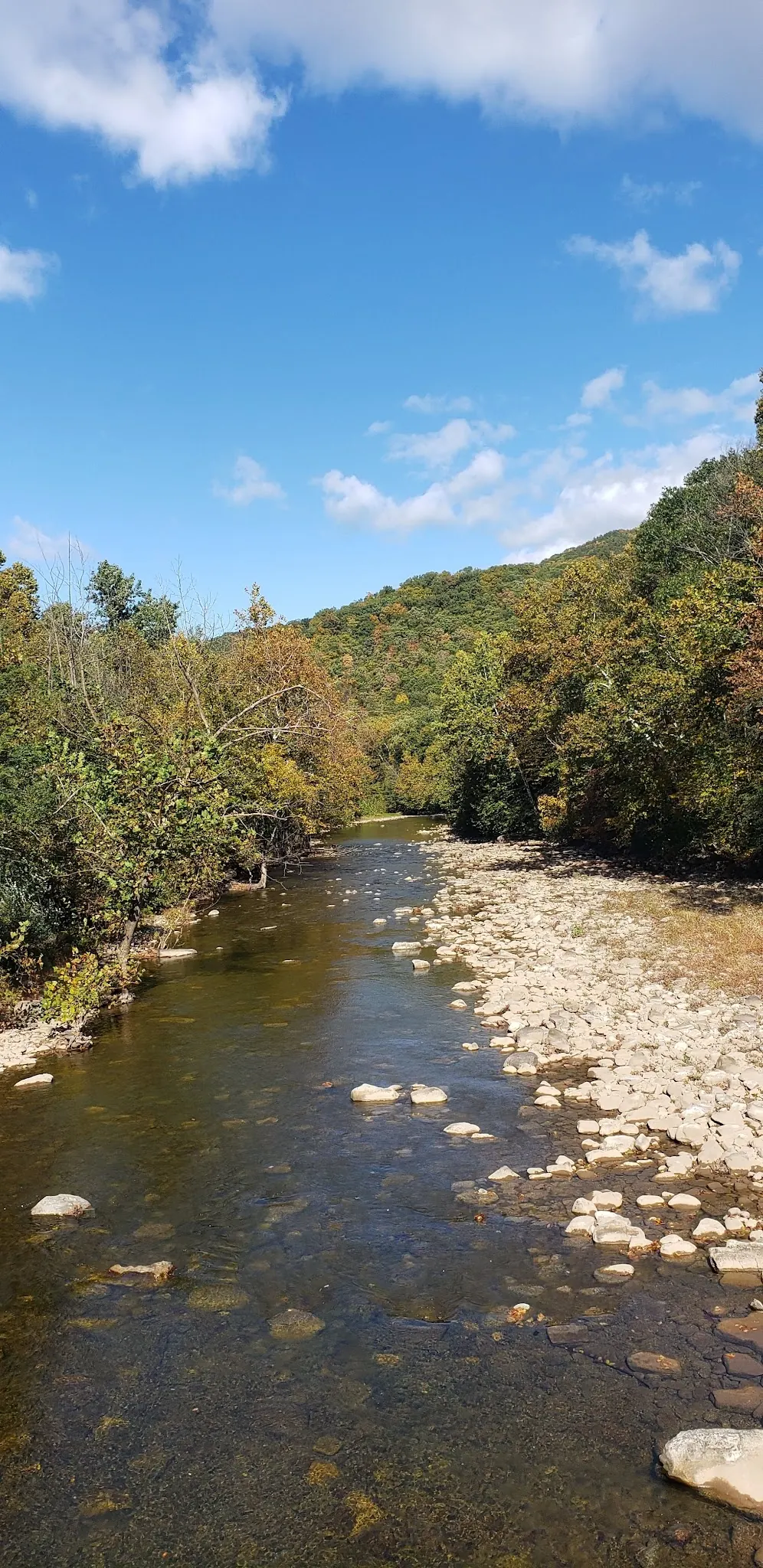
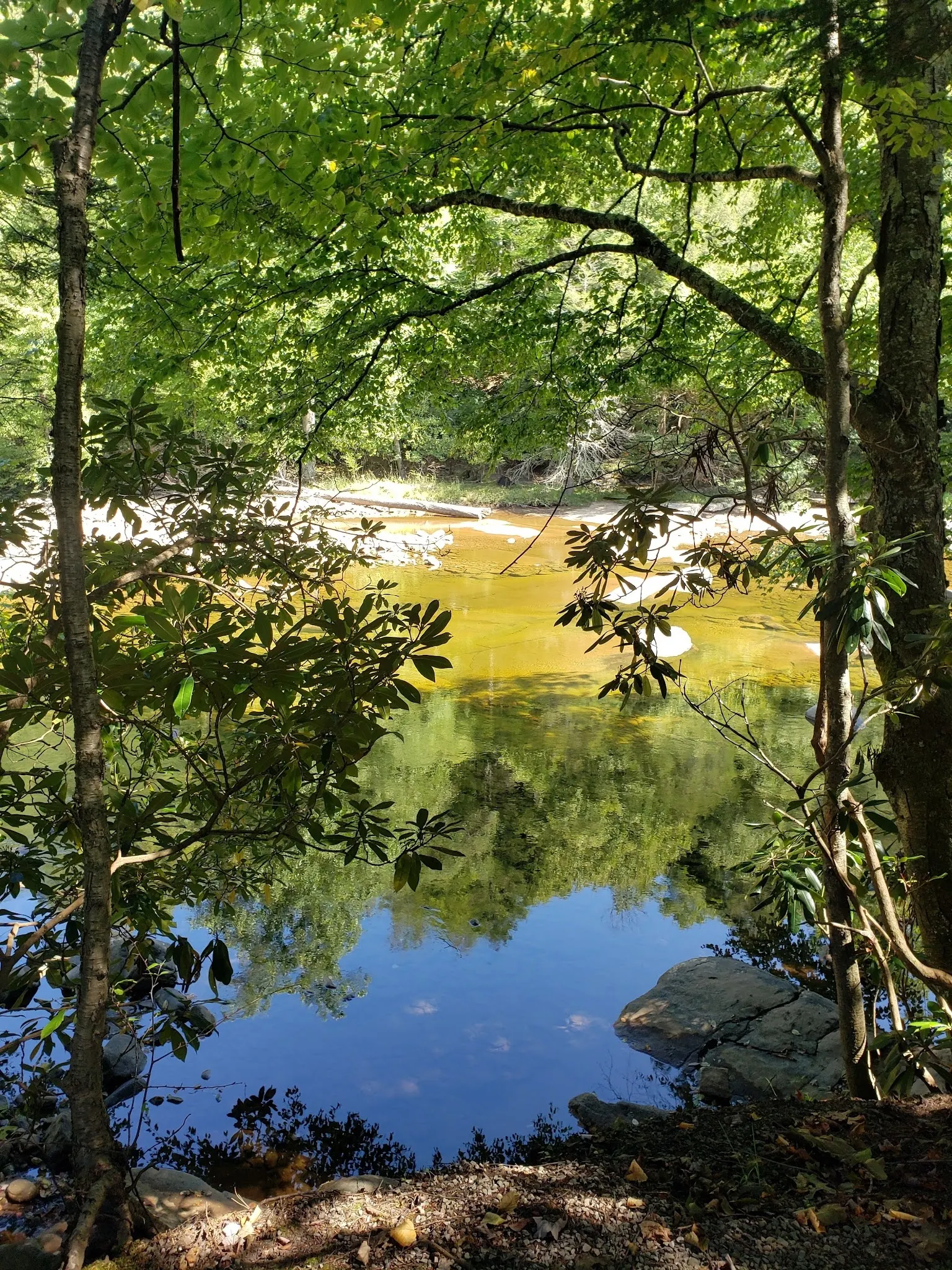
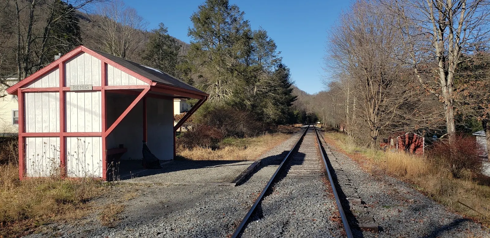
Images show campground lane, river channel, shaded bank and railway shelter. They provide area context, not identified High Falls or Mule Hole entries. The shelter photo does not confirm passenger service. Coordinates remain withheld instead of assigning a river-data station or scenic-photo point as a swimming entrance.
For the New Tygart Flyer, use the operator's confirmed boarding address at 315 Railroad Avenue, Elkins, and the instructions for your booked departure. For hiking, county tourism identifies the High Falls trailhead on Forest Road 44 south of Glady; confirm the current route with Monongahela National Forest. No verified walking route from Bemis to Mule Hole is provided. Do not walk active railroad tracks or rely on historical flag-stop instructions.
High Falls and Mule Hole are separate destinations. Confirm trail and river access before travel. The scenic train requires booking; a Bemis flag stop and swimming layover are not confirmed.
Confirm the entrance, parking arrangements, and legal access with the land manager. A map pin does not establish a public right of access. Follow posted routes and never block gates or driveways.
Current swimming permission has not been independently confirmed for this listing. Check official rules, fees, hours, and closures before visiting. Public park access does not necessarily include permission to swim. Respect private property and posted restrictions.
Water conditions can change quickly. This listing does not provide a current safety or water-quality assessment. Check official alerts and avoid entering water when conditions or permission are uncertain.
Bring sturdy water shoes to protect your feet on rocks and slippery surfaces. A waterproof dry bag keeps your phone, keys, and valuables safe. Pack a quick-dry towel, sun protection, and drinking water - never drink from the natural water source.
Nearby places from saved public map data, not necessarily facilities at the swimming spot. Confirm access, hours, fees, and amenities with the operator before you drive.
Map data retrieved 2026-06-15
Parking grounds
Forest Rd 91A, Elkins, WV 26241
Hiking area
Allegheny Trail, Bowden, WV 26254
Hiking area
Canaan Loop Rd, Thomas, WV 26292
Hiking area
Glady, WV 26268
Campground
Forest Road 162, Wymer, WV 26254
Campground
6599 Bemis Rd, Glady, WV 26268
Campground
W Laurel Fork Camp Rd, Glady, WV 26268
Public bathroom
530 Paul E. Malone Rd, Grafton, WV 26354
The operator lists 315 Railroad Avenue in Elkins. Confirm your date and ticket instructions; a Bemis flag stop is not verified.
The operator says no and describes boarding steps. Check directly before booking if your group has mobility requirements.
The operator prohibits pets but allows disability-required service animals. This is a train policy, not a campground or riverbank rule.
No track-walking route is provided. The historical route is withdrawn; confirm an authorized approach with land managers before planning Mule Hole.
No. Check data timestamps and access independently. The four historical photos provide area context, and precise entrance coordinates remain withheld.
Local tourism documents Bemis's railroad and lumber history.
Four historical views show campground lane, river channel, shaded bank and Bemis railway shelter. They do not identify High Falls or Mule Hole entries, authorize track walking or confirm a current passenger stop.
Pack out litter, respect private land and railway property, and use established authorized routes.
Browse every listed natural swimming spot in West Virginia.
Compare nearby options around Elkins before you choose a route.
Find similar waterfalls destinations across the directory.
See under-the-radar places and local favorites in the same state.
Compare easier-access destinations and safer planning options.
Explore waterfall-focused swimming destinations in West Virginia.
Safety & Access Notice
This information is for general planning only and may be incomplete, outdated, or inaccurate. Access rules, closures, water levels, currents, hazards, and legal restrictions can change at any time. Always verify current rules with the land manager or official source before visiting.
You are responsible for your own safety and for following all posted signs, laws, and local regulations. Read the full disclaimer.
Bemis Campground offers campsites and cabins at 6599 Bemis Road. Confirm reservations and charges directly. No blanket permission to camp at High Falls is claimed.
Loading weather data…
Safety & Access Notice
This information is for general planning only and may be incomplete, outdated, or inaccurate. Access rules, closures, water levels, currents, hazards, and legal restrictions can change at any time. Always verify current rules with the land manager or official source before visiting.
You are responsible for your own safety and for following all posted signs, laws, and local regulations. Read the full disclaimer.
Joshua Havens created Hidden Swimming Holes to make it easier for people to find — and safely visit — natural freshwater swimming destinations across the United States. He researches access conditions, water quality resources, and land management rules so you don't have to start from scratch. He holds a strong belief that good outdoor recreation information should be accurate, honest about its limitations, and freely available.
Discover other amazing natural swimming destinations across America