Emigrant Lake County Campground
Campground
12.7 mi
4.3 (29)
12 Campground, Ashland, OR 97520
Public restroomPublic showerRestroomRunning water

Background: generated illustration, not a photograph of this location.
See reviewed photos of The Quarry near Ashland and learn what to confirm about access, swimming permission, parking and camping before planning a visit.
Swimming permission unconfirmed
Confirm the owner or responsible land manager and current rules before entering. Do not cross gates, fences or posted restrictions. This review does not establish permission to swim, jump, dive or camp.
Location
A closer look
Photos show past visits, not current water levels or swimming conditions. Select a photo to view it larger.
This is a desk-researched listing. A record update or map check does not confirm current swimming permission or water conditions.
Found an error? Send a correction with the location and a source. How we research listings.
The historical listing describes a quarry pond near Keno Access Road off Dead Indian Memorial Road outside Ashland. The saved Rock Quarry place record aligns with that location, but a map listing is not permission to enter. This is a different destination from Howard Prairie Lake.
We have not established the current owner, responsible land manager or public swimming policy. The former assertion that the site is on national forest land has been withdrawn. Confirm authorized access and parking before planning a visit, and respect gates, fences and signs. A Google operational flag does not authorize swimming or camping.
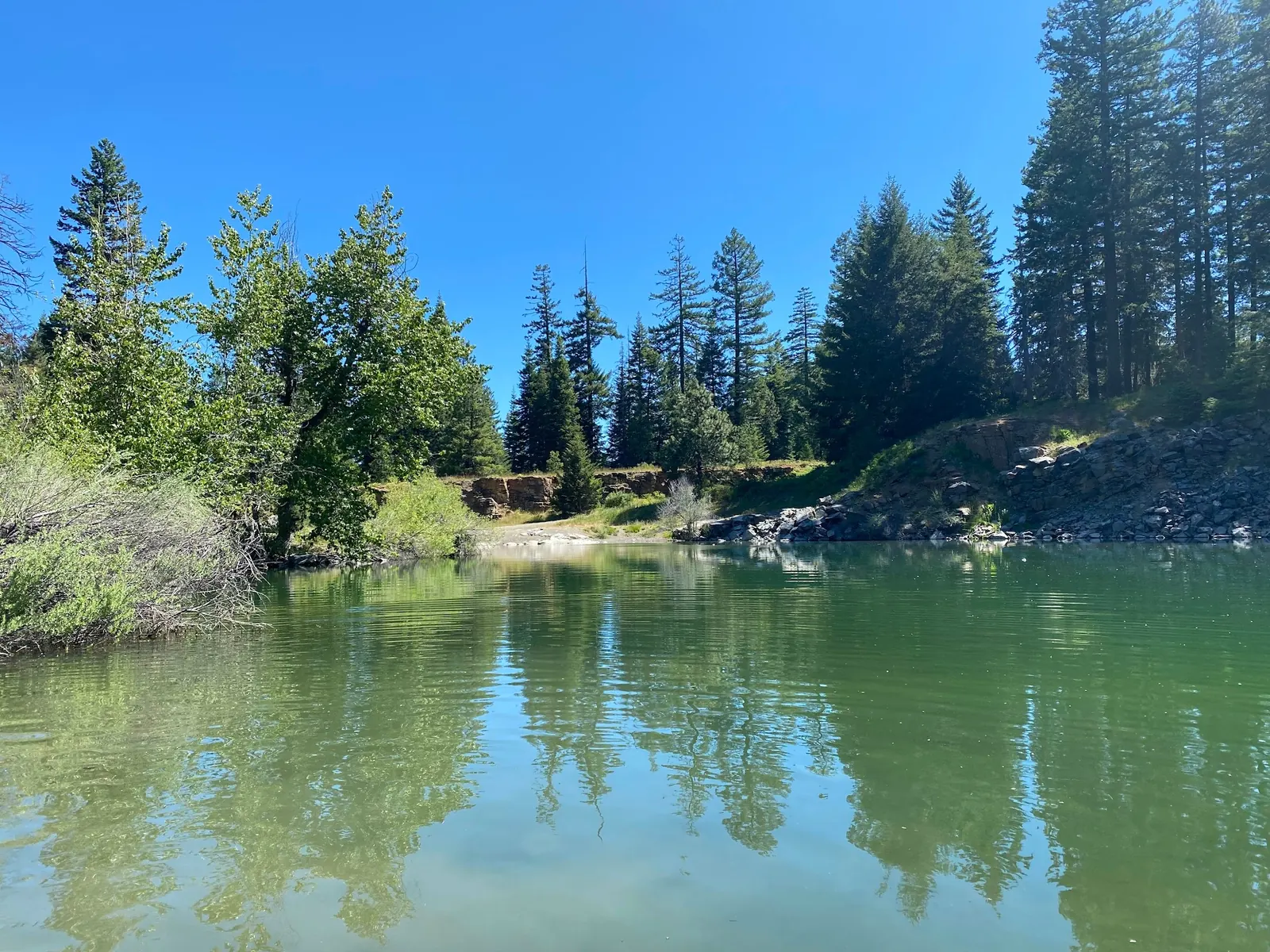
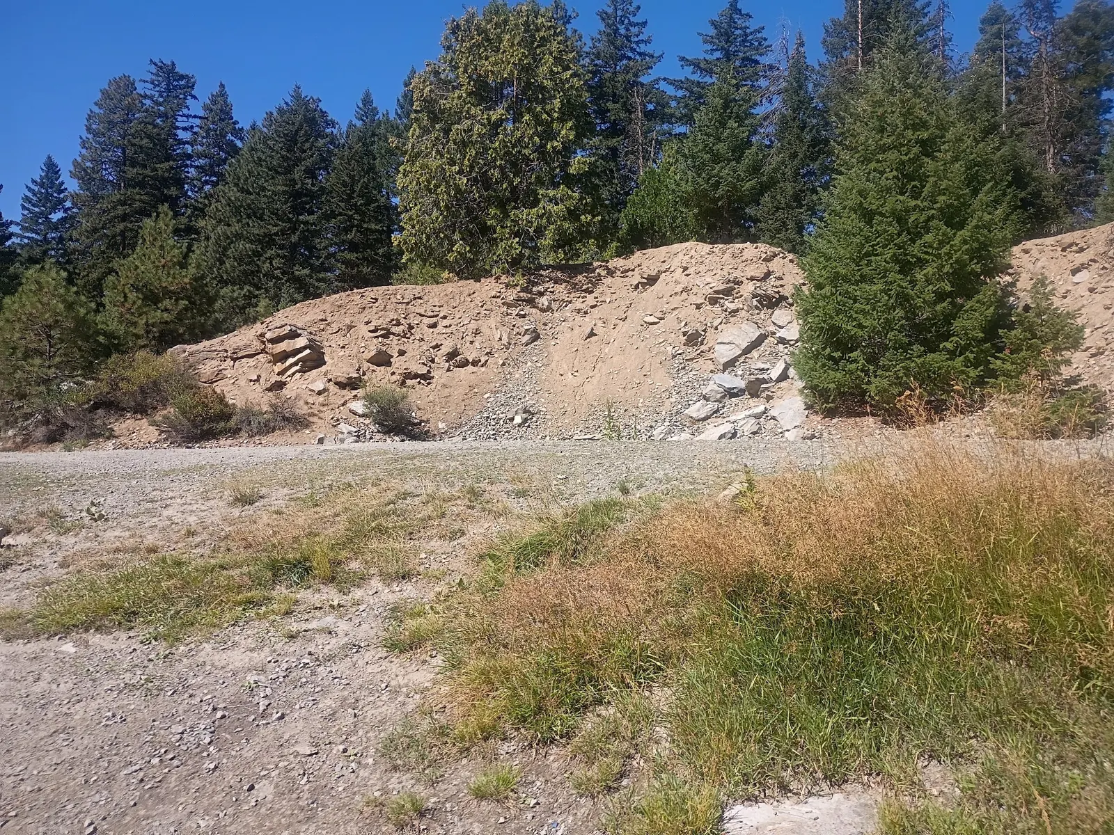
The reviewed collection shows a pond with wooded banks and a separate exposed rock bank. Neither image establishes present water quality, depth, a usable exit or a legal public viewpoint. Photos of visitors on ledges and a gear-filled clearing were not selected. The gallery is not a cliff-jumping guide.
The historical turn distances, gravel turnout and looping perimeter-road route have not been verified as a legal current approach. We have retired them from visitor instructions. References to informal campsites are not campground authorization. No current fee, opening hours, facilities or maintained water-entry route has been confirmed.
The Oregon Health Authority's recreational advisories explain that many waterbodies are not monitored. An attractive photograph or absence of an advisory is not a site-specific water-quality clearance. Oregon's cold-water guidance also warns that warm air does not make immersion safe. These are statewide resources, not quarry access rules.
Before using this location for an outing, establish who controls the property, whether visitors are allowed, where parking is authorized and whether swimming is permitted. If those answers cannot be confirmed, choose a managed destination with published visitor rules. Do not jump or dive from the quarry edges.
The historical listing places this quarry near Keno Access Road off Dead Indian Memorial Road outside Ashland, separate from Howard Prairie Lake. The old 18.5-mile drive, quarter-mile turnout and perimeter-road instructions have not been verified as a current legal approach and should not be used to enter the site. Confirm ownership, access permission and authorized parking before departure. The retained historical pin is not a confirmed public entrance or swimming entry. Respect barriers and do not use informal roads or roadside spaces as proof of permission.
Saved September 2026 Google data identifies Rock Quarry near the historical pin, but no owner or land-manager access policy was established. Our former national forest ownership assertion is withdrawn. No verified opening or closure determination is made.
Confirm the entrance, parking arrangements, and legal access with the land manager. A map pin does not establish a public right of access. Follow posted routes and never block gates or driveways.
Confirm the owner or responsible land manager and current rules before entering. Do not cross gates, fences or posted restrictions. This review does not establish permission to swim, jump, dive or camp. Public park access does not necessarily include permission to swim. Respect private property and posted restrictions.
Water conditions can change quickly. This listing does not provide a current safety or water-quality assessment. Check official alerts and avoid entering water when conditions or permission are uncertain.
Nearby places from saved public map data, not necessarily facilities at the swimming spot. Confirm access, hours, fees, and amenities with the operator before you drive.
Map data retrieved 2026-06-15
Campground
12 Campground, Ashland, OR 97520
Campground
5310 OR-66, Ashland, OR 97520
RV park
2925 OR-66, Ashland, OR 97520
Visitor center
at milepost 12.7 (Northbound Access Only Latitude: 42, 1678 Longitude: -122.6527, Ashland, OR 97520
Public bathroom
Ashland, OR 97520
Public bathroom
880 Perozzi Street, Ashland, OR 97520
Parking lot
130 N Pioneer St, Ashland, OR 97520
Visitor center
110 E Main St, Ashland, OR 97520
Current public access has not been verified. The saved Google record does not establish landowner consent or visitor rules.
No. The historical listing describes a separate quarry pond near Keno Access Road. Do not transfer lake facilities or permissions to it.
Camping authorization has not been confirmed. Old campsite descriptions and photos of visitor gear are not proof of a permitted campground.
No. Historical scenery does not establish current water quality, depth, temperature, submerged hazards or a usable exit.
No. The old approach has not been verified as a current legal route, and we do not recommend jumping or diving from quarry ledges.
The site's quarry identity is recorded in historical directions and saved place data. Ownership, operating history and reclamation details have not been independently established.
Two historical photos from the matched Rock Quarry collection show a wooded pond and exposed rocky bank. They are not evidence of legal public viewpoints, present conditions or safe water entry.
Respect property boundaries and closures. Do not create access paths, leave waste or assume an informal fire ring or campsite is authorized.
Browse every listed natural swimming spot in Oregon.
Compare nearby options around Medford before you choose a route.
Find similar quarry destinations across the directory.
See under-the-radar places and local favorites in the same state.
Compare easier-access destinations and safer planning options.
Use this safety guide before entering any natural water.
Safety & Access Notice
This information is for general planning only and may be incomplete, outdated, or inaccurate. Access rules, closures, water levels, currents, hazards, and legal restrictions can change at any time. Always verify current rules with the land manager or official source before visiting.
You are responsible for your own safety and for following all posted signs, laws, and local regulations. Read the full disclaimer.
Camping authorization not verified. Historical descriptions of campsites and photos of visitor gear do not establish a designated or permitted campground.
Loading weather data…
Safety & Access Notice
This information is for general planning only and may be incomplete, outdated, or inaccurate. Access rules, closures, water levels, currents, hazards, and legal restrictions can change at any time. Always verify current rules with the land manager or official source before visiting.
You are responsible for your own safety and for following all posted signs, laws, and local regulations. Read the full disclaimer.
Joshua Havens created Hidden Swimming Holes to make it easier for people to find — and safely visit — natural freshwater swimming destinations across the United States. He researches access conditions, water quality resources, and land management rules so you don't have to start from scratch. He holds a strong belief that good outdoor recreation information should be accurate, honest about its limitations, and freely available.
Discover other amazing natural swimming destinations across America