Coquille Myrtle Grove State Natural Site
State park
0.5 mi
4.3 (42)
Powers Hwy, Myrtle Point, OR 97458
Picnic tablesPublic restroom

Background: generated illustration, not a photograph of this location.
Plan a Coquille Myrtle Grove river visit with reviewed photos, Powers Highway directions, picnic and restroom details, and drinking-water advice.
Location
A closer look
Photos show past visits, not current water levels or swimming conditions. Select a photo to view it larger.
This is a desk-researched listing. A record update or map check does not confirm current swimming permission or water conditions.
Found an error? Send a correction with the location and a source. How we research listings.
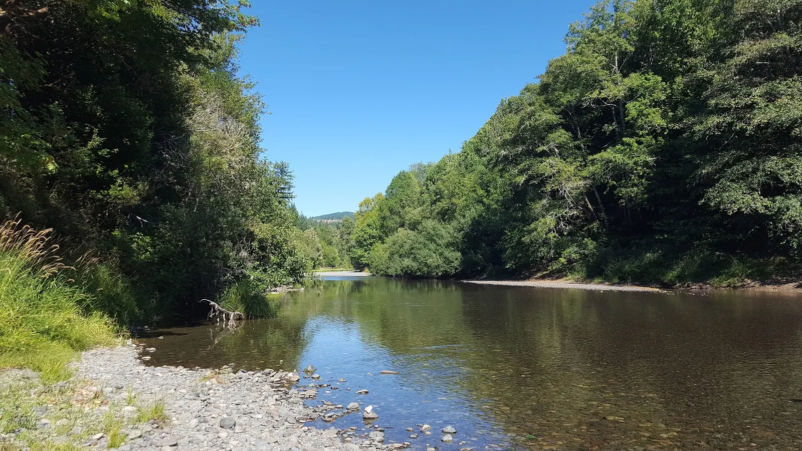
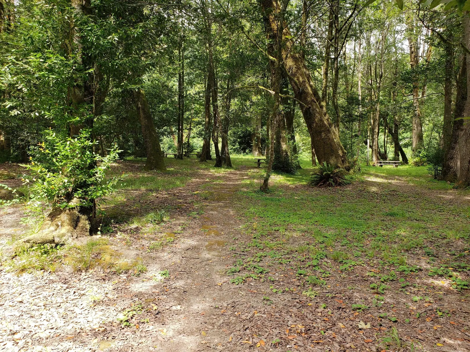
Coquille Myrtle Grove State Natural Site sits beside the South Fork Coquille River along Powers Highway. Oregon State Parks identifies a swimming hole with a beach downhill from the parking area. The myrtle grove gives visitors a shaded place to picnic before or after spending time by the river.
There is no drinking water on site. Pack enough for your group, along with food and a bag for carrying out rubbish. Oregon Fish & Wildlife lists picnic facilities and restrooms. This is a day-use destination, not an overnight campground.
From Myrtle Point, follow Highway 42 south to Powers Highway, then continue south about nine miles following park signs. The listing pin uses Oregon State Parks' published park coordinates; it is a park reference, not a precise water-entry marker. The beach is downhill from parking. A short approach does not establish wheelchair access or make the river suitable for every visitor.
The park is open for day use throughout the year, but that does not mean swimming conditions are suitable year-round. The site can flood at high water. Check park notices and assess the river on arrival. Do not use a photograph's apparent clarity or calm surface as evidence of current water quality, depth or safety. Wear a properly fitted life jacket for floating, keep children within close reach and avoid jumping into water with an unseen bottom.
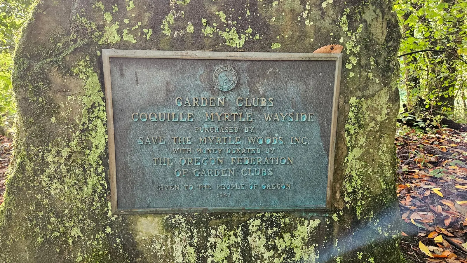
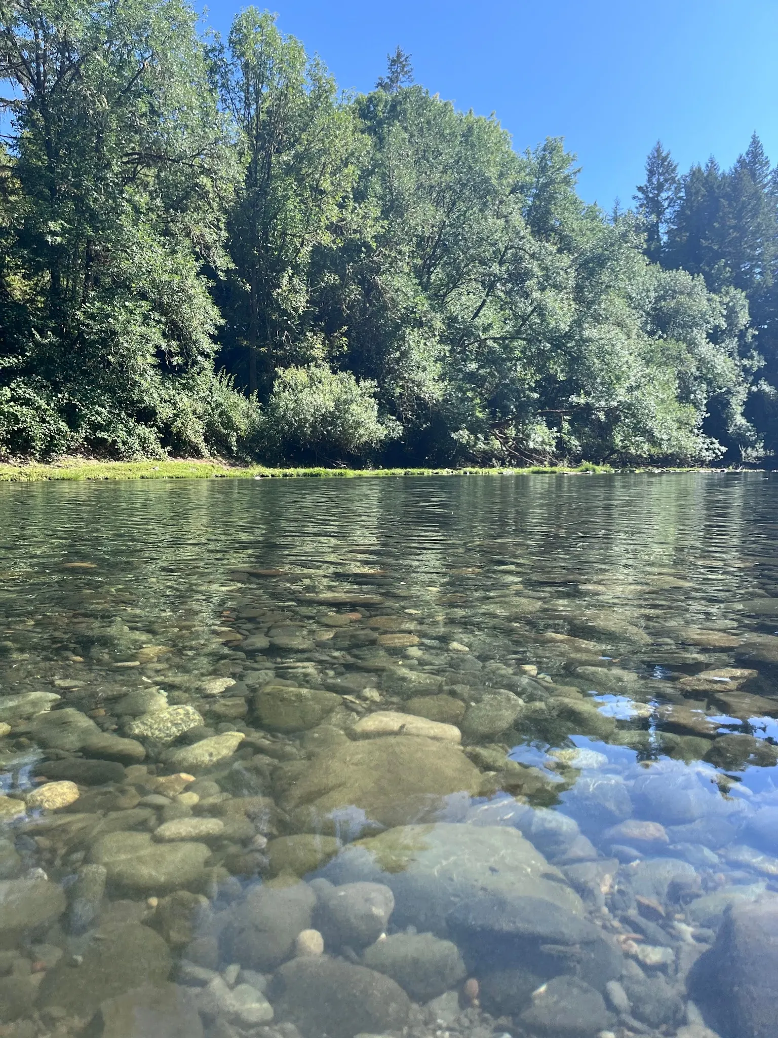
The reviewed photos show the river shoreline, shaded picnic grove and Coquille Myrtle Wayside conservation plaque. They help explain the setting, but do not document today's river level or a universally suitable swimming entry.
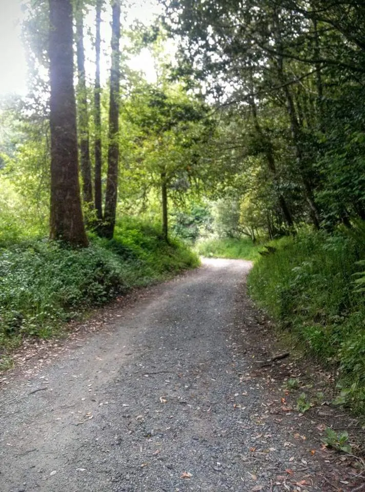
The additional views show a gravel path beneath trees and rounded river stones beneath the water. The exact path segment and water-entry point are not independently established. These images cannot prove a step-free beach approach, safe footing, present water clarity or depth. Use the park's current directions and notices; the lower-resolution path photograph is kept at its native size rather than enlarged.
From Myrtle Point, follow Highway 42 south to Powers Highway, then travel south about nine miles to the signed natural site. Use the official park directions for navigation. The beach is downhill from parking; the map pin is the official park reference, not a precise swimming entry.
Day-use site with parking, picnic facilities and restrooms. No drinking water on site. The beach is downhill from parking. The map pin is Oregon State Parks' park reference, not a precise swimming-entry marker.
Confirm the entrance, parking arrangements, and legal access with the land manager. A map pin does not establish a public right of access. Follow posted routes and never block gates or driveways.
Current swimming permission has not been independently confirmed for this listing. Check official rules, fees, hours, and closures before visiting. Public park access does not necessarily include permission to swim. Respect private property and posted restrictions.
Water conditions can change quickly. This listing does not provide a current safety or water-quality assessment. Check official alerts and avoid entering water when conditions or permission are uncertain.
Bring sturdy water shoes to protect your feet on rocks and slippery surfaces. A waterproof dry bag keeps your phone, keys, and valuables safe. Pack a quick-dry towel, sun protection, and drinking water - never drink from the natural water source.
Nearby places from saved public map data, not necessarily facilities at the swimming spot. Confirm access, hours, fees, and amenities with the operator before you drive.
Map data retrieved 2026-06-15
State park
Powers Hwy, Myrtle Point, OR 97458
Visitor center
50 Central Ave, Coos Bay, OR 97420
Public bathroom
89526 Cape Arago Hwy, Coos Bay, OR 97420
Campground
Unnamed Road, Cottell Ln, Coos Bay, OR 97420
Campground
92443 Cape Arago Hwy, Coos Bay, OR 97420
Public bathroom
Horsfall Beach Rd, North Bend, OR 97459
Campground
93507 Riley Ranch Ln, North Bend, OR 97459
Checking nearby USGS water conditions…
Yes. Oregon State Parks describes a swimming hole and beach downhill from the parking area. Current conditions and posted restrictions still determine whether you should enter.
No. Bring your own drinking water. Picnic facilities and restrooms are listed, but there is no drinking-water supply.
No. This is a day-use natural site. Arrange overnight accommodation elsewhere.
No. It uses the official park coordinates. Follow signs from the parking area and assess the downhill approach and river conditions on arrival.
The conservation plaque commemorates the effort to protect the myrtle grove.
Best shots at sunrise and sunset, reflective river surfaces, vibrant autumn foliage, and native wildlife.
Visitors are encouraged to follow Leave No Trace principles to protect the natural habitat and maintain the area’s ecological balance.
Browse every listed natural swimming spot in Oregon.
Compare nearby options around Roseburg before you choose a route.
Find similar river destinations across the directory.
See under-the-radar places and local favorites in the same state.
Compare easier-access destinations and safer planning options.
Use this safety guide before entering any natural water.
Safety & Access Notice
This information is for general planning only and may be incomplete, outdated, or inaccurate. Access rules, closures, water levels, currents, hazards, and legal restrictions can change at any time. Always verify current rules with the land manager or official source before visiting.
You are responsible for your own safety and for following all posted signs, laws, and local regulations. Read the full disclaimer.
No camping at site. There are several campgrounds nearby on the coast.
Loading weather data…
Safety & Access Notice
This information is for general planning only and may be incomplete, outdated, or inaccurate. Access rules, closures, water levels, currents, hazards, and legal restrictions can change at any time. Always verify current rules with the land manager or official source before visiting.
You are responsible for your own safety and for following all posted signs, laws, and local regulations. Read the full disclaimer.
Joshua Havens created Hidden Swimming Holes to make it easier for people to find — and safely visit — natural freshwater swimming destinations across the United States. He researches access conditions, water quality resources, and land management rules so you don't have to start from scratch. He holds a strong belief that good outdoor recreation information should be accurate, honest about its limitations, and freely available.
Discover other amazing natural swimming destinations across America