Umpqua Hot Springs
Hiking area
0.3 mi
4.3 (767)
NF-3401, Idleyld Park, OR 97447
Picturesque natural hot springs in a small travertine pool with views of Surprise Falls.

Background: generated illustration, not a photograph of this location.
Prepare for Umpqua Hot Springs with the steep trail, day-use limits, cashless parking payment and reviewed pool photos. Check winter road access before leaving home.
Swimming restriction
Current manager pages describe hot-spring soaking and sunrise-to-sunset day use. This does not authorize separate North Umpqua River swimming or overnight use.
Official sources checked:
Location
A closer look
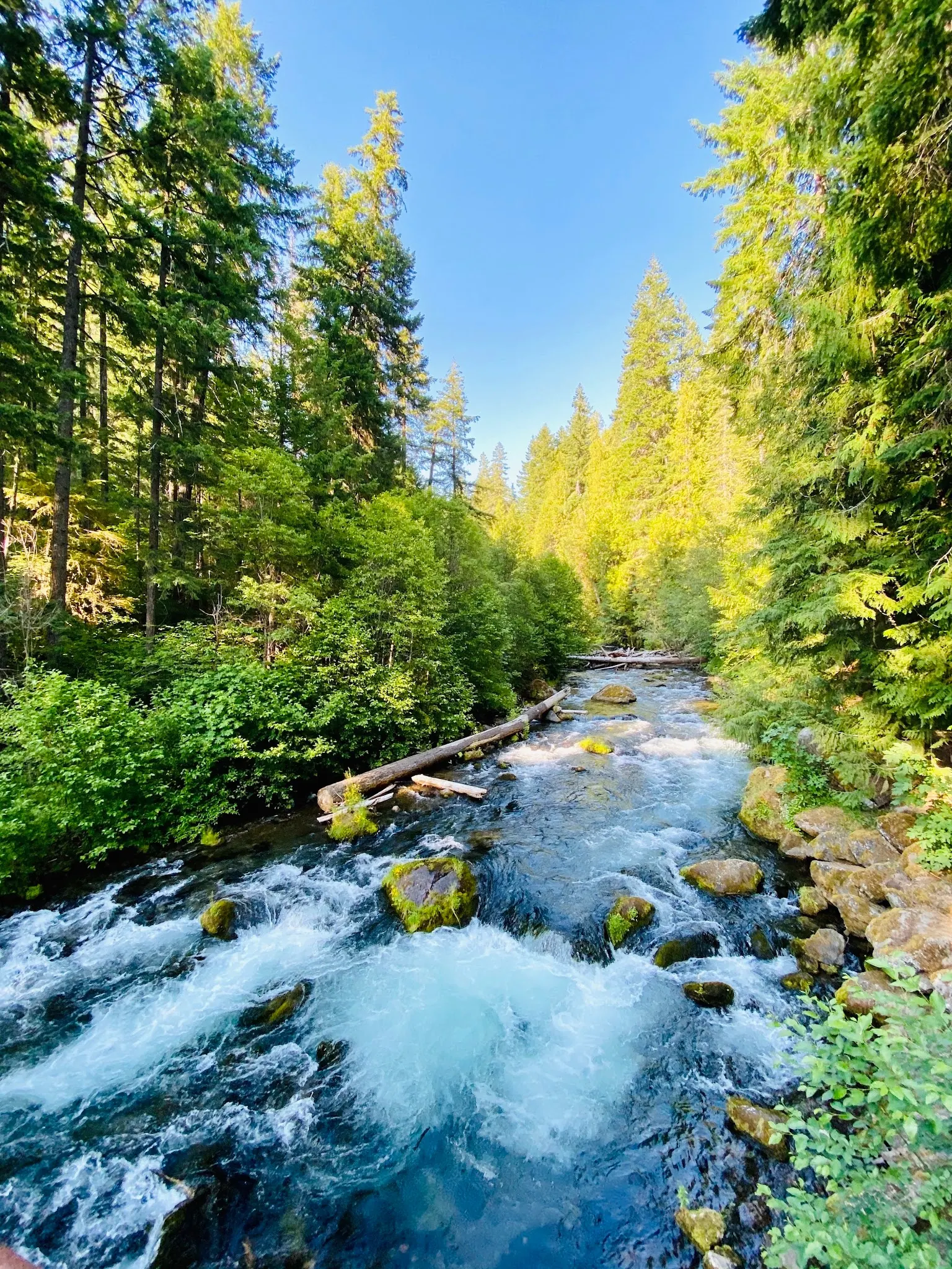
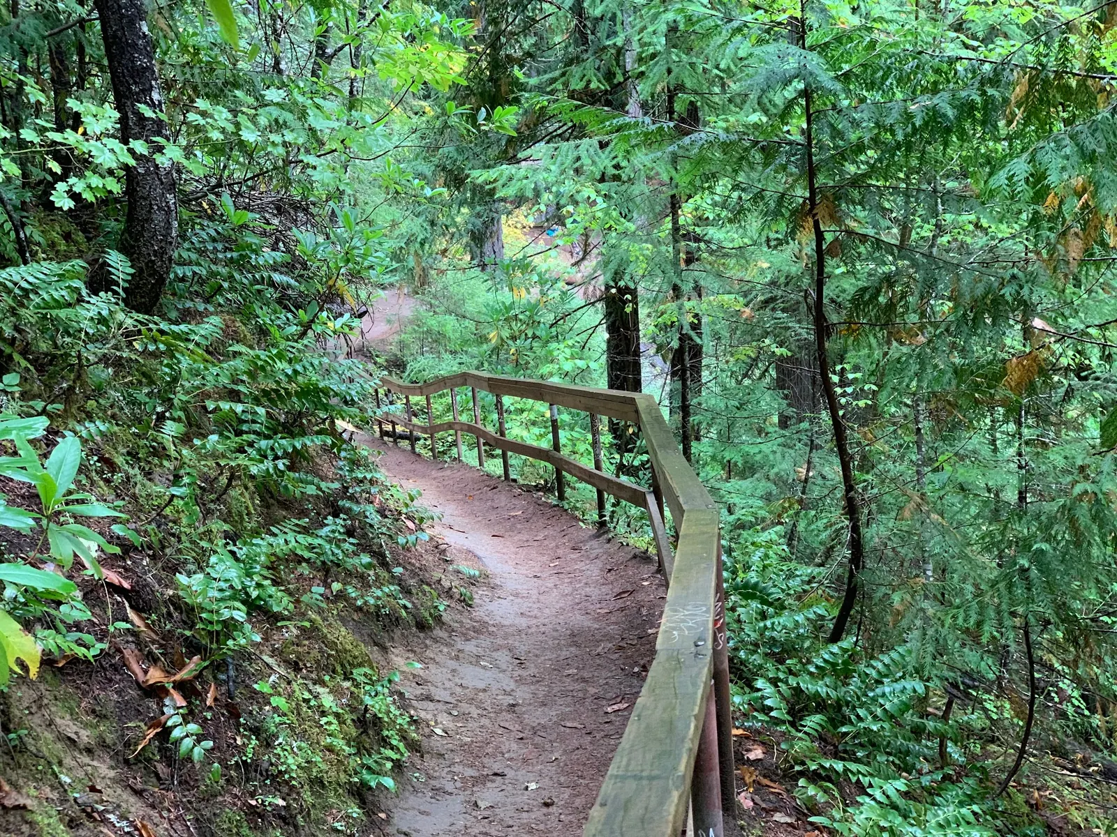
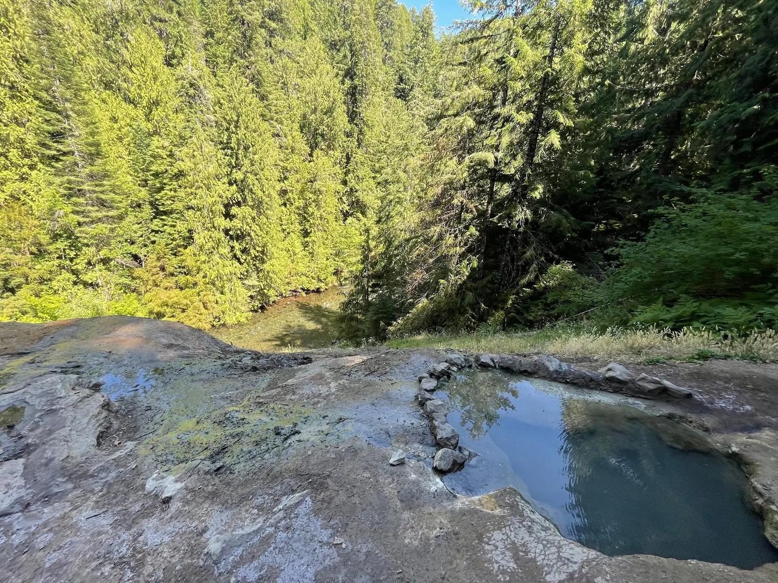
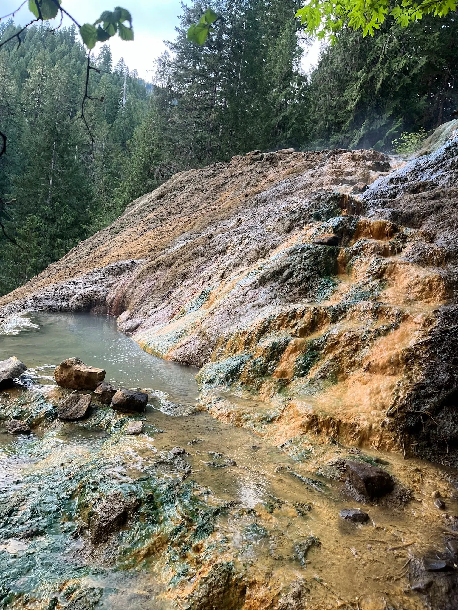
Photos show past visits, not current water levels or swimming conditions. Select a photo to view it larger.
This is a desk-researched listing. A record update or map check does not confirm current swimming permission or water conditions.
Found an error? Send a correction with the location and a source. How we research listings.
Start with the current trailhead page. The access section below separates parking, facilities and overnight arrangements so you can plan the whole visit, not just the pools.
Read the Forest Service cashless-payment instructions before leaving home. Cash or checks are no longer accepted at the affected sites. At arrival, follow the kiosk's instructions and display the required payment confirmation.
Check the trail description and current road conditions. Choose footwear for a steep, uneven approach and leave enough daylight for the return, including any extra road walk.
The gallery uses empty-site views rather than identifiable bathers. Decide whether the setting fits your group before making the trip. Neither attractive photos nor a manager-listed activity certifies safe temperatures or current water quality.
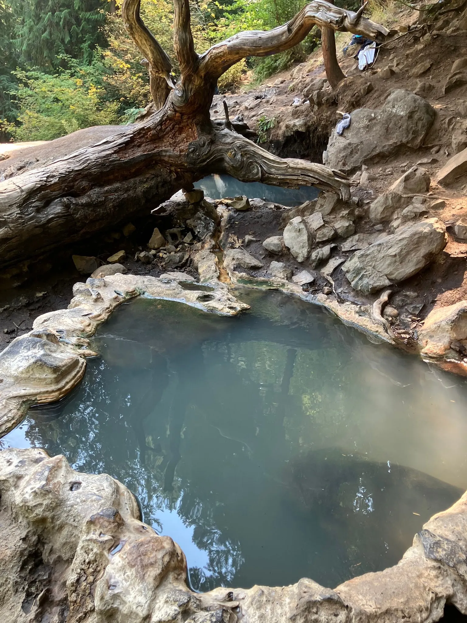
The added historical photograph shows empty mineral-edged pools beneath a twisted fallen trunk and an uneven wooded slope. It helps illustrate the terrain but does not identify a step-free approach, a maintained handrail, safe footing or today's pool temperature. Clothing left nearby is visitor property, not a supplied amenity. Use the Forest Service's current trailhead information and day-use rules rather than the photograph as a route or water-condition check.
From Oregon 138 near milepost 59, use Forest Road 34, cross the concrete bridge at the bottom of the hill, continue 2.2 miles and turn right onto Road 3401. After about 0.7 mile the parking area is on the left. Confirm current road access; the retained point is not a verified parking entrance.
Reviewed October 8, 2026: trailhead lists Site Open. The cashless-payment alert explicitly includes Umpqua Hot Springs. Prepare the Recreation.gov app, account and payment method before entering limited-service areas, then follow kiosk instructions. The linked 2024 rules order ended April 18, 2026; it is not represented here as an active order.
Confirm the entrance, parking arrangements, and legal access with the land manager. A map pin does not establish a public right of access. Follow posted routes and never block gates or driveways.
Current manager pages describe hot-spring soaking and sunrise-to-sunset day use. This does not authorize separate North Umpqua River swimming or overnight use. Public park access does not necessarily include permission to swim. Respect private property and posted restrictions.
Water conditions can change quickly. This listing does not provide a current safety or water-quality assessment. Check official alerts and avoid entering water when conditions or permission are uncertain.
Bring sturdy water shoes to protect your feet on rocks and slippery surfaces. A waterproof dry bag keeps your phone, keys, and valuables safe. Pack a quick-dry towel, sun protection, and drinking water - never drink from the natural water source.
Nearby places from saved public map data, not necessarily facilities at the swimming spot. Confirm access, hours, fees, and amenities with the operator before you drive.
Map data retrieved 2026-06-15
Hiking area
NF-3401, Idleyld Park, OR 97447
Picturesque natural hot springs in a small travertine pool with views of Surprise Falls.
Parking lot
7JVM+9R, Idleyld Park, OR 97447
Public bathroom
7JVM+CX, Idleyld Park, OR 97447
Hiking area
NF-3401, Idleyld Park, OR 97447
Hiking area
7H7F+J3, Idleyld Park, OR 97447
Campground
Glide, OR 97443
Campground
Co Hwy 17, Glide, OR 97443
Campground
Cavitt Creek Rd, Glide, OR 97443
Checking nearby USGS water conditions…
The current cashless alert includes this site. Prepare the app and payment method ahead of travel, or confirm accepted-pass arrangements.
No. Winter road gating can add a substantial approach; check the current gate and road conditions.
No. It provides landscape context for the hot springs, not river-swimming permission.
Historically significant to Native American tribes for its healing properties; continues to be a cherished natural site.
Reviewed empty pools, trail and river-context photos exclude visible bathers. River scenery does not establish a swimming entry.
Stay on authorized routes, leave natural features undisturbed and carry out litter.
Browse every listed natural swimming spot in Oregon.
Compare nearby options around Roseburg before you choose a route.
Find similar hot springs destinations across the directory.
See under-the-radar places and local favorites in the same state.
Compare easier-access destinations and safer planning options.
Use this safety guide before entering any natural water.
Safety & Access Notice
This information is for general planning only and may be incomplete, outdated, or inaccurate. Access rules, closures, water levels, currents, hazards, and legal restrictions can change at any time. Always verify current rules with the land manager or official source before visiting.
You are responsible for your own safety and for following all posted signs, laws, and local regulations. Read the full disclaimer.
No overnight use at the hot springs. Manager identifies Toketee Lake Campground as the closest overnight campground; confirm its availability separately.
Loading weather data…
Safety & Access Notice
This information is for general planning only and may be incomplete, outdated, or inaccurate. Access rules, closures, water levels, currents, hazards, and legal restrictions can change at any time. Always verify current rules with the land manager or official source before visiting.
You are responsible for your own safety and for following all posted signs, laws, and local regulations. Read the full disclaimer.
Joshua Havens created Hidden Swimming Holes to make it easier for people to find — and safely visit — natural freshwater swimming destinations across the United States. He researches access conditions, water quality resources, and land management rules so you don't have to start from scratch. He holds a strong belief that good outdoor recreation information should be accurate, honest about its limitations, and freely available.
Discover other amazing natural swimming destinations across America