West Rim Trailhead
Hiking area
0.2 mi
5 (1)
G8C4+9F, Dansville, NY 14437

Background: generated illustration, not a photograph of this location.
Check Stony Brook's dated wading-area and gorge-trail notices, choose the correct entrance and explore reviewed scenery photos without assuming waterfall swimming is allowed.
Swimming restriction
No swimming or wading in the gorge. Check the separate designated water-area notice before planning a visit.
Official sources checked:
Location
A closer look
Photos show past visits, not current water levels or swimming conditions. Select a photo to view it larger.
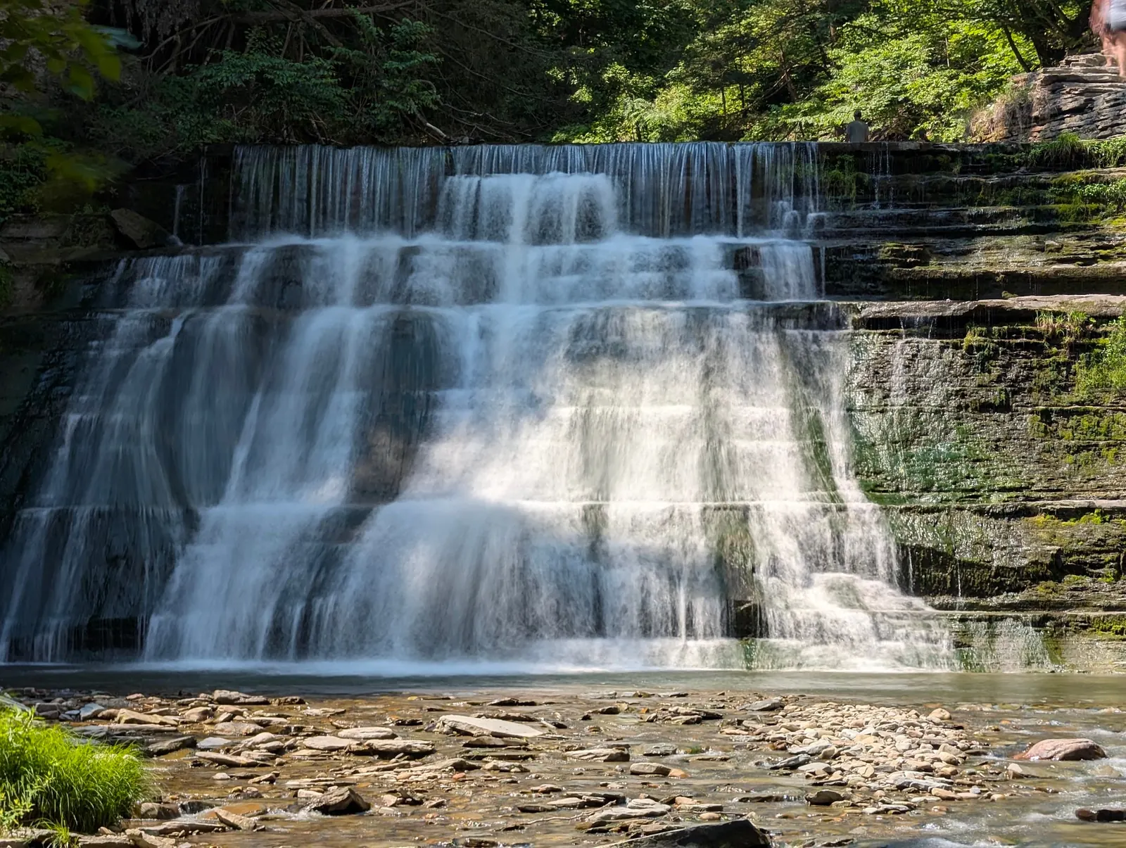
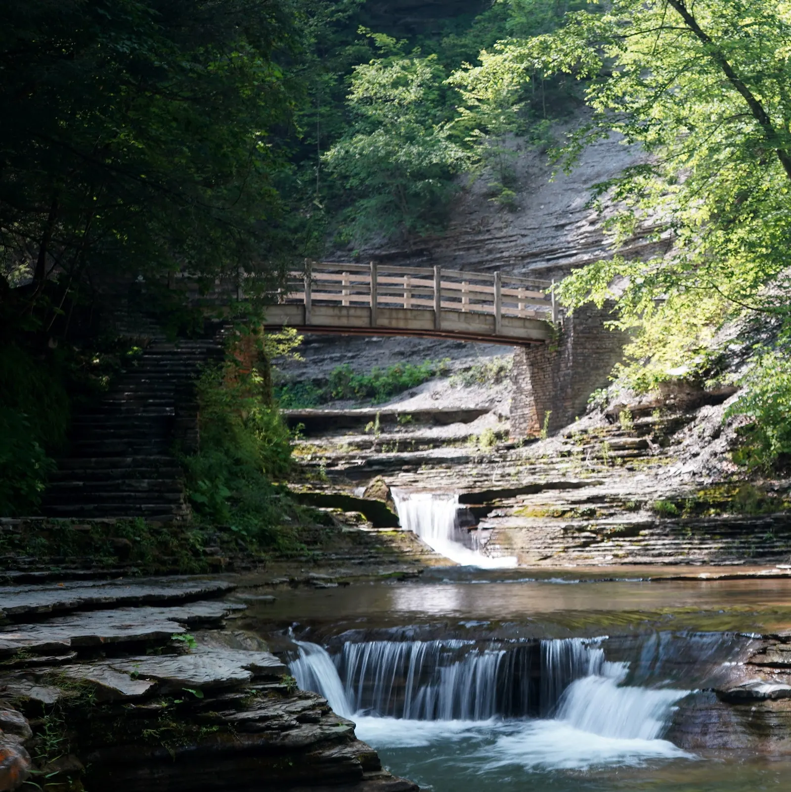
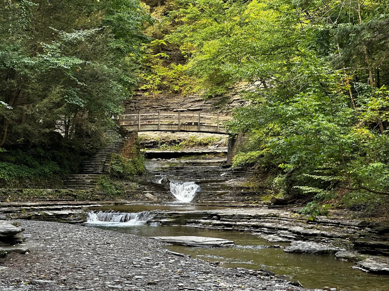
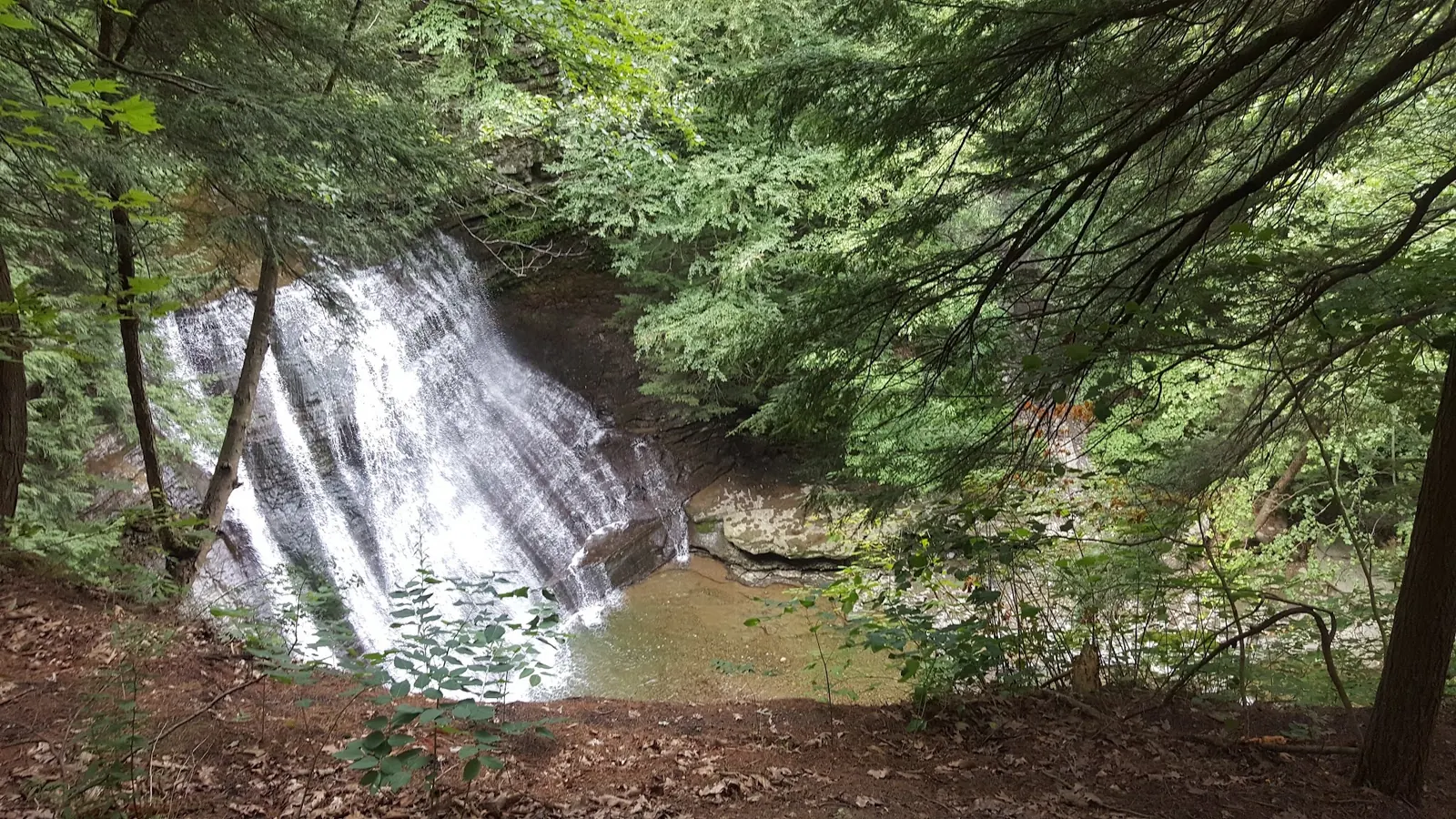
This is a desk-researched listing. A record update or map check does not confirm current swimming permission or water conditions.
Found an error? Send a correction with the location and a source. How we research listings.
A waterfall gallery can make this look like an unrestricted swimming destination. It is not. Read the dated access information above and the manager's current notices before deciding what sort of visit to make.
Route descriptions can survive online long after access changes. Plan a return route within the currently open section, follow marked turnaround points and avoid shortcuts around barriers. Treat any future reopening date as provisional.
Discuss walking needs before arrival and bring shoes suited to wet, uneven surfaces. Keep children close on viewing paths. If the intended route is unsuitable, choose a different activity instead of improvising a descent to the stream.
These scenic images illustrate the landscape, not today's trail condition or water-area operation. The gallery intentionally omits a crowded historical pool image that could give the wrong impression about current access.
The added photographs show stepped terrain and a wooded waterfall basin, not accessible water entry. Gorge swimming and wading are prohibited. The manager's October 2, 2026 notice limits the gorge outing to the lower half-mile and excludes the southern quarter-mile; full through-hiking is unavailable. It anticipates maintenance closure November 2 and a tentative May 29, 2027 reopening. Recheck the current trail notice; old photographs cannot establish today's open route.
For day use, select the official Lower/North Entrance at 10820 Route 36 South, Dansville. Do not confuse it with the Upper/South campground entrance. This listing's retained point is not a verified water entry.
October 2, 2026 notice: lower Gorge Trail supports a 1-mile out-and-back; upper portion closed, no through-hike. Seasonal closure expected November 2, with only tentative May 29, 2027 reopening. Recheck before departure.
Confirm the entrance, parking arrangements, and legal access with the land manager. A map pin does not establish a public right of access. Follow posted routes and never block gates or driveways.
No swimming or wading in the gorge. Check the separate designated water-area notice before planning a visit. Public park access does not necessarily include permission to swim. Respect private property and posted restrictions.
Water conditions can change quickly. This listing does not provide a current safety or water-quality assessment. Check official alerts and avoid entering water when conditions or permission are uncertain.
Bring sturdy water shoes to protect your feet on rocks and slippery surfaces. A waterproof dry bag keeps your phone, keys, and valuables safe. Pack a quick-dry towel, sun protection, and drinking water - never drink from the natural water source.
Nearby places from saved public map data, not necessarily facilities at the swimming spot. Confirm access, hours, fees, and amenities with the operator before you drive.
Map data retrieved 2026-06-15
Hiking area
G8C4+9F, Dansville, NY 14437
Hiking area
G8C4+V4, Dansville, NY 14437
Campground
Dansville, NY 14437
Campground
10861 McCurdy Rd, Dansville, NY 14437
Campground
11288 Poags Hole Rd, Dansville, NY 14437
Hiking area
1566 Whiteman Gully Rd, Dansville, NY 14437
Federal government office
5218 NY-414, Hector, NY 14841
Public bathroom
11e W Genesee St, Skaneateles, NY 13152
Checking nearby USGS water conditions…
No. Follow the water-access restriction stated above and the current park signs.
No. The latest manager notice, not an older itinerary, determines which route you can use.
No. Confirm water-area operations separately before booking a swim-focused trip.
The park’s development by the Civilian Conservation Corps during the Great Depression highlights its historical significance and contribution to conservation efforts.
Two reviewed historical images show a cascade and a stone bridge beside the stream. A crowded deep-pool frame was excluded. Photos neither confirm that a depicted trail is open nor permit gorge swimming.
Pack out litter, stay on authorized paths and leave plants and rocks in place. Keep photography separate from advice about legal water access.
Browse every listed natural swimming spot in New York.
Compare nearby options around Rochester before you choose a route.
Find similar river destinations across the directory.
See under-the-radar places and local favorites in the same state.
Compare easier-access destinations and safer planning options.
Explore waterfall-focused swimming destinations in New York.
Safety & Access Notice
This information is for general planning only and may be incomplete, outdated, or inaccurate. Access rules, closures, water levels, currents, hazards, and legal restrictions can change at any time. Always verify current rules with the land manager or official source before visiting.
You are responsible for your own safety and for following all posted signs, laws, and local regulations. Read the full disclaimer.
Use the separate campground entrance and current reservation service. Camping reservations do not establish swimming availability.
Loading weather data…
Safety & Access Notice
This information is for general planning only and may be incomplete, outdated, or inaccurate. Access rules, closures, water levels, currents, hazards, and legal restrictions can change at any time. Always verify current rules with the land manager or official source before visiting.
You are responsible for your own safety and for following all posted signs, laws, and local regulations. Read the full disclaimer.
Joshua Havens created Hidden Swimming Holes to make it easier for people to find — and safely visit — natural freshwater swimming destinations across the United States. He researches access conditions, water quality resources, and land management rules so you don't have to start from scratch. He holds a strong belief that good outdoor recreation information should be accurate, honest about its limitations, and freely available.
Discover other amazing natural swimming destinations across America