Stillhouse Hollow Falls Trail
Trailhead
0
Tennessee 38474
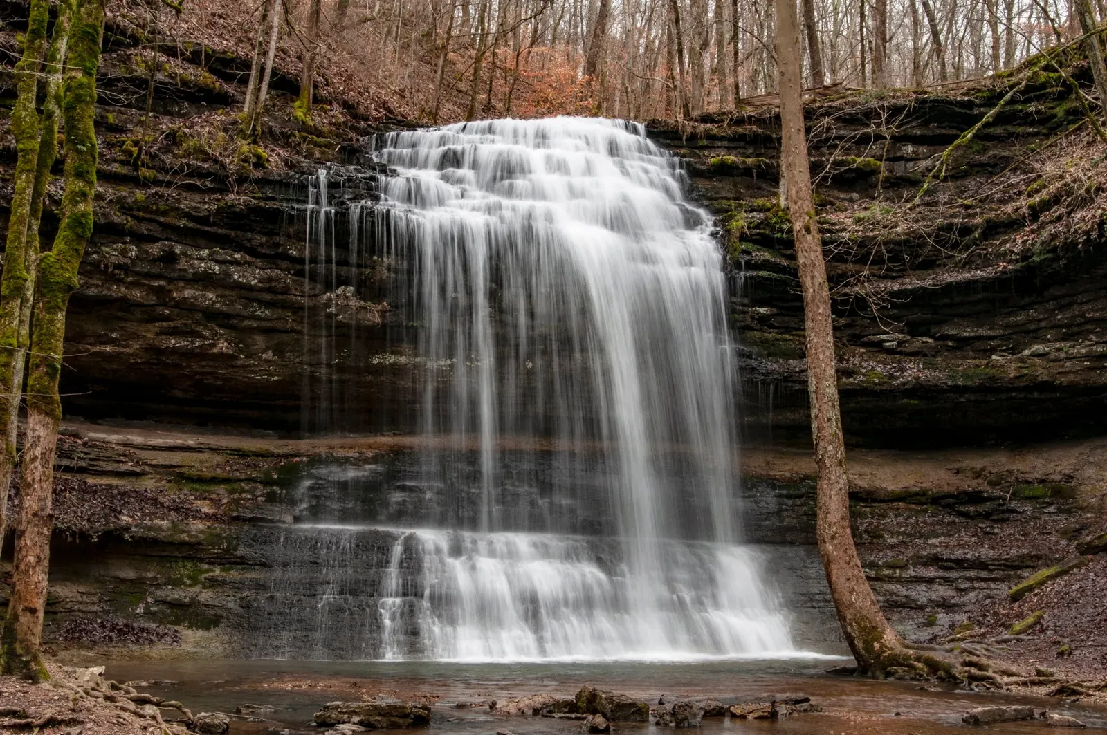
Background photo from a past visit, not current conditions. View photos and source links
Plan a waterfall hike at Stillhouse Hollow Falls near Summertown, Tennessee. Check trail distance, limited parking and official access information.
Location
A closer look
Photos show past visits, not current water levels or swimming conditions. Select a photo to view it larger.
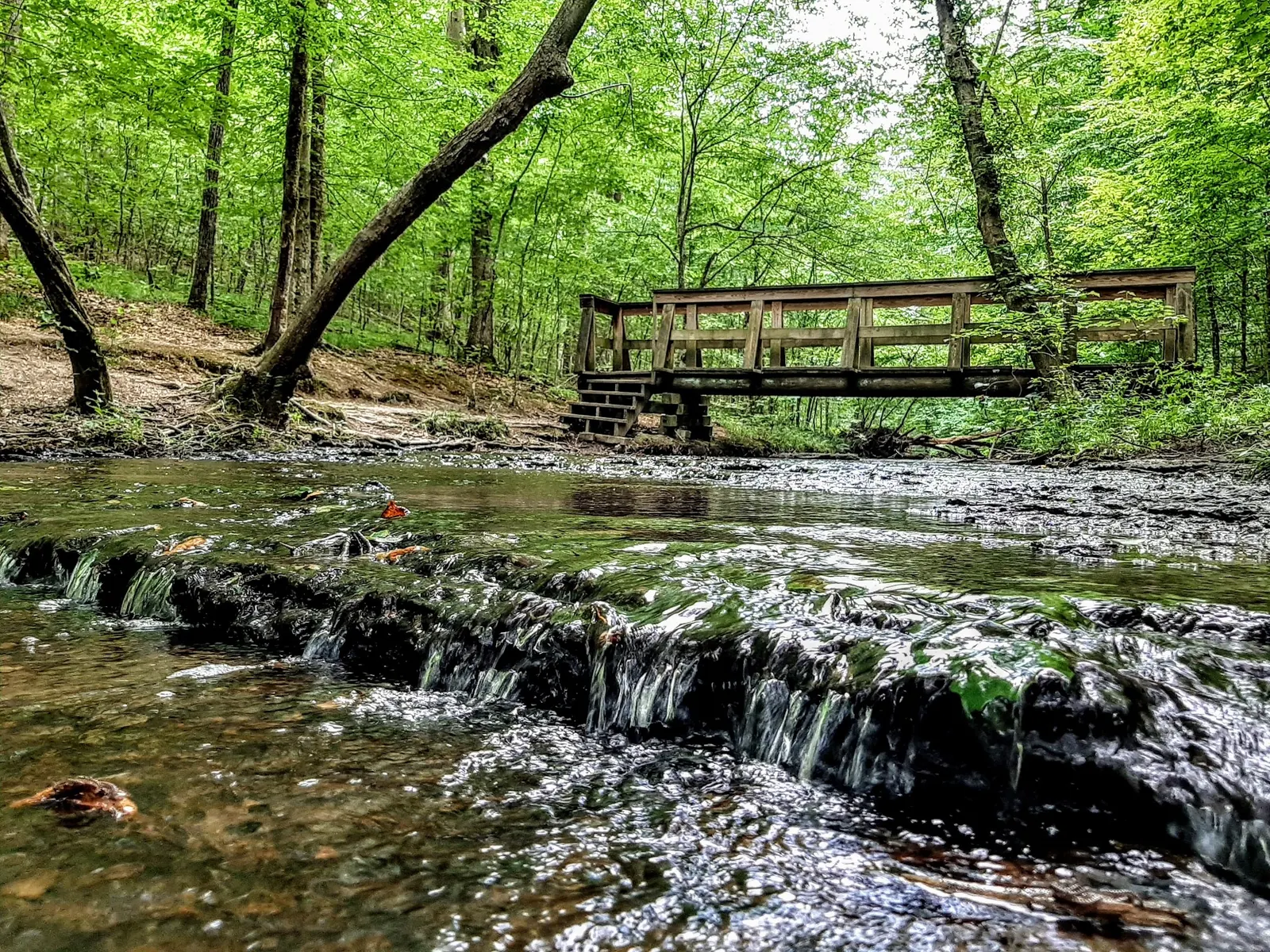
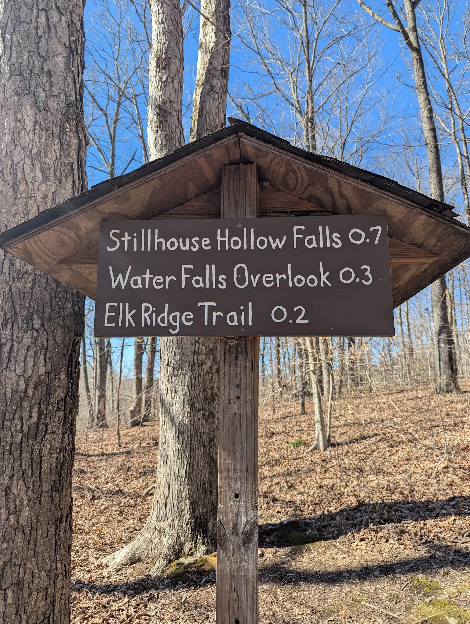
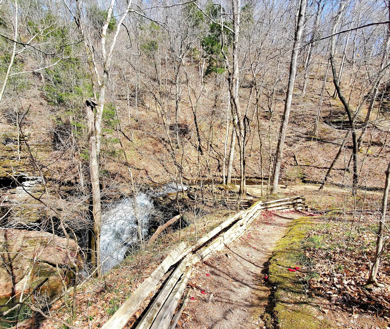
This is a desk-researched listing. A record update or map check does not confirm current swimming permission or water conditions.
Found an error? Send a correction with the location and a source. How we research listings.
This state-owned natural area near Summertown is a waterfall hiking destination. Swimming permission has not been established in this review; public trail access is not permission to enter the water.
Tennessee describes approximately two-thirds of a mile along the trail to see the falls. Allow for the return walk. The small parking lot sets the site's capacity: if it is full, do not park outside designated spaces to enter.
Leashed dogs are permitted; camping, hunting and fishing are not. Check the official page for current access information. Restroom availability and fees are unconfirmed here.
Use the official natural-area directions: from Nashville, take I-65 exit 53 to TN-396 west, then US-31 south to US-412/43 and continue on US-43. Follow signs to the designated lot. Consult the official page before departure rather than relying on historical swimming directions.
Extremely limited designated parking. A full lot means the natural area is at capacity. Do not park elsewhere to enter.
Public hiking access is confirmed. Swimming permission, fees and restroom availability are not confirmed by this review.
Confirm the entrance, parking arrangements, and legal access with the land manager. A map pin does not establish a public right of access. Follow posted routes and never block gates or driveways.
Current swimming permission has not been independently confirmed for this listing. Check official rules, fees, hours, and closures before visiting. Public park access does not necessarily include permission to swim. Respect private property and posted restrictions.
Water conditions can change quickly. This listing does not provide a current safety or water-quality assessment. Check official alerts and avoid entering water when conditions or permission are uncertain.
Nearby places from saved public map data, not necessarily facilities at the swimming spot. Confirm access, hours, fees, and amenities with the operator before you drive.
Map data retrieved 2026-06-15
Trailhead
Tennessee 38474
Free parking lot
8716 Lawrenceburg Hwy, Mt Pleasant, TN 38474
Visitor center
302 W 7th St, Columbia, TN 38401
Tourist information center
713 N Main St, Columbia, TN 38401
Campground
1792 Bear Creek Pike, Columbia, TN 38401
Current fees have not been confirmed for Stillhouse Hollow Falls. Check with the land manager before visiting.
Current swimming permission has not been independently confirmed for Stillhouse Hollow Falls. Public park access does not necessarily include permission to swim. Check with the land manager and follow posted restrictions.
Plan a waterfall hike at Stillhouse Hollow Falls near Summertown, Tennessee. Check trail distance, limited parking and official access information.
Seasonal planning notes: Consider non-peak visiting times because parking is limited. Check current access information before departure. Water levels, clarity, and temperature vary with recent weather. Check current conditions before going, especially after rain or snowmelt.
Reported facilities at Stillhouse Hollow Falls include: Trail and limited designated parking. Restroom availability is unconfirmed. Amenities can change - contact the managing agency or check recent visitor reports to confirm current availability.
Not permitted
Designated a state natural area in 2006, it reflects Tennessee’s commitment to preserving its unique geological and ecological heritage.
Waterfall views from designated routes
Visitors should adhere to Leave No Trace principles, avoid disturbing wildlife, and pack out all trash to protect this well-preserved environment.
Browse every listed natural swimming spot in Tennessee.
Compare nearby options around Nashville before you choose a route.
Find similar waterfalls destinations across the directory.
See under-the-radar places and local favorites in the same state.
Compare easier-access destinations and safer planning options.
Explore waterfall-focused swimming destinations in Tennessee.
Safety & Access Notice
This information is for general planning only and may be incomplete, outdated, or inaccurate. Access rules, closures, water levels, currents, hazards, and legal restrictions can change at any time. Always verify current rules with the land manager or official source before visiting.
You are responsible for your own safety and for following all posted signs, laws, and local regulations. Read the full disclaimer.
Not permitted
Loading weather data…
Safety & Access Notice
This information is for general planning only and may be incomplete, outdated, or inaccurate. Access rules, closures, water levels, currents, hazards, and legal restrictions can change at any time. Always verify current rules with the land manager or official source before visiting.
You are responsible for your own safety and for following all posted signs, laws, and local regulations. Read the full disclaimer.
Joshua Havens created Hidden Swimming Holes to make it easier for people to find — and safely visit — natural freshwater swimming destinations across the United States. He researches access conditions, water quality resources, and land management rules so you don't have to start from scratch. He holds a strong belief that good outdoor recreation information should be accurate, honest about its limitations, and freely available.
Discover other amazing natural swimming destinations across America