Fayette Rd parking
Parking lot
4.7 (79)
208 Fayette Station Rd, Edmond, WV 25837
Restroom

Background: generated illustration, not a photograph of this location.
Explore Meadow River East with historical Bubbie Hole context, access uncertainties, separate whitewater guidance and four labeled regional river photos.
Swimming restriction
Confirm present permission and posted restrictions at the actual location; a paddling guide is not swimming authorization.
Location
A closer look
Photos show past visits, not current water levels or swimming conditions. Select a photo to view it larger.
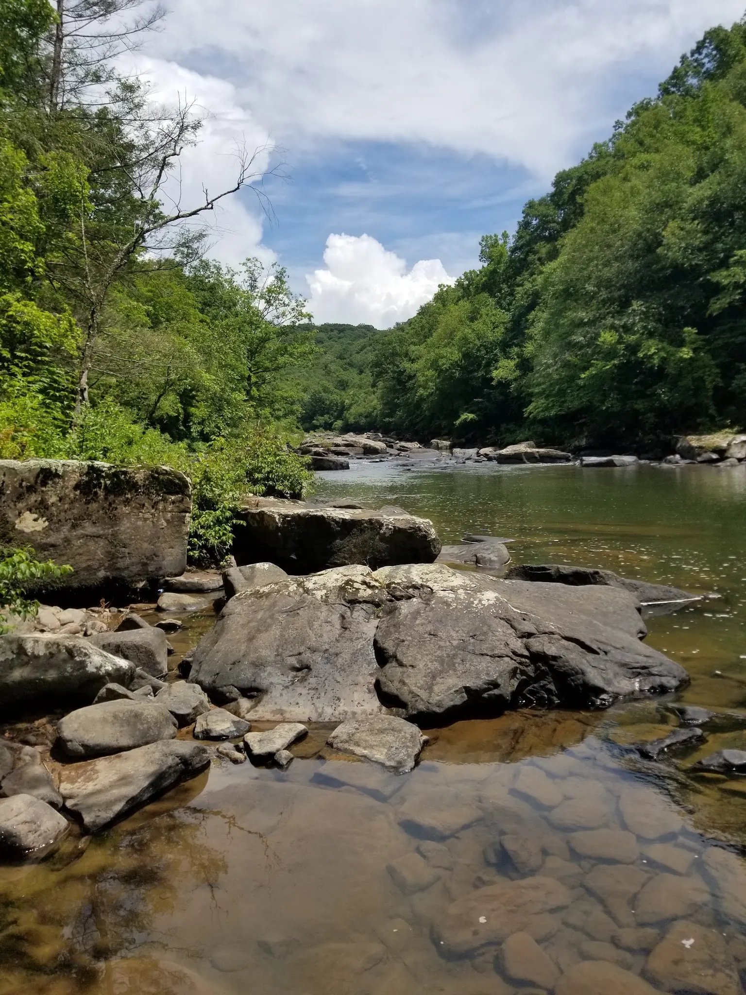
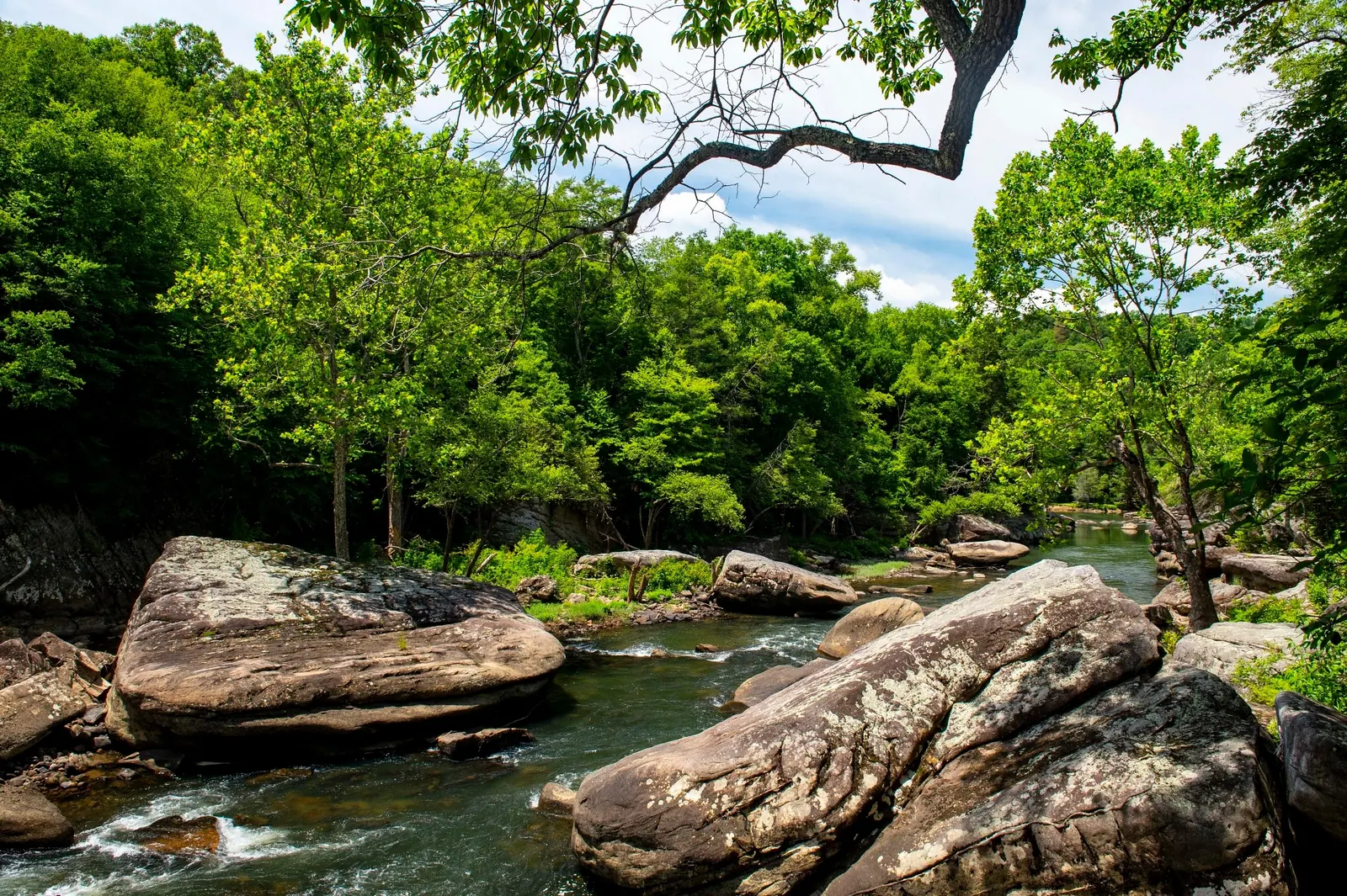
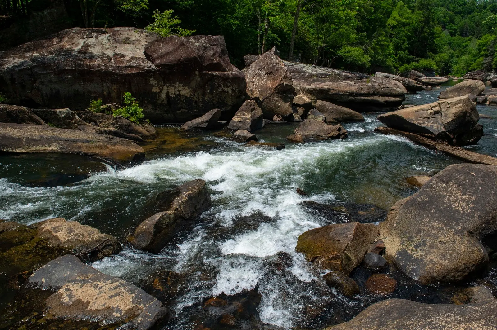
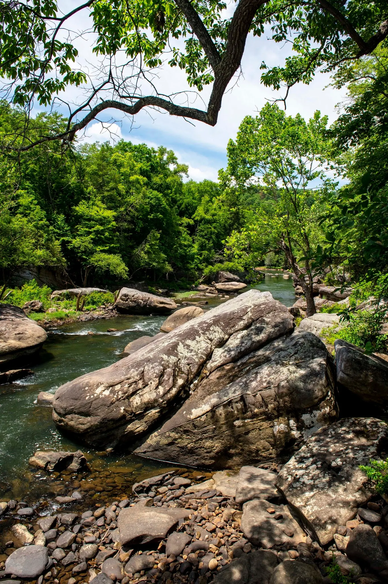
This is a desk-researched listing. A record update or map check does not confirm current swimming permission or water conditions.
Found an error? Send a correction with the location and a source. How we research listings.
This listing preserves historical Bubbie Hole context associated with WV-41 south of Summersville. The WVU swimming guide is a reference to consult, not proof of present access. Confirm the actual authorized entrance and legal parking locally before travel. No verified swimming-entry pin is published.
The WVU Middle Meadow paddling guide describes a five-mile Class III-IV section between the WV-41 and US-19 bridges, including undercut rocks and potential pinning hazards. Its bridge access points are for that paddling route, not verified Bubbie Hole coordinates. The guide's displayed update date is July 2, 2020, so it is not a current-condition report. Do not enter rapids to search for a swimming pool, jump or dive. Low water readings do not establish safe depth or water quality.
Conflicting historical Underwood Street and WV-41 turn-by-turn directions remain withdrawn. Do not treat informal tracks, painted rocks or a roadside pull-off as permission to cross property or park. No current site-specific fee, restroom inventory or overnight permission has been confirmed. Plan drinking water and facilities separately and follow current signs.
The reviewed Meadow River collection shows wooded banks, rock shelves, large boulders and whitewater. These are explicitly labeled regional photographs, not independently located Bubbie Hole views. River-wide photo coordinates do not identify a swimming entrance. Images do not establish present access, depth or river conditions.
Historical Bubbie Hole context refers to WV-41 south of Summersville. Confirm the specific authorized entrance and legal parking locally before travel. Conflicting old Underwood Street and WV-41 turn-by-turn routes remain withdrawn. Paddling bridge coordinates and river-wide photo coordinates are not a swimming entrance.
No verified swimming-entry pin is published. Historical references do not establish current permission or legal roadside parking.
Confirm the entrance, parking arrangements, and legal access with the land manager. A map pin does not establish a public right of access. Follow posted routes and never block gates or driveways.
Confirm present permission and posted restrictions at the actual location; a paddling guide is not swimming authorization. Public park access does not necessarily include permission to swim. Respect private property and posted restrictions.
Water conditions can change quickly. This listing does not provide a current safety or water-quality assessment. Check official alerts and avoid entering water when conditions or permission are uncertain.
Bring sturdy water shoes to protect your feet on rocks and slippery surfaces. A waterproof dry bag keeps your phone, keys, and valuables safe. Pack a quick-dry towel, sun protection, and drinking water - never drink from the natural water source.
Nearby places from saved public map data, not necessarily facilities at the swimming spot. Confirm access, hours, fees, and amenities with the operator before you drive.
Map data retrieved 2026-06-15
Parking lot
208 Fayette Station Rd, Edmond, WV 25837
Parking lot
County Rte 9-8, Fayetteville, WV 25840
Parking lot
Arrowhead Rd, Fayetteville, WV 25840
Hiking area
Endless Wall Trail, Edmond, WV 25837
Well-used, 2.4-mile trail best known for sweeping river gorge vistas from Diamond Point overlook.
Hiking area
Parking lot, County Rte 9-8, Fayetteville, WV 25840
Hiking area
Kaymoor Rd, Fayetteville, WV 25840
Campground
843 Fayette Station Rd, Fayetteville, WV 25840
Campground
448 Laurel Creek Rd, Fayetteville, WV 25840
Historical context associates it with WV-41 south of Summersville. Confirm the specific authorized entrance and legal parking locally; this listing has no verified swimming-entry pin.
No. They identify bridge access for a separate paddling route, not verified Bubbie Hole access.
The conflicting historical turn-by-turn approaches remain withdrawn pending site-specific verification.
No. Gauge readings do not establish safe depth, water quality, permission or a suitable entrance. Do not jump or enter rapids.
No. They show regional Meadow River scenery, not a verified swimming entrance or present conditions.
The Meadow River supports multiple forms of outdoor recreation that require different access and skills.
Four regional views show wooded banks, rock shelves, boulders and rapids; none identifies Bubbie Hole or a permitted entrance.
Pack out waste and respect private-property boundaries.
Browse every listed natural swimming spot in West Virginia.
Find similar river destinations across the directory.
See under-the-radar places and local favorites in the same state.
Compare easier-access destinations and safer planning options.
Use this safety guide before entering any natural water.
Safety & Access Notice
This information is for general planning only and may be incomplete, outdated, or inaccurate. Access rules, closures, water levels, currents, hazards, and legal restrictions can change at any time. Always verify current rules with the land manager or official source before visiting.
You are responsible for your own safety and for following all posted signs, laws, and local regulations. Read the full disclaimer.
No overnight permission confirmed for this entry.
Loading weather data…
Safety & Access Notice
This information is for general planning only and may be incomplete, outdated, or inaccurate. Access rules, closures, water levels, currents, hazards, and legal restrictions can change at any time. Always verify current rules with the land manager or official source before visiting.
You are responsible for your own safety and for following all posted signs, laws, and local regulations. Read the full disclaimer.
Joshua Havens created Hidden Swimming Holes to make it easier for people to find — and safely visit — natural freshwater swimming destinations across the United States. He researches access conditions, water quality resources, and land management rules so you don't have to start from scratch. He holds a strong belief that good outdoor recreation information should be accurate, honest about its limitations, and freely available.
Discover other amazing natural swimming destinations across America