Curecanti National Recreation Area
National reserve
4.8 (1637)
Gunnison, CO
Network of 3 alpine reservoirs used for boating, canoeing, fishing, birding, camping & hiking.
Picnic tablesPublic restroom

Background: generated illustration, not a photograph of this location.
Plan Blue Mesa swimming at Bay of Chickens, Dry Creek and Old Highway 50 beach, with NPS access guidance, cold-water cautions and separate camping fees.
Swimming restriction
Curecanti has no designated swimming areas. NPS identifies three Blue Mesa shoreline options, subject to conditions and closures. Water stays cold in summer; watch for boats and algae advisories. Do not treat no-wake zones as boat-free.
Official sources checked:
Location
A closer look
Photos show past visits, not current water levels or swimming conditions. Select a photo to view it larger.
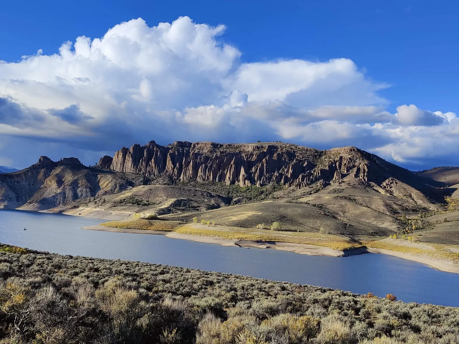
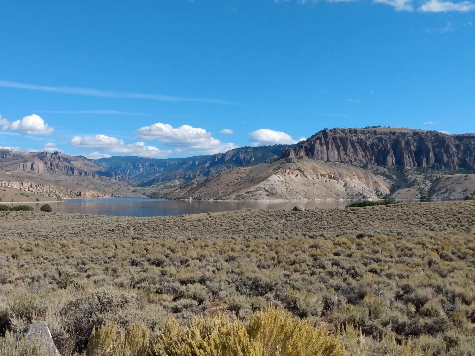
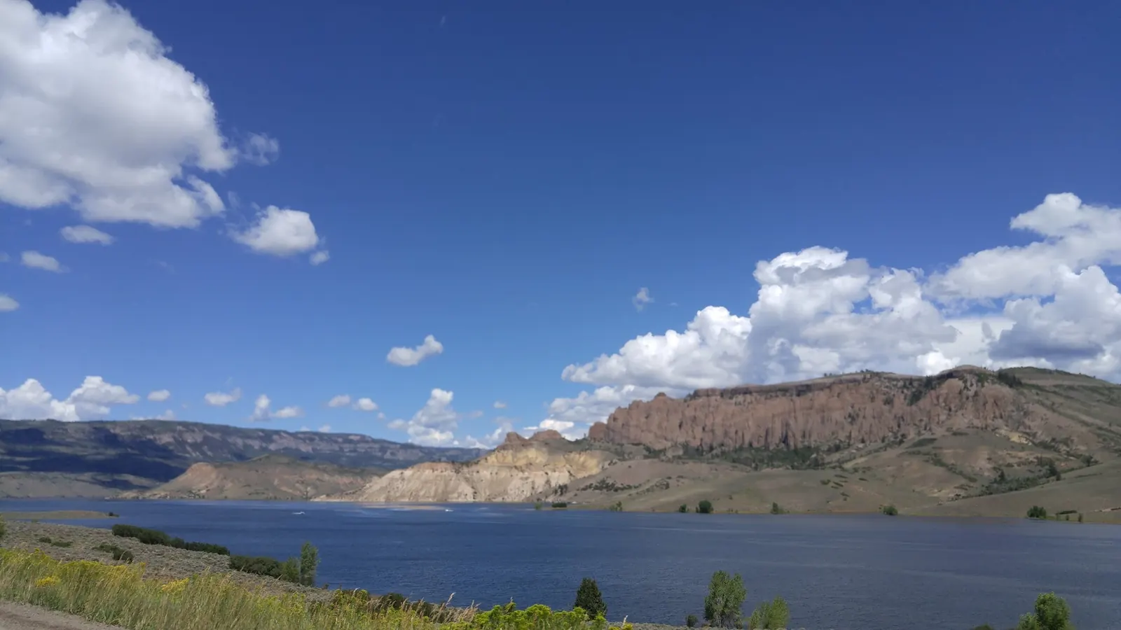
This is a desk-researched listing. A record update or map check does not confirm current swimming permission or water conditions.
Found an error? Send a correction with the location and a source. How we research listings.
Curecanti is a large recreation area, not one swimming hole. NPS identifies Bay of Chickens, Dry Creek and Old Highway 50 beach as Blue Mesa options, while noting that the park has no designated swimming areas. Use the official swimming guidance to plan your visit.
Elk Creek is the reference point: Bay of Chickens lies 1.2 miles west, Dry Creek 1 mile east and Old Highway 50 beach about 100 yards west. These are orientation distances, not turn-by-turn parking instructions. Use the park map and brochure, signed access and current notices. A reservoir photograph does not establish a usable swimming entrance.
Much of the shoreline is steep or rocky. Expect cold water even during summer, watch for motorized boats and check algae advisories. No-wake areas reduce boat speed, not boat presence. Do not cliff-jump. Check current park conditions rather than treating an old photograph as a water-level report.
Curecanti has developed picnic areas and campgrounds, so the former blanket claim of no facilities was misleading. Toilet and drinking-water availability varies by location and season. Bring your own water and confirm your chosen site before departure.
There is no park entrance fee, but camping and motorized boating are charged separately. Use the official fees and campground links to choose an overnight location. A free day visit does not include a campsite.
Blue Mesa, Morrow Point and Crystal are separate reservoirs within Curecanti. Do not apply Blue Mesa beach directions to a canyon overlook or a dam. Scenic stops can complement the trip without being swimming access points.
Use the official Curecanti map to locate Elk Creek on US-50. NPS places Bay of Chickens 1.2 miles west of Elk Creek, Dry Creek 1 mile east, and Old Highway 50 beach about 100 yards west. Follow signed access and current notices, not an arbitrary highway shoulder or the former town-center map pin.
Curecanti has no designated swimming areas. NPS identifies three Blue Mesa shoreline options, subject to conditions and closures. Water stays cold in summer; watch for boats and algae advisories. Do not treat no-wake zones as boat-free.
Confirm the entrance, parking arrangements, and legal access with the land manager. A map pin does not establish a public right of access. Follow posted routes and never block gates or driveways.
Curecanti has no designated swimming areas. NPS identifies three Blue Mesa shoreline options, subject to conditions and closures. Water stays cold in summer; watch for boats and algae advisories. Do not treat no-wake zones as boat-free. Public park access does not necessarily include permission to swim. Respect private property and posted restrictions.
Water conditions can change quickly. This listing does not provide a current safety or water-quality assessment. Check official alerts and avoid entering water when conditions or permission are uncertain.
Bring sturdy water shoes to protect your feet on rocks and slippery surfaces. A waterproof dry bag keeps your phone, keys, and valuables safe. Pack a quick-dry towel, sun protection, and drinking water - never drink from the natural water source.
Nearby places from saved public map data, not necessarily facilities at the swimming spot. Confirm access, hours, fees, and amenities with the operator before you drive.
Map data retrieved 2026-06-15
National reserve
Gunnison, CO
Network of 3 alpine reservoirs used for boating, canoeing, fishing, birding, camping & hiking.
Hiking area
Morrow Point Dam Rd, Cimarron, CO 81220
Scenic spot
Curecanti Creek Trail, Gunnison, CO 81230
Campground
Cimarron, CO 81220
RV park
348 US-50, Cimarron, CO 81220
Rustic camping-style resort with furnished housekeeping cabins with full kitchens.
Campground
84100 US-50, Cimarron, CO 81220
Public bathroom
Silverton, CO 81433
Visitor center
Cimarron, CO 81220
No. Consult the NPS swimming page for its suggested Blue Mesa locations and current restrictions.
Park entry is free. Campsites and motorized boat permits have separate charges.
No. Choose a specific shoreline destination on the park map. A scenic overlook, dam or photograph is not evidence of swimming access.
The NPS brochure describes the area's long Indigenous history and the later dams that transformed the Gunnison River into three reservoirs.
Capture sunrise or sunset over the reservoir. Dramatic mesa formations and vibrant fall foliage offer striking compositions.
Follow Leave No Trace principles to protect the area’s ecosystems. Avoid disturbing wildlife, stay on designated trails, and pack out all trash.
Browse every listed natural swimming spot in Colorado.
Find similar lakes destinations across the directory.
See under-the-radar places and local favorites in the same state.
Compare easier-access destinations and safer planning options.
Use this safety guide before entering any natural water.
Safety & Access Notice
This information is for general planning only and may be incomplete, outdated, or inaccurate. Access rules, closures, water levels, currents, hazards, and legal restrictions can change at any time. Always verify current rules with the land manager or official source before visiting.
You are responsible for your own safety and for following all posted signs, laws, and local regulations. Read the full disclaimer.
Choose a specific NPS campground and check its season, reservation method and fees. Camping is not included merely by visiting the shoreline.
Loading weather data…
Safety & Access Notice
This information is for general planning only and may be incomplete, outdated, or inaccurate. Access rules, closures, water levels, currents, hazards, and legal restrictions can change at any time. Always verify current rules with the land manager or official source before visiting.
You are responsible for your own safety and for following all posted signs, laws, and local regulations. Read the full disclaimer.
Joshua Havens created Hidden Swimming Holes to make it easier for people to find — and safely visit — natural freshwater swimming destinations across the United States. He researches access conditions, water quality resources, and land management rules so you don't have to start from scratch. He holds a strong belief that good outdoor recreation information should be accurate, honest about its limitations, and freely available.
Discover other amazing natural swimming destinations across America