Explore swimming-hole listings in Massachusetts and plan beyond the familiar stops.
"Hidden gem" is a browsing theme, not a promise of solitude, clear water or public access.
7
Planning candidates
7
Total in Massachusetts
0
No entry fee listed
Use this collection to research places in Massachusetts, then check each listing's sources and access notes.
Descriptive detail is not evidence that a site is uncrowded or that its water is suitable for swimming.
By Hidden Swimming Holes Team-
How We Selected These Hidden Gems
This shortlist uses discoverable records, whether free or fee-based. Records with a dated rules-source field come first, followed by records with source links, then a stable alphabetical order. Read the fee notes for each place; the separate budget guide focuses on records reporting no entry fee.
Description length, legacy confidence labels and photo counts do not affect placement. A recorded source date is not a current water-quality or access clearance.
We show up to ten candidates, not a ranking of safety or seclusion.
Confirm permission and any permit or reservation requirements
Check the actual route and parking location with the land manager
Read current closure and water-quality notices
Keep an alternative plan if the site is closed or crowded
Pro Tip
Download offline maps and save each stop before you drive - signal can vanish when you're closest to the good stuff.
Timing and Advisories in Massachusetts
Check current conditions and local advisories for the exact waterbody before travelling.
Do not assume water is suitable simply because a day or two has passed since rain, or because it looks clear.
Follow posted closures and the land manager's guidance instead of a fixed waiting period.
See the CDC's natural-water swimming guidance for advisory checks, especially after heavy rain.
Access, Parking, and Navigation
Save the official entrance, permitted parking area and return route before leaving. A map pin can describe a broad
recreation area rather than the route to the water; read the pin note and approach details in each full listing.
Ask the operator about reservations, road access and the actual route surface and distance. Do not treat a photograph,
a turnout or a path worn by other visitors as permission to enter. Never block gates or use unauthorized parking.
Respect the Place
If authorized parking is full, use a separately checked backup plan. Do not create new paths or park in vegetation
to reach the water. A backup destination needs its own access and condition checks.
Pack for the Confirmed Route
Footwear appropriate to the confirmed approach, plus a towel and dry layers
Sun protection, drinking water and food matched to your trip
Saved maps, operator contacts and a way to carry out your waste
Any required permit or reservation confirmation; check equipment rules with the operator
Before You Go
Check the named destination's current rules and advisories before deciding whether to swim.
A quiet location or calm-looking surface does not establish suitable conditions. If permission or conditions
remain uncertain, keep the outing on land instead of looking for an unverified water entry.
DCR issued an October 20, 2026 advisory restricting access to the Crow Hill Pond waterfront immediately through May 26, 2027 for trail accessibility improvements. Hiking detours will be signed. Check with DCR before planning waterfront access; do not bypass the work area. This notice does not close the entire forest…
Listing Planning Notes
Crow Hill-only swimming rule
Beach and headquarters distinguished
Seasonal vehicle-fee planning
Reviewed forest and beach-setting photos
Water Body:Crow Hill Pond Designated Swimming Destination Within Leominster State Forest
Recorded Timing:Indexed beach hours are 9 a.m. to 6 p.m. during the listed season; other parking lots have different hours. Check current notices.
Fee Notes:Indexed DCR page lists seasonal vehicle parking of $8 for Massachusetts plates and $30 for other plates. Recheck dates, rates and pass eligibility before travel.
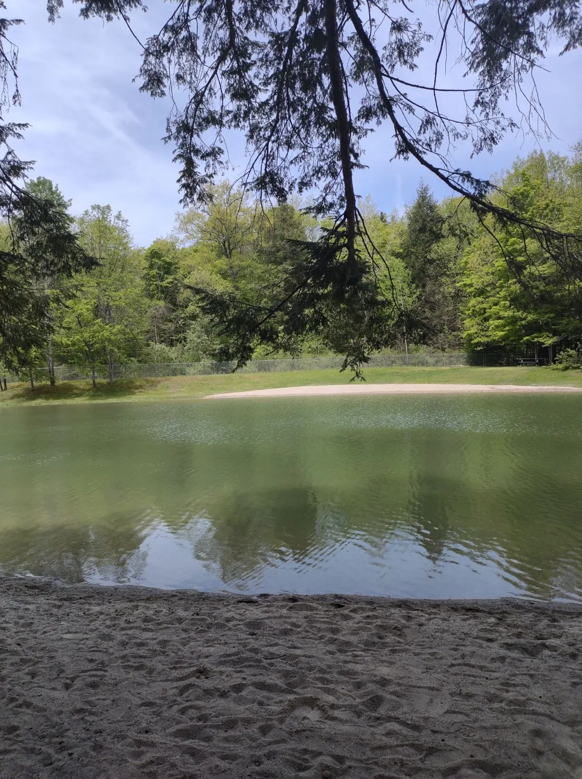
Margaret Lindley Park is operated by Williamstown's Conservation Commission and the town. Its park page identifies a pond with an artificial beach fed by Hemlock Brook. Swimming runs Memorial Day through Labor Day, dawn to dusk. October is outside the published swim season; year-round hiking is a separate activity.…
Listing Planning Notes
Town-operated seasonal swimming pond
Picnic lawn, tables and grills
Year-round woodland trails beside Hemlock Brook
Water Body:Swimming Pond Fed by Hemlock Brook
Recorded Timing:For swimming, choose a date within Memorial Day-Labor Day and check current test notices. For a trail or picnic visit, follow dawn-to-dusk guidance and local restrictions.
Fee Notes:A current admission charge is not published on the reviewed town park pages. Confirm any group-use or reservation requirements with the town.
Mohawk State Forest Swimming Holes in Western Massachusetts
Greenfield, Massachusetts
DCR inland designated swimming area within a state forest
Mohawk Trail State Forest in Charlemont has a DCR-designated swimming area at Cold River Pool. The legacy two-place URL is preserved, but no original directions survive in this record and two current independent bathing entrances are not established. Use the manager's named swim area and camping-area map. DCR's cabin…
Listing Planning Notes
Clear waters
Scenic forest trails
Diverse wildlife
Historical towns nearby
Water Body:Designated Cold River Pool
Recorded Timing:Cold River Pool's published 2026 swimming season May 23 to September 7, unguarded. General forest day use sunrise to sunset; check the next waterfront schedule and current notices.
Fee Notes:Manager lists parking available without a current daily amount here. Tent camping $17 per night Massachusetts residents, $54 nonresidents; group and cabin rates differ and require reservations.
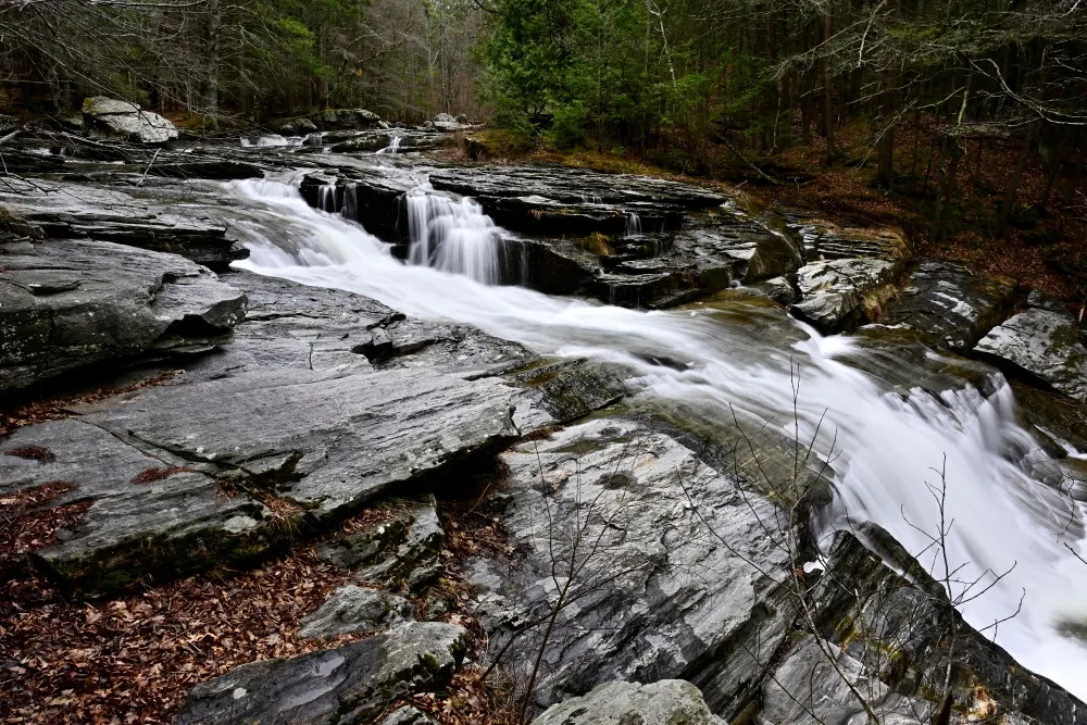
Berkshires Outside identifies this town park as restricted to New Marlborough residents and their guests, with permission needed for other visitors. A saved park notice photograph corroborates the resident-and-guest wording. This is not an unrestricted public swimming recommendation. The falls are on the Umpachene…
Listing Planning Notes
Resident-and-guest access explained
Correct Umpachene and Konkapot river identity
Town commission contact
Reviewed falls and notice photos
Water Body:Umpachene River Falls near Its Meeting with the Konkapot River, Not the Mill River
Recorded Timing:Confirm current day-use and parking hours; the photographed sunset notice is historical evidence.
Fee Notes:Regional profile lists free use for eligible visitors; free does not mean unrestricted public access. Confirm current arrangements.
AMC's shelter list places the junction 1.6 miles south of US 20, then adds a half-mile side trail. Plan with a current map, not the former 1.7-mile total or the unverified historical town pin. The gallery junction sign helps explain the distinction without guaranteeing present sign condition. The AMC visitor FAQ…
Listing Planning Notes
Corrected cabin side-trail approach
Seasonal services explained
Designated overnight sites
Separate reservation viewpoint clarified
Water Body:Upper Goose Pond, Distinct From Lower Goose Pond
Recorded Timing:AMC schedules cabin-closing work for October 11, 2026, including dock removal and canoe storage. That is a planned event, not evidence the work is already complete; confirm arrangements before relying on those facilities.
Fee Notes:AMC's visitor FAQ lists no cabin or campsite fee, with voluntary donations welcome. This does not establish every parking area's charges or guarantee an overnight space.
DCR closes Woods Path and Universal Access Trail from October 19 through November 12, 2026 for accessibility improvements, according to its October 16 advisory. The original Thoreau house site remains reachable by Pond Path. This is a trail-specific notice, not a whole-pond swimming closure or a guarantee of a…
Listing Planning Notes
Parking and capacity planning
Beach versus open-water rules
Accessible-services planning
Pond, woodland and Thoreau heritage photos
Water Body:Walden Pond in Concord; Managed Beach and Separately Regulated Open-Water Swimming
Recorded Timing:Allow for capacity restrictions and changing daylight-based hours. Confirm today's park and open-water schedules separately.
Fee Notes:Indexed DCR parking information lists year-round daily vehicle fees of $8 for Massachusetts registration and $30 for out-of-state registration. Recheck current rates and waiver eligibility. Payment is by the DCR YODEL portal or credit-card machines; cash is not accepted.
The indexed 2015 DCR resource-management plan describes swimming and an unguarded beach on Hawksnest Pond's south shore. That is historical permission context, not a live opening report. Confirm current signs, restrictions and pond-specific water conditions before swimming; do not extend the permission to every pond…
Listing Planning Notes
Wooded Cape Cod pond setting
Separate pond and boat-launch approaches
Unguarded-water planning
Reviewed shoreline and trail photos
Water Body:Hawksnest Pond Within Hawksnest State Park
Recorded Timing:Confirm current park hours and legal parking before travel; no exact operating schedule verified.
Fee Notes:Current admission and parking charges not verified; check DCR and posted notices.