Tanyard Creek Nature Trail
Park
04.8 (2941)
Waterfall Trl, Bella Vista, AR 72715
Cycling lanesPicnic tablesPublic restroom
Plan a Tanyard Creek waterfall walk in Bella Vista with official trail directions and pedestrian rules. Swimming permission at the falls remains unverified.
Status summarizes our reviewed record, not today's opening or safety. Check current rules, swimming boundaries and notices before visiting.
Location
A closer look
Photos show past visits, not current water levels or swimming conditions. Select a photo to view it larger.
This is a desk-researched listing. A record update or map check does not confirm current swimming permission or water conditions.
Found an error? Send a correction with the location and a source. How we research listings.
The nature trail is a visitor destination, but public hiking access is not proof of swimming permission at the falls. The official pages reviewed here do not clearly establish creek swimming authorization. This listing remains available for trip planning but is withheld from swimming recommendations pending confirmation.
The POA trail page describes a roughly two-mile network, including a relatively level 0.3-mile paved loop and a moderately hilly natural-surface section. A paved segment does not make the whole waterfall approach wheelchair accessible.
From Town Center, follow Arkansas 340/Lancashire Boulevard west to the trail on the left. Use current signs for parking and the walk. The old street-name instructions and legacy pin have not been verified as the exact entrance.
Bella Vista visitor guidance lists free public trail use and specifies pedestrians only at Tanyard Creek. Lake and other private-amenity access can require separate privileges. Do not apply lake permissions to the falls, or interpret a hiking invitation as unlimited water access.
The earlier description promoted shallow water for young children and deeper pockets for swimmers. Those assurances were not supported by the official review. Enjoy the waterfall from permitted walking routes and confirm any intended water activity with the manager.
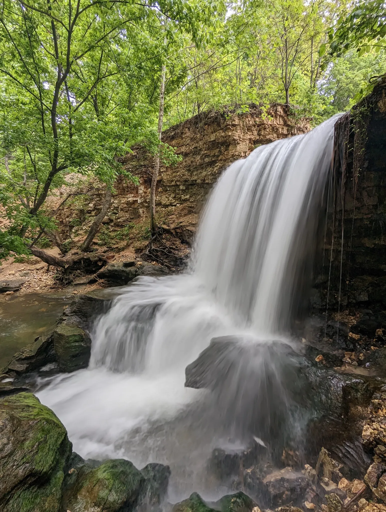
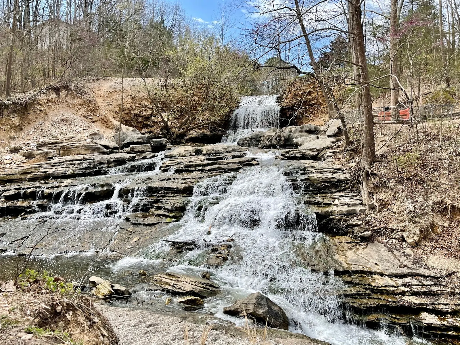
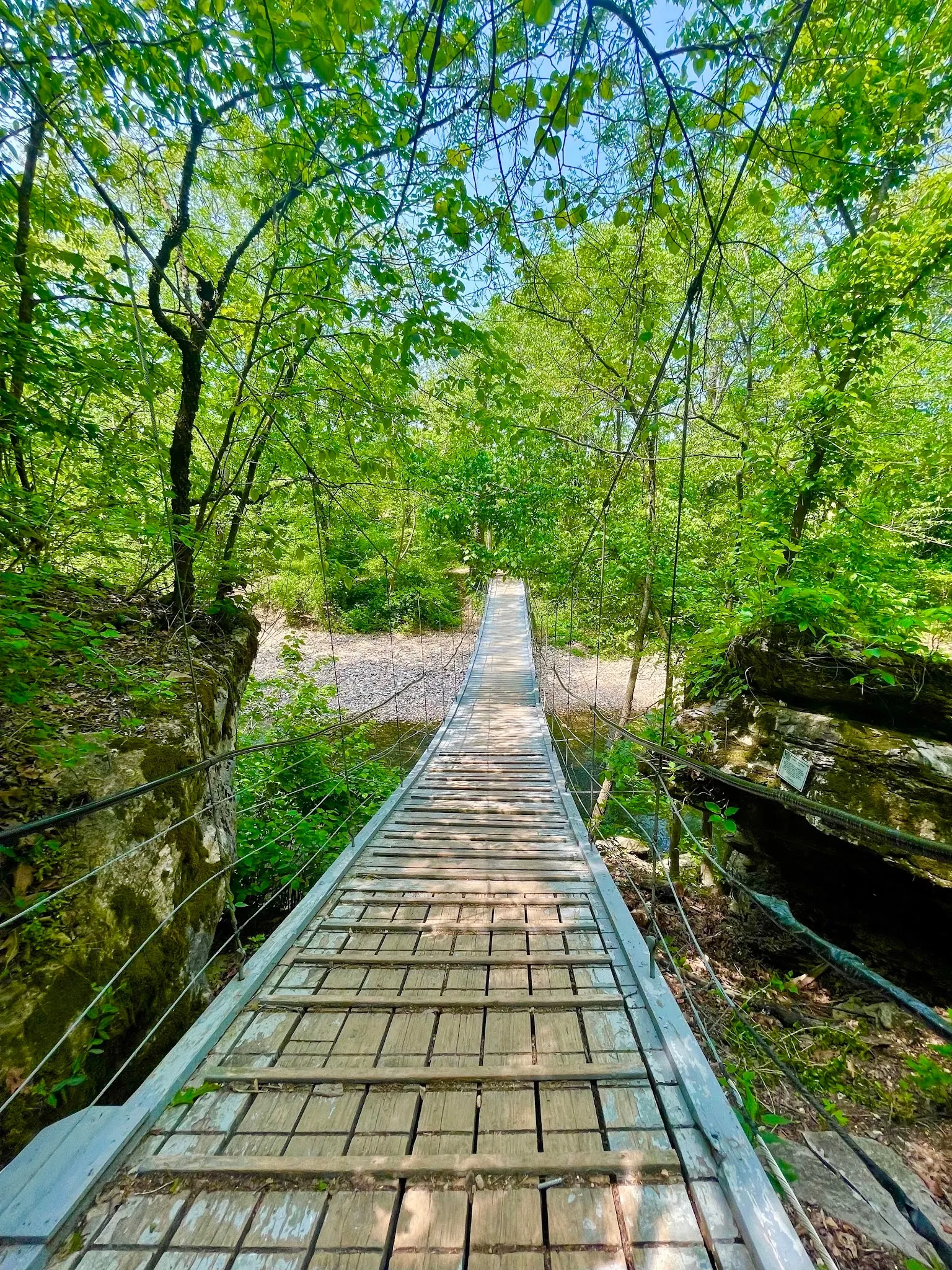
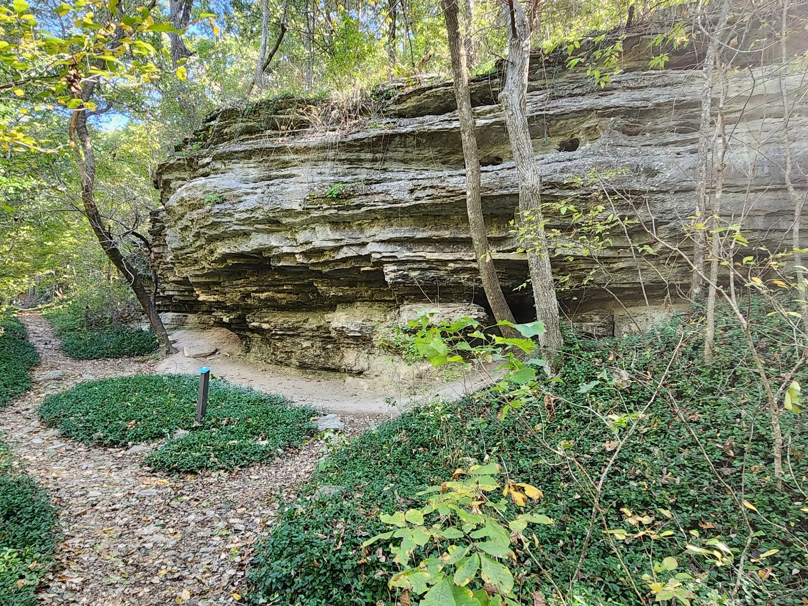
The historical gallery pairs a close waterfall view with a wider cascade scene, the suspension footbridge and a rock-lined walking path. These are views from the named trail collection, not a current route inspection. The smooth waterfall image uses long exposure, so it cannot show present flow or depth. Check current trail notices and use permitted paths; the photographs do not establish swimming permission, step-free water access or today's bridge condition.
Use Tanyard Creek Nature Trail in Bella Vista. From Town Center, the manager directs visitors west on Arkansas 340/Lancashire Boulevard to the trail on the left, less than a mile away. Follow current parking and trail signs. Do not rely on the old directions that equated Westford Lane with Nature Trail Lane; the legacy pin is not a verified entrance.
Free public hiking does not establish permission to swim at the falls. Bella Vista's lake and private-amenity rules are separate from trail access. This listing is withheld from swimming recommendations pending confirmation.
Confirm the entrance, parking arrangements, and legal access with the land manager. A map pin does not establish a public right of access. Follow posted routes and never block gates or driveways.
Current swimming permission has not been independently confirmed for this listing. Check official rules, fees, hours, and closures before visiting. Public park access does not necessarily include permission to swim. Respect private property and posted restrictions.
Water conditions can change quickly. This listing does not provide a current safety or water-quality assessment. Check official alerts and avoid entering water when conditions or permission are uncertain.
Nearby places from saved public map data, not necessarily facilities at the swimming spot. Confirm access, hours, fees, and amenities with the operator before you drive.
Map data retrieved 2026-06-15
Park
Waterfall Trl, Bella Vista, AR 72715
Park
700 Blowing Spring Rd, Bella Vista, AR 72714
Visitor center
13750 Visitors Center Dr, Bella Vista, AR 72714
Hiking area
4900 Bella Vista Way, Bentonville, AR 72712
Campground
2003 NW Homestead Ln, Bentonville, AR 72712
Public bathroom
Bentonville, AR 72712
Visitor center
124 SW 2nd St, Bentonville, AR 72712
Public bathroom
Bentonville, AR 72712
No. The reviewed official pages establish trail access but do not clearly establish swimming permission at the falls.
Official Bella Vista visitor guidance specifies that Tanyard Creek is for pedestrians only.
No. The manager distinguishes a short, relatively level paved loop from a moderately hilly natural-surface portion.
No. Lake and private-amenity privileges are separate. Do not infer water-access permission from public hiking access.
Located near Bentonville, a city known for its rich history and connection to Walmart, Tanyard Creek Falls reflects the balance between urban growth and natural preservation.
Reviewed gallery views show the waterfall, woodland footbridge and rock-lined walking trail. Use permitted viewpoints and respect visitors' privacy; photos do not establish current bridge condition or bathing permission.
Tanyard Creek trail is for pedestrians, not bikes. Respect private boundaries and posted rules; carry out litter.
Browse every listed natural swimming spot in Arkansas.
Find similar waterfalls destinations across the directory.
See under-the-radar places and local favorites in the same state.
Compare easier-access destinations and safer planning options.
Explore waterfall-focused swimming destinations in Arkansas.
Use this safety guide before entering any natural water.
Safety & Access Notice
This information is for general planning only and may be incomplete, outdated, or inaccurate. Access rules, closures, water levels, currents, hazards, and legal restrictions can change at any time. Always verify current rules with the land manager or official source before visiting.
You are responsible for your own safety and for following all posted signs, laws, and local regulations. Read the full disclaimer.
No overnight permission is established for the nature trail. Arrange accommodation separately.
Loading weather data…
Safety & Access Notice
This information is for general planning only and may be incomplete, outdated, or inaccurate. Access rules, closures, water levels, currents, hazards, and legal restrictions can change at any time. Always verify current rules with the land manager or official source before visiting.
You are responsible for your own safety and for following all posted signs, laws, and local regulations. Read the full disclaimer.
Joshua Havens created Hidden Swimming Holes to make it easier for people to find — and safely visit — natural freshwater swimming destinations across the United States. He researches access conditions, water quality resources, and land management rules so you don't have to start from scratch. He holds a strong belief that good outdoor recreation information should be accurate, honest about its limitations, and freely available.
Discover other amazing natural swimming destinations across America