Long Pool Recreation Area
Park
3.8 mi
4.7 (473)
Dover, AR 72837
Barbecue grillPicnic tablesPublic restroom

Background: generated illustration, not a photograph of this location.
Visit Long Pool on Big Piney Creek with corrected recreation-area coordinates, day-use fees, first-come camping information and river safety advice.
Location
A closer look
Photos show past visits, not current water levels or swimming conditions. Select a photo to view it larger.
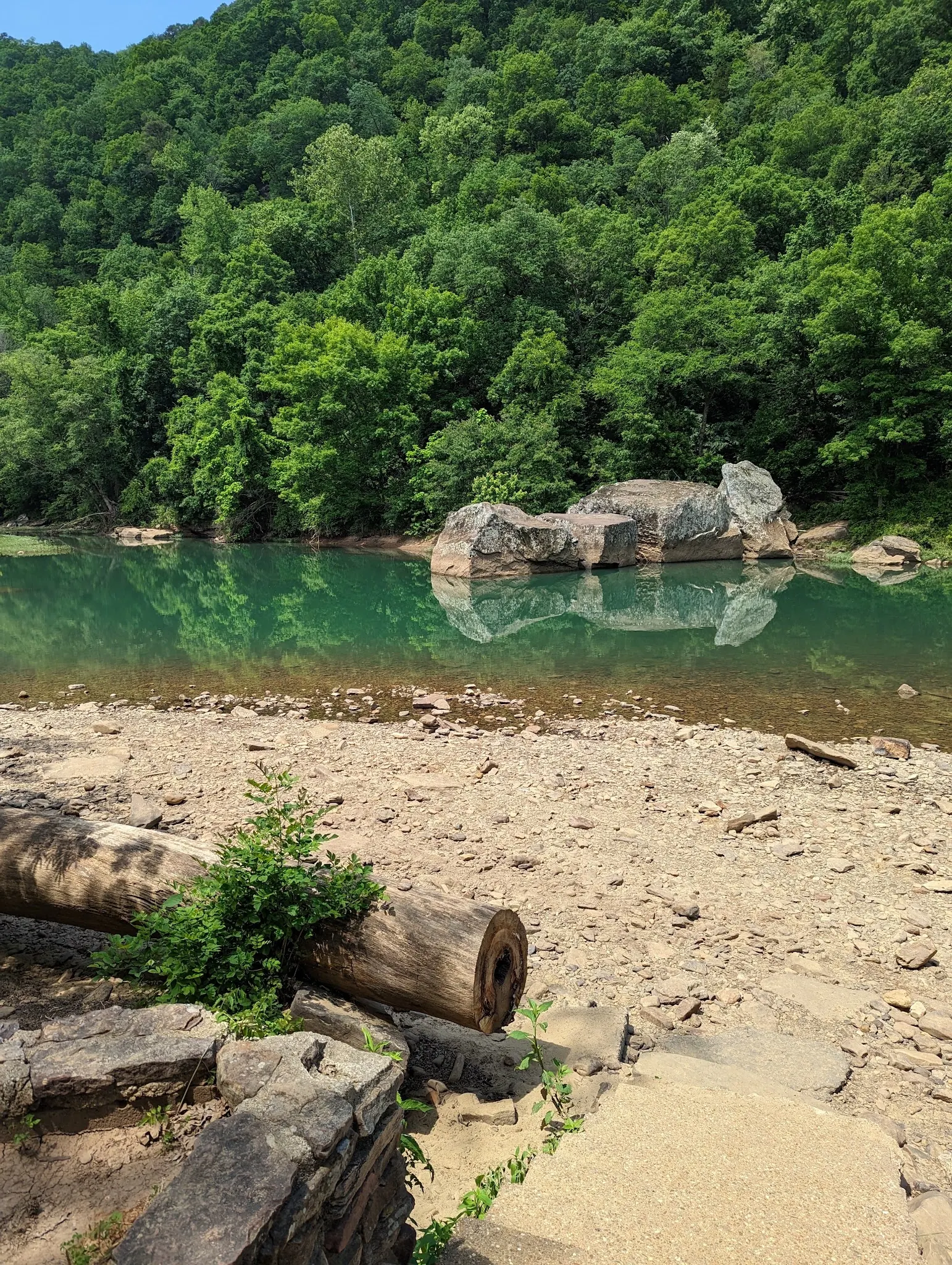
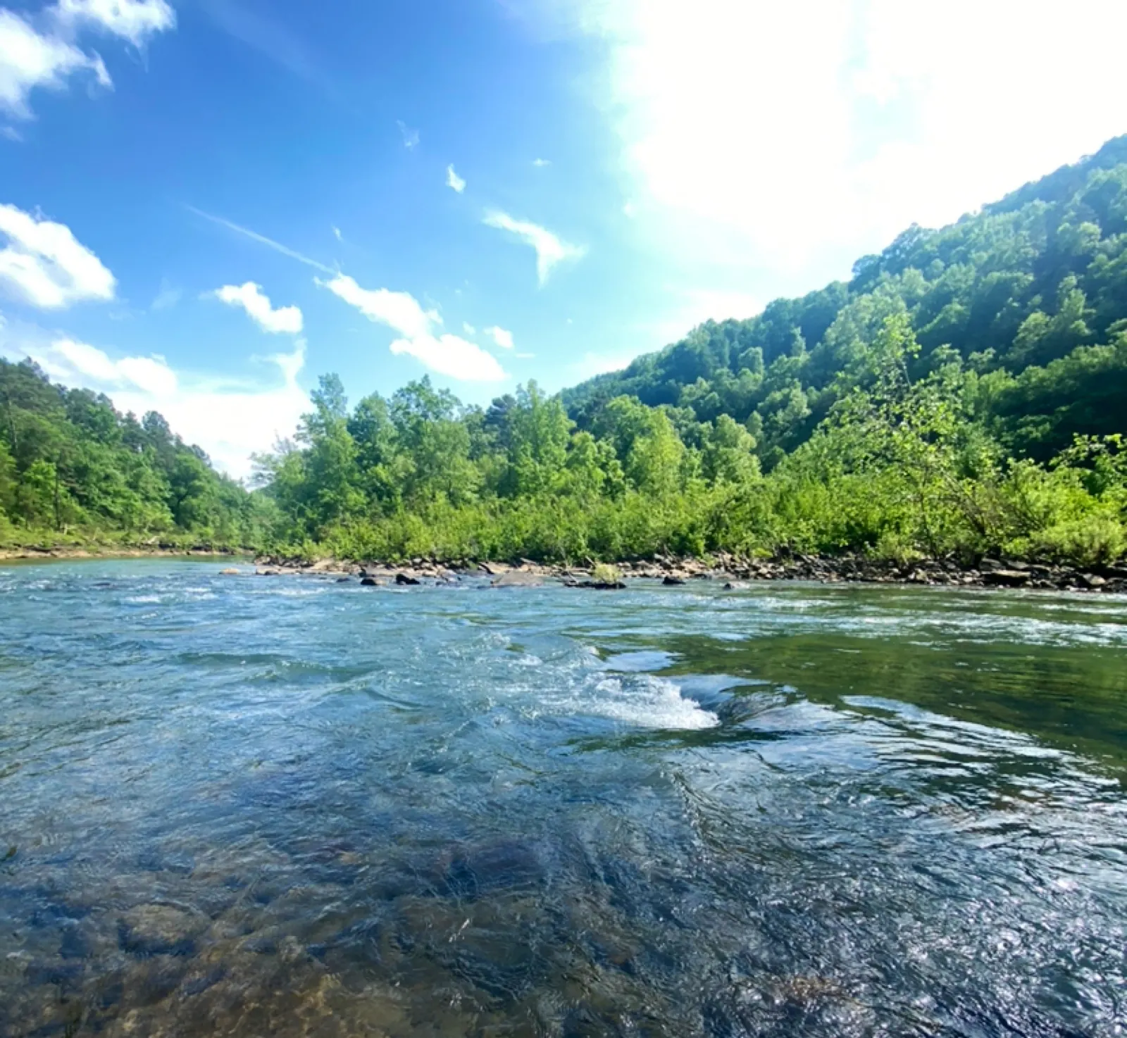
This is a desk-researched listing. A record update or map check does not confirm current swimming permission or water conditions.
Found an error? Send a correction with the location and a source. How we research listings.
Long Pool is a developed Forest Service recreation area for a river outing rather than a remote waterfall hike. Swimming is among the manager's listed activities, alongside camping, picnicking, canoeing, fishing and hiking. The pool, forest and bluffs are the main draw, but river conditions still determine whether to enter the water.
The map now uses Forest Service recreation-area coordinates. The previous pin was well south of Long Pool. Treat this marker as a destination reference, not a surveyed swimming entrance: follow posted parking and access instructions when you arrive and check forest alerts before leaving home.
The 2026 Forest Service schedule lists a $3 daily vehicle day-use fee. Camping costs are separate: $15 for non-electric sites, $20 for single electric sites and $35 for double electric sites. Confirm current charges rather than relying on this page for pass eligibility or a booking total.
The Forest Service listing describes first-come campsites, with electric and non-electric choices. Toilets and showers vary by loop. If showers, utilities or a particular campsite type matter to your trip, ask the district office at 479-284-3150 before arrival; do not assume a day-use payment includes every campground amenity.
Conditions can change with rainfall upstream, and a broad calm-looking reach may still have current, submerged obstacles or sudden depth changes. Avoid diving and cliff jumping. Keep children within direct supervision and make a non-swimming visit when the flow or footing is uncertain.
Navigate to Long Pool Recreation Area on Big Piney Creek north of Dover. Use the corrected recreation-area pin and follow current Forest Service signs and maps. Do not use the former southern pin as a water-entry destination. Check road and river conditions before departure.
The pin identifies the recreation area, not an exact safe swimming entry. River depth and current vary. Follow posted rules and keep vehicle access and launches clear.
Confirm the entrance, parking arrangements, and legal access with the land manager. A map pin does not establish a public right of access. Follow posted routes and never block gates or driveways.
Current swimming permission has not been independently confirmed for this listing. Check official rules, fees, hours, and closures before visiting. Public park access does not necessarily include permission to swim. Respect private property and posted restrictions.
Water conditions can change quickly. This listing does not provide a current safety or water-quality assessment. Check official alerts and avoid entering water when conditions or permission are uncertain.
Bring sturdy water shoes to protect your feet on rocks and slippery surfaces. A waterproof dry bag keeps your phone, keys, and valuables safe. Pack a quick-dry towel, sun protection, and drinking water - never drink from the natural water source.
Nearby places from saved public map data, not necessarily facilities at the swimming spot. Confirm access, hours, fees, and amenities with the operator before you drive.
Map data retrieved 2026-06-15
Park
Dover, AR 72837
Hiking area
Nfr 1804, Dover, AR 72837
RV park
700 Broomfield Rd, Dover, AR 72837
Campground
1074 Pilot Rock Mountain Rd, Dover, AR 72837
Campground
9688 AR-333, Dover, AR 72837
Visitor center
605 W Main St, Russellville, AR 72801
Government office
Federal Building, 100 Reserve St, Hot Springs, AR 71901
Checking nearby USGS water conditions…
No. The 2026 Forest Service schedule lists day use at $3 per vehicle per day. Camping has separate fees.
The Forest Service destination record lists campsites as first-come, first-served. Confirm current arrangements with the district before traveling.
No. It marks the recreation area using Forest Service coordinates. Use posted directions for parking and water access.
The 2026 schedule lists showers for electric Loop C. Facility availability and day-visitor access should be confirmed with the district office.
Managed in the Ozark-St. Francis National Forest along Big Piney Creek.
River and bluff views from established recreation-area approaches.
Use designated parking and campsites, follow posted rules and pack out litter.
Browse every listed natural swimming spot in Arkansas.
Find similar creeks destinations across the directory.
See under-the-radar places and local favorites in the same state.
Compare easier-access destinations and safer planning options.
Use this safety guide before entering any natural water.
Safety & Access Notice
This information is for general planning only and may be incomplete, outdated, or inaccurate. Access rules, closures, water levels, currents, hazards, and legal restrictions can change at any time. Always verify current rules with the land manager or official source before visiting.
You are responsible for your own safety and for following all posted signs, laws, and local regulations. Read the full disclaimer.
First-come, first-served campsites in the Forest Service listing. Electric and non-electric options; separate camping fees apply.
Loading weather data…
Safety & Access Notice
This information is for general planning only and may be incomplete, outdated, or inaccurate. Access rules, closures, water levels, currents, hazards, and legal restrictions can change at any time. Always verify current rules with the land manager or official source before visiting.
You are responsible for your own safety and for following all posted signs, laws, and local regulations. Read the full disclaimer.
Joshua Havens created Hidden Swimming Holes to make it easier for people to find — and safely visit — natural freshwater swimming destinations across the United States. He researches access conditions, water quality resources, and land management rules so you don't have to start from scratch. He holds a strong belief that good outdoor recreation information should be accurate, honest about its limitations, and freely available.
Discover other amazing natural swimming destinations across America