Haw Creek Falls
Scenic spot
3.8 mi
4.7 (207)
Hagarville, AR 72839

Background: generated illustration, not a photograph of this location.
Plan a Haw Creek Falls visit with low-water bridge cautions, free primitive camping, vault toilets and the distinction from Fort Douglas on Big Piney Creek.
Location
A closer look
Photos show past visits, not current water levels or swimming conditions. Select a photo to view it larger.
This is a desk-researched listing. A record update or map check does not confirm current swimming permission or water conditions.
Found an error? Send a correction with the location and a source. How we research listings.
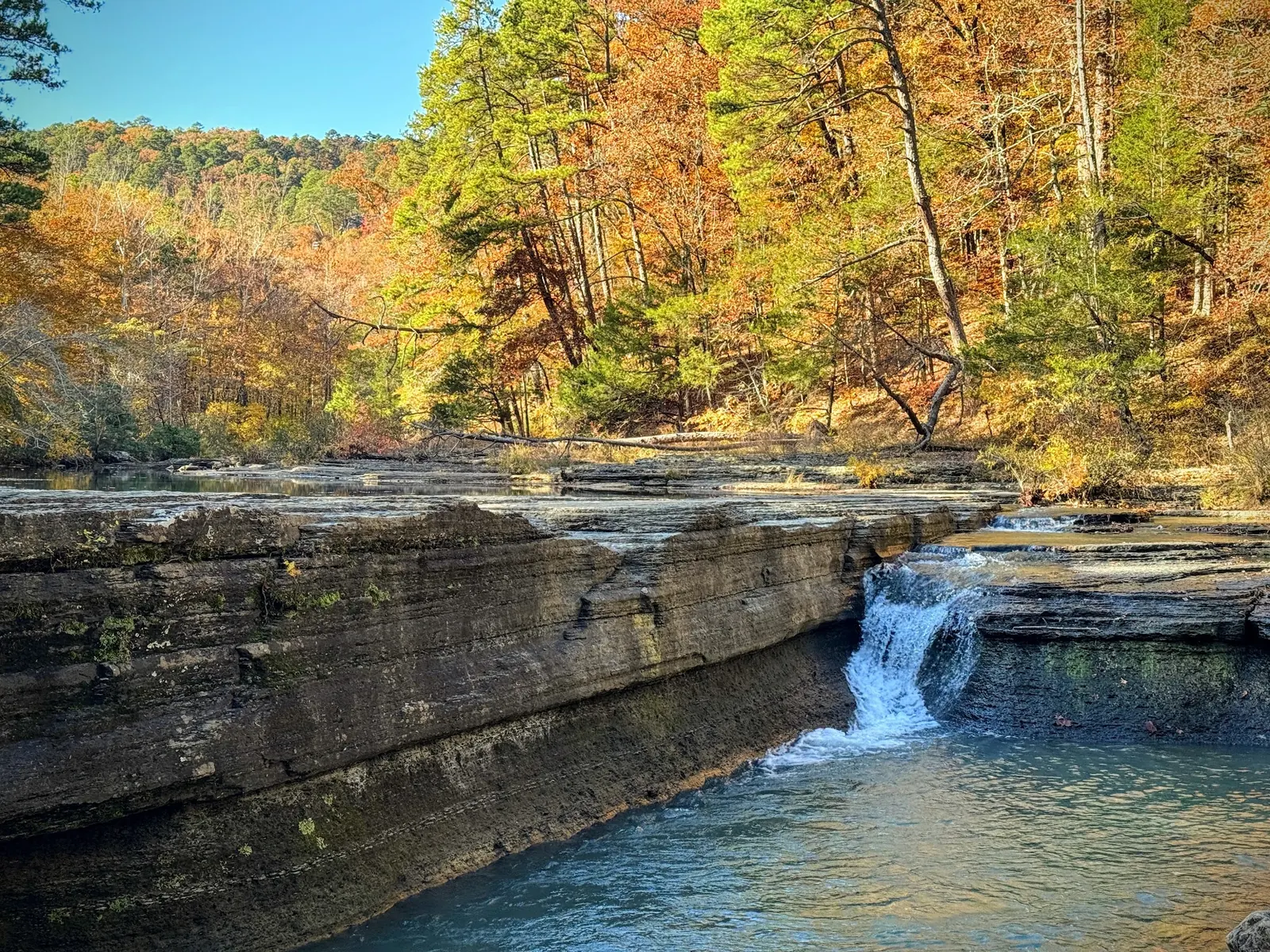
This listing focuses on the Forest Service recreation area at Haw Creek Falls. The falls and wooded surroundings make it a useful stop for waterfall viewing, a picnic or primitive camping. A scenic creek is not proof that water entry is safe on the day you visit.
The entrance crosses a low-water bridge and the area can flash flood. The Forest Service specifically warns that an open entrance does not mean conditions are safe. Cancel or turn back if the crossing is flooded, water is rising or storms threaten the watershed. Do not drive through water to reach the campground.
Bring drinking water, food and a way to carry out all waste. This is a primitive stop rather than a full-service campground. Consult the 2026 Forest Service fee schedule for the free day-use and camping listing and vault-toilet facilities. Check current alerts for changes before travel.
The old listing combined Haw Creek Falls with a separate Big Piney Creek stop at Fort Douglas Bridge. The map now represents Haw Creek Falls recreation-area coordinates. We have not confirmed current public water access, parking permission or rope swings at Fort Douglas, so this page does not direct visitors under the bridge or recommend jumping there.
The Forest Service identifies an accessible waterfall-viewing trail and the Ozark Highlands Trail connection. Neither establishes a safe or accessible water-entry point. Stay on established approaches, avoid slick ledges and choose a viewing visit whenever water conditions are uncertain.
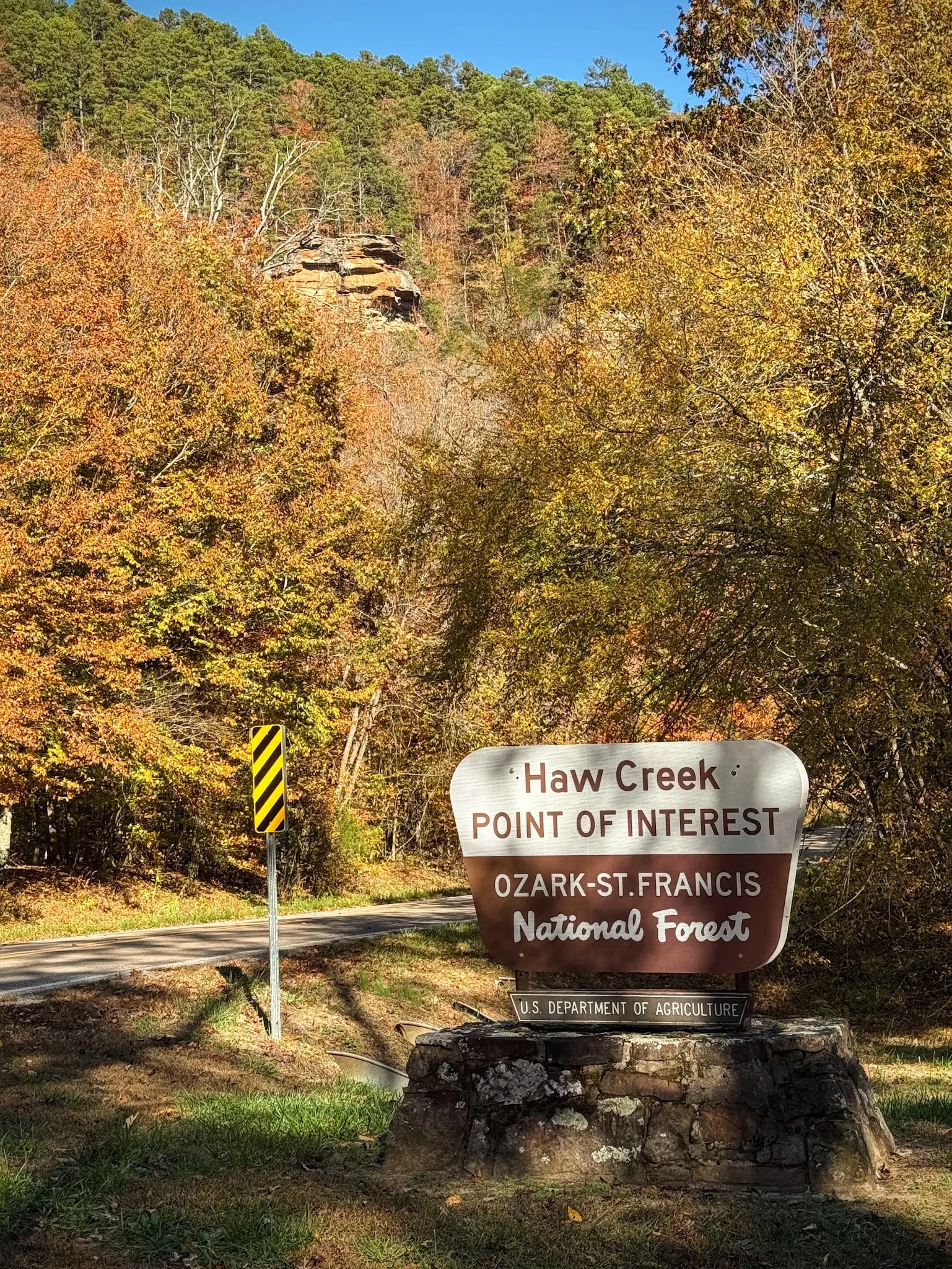
Navigate to Haw Creek Falls Point of Interest in the Ozark-St. Francis National Forest. The map pin represents the recreation area, not Fort Douglas Bridge. The entrance crosses a low-water bridge: do not drive through floodwater. Check forest alerts and local conditions before setting out.
A low-water bridge at the entrance can become hazardous. An open gate is not evidence that a crossing or swimming is safe. Fort Douglas on Big Piney Creek is a separate location; current access permission there has not been established in this review.
Confirm the entrance, parking arrangements, and legal access with the land manager. A map pin does not establish a public right of access. Follow posted routes and never block gates or driveways.
Current swimming permission has not been independently confirmed for this listing. Check official rules, fees, hours, and closures before visiting. Public park access does not necessarily include permission to swim. Respect private property and posted restrictions.
Water conditions can change quickly. This listing does not provide a current safety or water-quality assessment. Check official alerts and avoid entering water when conditions or permission are uncertain.
Bring sturdy water shoes to protect your feet on rocks and slippery surfaces. A waterproof dry bag keeps your phone, keys, and valuables safe. Pack a quick-dry towel, sun protection, and drinking water - never drink from the natural water source.
Nearby places from saved public map data, not necessarily facilities at the swimming spot. Confirm access, hours, fees, and amenities with the operator before you drive.
Map data retrieved 2026-06-15
Scenic spot
Hagarville, AR 72839
Hiking area
Nfr 1804, Dover, AR 72837
Campground
1074 Pilot Rock Mountain Rd, Dover, AR 72837
RV park
700 Broomfield Rd, Dover, AR 72837
Campground
9688 AR-333, Dover, AR 72837
Parking
Arkansas
Dover is a town in Pope County, Arkansas, United States. The population was 1,337 at the 2020 census. Dover is located in the Arkansas River Valley, and is part of the Russellville Micropolitan Statistical Area.
Public bathroom
AR-309, Havana, AR 72842
Visitor center
Co Rd 647, Yellville, AR 72687
Checking nearby USGS water conditions…
The Forest Service's 2026 schedule lists free day use and camping. Check current notices before travel.
The entrance has a low-water bridge and flash flooding is a concern. Never drive across a flooded crossing; an open gate does not establish safe conditions.
No. It represents Haw Creek Falls recreation area. The separate Fort Douglas stop has not had its current access permission verified here.
Vault toilets are listed, but this review does not establish showers or a drinking-water supply. Bring your own water and pack out waste.
Managed within the Ozark-St. Francis National Forest.
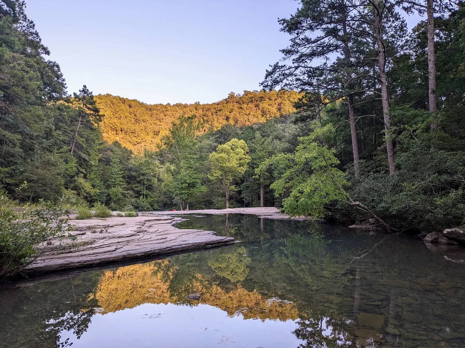
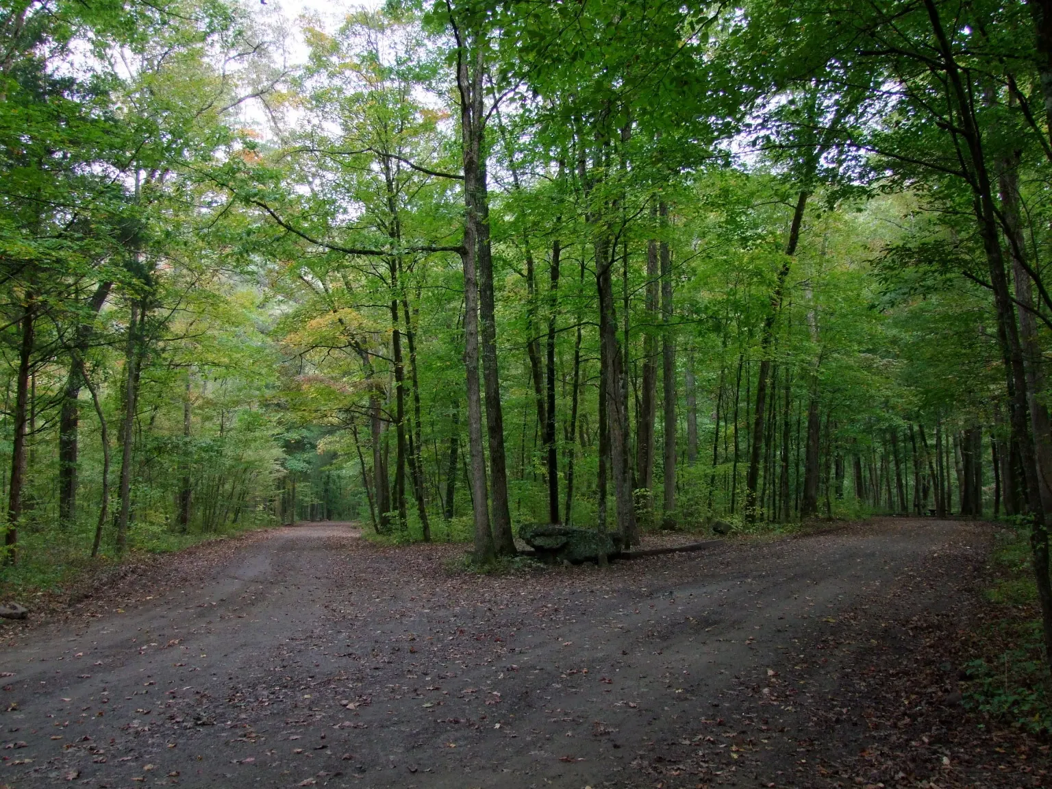
Reviewed gallery views include waterfall and creek scenery, the Haw Creek Point of Interest sign, and a wooded road. Historical road photos are not turn-by-turn directions or proof that the low-water crossing is passable. Use established approaches and never enter floodwater for a photo.
No trash service: take every item home and use designated campsites.
Browse every listed natural swimming spot in Arkansas.
Find similar creeks destinations across the directory.
See under-the-radar places and local favorites in the same state.
Compare easier-access destinations and safer planning options.
Explore waterfall-focused swimming destinations in Arkansas.
Use this safety guide before entering any natural water.
Safety & Access Notice
This information is for general planning only and may be incomplete, outdated, or inaccurate. Access rules, closures, water levels, currents, hazards, and legal restrictions can change at any time. Always verify current rules with the land manager or official source before visiting.
You are responsible for your own safety and for following all posted signs, laws, and local regulations. Read the full disclaimer.
Designated primitive sites; free in the 2026 Forest Service schedule.
Loading weather data…
Safety & Access Notice
This information is for general planning only and may be incomplete, outdated, or inaccurate. Access rules, closures, water levels, currents, hazards, and legal restrictions can change at any time. Always verify current rules with the land manager or official source before visiting.
You are responsible for your own safety and for following all posted signs, laws, and local regulations. Read the full disclaimer.
Joshua Havens created Hidden Swimming Holes to make it easier for people to find — and safely visit — natural freshwater swimming destinations across the United States. He researches access conditions, water quality resources, and land management rules so you don't have to start from scratch. He holds a strong belief that good outdoor recreation information should be accurate, honest about its limitations, and freely available.
Discover other amazing natural swimming destinations across America