Rocks State Park
State park
0.2 mi
4.7 (1936)
3318 Rocks Chrome Hill Rd, Jarrettsville, MD 21084
855-acre park featuring woodlands & large boulder formations, with fishing & tubing in Deer Creek.
Barbecue grillPicnic tablesPublic restroom
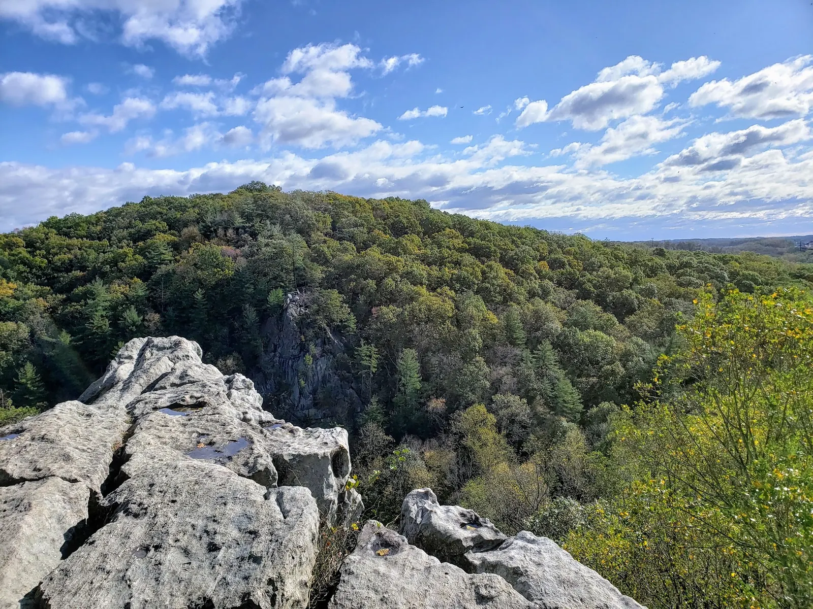
Background photo from a past visit, not current conditions. View photos and source links
Plan Rocks State Park swimming with Deer Creek Rapids restrictions, Kilgore Falls reservations, area-specific parking and official water-quality links.
Swimming restriction
Wading, swimming and tubing are prohibited in Deer Creek Rapids. Elsewhere, follow park instructions and current closures; permitted swimming is at your own risk with no lifeguards.
Official sources checked:
Location
A closer look
Photos show past visits, not current water levels or swimming conditions. Select a photo to view it larger.
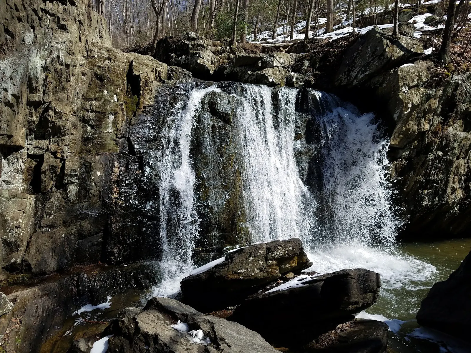
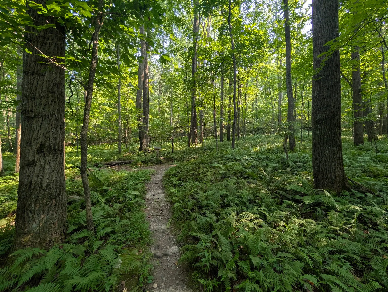
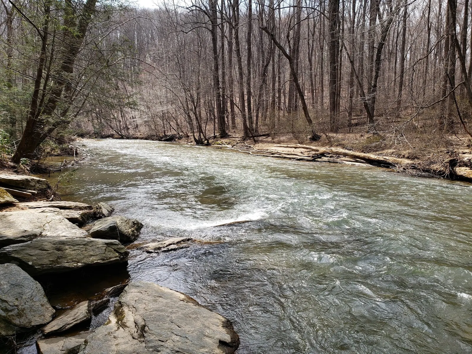
This is a desk-researched listing. A record update or map check does not confirm current swimming permission or water conditions.
Found an error? Send a correction with the location and a source. How we research listings.
Deer Creek in the main park and Kilgore Falls on Falling Branch are separate destinations. Decide which area you plan to visit before booking or navigating.
Wading, swimming and tubing are prohibited in Deer Creek Rapids. Elsewhere, follow park instructions and current closures; permitted swimming is at your own risk with no lifeguards. Read the official river-recreation guidance. Water conditions and swimming ability matter even where entry is permitted.
Kilgore Falls/Falling Branch requires reservations on weekends and holidays from Memorial Day weekend through Labor Day. Check the current Maryland day-use booking system before traveling. Use the official Falling Branch page for current booking links and fees. The parking address is 1026 Falling Branch Road, Pylesville, MD 21132. A half-mile single-track trail leads to the falls; it is not suitable for wheelchairs or strollers. Reaching the base requires a stream crossing. There are no restrooms in this area, and the park discourages jumping from the falls.
Park only in designated lots or authorized pull-offs. Kilgore Falls has no nearby off-site overflow parking; do not use the church or neighboring properties when its lot is full. Fees depend on the area, date and residency. Check the official park fee schedule and the Kilgore Falls reservation page; do not assume roadside access is free or permitted. Check park information and county recreational-water results before a swim. A photograph or past visit is not a current water-quality report.
For Kilgore Falls, use 1026 Falling Branch Road, Pylesville, MD 21132. For the main park, select the specific picnic area using official park directions. The legacy map point does not identify all areas or a verified swimming entry.
Park only in designated lots or authorized pull-offs. Kilgore Falls has no nearby off-site overflow parking; do not use the church or neighboring properties when its lot is full. Kilgore Falls/Falling Branch requires reservations on weekends and holidays from Memorial Day weekend through Labor Day. Check the current Maryland day-use booking system before traveling.
Confirm the entrance, parking arrangements, and legal access with the land manager. A map pin does not establish a public right of access. Follow posted routes and never block gates or driveways.
Wading, swimming and tubing are prohibited in Deer Creek Rapids. Elsewhere, follow park instructions and current closures; permitted swimming is at your own risk with no lifeguards. Public park access does not necessarily include permission to swim. Respect private property and posted restrictions.
Water conditions can change quickly. This listing does not provide a current safety or water-quality assessment. Check official alerts and avoid entering water when conditions or permission are uncertain.
Bring sturdy water shoes to protect your feet on rocks and slippery surfaces. A waterproof dry bag keeps your phone, keys, and valuables safe. Pack a quick-dry towel, sun protection, and drinking water - never drink from the natural water source.
Nearby places from saved public map data, not necessarily facilities at the swimming spot. Confirm access, hours, fees, and amenities with the operator before you drive.
Map data retrieved 2026-06-15
State park
3318 Rocks Chrome Hill Rd, Jarrettsville, MD 21084
855-acre park featuring woodlands & large boulder formations, with fishing & tubing in Deer Creek.
State park
Unnamed Road, Jarrettsville, MD 21084
State park
1026 Falling Branch Rd, Pylesville, MD 21132
2nd-highest free-falling waterfall in the state, located in Rocks State Park.
Parking garage
6 S Hickory Ave, Bel Air, MD 21014
Campground
729 Craigs Corner Rd, Havre De Grace, MD 21078
Campground
4228 Birch Ave, Abingdon, MD 21009
Campground
1601 Skippers Point Rd, Gunpowder, MD 21010
Forestry office
Ranger Station, Riverdale, MD 20737
Checking nearby USGS water conditions…
Reported fee information: Fees depend on the area, date and residency. Check the official park fee schedule and the Kilgore Falls reservation page; do not assume roadside access is free or permitted. Verify current pricing with the managing agency before your visit.
Wading, swimming and tubing are prohibited in Deer Creek Rapids. Elsewhere, follow park instructions and current closures; permitted swimming is at your own risk with no lifeguards.
Rocks State Park Swimming Holes, Maryland is a creek on Deer Creek located in Maryland, near Edgewood. Plan Rocks State Park swimming with Deer Creek Rapids restrictions, Kilgore Falls reservations, area-specific parking and official water-quality links.
Seasonal planning notes: Choose a date with suitable conditions and required reservations; check the specific area's current opening times. Water levels, clarity, and temperature vary with recent weather. Check current conditions before going, especially after rain or snowmelt.
Reported facilities at Rocks State Park Swimming Holes, Maryland include: Kilgore Falls has no restrooms, picnic tables or grills. Check main-park facilities for the specific picnic area. Amenities can change - contact the managing agency or check recent visitor reports to confirm current availability.
Not at site, camp nearby at Susquehanna State Park
The park is located near towns with deep historical roots, including Bel Air, the county seat of Harford County. The area reflects Maryland's blend of natural beauty and cultural heritage.
Photograph scenery from permitted trails and viewpoints without blocking access. Photos do not establish current water conditions.
Visitors are encouraged to adhere to Leave No Trace principles to protect the delicate ecosystem. Stay on designated trails and dispose of waste properly.
Browse every listed natural swimming spot in Maryland.
Find similar creeks destinations across the directory.
See under-the-radar places and local favorites in the same state.
Compare easier-access destinations and safer planning options.
Explore waterfall-focused swimming destinations in Maryland.
Use this safety guide before entering any natural water.
Safety & Access Notice
This information is for general planning only and may be incomplete, outdated, or inaccurate. Access rules, closures, water levels, currents, hazards, and legal restrictions can change at any time. Always verify current rules with the land manager or official source before visiting.
You are responsible for your own safety and for following all posted signs, laws, and local regulations. Read the full disclaimer.
Not at site, camp nearby at Susquehanna State Park
Loading weather data…
Safety & Access Notice
This information is for general planning only and may be incomplete, outdated, or inaccurate. Access rules, closures, water levels, currents, hazards, and legal restrictions can change at any time. Always verify current rules with the land manager or official source before visiting.
You are responsible for your own safety and for following all posted signs, laws, and local regulations. Read the full disclaimer.
Joshua Havens created Hidden Swimming Holes to make it easier for people to find — and safely visit — natural freshwater swimming destinations across the United States. He researches access conditions, water quality resources, and land management rules so you don't have to start from scratch. He holds a strong belief that good outdoor recreation information should be accurate, honest about its limitations, and freely available.
Discover other amazing natural swimming destinations across America