Camp Wood
Campground
0.4 mi
5 (1)
Parkton, MD 21120
Public showerTent sites

Background: generated illustration, not a photograph of this location.
Plan Gunpowder Falls' Hereford area with documented parking approaches, cold-water cautions, trail rules, overnight options and reviewed river and trail photos.
Swimming permission unconfirmed
Confirm water-entry restrictions with park staff and current signs. Hammerman's beach supervision and swimming arrangements do not apply to Hereford. Do not use old rope-swing or jumping advice.
Official sources checked:
Location
A closer look
Photos show past visits, not current water levels or swimming conditions. Select a photo to view it larger.
This is a desk-researched listing. A record update or map check does not confirm current swimming permission or water conditions.
Found an error? Send a correction with the location and a source. How we research listings.
The Hereford area has multiple access points, not one universal swimming entrance. Its park-area pin is unverified as a water entry. Hammerman Beach is a separate destination with its own swimming arrangements.
Consult DNR's directions for Bunker Hill, Masemore or Falls Road. The former York Road roadside and bridge-walking itinerary is not retained as verified advice. Plan the return route before leaving the parking area.
The river-recreation page explains reservoir-release cold water and paddling difficulty that varies by reach. A warm afternoon or shallow-looking photo is not proof of suitable water-entry conditions. Private property begins downstream of Big Falls Road; a float is not permission to land anywhere.
Camp Wood is a permitted youth-group option, while Mill Pond Cottage is separate lodging. Neither allows casual riverside camping or guarantees amenities at another trailhead.
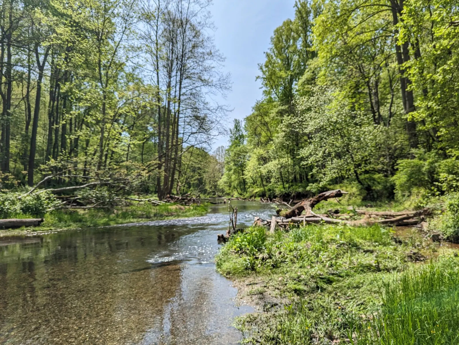
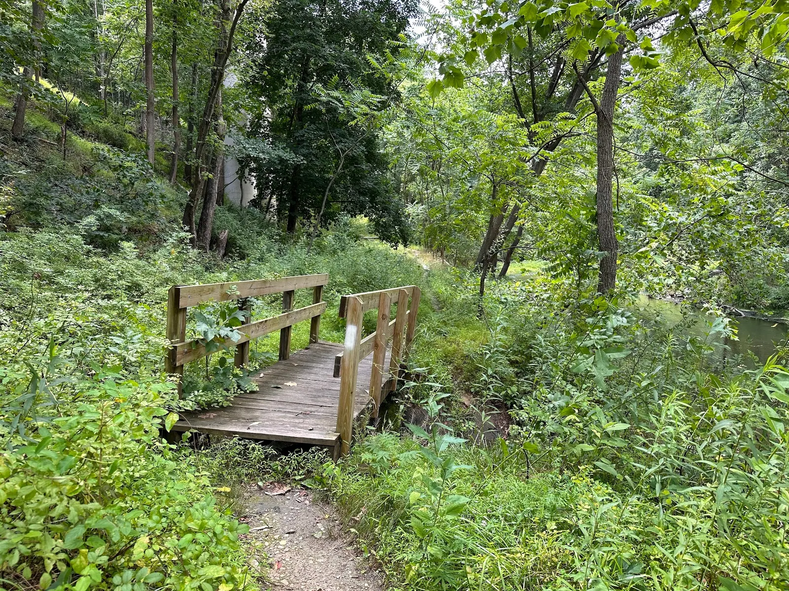
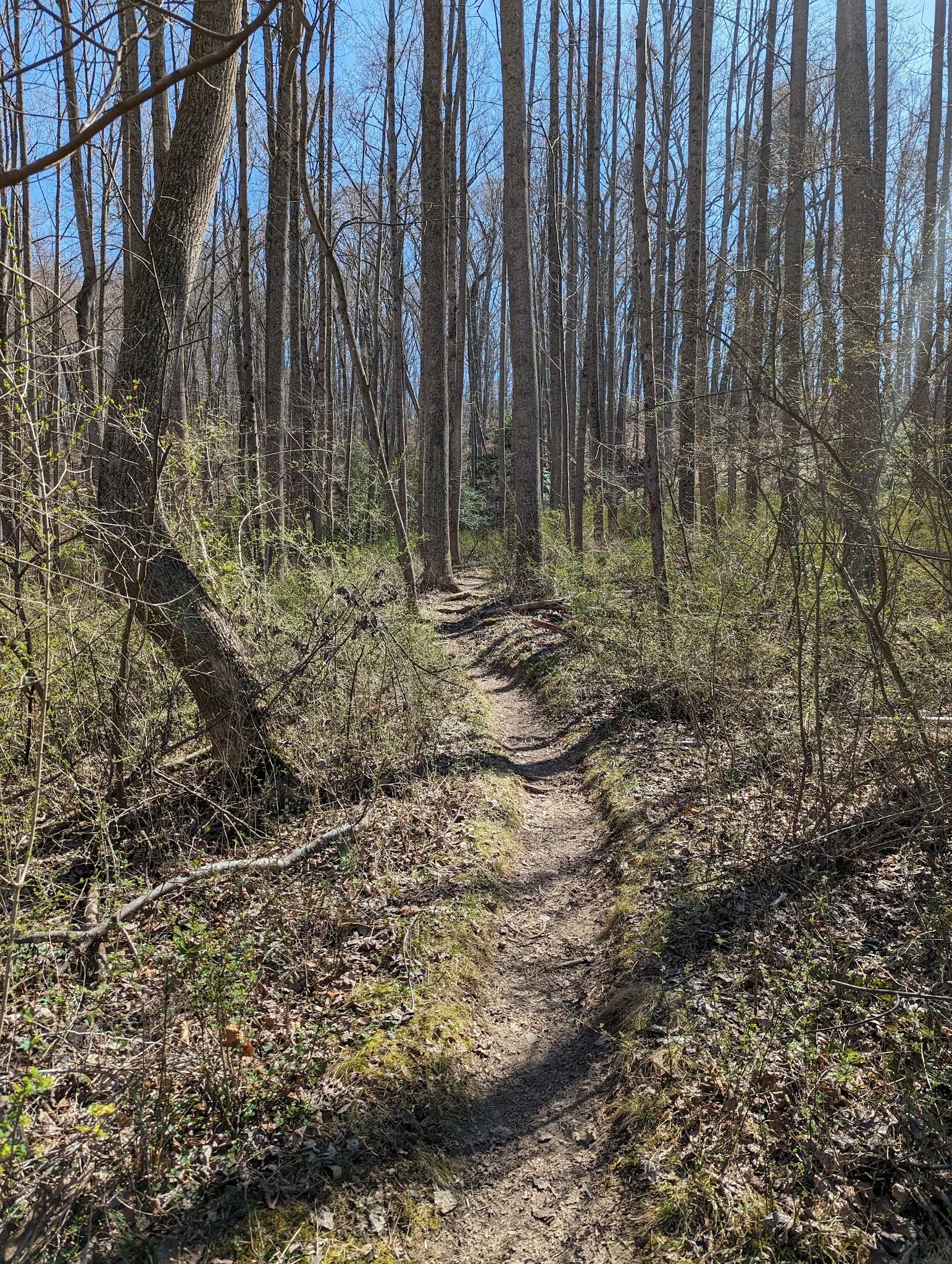
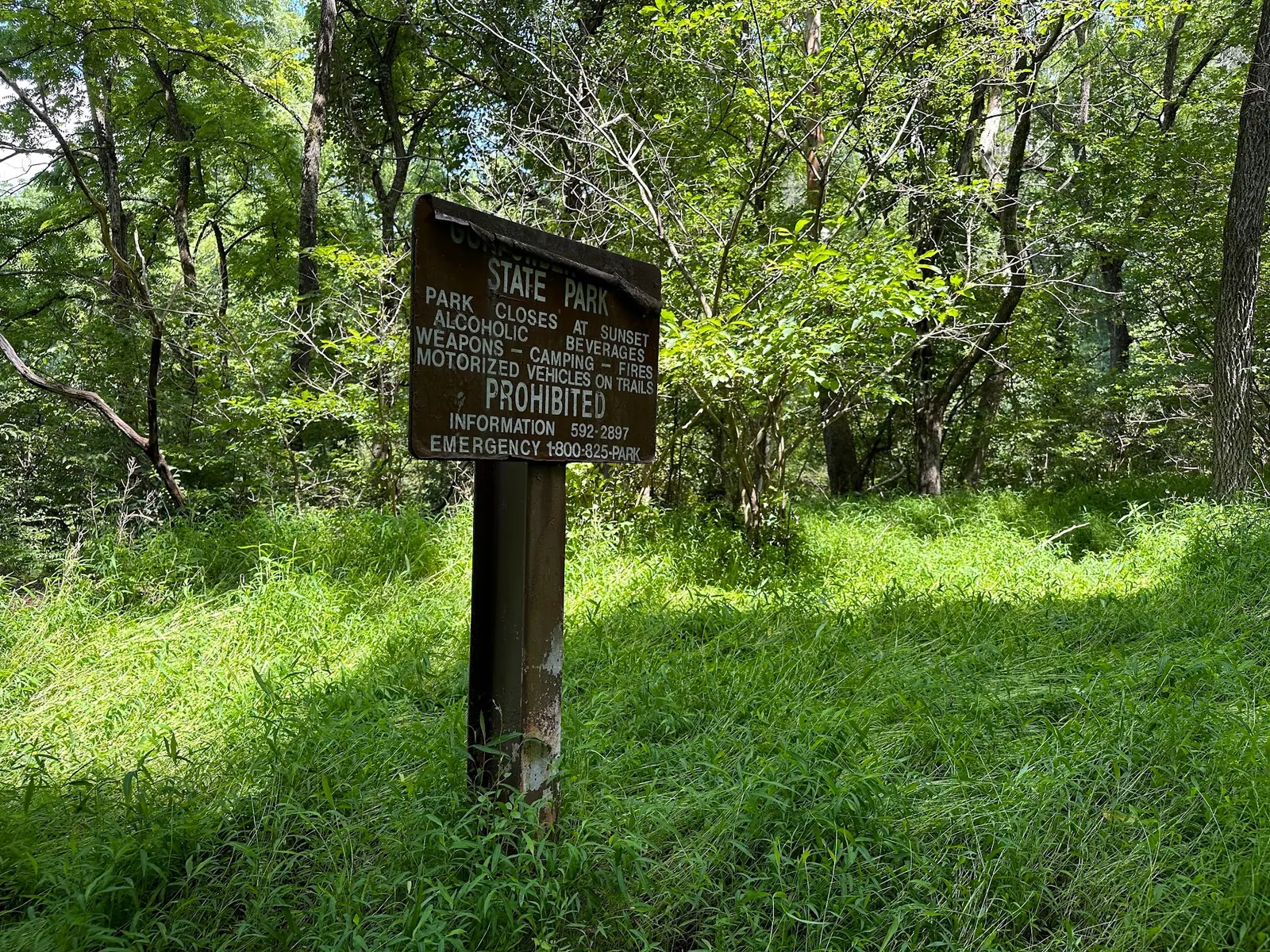
The reviewed river, footbridge, path and park-sign photos illustrate historical surroundings without identifiable visitors. Follow present signs and the official trail guidance; no photograph verifies today's river depth, supervision or accessibility.
Choose a documented access point before departure. DNR describes Bunker Hill Road via I-83 north exit 27, east on Mount Carmel Road, north on York Road past Hereford High School, then Bunker Hill Road to the large asphalt lot. Its other approaches use Masemore Road to a lot before the iron bridge, or Evna Road and Falls Road to a riverside lot. Consult the official directions and trail map for the chosen approach. The historical pin is about 1.2 miles from the saved named area record, not a verified water entry. Old York Road roadside parking and sidewalk-free bridge-crossing instructions have been withdrawn.
The area is noncontiguous with multiple trailheads. A park-area map pin is not an entrance to each river reach. Arrange an appropriate return and take-out plan before paddling.
Confirm the entrance, parking arrangements, and legal access with the land manager. A map pin does not establish a public right of access. Follow posted routes and never block gates or driveways.
Confirm water-entry restrictions with park staff and current signs. Hammerman's beach supervision and swimming arrangements do not apply to Hereford. Do not use old rope-swing or jumping advice. Public park access does not necessarily include permission to swim. Respect private property and posted restrictions.
Water conditions can change quickly. This listing does not provide a current safety or water-quality assessment. Check official alerts and avoid entering water when conditions or permission are uncertain.
Nearby places from saved public map data, not necessarily facilities at the swimming spot. Confirm access, hours, fees, and amenities with the operator before you drive.
Map data retrieved 2026-06-15
Campground
Parkton, MD 21120
Hiking area
1001 Falls Rd, Parkton, MD 21120
Park
17910 York Rd, Parkton, MD 21120
Parking grounds
Monkton, MD 21111
Park
17910 York Rd, Parkton, MD 21120
Hiking area
17569-17587 Big Falls Rd, Monkton, MD 21111
Forestry service
9405 Old Harford Rd, Parkville, MD 21234
Public bathroom
9650 Honeygo Blvd, Perry Hall, MD 21128
No. Hammerman is the separate beach destination. DNR describes paddling and tubing at Hereford; this review did not verify permission for the old named swimming holes.
Do not assume roadside space is permitted. Use DNR's documented parking approaches and current signs, rather than the old bridge-crossing itinerary.
DNR prohibits bicycles on Hereford trails. Hiking and horseback routes still require appropriate terrain planning and designated-path use.
Do not assume that is permitted. Camp Wood requires an organized youth-group permit and operates seasonally; Mill Pond Cottage is separately arranged lodging.
Hereford's protected wildlands and trout waters are distinct from the park's tidal Hammerman beach area. Plan around the correct section, not the park name alone.
Four historical images show wooded river scenery, a small footbridge, a natural-surface path and a Gunpowder Falls park sign. They do not identify a safe swimming depth, current access or a maintained rope swing.
DNR prohibits bicycles on Hereford trails and asks visitors to remain on designated paths. Pack out trash and observe the area's alcohol restriction. Respect private property below Big Falls Road.
Browse every listed natural swimming spot in Maryland.
Compare nearby options around Baltimore before you choose a route.
Find similar creeks destinations across the directory.
See under-the-radar places and local favorites in the same state.
Compare easier-access destinations and safer planning options.
Explore waterfall-focused swimming destinations in Maryland.
Safety & Access Notice
This information is for general planning only and may be incomplete, outdated, or inaccurate. Access rules, closures, water levels, currents, hazards, and legal restrictions can change at any time. Always verify current rules with the land manager or official source before visiting.
You are responsible for your own safety and for following all posted signs, laws, and local regulations. Read the full disclaimer.
DNR offers permit-based organized youth camping at Camp Wood from May 1 through September 30. Mill Pond Cottage is separately arranged lodging, not permission to camp at a riverbank or trailhead. Check availability with park staff.
Loading weather data…
Safety & Access Notice
This information is for general planning only and may be incomplete, outdated, or inaccurate. Access rules, closures, water levels, currents, hazards, and legal restrictions can change at any time. Always verify current rules with the land manager or official source before visiting.
You are responsible for your own safety and for following all posted signs, laws, and local regulations. Read the full disclaimer.
Joshua Havens created Hidden Swimming Holes to make it easier for people to find — and safely visit — natural freshwater swimming destinations across the United States. He researches access conditions, water quality resources, and land management rules so you don't have to start from scratch. He holds a strong belief that good outdoor recreation information should be accurate, honest about its limitations, and freely available.
Discover other amazing natural swimming destinations across America