Red River Gorge Geological Area
National forest
4.8 (1096)
Stanton, KY 40380
Area of huge cliffs & sandstone arches carved by the Red River, with a visitor center.
Cycling lanesPicnic tablesPublic restroomRestroom

Background: generated illustration, not a photograph of this location.
Plan Red River Gorge recreation with Gladie visitor information, canoe-access distinctions, camping requirements and a clearly labeled area photo gallery.
Swimming permission unconfirmed
Ask staff about the intended reach and current rules. A canoe launch, hiking trail or scenic overlook is not swimming clearance.
Official sources checked:
Location
A closer look
Photos show past visits, not current water levels or swimming conditions. Select a photo to view it larger.
This is a desk-researched listing. A record update or map check does not confirm current swimming permission or water conditions.
Found an error? Send a correction with the location and a source. How we research listings.
This listing covers a broad part of Red River Gorge. It does not identify one inspected swimming entrance. The federal Red River overview documents primitive access and Copperas Creek Canoe Launch on KY 715. Paddling access is not evidence of safe depth or a designated swimming beach.
Gladie Visitor Center is at 3451 Sky Bridge Road in Stanton. Use it to plan the next destination, not as the destination for swimming. Check the arrival guidance before driving narrow roads or Nada Tunnel.
The operator lists visitor-center amenities, but those do not carry over to an isolated riverbank. Dispersed camping requires a permit, and regional camping guidance describes overnight vehicle requirements. A permit does not make every informal campsite legal; check current location restrictions.
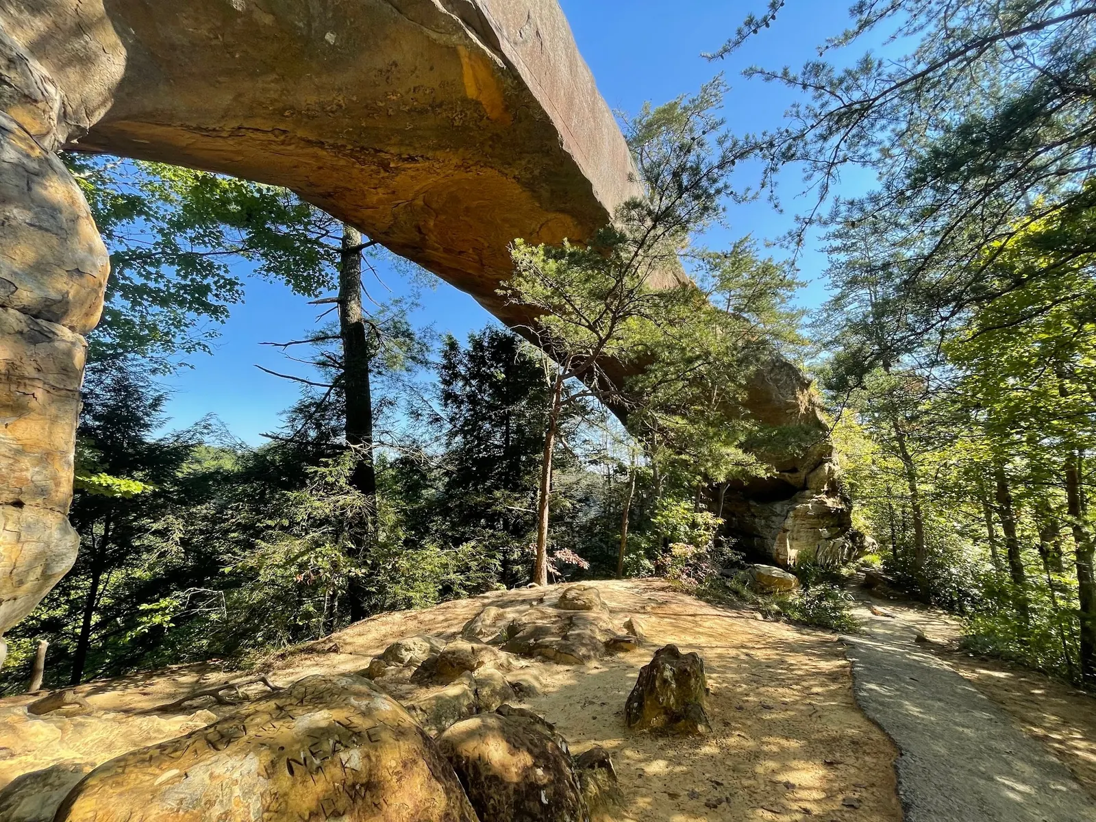
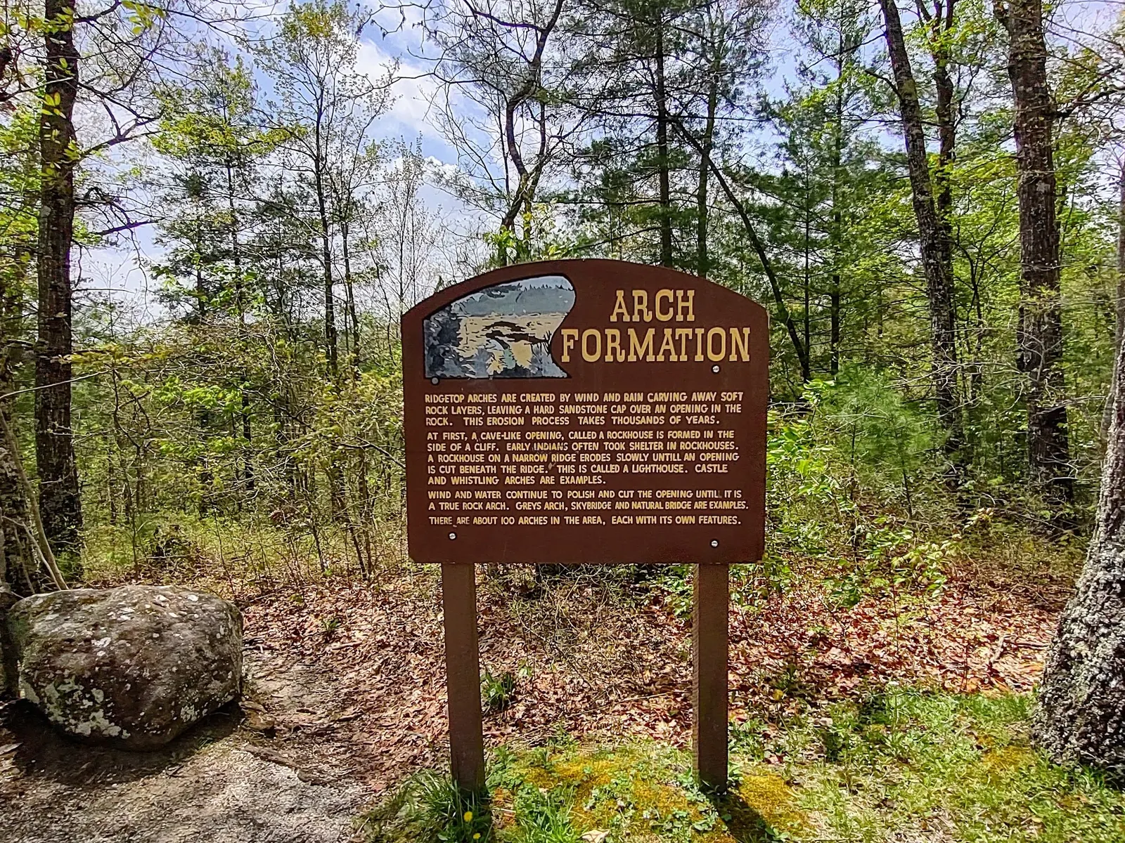
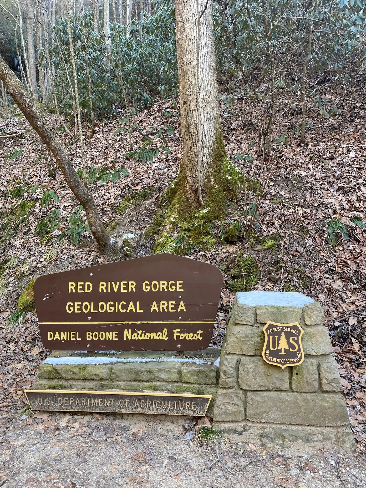
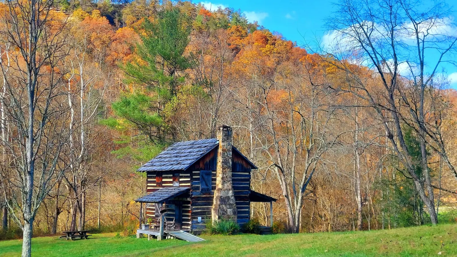
Four photographs show geology, signs and a historic cabin in the saved Geological Area collection. We have not verified a swimming-pool photo in this set. The named area sign supports the collection's general identity, not an exact water-entry location. The old child-friendly depth and jumping suggestions have been removed.
Start trip planning at Gladie Visitor Center, 3451 Sky Bridge Road (KY 715), Stanton. Select a separate recreation access after checking maps and conditions. The federal river overview documents Copperas Creek Canoe Launch on KY 715 for paddling, not as a designated swim beach. Retained historical coordinates are not a verified pool or parking pin.
Narrow roads and Nada Tunnel need advance route planning. Check the operator's arrival guidance for your vehicle, use legal parking and obey closures rather than following an assumed short trail to water.
Confirm the entrance, parking arrangements, and legal access with the land manager. A map pin does not establish a public right of access. Follow posted routes and never block gates or driveways.
Ask staff about the intended reach and current rules. A canoe launch, hiking trail or scenic overlook is not swimming clearance. Public park access does not necessarily include permission to swim. Respect private property and posted restrictions.
Water conditions can change quickly. This listing does not provide a current safety or water-quality assessment. Check official alerts and avoid entering water when conditions or permission are uncertain.
Nearby places from saved public map data, not necessarily facilities at the swimming spot. Confirm access, hours, fees, and amenities with the operator before you drive.
Map data retrieved 2026-06-15
National forest
Stanton, KY 40380
Area of huge cliffs & sandstone arches carved by the Red River, with a visitor center.
Hiking area
Pine Ridge, KY 41360
Hiking area
Pine Ridge, KY 41360
Campground
4089 Iron Works Pike, Lexington, KY 40511
Campground
2810 Two Mile Rd, Winchester, KY 40391
Park
1107 W Lexington Ave, Winchester, KY 40391
Visitor center
61 S Main St, Winchester, KY 40391
Federal government office
1700 Bypass Rd, Winchester, KY 40391
No. It is an area-level planning listing. Confirm the intended reach, access and rules before considering water recreation.
Gladie Visitor Center at 3451 Sky Bridge Road, Stanton, provides area information. Confirm current opening before relying on indoor services.
No. Dispersed camping requires a permit and has location restrictions. Check the selected campsite separately; a used fire ring is not authorization.
No verified pool photo is included. The images illustrate the geological area and its historical setting, not current water conditions.
The gorge's rock formations and historical structures are part of a wider recreation landscape. A general area record is not one uniform swimming facility.
The gallery shows an arch, geology interpretation sign, named Geological Area sign and historic log cabin. These are area-context photographs, not verified images of swimming pools or water-entry routes.
The river corridor is bear habitat with food-storage requirements. Follow current staff and forest guidance, leave cultural resources untouched and pack out litter.
Browse every listed natural swimming spot in Kentucky.
Compare nearby options around Lexington before you choose a route.
Find similar river destinations across the directory.
See under-the-radar places and local favorites in the same state.
Compare easier-access destinations and safer planning options.
Use this safety guide before entering any natural water.
Safety & Access Notice
This information is for general planning only and may be incomplete, outdated, or inaccurate. Access rules, closures, water levels, currents, hazards, and legal restrictions can change at any time. Always verify current rules with the land manager or official source before visiting.
You are responsible for your own safety and for following all posted signs, laws, and local regulations. Read the full disclaimer.
Dispersed camping in the Geological Area requires a permit and is subject to location restrictions. Koomer Ridge is a separate developed campground. Gladie is not an overnight campground; do not assume an informal riverside campsite is authorized.
Loading weather data…
Safety & Access Notice
This information is for general planning only and may be incomplete, outdated, or inaccurate. Access rules, closures, water levels, currents, hazards, and legal restrictions can change at any time. Always verify current rules with the land manager or official source before visiting.
You are responsible for your own safety and for following all posted signs, laws, and local regulations. Read the full disclaimer.
Joshua Havens created Hidden Swimming Holes to make it easier for people to find — and safely visit — natural freshwater swimming destinations across the United States. He researches access conditions, water quality resources, and land management rules so you don't have to start from scratch. He holds a strong belief that good outdoor recreation information should be accurate, honest about its limitations, and freely available.
Discover other amazing natural swimming destinations across America