Red Creek Trail
Trailhead
West Virginia 26260

Background: generated illustration, not a photograph of this location.
Choose a Red Creek destination in Dolly Sods, compare trail approaches, check wilderness planning guidance and view four qualified campground photos.
Swimming restriction
Check current restrictions and water conditions; an informal swimming description is not today's clearance.
Official sources checked:
Location
A closer look
Photos show past visits, not current water levels or swimming conditions. Select a photo to view it larger.

This is a desk-researched listing. A record update or map check does not confirm current swimming permission or water conditions.
Found an error? Send a correction with the location and a source. How we research listings.
WVU's guide describes separate creek reaches near Laneville, the upper forks and the Fisher Spring Run junction. This listing historically focuses on the junction cascades, not one roadside pool. The guide is not a current depth or water-quality inspection.
The official trail map lists Fisher Spring Run Trail 510 at 2.5 miles and Red Creek Trail 514 at 6.4 miles. These are full trail lengths, not swimming-pool round trips. Choose a trailhead and return route; no precise swimming pin is supplied. A September 2026 road-work report described a closure through September 25. It does not prove today's road status. Confirm access with the forest before departure.
The Forest Service guidance warns about high-water fords and unavailable potable water. Carry drinking water and an offline map. Groups larger than ten are prohibited. Camping and open fires within 300 feet of Forest Roads 19 and 75 are prohibited except at Red Creek Campground; follow the additional camping guidance and current notices. Old military shells may remain: do not touch or move suspicious objects, retreat and report the location to the Forest Service. Do not jump or slide from falls or attempt a crossing that could prevent your return.
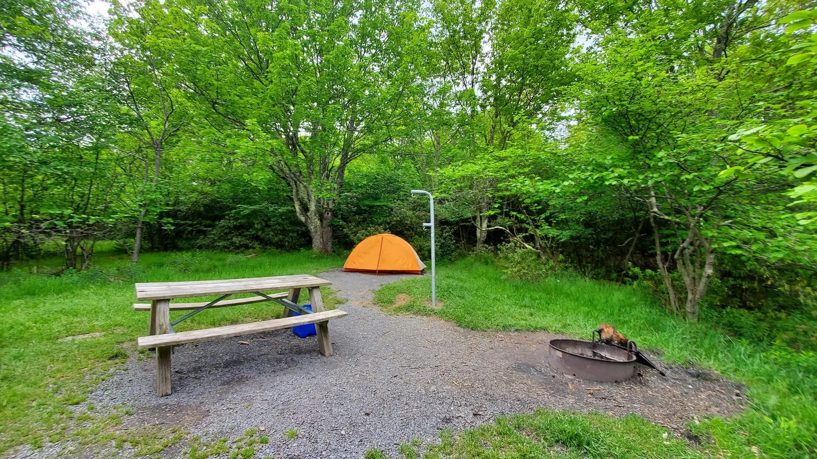
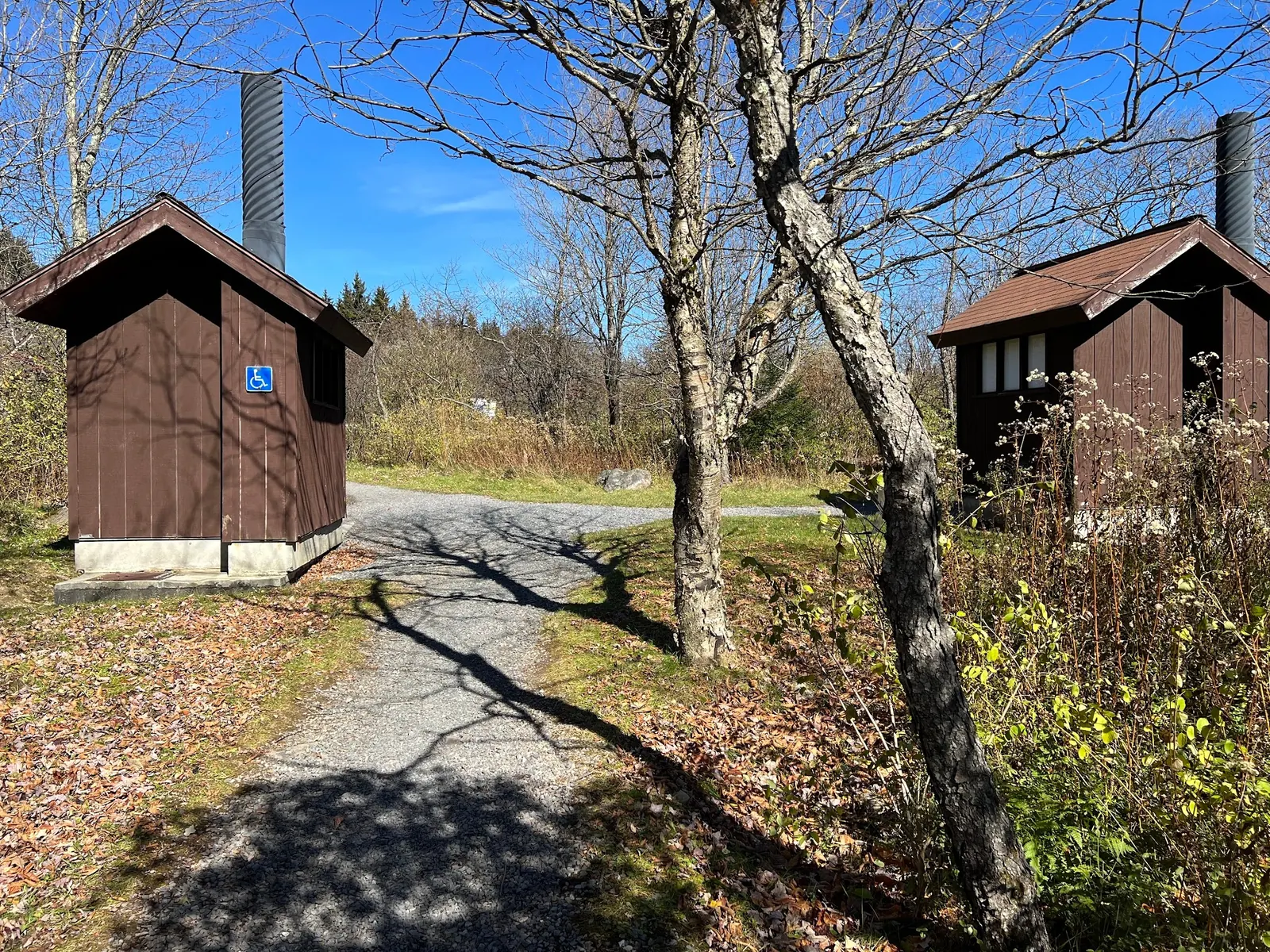
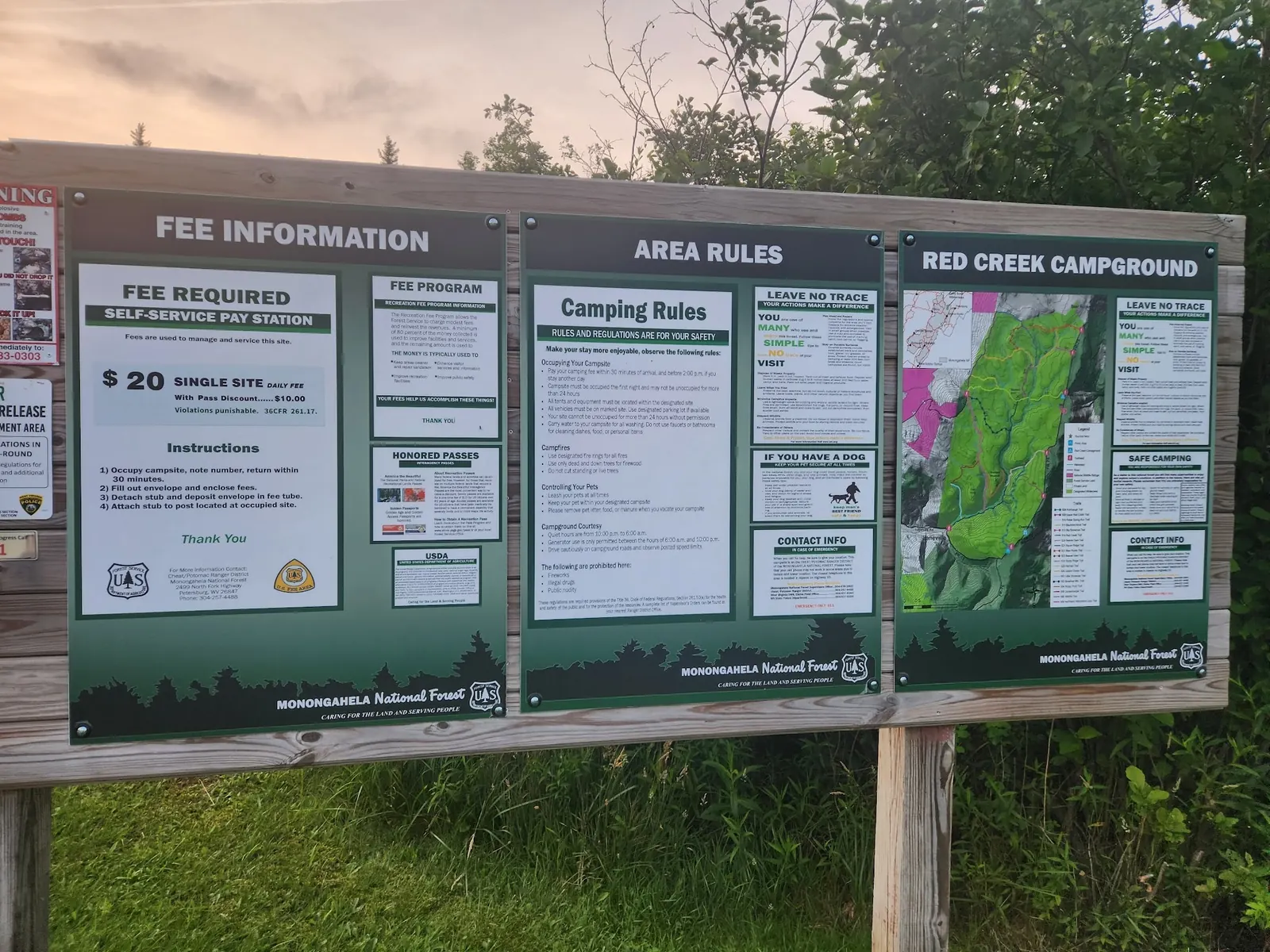
Recreation.gov identifies a separate primitive campground and does not offer its reservations. Confirm operation and arrangements independently. The four reviewed photos show that facility's entrance, campsite, toilet buildings and information board. Historical fee and accessibility signs do not establish current prices, accessible water entry or facilities at a creek pool.
Choose the Fisher Spring Run junction, upper forks or Laneville reach first. Use the official trail map and check current road access; no precise pool-entry pin is supplied.
No current road-opening claim. Trailhead coordinates in official resources are not swimming-hole pins.
Confirm the entrance, parking arrangements, and legal access with the land manager. A map pin does not establish a public right of access. Follow posted routes and never block gates or driveways.
Check current restrictions and water conditions; an informal swimming description is not today's clearance. Public park access does not necessarily include permission to swim. Respect private property and posted restrictions.
Water conditions can change quickly. This listing does not provide a current safety or water-quality assessment. Check official alerts and avoid entering water when conditions or permission are uncertain.
Bring sturdy water shoes to protect your feet on rocks and slippery surfaces. A waterproof dry bag keeps your phone, keys, and valuables safe. Pack a quick-dry towel, sun protection, and drinking water - never drink from the natural water source.
Nearby places from saved public map data, not necessarily facilities at the swimming spot. Confirm access, hours, fees, and amenities with the operator before you drive.
Map data retrieved 2026-06-15
Trailhead
West Virginia 26260
Campground
Petersburg, WV 26847
Public bathroom
Canaan Heights, WV 26260
Campground
12 Prowler Dr, Cabins, WV 26855
Federal government office
2499 N Fork Hwy, Petersburg, WV 26847
Canoe & kayak rental service
261 Hicks Dr, Petersburg, WV 26847
Public bathroom
17 Forest Service Rd 104, Riverton, WV 26814
Public bathroom
Napier, WV 26631
Its historical focus is the Fisher Spring Run junction. Laneville and the upper forks are separate destinations with different approaches.
No. They describe full trails, not exact out-and-back walks to particular pools.
That page does not offer reservations. Confirm current campground operation and arrangements separately.
No. Their signs and amenities belong to a separate facility; they do not verify a pool entry or current swimming fees.
No current opening claim is made. Dated construction notices cannot replace a fresh access check.
Dolly Sods military-training history creates a practical ordnance precaution, not a sightseeing invitation.
Four campground-context views show entrance, campsite, toilets and information board, not the swimming pools.
Follow published wilderness restrictions and current posted notices; pack out litter.
Browse every listed natural swimming spot in West Virginia.
Compare nearby options around Petersburg before you choose a route.
Find similar waterfalls destinations across the directory.
See under-the-radar places and local favorites in the same state.
Compare easier-access destinations and safer planning options.
Explore waterfall-focused swimming destinations in West Virginia.
Safety & Access Notice
This information is for general planning only and may be incomplete, outdated, or inaccurate. Access rules, closures, water levels, currents, hazards, and legal restrictions can change at any time. Always verify current rules with the land manager or official source before visiting.
You are responsible for your own safety and for following all posted signs, laws, and local regulations. Read the full disclaimer.
Red Creek Campground is separate from the swimming destinations; check operation and current wilderness rules.
Loading weather data…
Safety & Access Notice
This information is for general planning only and may be incomplete, outdated, or inaccurate. Access rules, closures, water levels, currents, hazards, and legal restrictions can change at any time. Always verify current rules with the land manager or official source before visiting.
You are responsible for your own safety and for following all posted signs, laws, and local regulations. Read the full disclaimer.
Joshua Havens created Hidden Swimming Holes to make it easier for people to find — and safely visit — natural freshwater swimming destinations across the United States. He researches access conditions, water quality resources, and land management rules so you don't have to start from scratch. He holds a strong belief that good outdoor recreation information should be accurate, honest about its limitations, and freely available.
Discover other amazing natural swimming destinations across America