Parking
Parking lot
0.7 mi
4 (1)
Unnamed Road, 31 Academy St, South Berwick, ME 03908

Background: generated illustration, not a photograph of this location.
See Leigh's Mill Pond scenery with two reviewed photos and a dated Maine survey reference. Public parking, dock use and swimming permission remain unverified.
Swimming permission unconfirmed
The state fishing survey does not establish current public swimming permission. Its historical access description requires a fresh check with the relevant owner or manager; do not treat a photographed dock as a public entrance.
Status summarizes our reviewed record, not today's opening or safety. Check current rules, swimming boundaries and notices before visiting.
Location
A closer look
Photos show past visits, not current water levels or swimming conditions. Select a photo to view it larger.
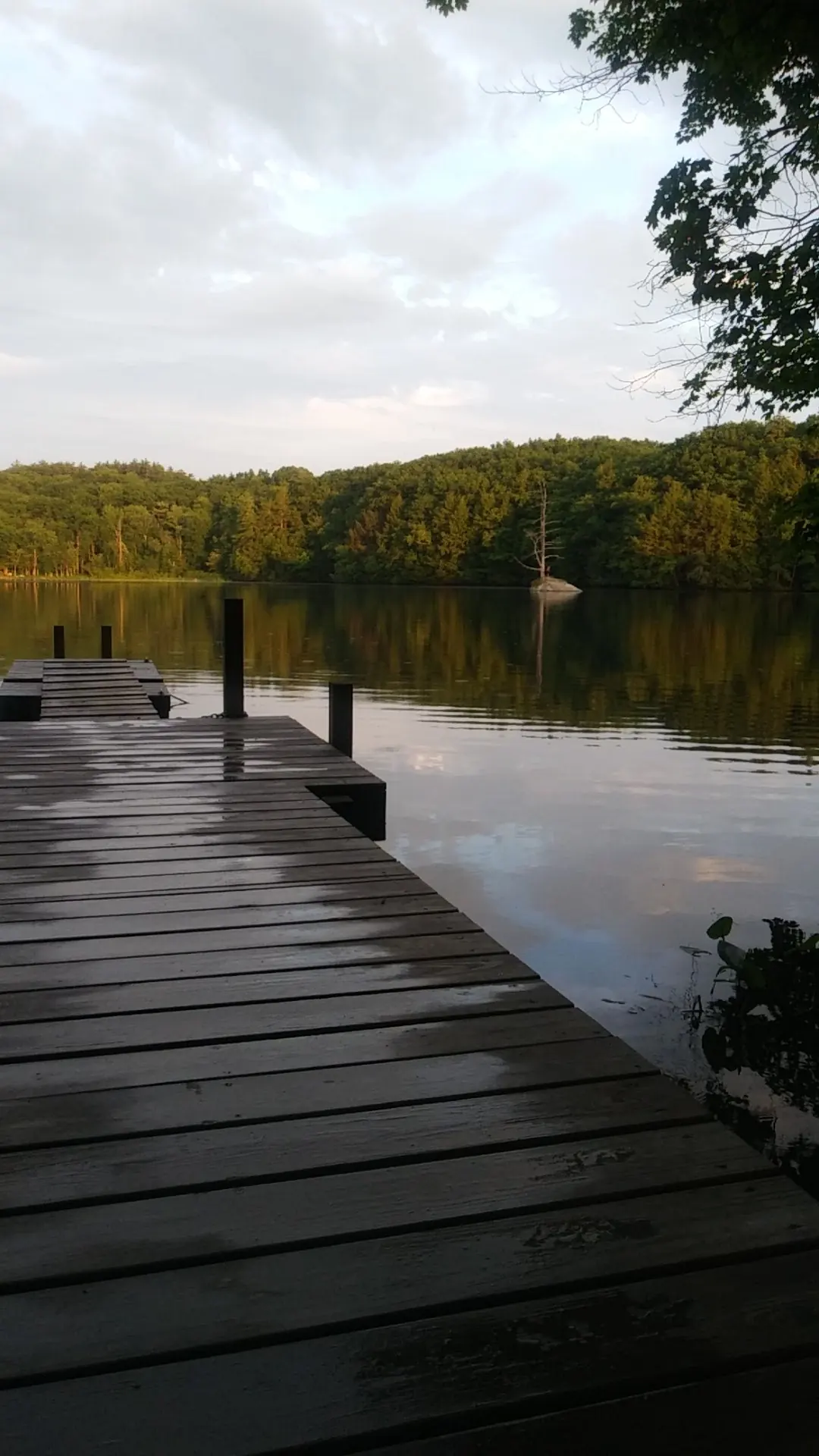
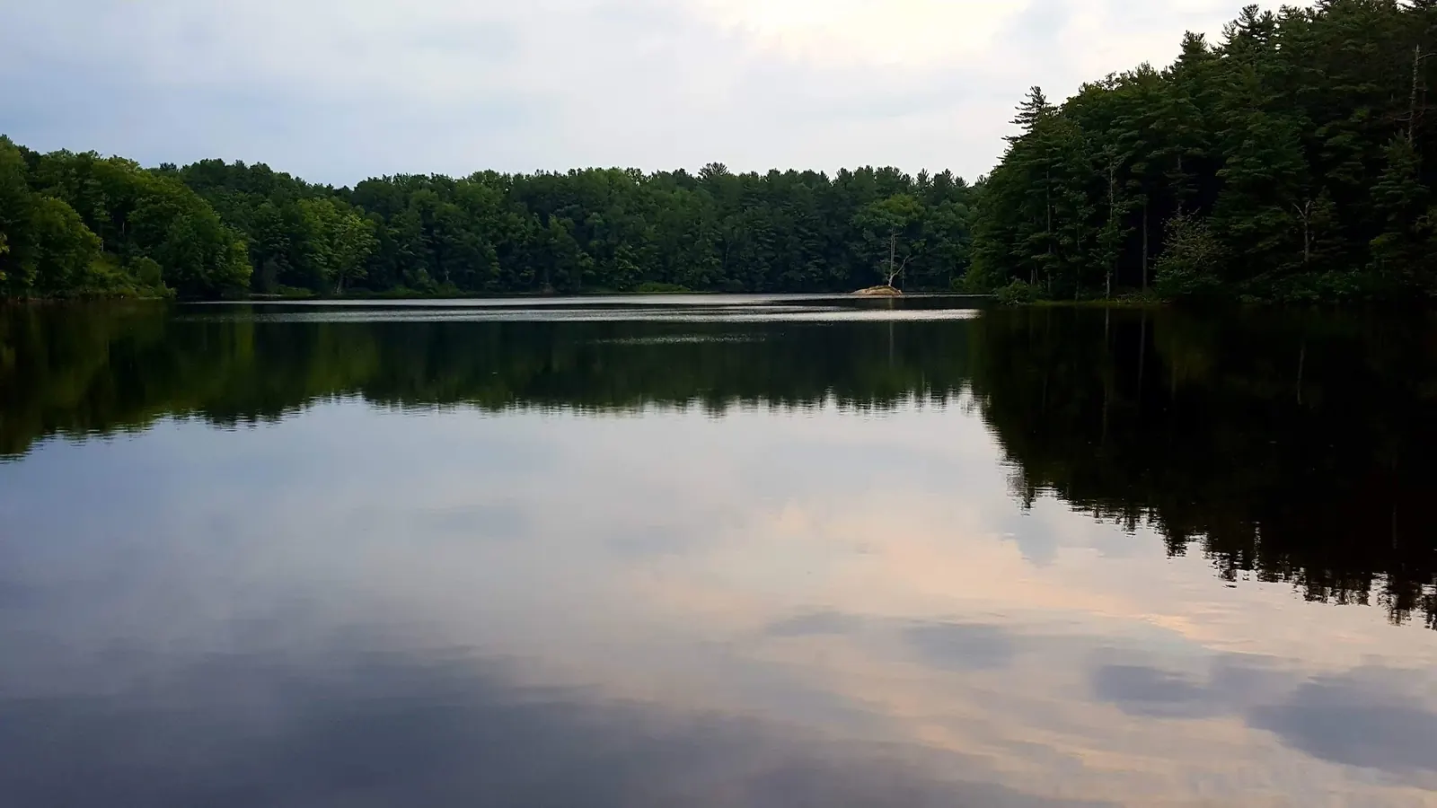
This is a desk-researched listing. A record update or map check does not confirm current swimming permission or water conditions.
Found an error? Send a correction with the location and a source. How we research listings.
The Maine fisheries survey helps identify the South Berwick waterbody. It is a historical document, not a declaration that today's shoreline, dock or parking is public.
Confirm the exact property and intended activity with the relevant owner or manager. Knowing which pond appears on a map does not answer where visitors may park or enter the water. Avoid treating the old road directions as a substitute for that check.
The selected images show wooded reflections and a small rocky island. A dock gives the photograph foreground interest, but it is not evidence of public ownership. Use an authorized viewpoint rather than stepping onto a structure whose permission you have not established.
Fishery measurements and historical access descriptions serve a different purpose from a current swimming advisory. If a swim is the reason for your trip, choose a confirmed operating swimming location until this pond's access can be established.
Confirm Leigh's Mill Pond in South Berwick and the exact permitted approach before traveling. Do not use the old Vine Street turn-by-turn directions as verified public access, or assume that a convenient roadside space is legal parking. The retained coordinate is not a verified public entrance.
Reviewed October 8, 2026: Maine's fisheries document identifies an impoundment of the Great Works River above its Salmon Falls River confluence. It was surveyed in 1956 and revised in 1999, so its access and fishery details are historical, not current swim or bathing-water verification. The old blanket Vine Street parking claim was not freshly corroborated.
Confirm the entrance, parking arrangements, and legal access with the land manager. A map pin does not establish a public right of access. Follow posted routes and never block gates or driveways.
The state fishing survey does not establish current public swimming permission. Its historical access description requires a fresh check with the relevant owner or manager; do not treat a photographed dock as a public entrance. Public park access does not necessarily include permission to swim. Respect private property and posted restrictions.
Water conditions can change quickly. This listing does not provide a current safety or water-quality assessment. Check official alerts and avoid entering water when conditions or permission are uncertain.
Nearby places from saved public map data, not necessarily facilities at the swimming spot. Confirm access, hours, fees, and amenities with the operator before you drive.
Map data retrieved 2026-06-15
Parking lot
Unnamed Road, 31 Academy St, South Berwick, ME 03908
Parking lot
71 Sullivan St, Berwick, ME 03901
Campground
551 School St, Berwick, ME 03901
Hiking area
100 Thurrell Rd, South Berwick, ME 03908
Parking lot
113 Wells St, North Berwick, ME 03906
Hiking area
North Berwick, ME 03906
Park
Berwick, ME 03901
Campground
2245 Main St, Sanford, ME 04073
The historical survey identifies a Great Works River impoundment above the confluence. Confirm the exact pond rather than using a nearby river name interchangeably.
Public ownership and permission were not established. The image is scenery, not an entrance instruction.
No. Its survey and revision dates are 1956 and 1999. Check today's permission, parking and conditions separately.
South Berwick’s history as one of Maine’s earliest settlements and its connection to the Great Works River’s industrial past.
Two reviewed photos show wooded reflections, a dock and a small rocky island with a tree. Neither establishes dock ownership, a public route or permission to land on the island.
Respect neighboring property, use permitted routes, leave surfaces unmarked and carry out rubbish.
Browse every listed natural swimming spot in Maine.
Find similar pool destinations across the directory.
See under-the-radar places and local favorites in the same state.
Compare easier-access destinations and safer planning options.
Use this safety guide before entering any natural water.
Safety & Access Notice
This information is for general planning only and may be incomplete, outdated, or inaccurate. Access rules, closures, water levels, currents, hazards, and legal restrictions can change at any time. Always verify current rules with the land manager or official source before visiting.
You are responsible for your own safety and for following all posted signs, laws, and local regulations. Read the full disclaimer.
No overnight permission established at the pond. Arrange authorized accommodation separately.
Loading weather data…
Safety & Access Notice
This information is for general planning only and may be incomplete, outdated, or inaccurate. Access rules, closures, water levels, currents, hazards, and legal restrictions can change at any time. Always verify current rules with the land manager or official source before visiting.
You are responsible for your own safety and for following all posted signs, laws, and local regulations. Read the full disclaimer.
Joshua Havens created Hidden Swimming Holes to make it easier for people to find — and safely visit — natural freshwater swimming destinations across the United States. He researches access conditions, water quality resources, and land management rules so you don't have to start from scratch. He holds a strong belief that good outdoor recreation information should be accurate, honest about its limitations, and freely available.
Discover other amazing natural swimming destinations across America