Burney Falls Parking Lot
Parking lot
5 (2)
248900 CA-89, Burney, CA 96013

Background: generated illustration, not a photograph of this location.
See reviewed Hatchet Creek waterfall and stream photos, understand conflicting location references, and confirm lawful access before planning a visit.
Swimming permission unconfirmed
Do not interpret a visitor photograph or a map label as permission to cross land or enter the water. Respect barriers and posted restrictions; no jumping route recommended.
Status summarizes our reviewed record, not today's opening or safety. Check current rules, swimming boundaries and notices before visiting.
Location
A closer look
Photos show past visits, not current water levels or swimming conditions. Select a photo to view it larger.
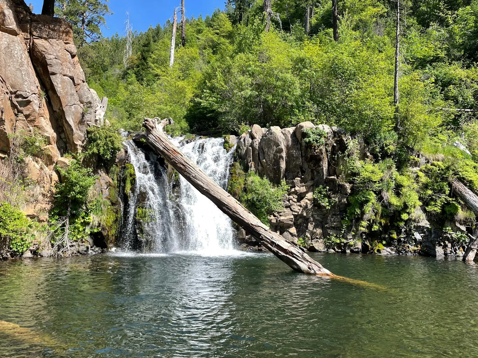
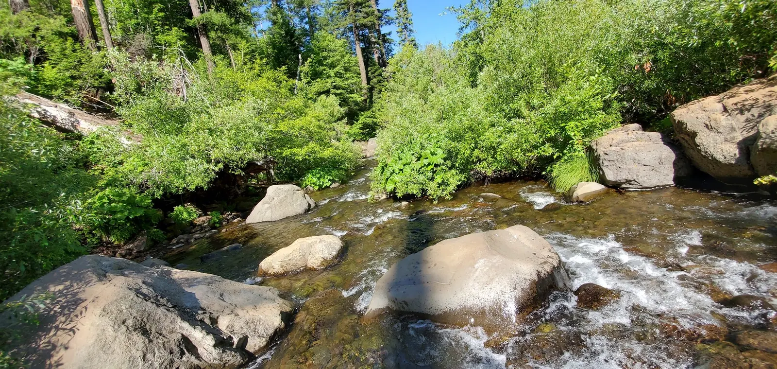
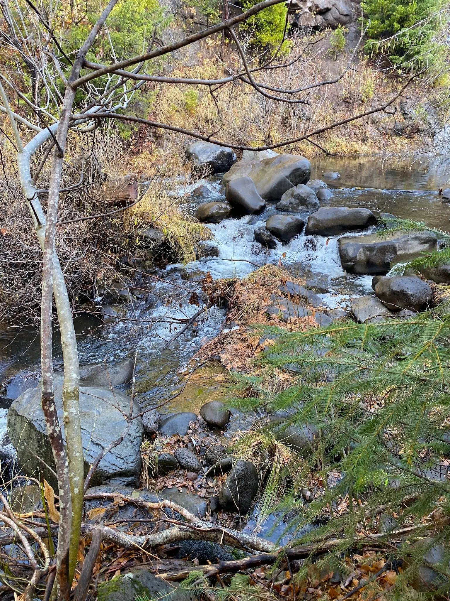
This is a desk-researched listing. A record update or map check does not confirm current swimming permission or water conditions.
Found an error? Send a correction with the location and a source. How we research listings.
The selected saved photos show a waterfall framed by rock and a fallen log, plus two views of flowing water among boulders. They illustrate the creek setting, not current swimming conditions or an approved way down to the water. This page replaces the previous jumping advice with access checks and clear limitations.
The World Waterfall Database distinguishes a formally named downstream feature from the upstream Lion Slide waterfall often given the same name. The listing's historical point and saved Google place point also disagree. Neither is promoted here as a verified parking or water-entry location, and the gallery has not been independently geolocated.
A California proposal summary and Pit River Tribe filing describe a proposed land return including a culturally significant Hatchet Creek section. They do not establish today's ownership status or a public visitor agreement. Obtain current confirmation rather than assuming a popular waterfall is on freely accessible public land.
Identify the exact destination, obtain permission for the intended approach and parking, and check posted restrictions. If those essentials cannot be resolved, choose a destination with documented visitor access. A photograph of a log beside the cascade is not a recommendation to climb it or jump into the pool.
Do not navigate to the existing historical map point as an entrance. It conflicts with the saved Google place coordinate, and neither is a verified visitor-access pin. Confirm the exact waterfall, lawful approach and permitted parking before travel; this page does not provide a turn-by-turn descent route.
A land-return proposal is not a public-access agreement. Current ownership, visitor permission and swimming rules require confirmation; no completed transfer or present closure inferred from historical documents.
Confirm the entrance, parking arrangements, and legal access with the land manager. A map pin does not establish a public right of access. Follow posted routes and never block gates or driveways.
Do not interpret a visitor photograph or a map label as permission to cross land or enter the water. Respect barriers and posted restrictions; no jumping route recommended. Public park access does not necessarily include permission to swim. Respect private property and posted restrictions.
Water conditions can change quickly. This listing does not provide a current safety or water-quality assessment. Check official alerts and avoid entering water when conditions or permission are uncertain.
Nearby places from saved public map data, not necessarily facilities at the swimming spot. Confirm access, hours, fees, and amenities with the operator before you drive.
Map data retrieved 2026-06-15
Parking lot
248900 CA-89, Burney, CA 96013
Hiking area
Pacific Crest Nat'l Scenic Trl, Burney, CA 96013
Campground
Lake Rd, Burney, CA 96013
State park
24898 CA-89, Burney, CA 96013
Forest landscape, marked by a 129-ft. waterfall, for camping, picnicking & hiking.
Campground
Burney, CA 96013
Public bathroom
248900 CA-89, Burney, CA 96013
Visitor center
24898 CA-89, Burney, CA 96013
Visitor center
39477 Lassen National Park Hwy, Shingletown, CA 96088
No. The historical and scraped location references disagree. Neither establishes a lawful parking place or water-entry route.
No. It shows saved scenery, not current land access, water conditions or permission to swim.
No. A proposal does not establish transfer completion or visitor rights. Current access still needs confirmation.
No jumping or log-climbing route is recommended. The photographs do not establish depth, hidden obstacles or a safe exit.
California's proposal summary and a Pit River Tribe filing describe spiritual and ceremonial significance to the Madesi Band. These historical land-return documents are not visitor-rule notices.
Three reviewed saved photos show a waterfall with a fallen log and two rocky stream perspectives. Exact camera locations are not independently geolocated; no visitor portraits or jumping demonstrations included.
Respect cultural significance, private or tribal land, posted boundaries and streamside vegetation.
Browse every listed natural swimming spot in California.
Compare nearby options around Redding before you choose a route.
See under-the-radar places and local favorites in the same state.
Compare easier-access destinations and safer planning options.
Explore waterfall-focused swimming destinations in California.
Use this safety guide before entering any natural water.
Safety & Access Notice
This information is for general planning only and may be incomplete, outdated, or inaccurate. Access rules, closures, water levels, currents, hazards, and legal restrictions can change at any time. Always verify current rules with the land manager or official source before visiting.
You are responsible for your own safety and for following all posted signs, laws, and local regulations. Read the full disclaimer.
No camping permission established for the waterfall area. Arrange any overnight stay separately at a confirmed lawful site.
Loading weather data…
Safety & Access Notice
This information is for general planning only and may be incomplete, outdated, or inaccurate. Access rules, closures, water levels, currents, hazards, and legal restrictions can change at any time. Always verify current rules with the land manager or official source before visiting.
You are responsible for your own safety and for following all posted signs, laws, and local regulations. Read the full disclaimer.
Joshua Havens created Hidden Swimming Holes to make it easier for people to find — and safely visit — natural freshwater swimming destinations across the United States. He researches access conditions, water quality resources, and land management rules so you don't have to start from scratch. He holds a strong belief that good outdoor recreation information should be accurate, honest about its limitations, and freely available.
Discover other amazing natural swimming destinations across America