Animas Mountain East Trailhead
Hiking area
1 mi
4.8 (169)
3269 W 4th Ave, Durango, CO 81301

Background: generated illustration, not a photograph of this location.
Plan an Animas River outing in Durango using the city's access map. Separate verified public river facilities from the unverified historical high-school swimming spot.
Swimming permission unconfirmed
A listed public river access does not establish a designated swimming beach or suitable conditions at the historical hole. Follow current city rules and restrictions, respect private property and do not jump or dive.
Official sources checked:
Location
A closer look
Photos show past visits, not current water levels or swimming conditions. Select a photo to view it larger.
This is a desk-researched listing. A record update or map check does not confirm current swimming permission or water conditions.
Found an error? Send a correction with the location and a source. How we research listings.
Durango's Animas River guidance identifies managed access points, including Oxbow Park, Memorial Park at 29th Street, the Recreation Center and Schneider Park at 9th Street. Choose the intended destination from that map rather than assuming every riverside path is a permitted swim entrance.
The original directory note described a spot behind the high school near West 22nd Street and Alamo Drive, and explicitly left parking uncertain. Current swimming authorization at that exact location has not been established. The retained map point is not a verified entrance.
Official tourism information describes the Animas River Trail as a paved shared-use route through Durango. Walking beside the river is a different activity from entering it. A paved trail does not guarantee an accessible water entry.
The city lists restrooms, changing rooms and small-craft access at Oxbow Park. Those amenities are not attributed to the historical high-school spot. Confirm parking and services at the managed destination you choose.
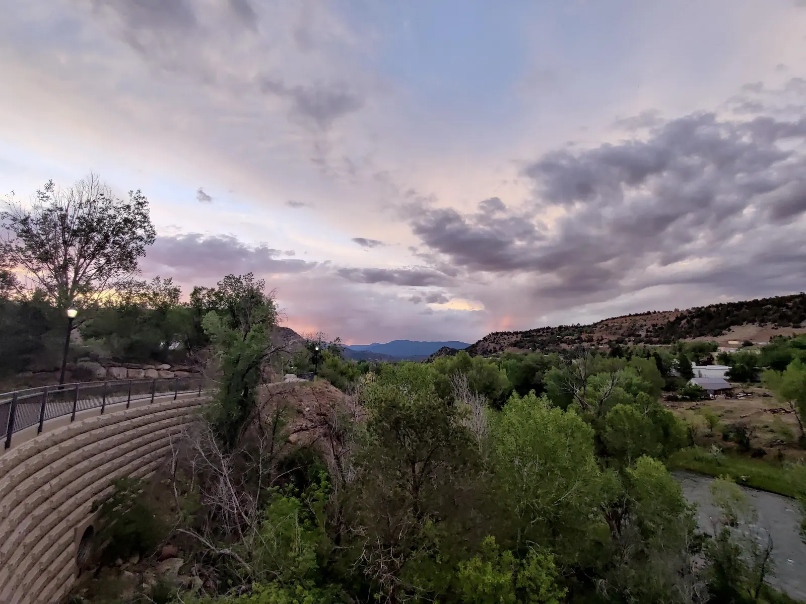
The selected photo shows a riverside path above water at dusk. It does not identify the historical swimming entrance or show current river conditions. Do not use its viewpoint as route guidance or infer water depth and quality from it.
Use Durango's official Animas River access map to identify a managed river destination. The archived directions describe a spot behind the high school near West 22nd Street and Alamo Drive, with parking explicitly uncertain. That route is not endorsed as current swimming access, and the retained map point is not a verified entrance.
The city lists named access points including Oxbow Park, Memorial Park at 29th Street, the Recreation Center and Schneider Park at 9th Street. These are separate destinations, not confirmations of the historical high-school swimming location.
Confirm the entrance, parking arrangements, and legal access with the land manager. A map pin does not establish a public right of access. Follow posted routes and never block gates or driveways.
A listed public river access does not establish a designated swimming beach or suitable conditions at the historical hole. Follow current city rules and restrictions, respect private property and do not jump or dive. Public park access does not necessarily include permission to swim. Respect private property and posted restrictions.
Water conditions can change quickly. This listing does not provide a current safety or water-quality assessment. Check official alerts and avoid entering water when conditions or permission are uncertain.
Nearby places from saved public map data, not necessarily facilities at the swimming spot. Confirm access, hours, fees, and amenities with the operator before you drive.
Map data retrieved 2026-06-15
Hiking area
3269 W 4th Ave, Durango, CO 81301
Parking lot
Parking lot, Durango, CO 81301
Parking lot
209 W College Dr, Durango, CO 81301
Park
501 Camino Del Rio, Durango, CO 81301
Parking lot
21691 US-160, Durango, CO 81301
City government office
15 Burnett Ct, Durango, CO 81302
Public bathroom
109 Larry Valdez Wy, Durango, CO 81301
Campground
United Campgrounds of Durango, 1322 Animas View Dr, Durango, CO 81301
No. The archived note leaves parking uncertain, and current permission at that exact location has not been established.
Use the City of Durango's Animas River access map and confirm the permitted activity at the named destination you select.
No. The official tourism description concerns a shared-use trail, not a verified accessible water-entry route.
No services were verified there. The city separately lists facilities at Oxbow Park, which is a different destination.
The city describes a managed urban river corridor, while the original directory note described an informal spot behind the high school. These are not interchangeable access claims.
One reviewed Durango photo shows a riverside path above water at dusk. It is corridor context, not the verified high-school swimming hole or an endorsed water entrance. Downtown buildings, portraits and an uncertain creek view were excluded.
Follow the city's river-user guidelines, keep waste out of the river and respect private property.
Browse every listed natural swimming spot in Colorado.
Compare nearby options around Durango before you choose a route.
Find similar river destinations across the directory.
See under-the-radar places and local favorites in the same state.
Compare easier-access destinations and safer planning options.
Use this safety guide before entering any natural water.
Safety & Access Notice
This information is for general planning only and may be incomplete, outdated, or inaccurate. Access rules, closures, water levels, currents, hazards, and legal restrictions can change at any time. Always verify current rules with the land manager or official source before visiting.
You are responsible for your own safety and for following all posted signs, laws, and local regulations. Read the full disclaimer.
No authorized campsite at the historical location verified. Arrange camping separately with the actual campground operator.
Loading weather data…
Safety & Access Notice
This information is for general planning only and may be incomplete, outdated, or inaccurate. Access rules, closures, water levels, currents, hazards, and legal restrictions can change at any time. Always verify current rules with the land manager or official source before visiting.
You are responsible for your own safety and for following all posted signs, laws, and local regulations. Read the full disclaimer.
Joshua Havens created Hidden Swimming Holes to make it easier for people to find — and safely visit — natural freshwater swimming destinations across the United States. He researches access conditions, water quality resources, and land management rules so you don't have to start from scratch. He holds a strong belief that good outdoor recreation information should be accurate, honest about its limitations, and freely available.
Discover other amazing natural swimming destinations across America