Deckers Creek Trail: Masontown Trailhead
Hiking area
0.1 mi
4.7 (63)
Sand Bank Rd, Masontown, WV 26542

Background: generated illustration, not a photograph of this location.
Plan Deckers Creek with operator trail rules, gorge-access guidance, five visitor FAQs and four historical photos. Check sample dates before considering water entry.
Location
A closer look
Photos show past visits, not current water levels or swimming conditions. Select a photo to view it larger.
This is a desk-researched listing. A record update or map check does not confirm current swimming permission or water conditions.
Found an error? Send a correction with the location and a source. How we research listings.
The Mon River Trails Conservancy describes Deckers Creek as a 19.5-mile rail-trail from Morgantown. That corridor is not a single swimming destination. Choose your trailhead and intended outing before departure; the retained coordinate is unverified, not a checked water-entry pin.
MRTC rules prohibit camping and campfires on the trail, require pets on a short leash with waste removed, and ask visitors to stop at road crossings and respect private property. Rural stretches have no food, water or restrooms; the operator lists seasonal trailhead restrooms including Masontown. Confirm availability and carry water. These are trail-use details, not permission to descend every creek bank.
The Three Rivers Quest-managed gorge page describes Lions Club pavilion access on Route 7, gravel parking and a steep rocky descent. It identifies an informal, not designated, swimming area. Read current signs and do not use a gallery bank photo as a route instruction.
Friends of Deckers Creek advises against swimming in high flows or directly after rain because sewer overflows can increase pollution, and warns about acid mine drainage. Its monitoring page describes site-specific sampling. Check the gorge result's date and location: periodic samples are not continuous monitoring or clearance for every pool. Do not jump or dive.
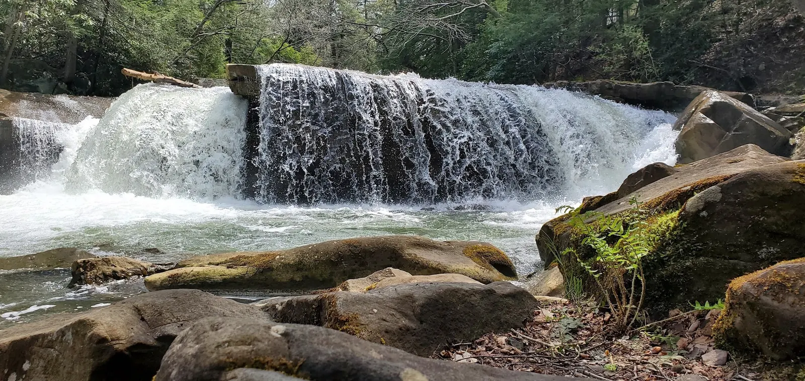
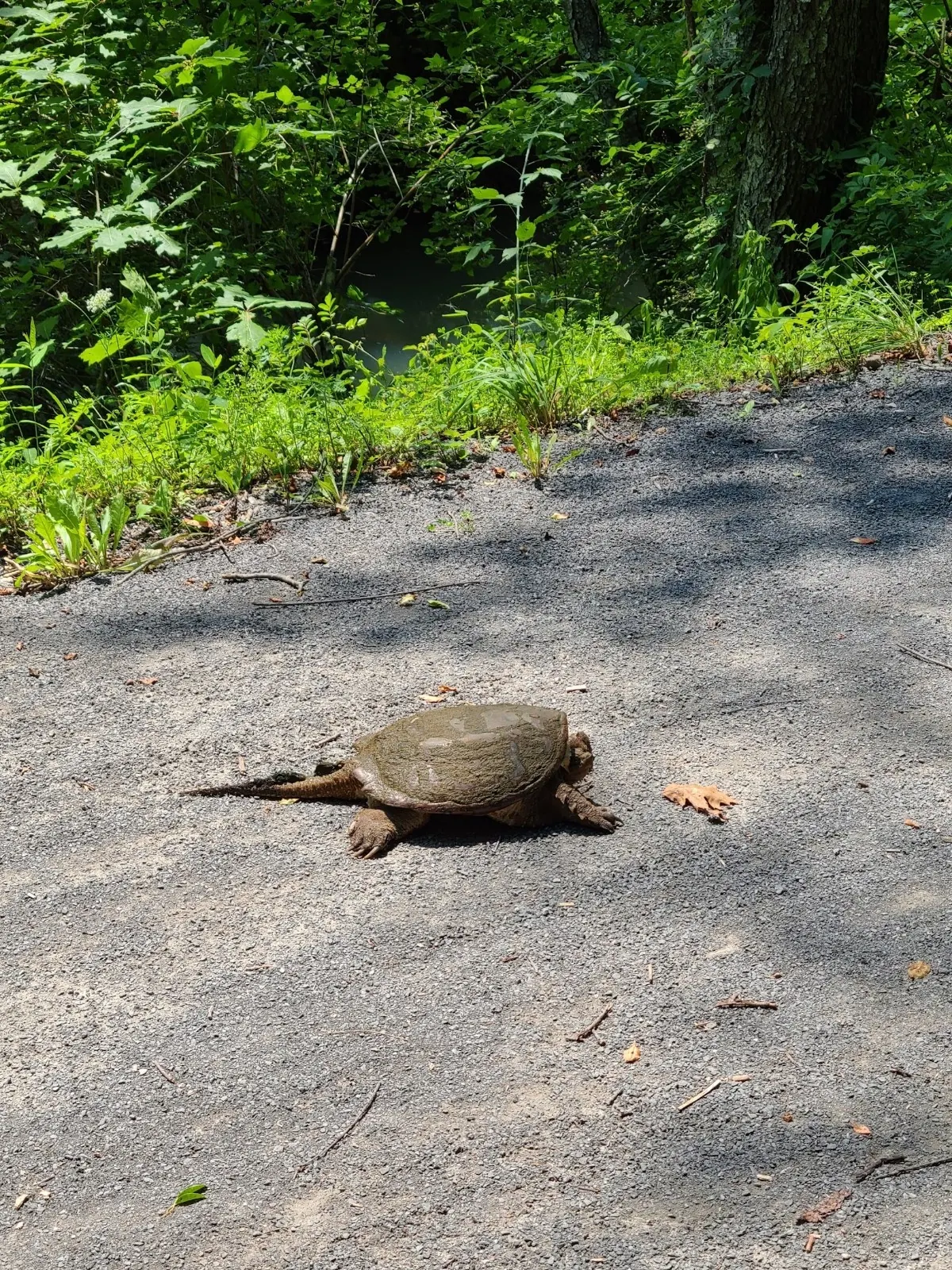
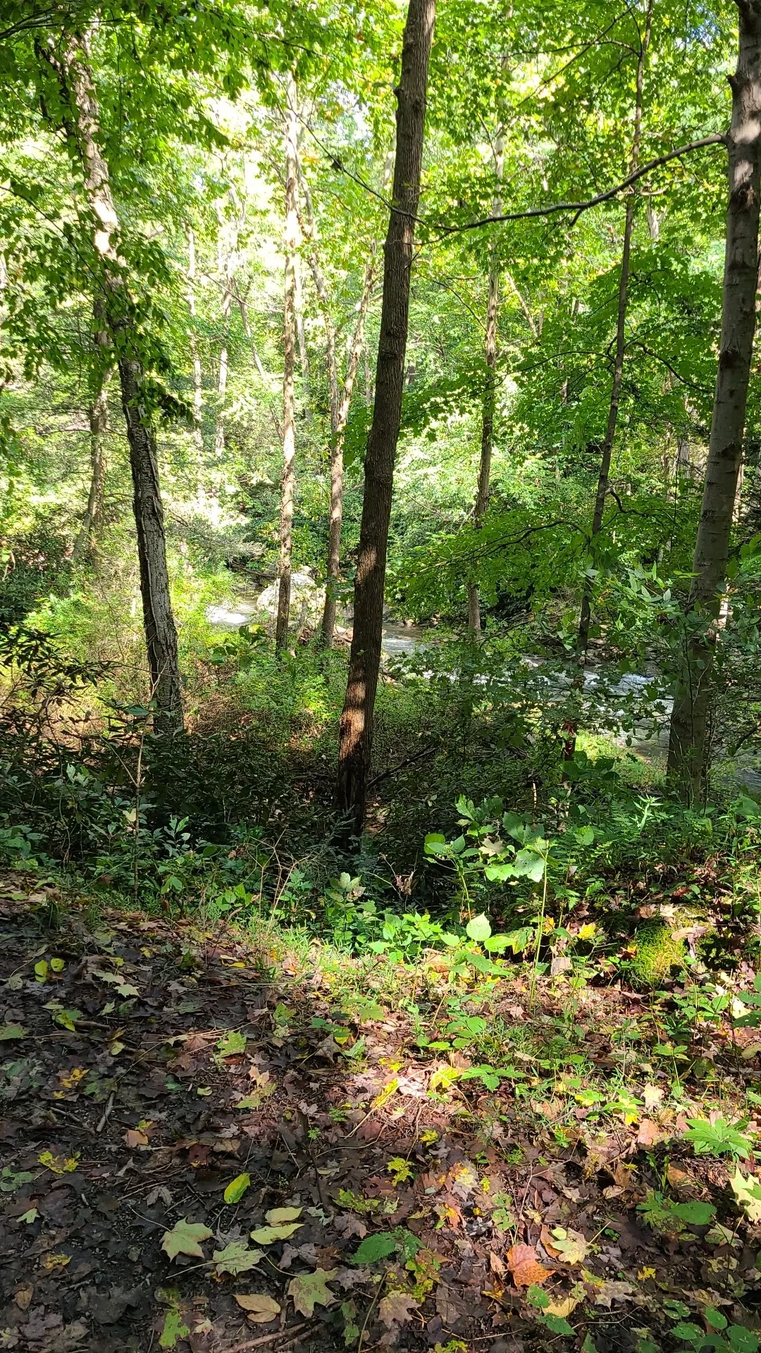
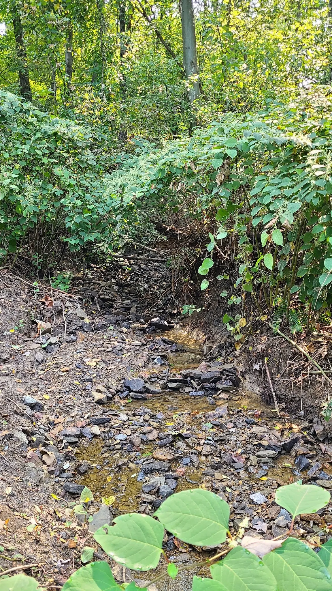
Photos cover cascade, trail wildlife, wooded bank and an unidentified side channel. They provide corridor context, not verified swimming destinations, current water quality or permission to cross private land. When conditions are uncertain, keep the visit to permitted trail recreation.
Consult the Three Rivers Quest-managed Deckers Creek Gorge page for Lions Club pavilion access on Route 7 in Masontown. The creek approach is steep and rocky. Check current signs; rail-trail access is not permission for every creek bank.
Check current signs and dated water-quality results. Rail-trail access and permission to enter the creek are distinct.
Confirm the entrance, parking arrangements, and legal access with the land manager. A map pin does not establish a public right of access. Follow posted routes and never block gates or driveways.
Current swimming permission has not been independently confirmed for this listing. Check official rules, fees, hours, and closures before visiting. Public park access does not necessarily include permission to swim. Respect private property and posted restrictions.
Water conditions can change quickly. This listing does not provide a current safety or water-quality assessment. Check official alerts and avoid entering water when conditions or permission are uncertain.
Bring sturdy water shoes to protect your feet on rocks and slippery surfaces. A waterproof dry bag keeps your phone, keys, and valuables safe. Pack a quick-dry towel, sun protection, and drinking water - never drink from the natural water source.
Nearby places from saved public map data, not necessarily facilities at the swimming spot. Confirm access, hours, fees, and amenities with the operator before you drive.
Map data retrieved 2026-06-15
Hiking area
Sand Bank Rd, Masontown, WV 26542
Trailhead
West Virginia
Campground
Coopers Rock State Forest, 700 Road, Morgantown, WV 26508
Campground
Unnamed Road, Masontown, WV 26542
Public bathroom
E Brockway Ave, Morgantown, WV 26501
Campground
1309 Sand Springs Rd, Morgantown, WV 26508
Checking nearby USGS water conditions…
No. MRTC prohibits both on the trail. This does not establish rules for every neighboring creek bank.
MRTC requires a short leash and removal of pet waste. Follow current signs; trail access is not blanket creek-entry permission.
Do not rely on them. MRTC lists seasonal restrooms at selected trailheads, including Masontown, rather than rural trail stretches. Bring water.
No. Check its collection date and location. A periodic result is not continuous monitoring, a current clearance or coverage of every pool.
No. The retained coordinate is unverified and the historical images show corridor context. Consult documented gorge access and current signs.
Rail-trail corridor beside Deckers Creek.
Four historical images show cascade, trail wildlife, wooded bank and unidentified side channel. Corridor imagery is not a verified swimming entry or today's water conditions.
Pack out litter and respect access signs and private land.
Browse every listed natural swimming spot in West Virginia.
Compare nearby options around Morgantown before you choose a route.
Find similar creeks destinations across the directory.
See under-the-radar places and local favorites in the same state.
Compare easier-access destinations and safer planning options.
Use this safety guide before entering any natural water.
Safety & Access Notice
This information is for general planning only and may be incomplete, outdated, or inaccurate. Access rules, closures, water levels, currents, hazards, and legal restrictions can change at any time. Always verify current rules with the land manager or official source before visiting.
You are responsible for your own safety and for following all posted signs, laws, and local regulations. Read the full disclaimer.
MRTC prohibits camping and campfires on the rail trail. This is a trail rule, not confirmation of permission or restrictions on every nearby creek bank.
Loading weather data…
Safety & Access Notice
This information is for general planning only and may be incomplete, outdated, or inaccurate. Access rules, closures, water levels, currents, hazards, and legal restrictions can change at any time. Always verify current rules with the land manager or official source before visiting.
You are responsible for your own safety and for following all posted signs, laws, and local regulations. Read the full disclaimer.
Joshua Havens created Hidden Swimming Holes to make it easier for people to find — and safely visit — natural freshwater swimming destinations across the United States. He researches access conditions, water quality resources, and land management rules so you don't have to start from scratch. He holds a strong belief that good outdoor recreation information should be accurate, honest about its limitations, and freely available.
Discover other amazing natural swimming destinations across America