Coles Creek State Park
State park
0.3 mi
4.6 (423)
Coles Creek State Park, 13003 NY-37, Waddington, NY 13694
Barbecue grillBasketball courtPicnic tablesPublic restroom

Background: generated illustration, not a photograph of this location.
Plan Coles Creek State Park beach visits with official swimming dates, Route 37 entrance directions, fees and waterfront photos. Check current beach status.
Swimming restriction
Use the designated beach only while lifeguards are on duty. Follow posted closures and check current water-quality notices. A waterfront campsite or marina is not a substitute swimming area.
Official sources checked:
Location
A closer look
Photos show past visits, not current water levels or swimming conditions. Select a photo to view it larger.
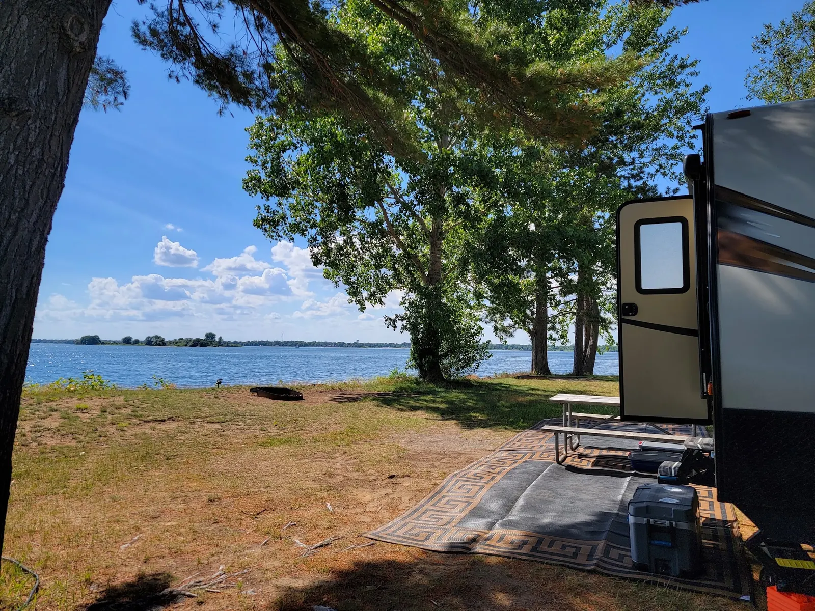
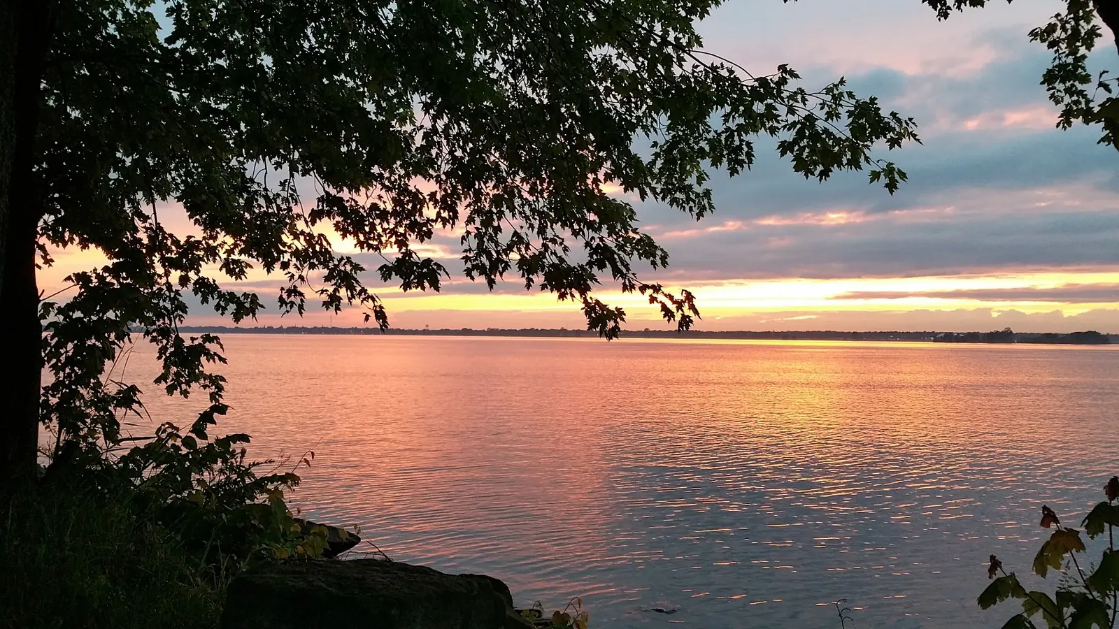
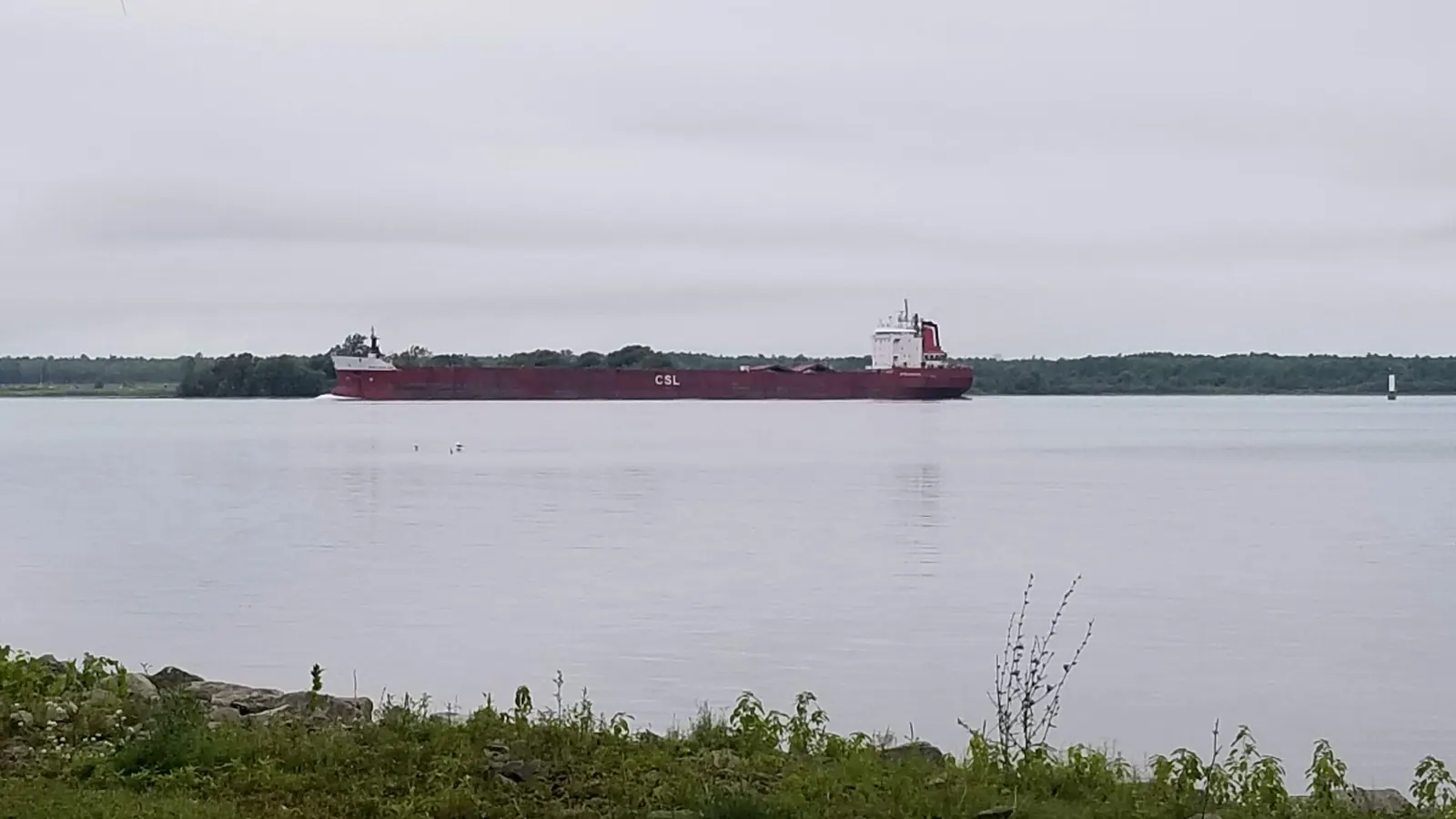
This is a desk-researched listing. A record update or map check does not confirm current swimming permission or water conditions.
Found an error? Send a correction with the location and a source. How we research listings.
The designated beach is on Lake St. Lawrence, not in Coles Creek. Swim only in the designated area when lifeguards are on duty. The marina and boat launch are separate from swimming access.
The published 2026 swimming season ran June 27 through August 22, from 11 a.m. to 7 p.m. Those dates have passed. Check the official park page and call before planning a future swim; park or campground opening dates do not establish beach availability.
Use the main entrance on Route 37 in Waddington. The map pin marks the official main entrance, not the water entry. Follow park signs for the beach. Vehicle entry is listed at $7 during peak periods and $6 off-peak. Camping, showers, picnic facilities and a playground are available; confirm seasonal availability and accessibility with the park.
These photos show a waterfront campsite, sunset and passing freighter. They provide park context, not confirmation of beach conditions or permission to swim from a campsite. A clear designated-beach and access photo is still needed.
Use the official main entrance on Route 37, Waddington, NY 13694. The map pin is an arrival reference, not a swimming-entry coordinate. Follow on-site signs for the designated beach, not the separate marina and boat launch.
The published 2026 swim season ended August 22. Check the next season's schedule before traveling. The map points to the main entrance, not the beach. Ask the park about accessible facilities and routes.
Confirm the entrance, parking arrangements, and legal access with the land manager. A map pin does not establish a public right of access. Follow posted routes and never block gates or driveways.
Use the designated beach only while lifeguards are on duty. Follow posted closures and check current water-quality notices. A waterfront campsite or marina is not a substitute swimming area. Public park access does not necessarily include permission to swim. Respect private property and posted restrictions.
Water conditions can change quickly. This listing does not provide a current safety or water-quality assessment. Check official alerts and avoid entering water when conditions or permission are uncertain.
Bring sturdy water shoes to protect your feet on rocks and slippery surfaces. A waterproof dry bag keeps your phone, keys, and valuables safe. Pack a quick-dry towel, sun protection, and drinking water - never drink from the natural water source.
Nearby places from saved public map data, not necessarily facilities at the swimming spot. Confirm access, hours, fees, and amenities with the operator before you drive.
Map data retrieved 2026-06-15
State park
Coles Creek State Park, 13003 NY-37, Waddington, NY 13694
Public bathroom
41 Stephenville St, Massena, NY 13662
Public wheelchair-accessible bathroom
Unnamed Road, Massena, NY 13662
Campground
15 Smith Rd, Massena, NY 13662
Maritime museum
76 Barnhart Island Rd, Massena, NY 13662
Campground
84 Co Rte 42, Massena, NY 13662
State park
32 Beach Marina Rd, Massena, NY 13662
Trails wind through forests, fields & wetlands, with a beach, picnics & fishing along the river.
Public bathroom
Unnamed Road, Massena, NY 13662
Checking nearby USGS water conditions…
No. The park identifies its swimming beach on Lake St. Lawrence. Use the designated beach, not the marina or campground shoreline.
No. Swimming requires an open designated beach and lifeguards on duty. The published 2026 swimming season ended August 22; confirm future dates directly with the park.
The saved photos show campground and waterfront context, not the designated beach. A beach and access photo is still needed.
Situated near historically significant towns like Ogdensburg and Massena, the park is part of an area rich in European-American settlement history and cross-border cultural exchange.
Waterfront and passing river traffic. Gallery images do not document the designated beach.
The park promotes Leave No Trace principles. Visitors are encouraged to respect wildlife and preserve the natural habitat by disposing of waste responsibly.
Browse every listed natural swimming spot in New York.
Find similar lakes destinations across the directory.
See under-the-radar places and local favorites in the same state.
Compare easier-access destinations and safer planning options.
Use this safety guide before entering any natural water.
Safety & Access Notice
This information is for general planning only and may be incomplete, outdated, or inaccurate. Access rules, closures, water levels, currents, hazards, and legal restrictions can change at any time. Always verify current rules with the land manager or official source before visiting.
You are responsible for your own safety and for following all posted signs, laws, and local regulations. Read the full disclaimer.
Camping at site.
Loading weather data…
Safety & Access Notice
This information is for general planning only and may be incomplete, outdated, or inaccurate. Access rules, closures, water levels, currents, hazards, and legal restrictions can change at any time. Always verify current rules with the land manager or official source before visiting.
You are responsible for your own safety and for following all posted signs, laws, and local regulations. Read the full disclaimer.
Joshua Havens created Hidden Swimming Holes to make it easier for people to find — and safely visit — natural freshwater swimming destinations across the United States. He researches access conditions, water quality resources, and land management rules so you don't have to start from scratch. He holds a strong belief that good outdoor recreation information should be accurate, honest about its limitations, and freely available.
Discover other amazing natural swimming destinations across America