Arch Avenue Public Parking
Parking lot
4.8 (4)
215 W Main St, Waynesboro, VA 22980

Background: generated illustration, not a photograph of this location.
Plan White Rock Falls from The Slacks with trail-option guidance, five FAQs, official Parkway road updates and three historical photos. Water entry remains condition-dependent.
Location
A closer look
Photos show past visits, not current water levels or swimming conditions. Select a photo to view it larger.
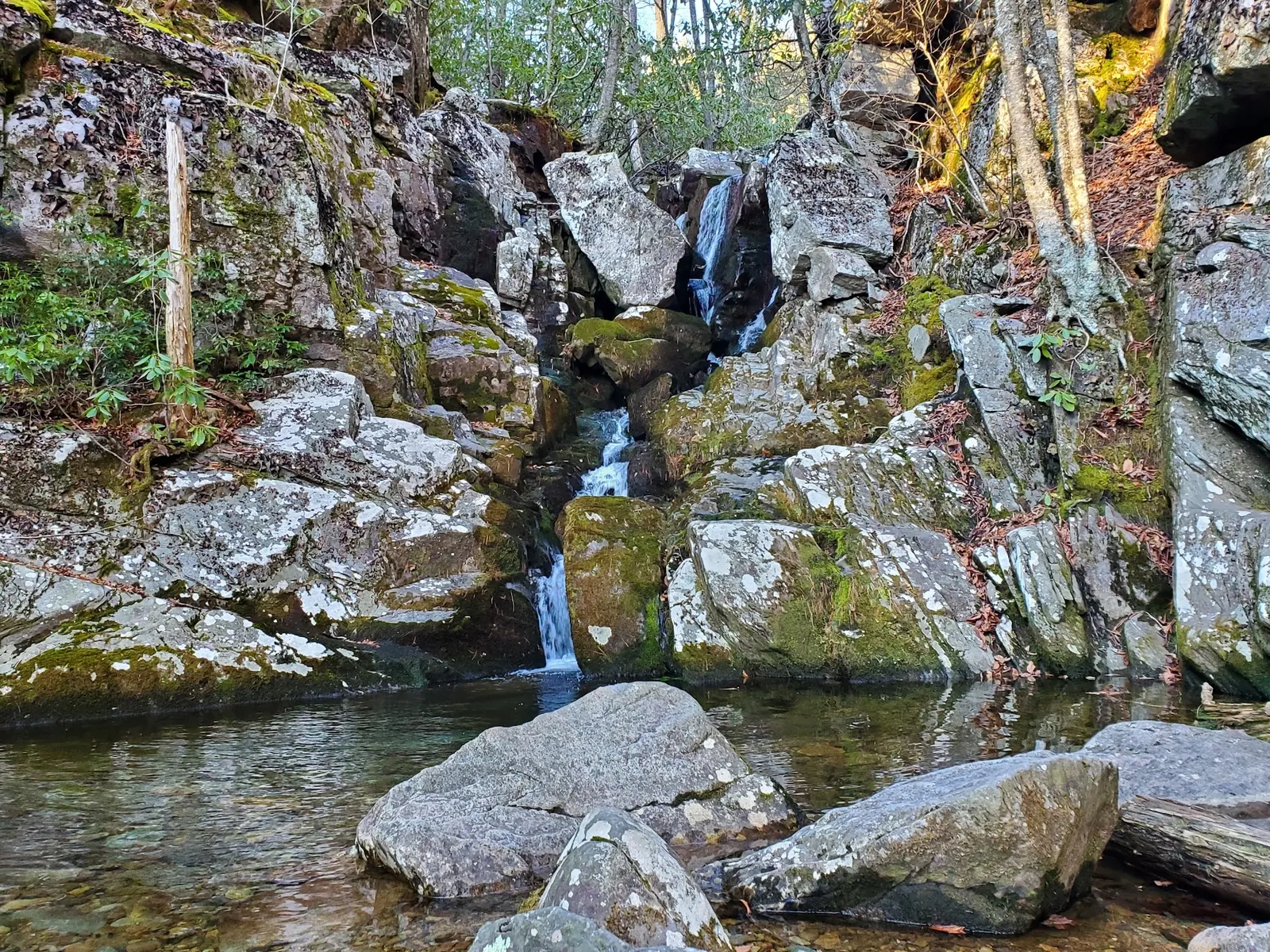
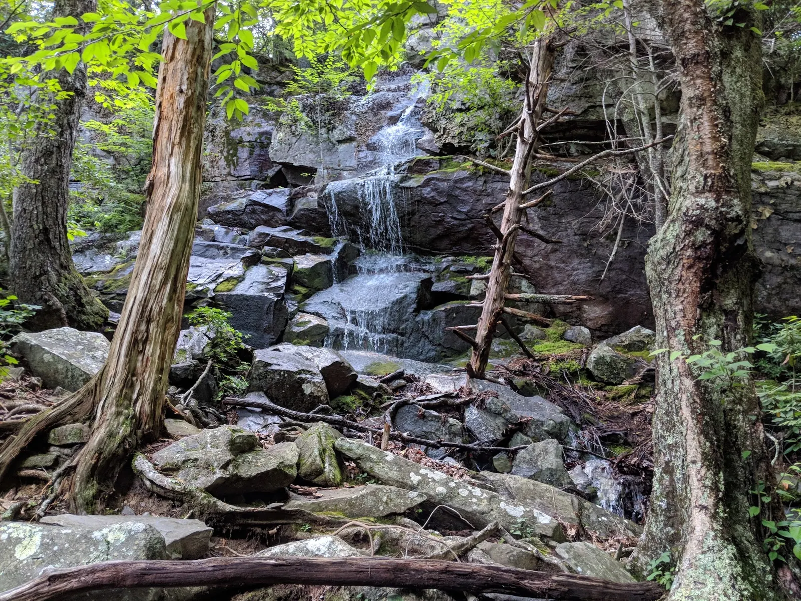
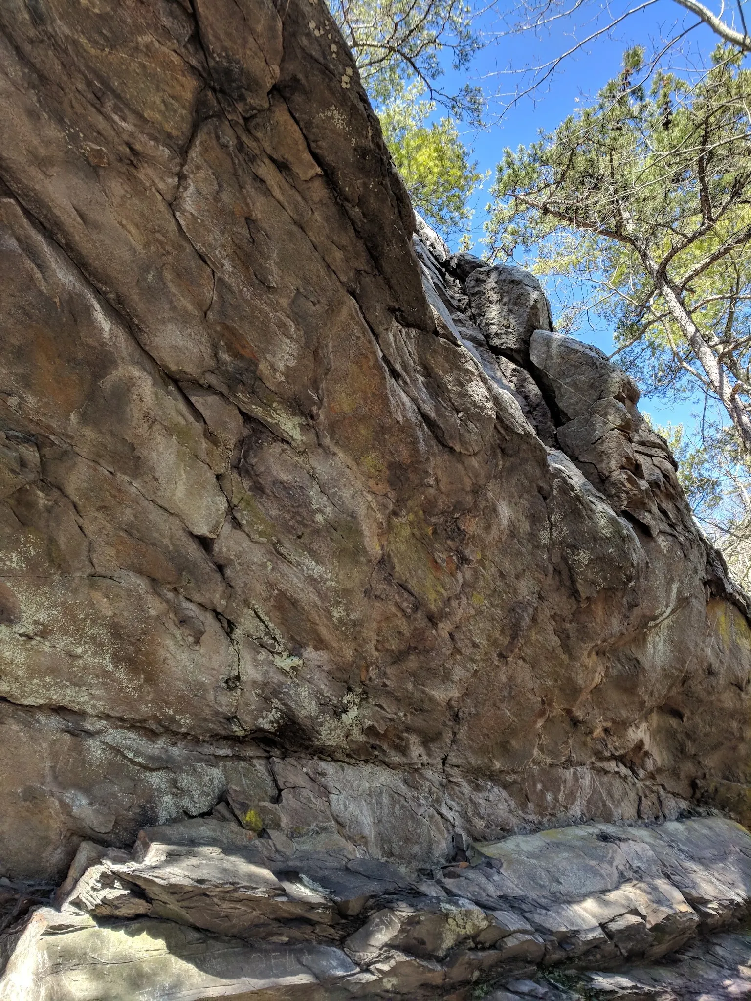
This is a desk-researched listing. A record update or map check does not confirm current swimming permission or water conditions.
Found an error? Send a correction with the location and a source. How we research listings.
The NPS Virginia trail table distinguishes the moderate 0.9-mile White Rock Falls trail at milepost 20 from the 2.9-mile connection at milepost 18.5. Its page is dated November 1, 2024, so use these as route references, not a fresh trail inspection.
Virginia Tourism describes roughly two miles out and back from The Slacks Overlook, across the Parkway. Use a current map and signs to find the trail, cross carefully and stay on the maintained switchback to the waterfall spur. Do not shortcut around the cliff. Allow time for the return climb.
The official road-status page lists mileposts 16.1-27.1 open as of 9 AM October 9, 2026, subject to change. This covers the milepost 20 approach, not a guarantee of future access or swimming permission. Recheck before departure.
Three historical waterfall and gorge images provide scenery context. They do not certify depth, flow, water quality or a climbing route. Do not jump, dive or climb the falls. Bring water and suitable footwear; facilities at the falls remain unconfirmed. The previous town-derived coordinate stays withheld, and separate campground amenities are not part of this hike.
Use The Slacks Overlook near Blue Ridge Parkway milepost 20 for the shorter waterfall outing. Locate the signed White Rock Falls trail across the Parkway with a current map, cross carefully and stay on the maintained switchback and waterfall spur. Do not shortcut around the cliff. Check NPS road notices before travel.
Use the maintained trail and waterfall spur from The Slacks Overlook. Confirm current road and trail notices; do not shortcut around the cliff.
Confirm the entrance, parking arrangements, and legal access with the land manager. A map pin does not establish a public right of access. Follow posted routes and never block gates or driveways.
Current swimming permission has not been independently confirmed for this listing. Check official rules, fees, hours, and closures before visiting. Public park access does not necessarily include permission to swim. Respect private property and posted restrictions.
Water conditions can change quickly. This listing does not provide a current safety or water-quality assessment. Check official alerts and avoid entering water when conditions or permission are uncertain.
Bring sturdy water shoes to protect your feet on rocks and slippery surfaces. A waterproof dry bag keeps your phone, keys, and valuables safe. Pack a quick-dry towel, sun protection, and drinking water - never drink from the natural water source.
Nearby places from saved public map data, not necessarily facilities at the swimming spot. Confirm access, hours, fees, and amenities with the operator before you drive.
Map data retrieved 2026-06-15
Parking lot
215 W Main St, Waynesboro, VA 22980
Parking lot
3487+4R, Waynesboro, VA 22980
Free parking lot
Unnamed Road, Waynesboro, VA 22980
Hiking area
Blue Ridge Pkwy, Vesuvius, VA 24483
Campground
1125 East Side Hwy, Waynesboro, VA 22980
Public bathroom
31 Windigrove Dr, Waynesboro, VA 22980
Visitor center
Milepost 5.8 Blue Ridge Parkway, Lyndhurst, VA 22952
Park
282 Skyline Dr, Waynesboro, VA 22980
No. NPS lists separate 2.9-mile and 0.9-mile trail options. Choose the start and return route deliberately.
Tourism describes roughly two miles out and back. This is an estimate for that approach, not every White Rock trail connection.
Use the NPS Parkway road-status page before departure. Its October 9, 2026 notice lists the relevant section open, subject to change.
No. Open road access does not establish pool depth, tested water quality or permission to enter. Do not jump or dive.
No. Three historical photos show waterfall and gorge scenery. Coordinates remain withheld rather than publishing a town point as the trailhead.
Three historical waterfall and gorge photos illustrate scenery, not current water depth, trail opening, safe climbing or an entrance coordinate.
Practice Leave No Trace principles. Avoid littering, stay on trails, and respect the natural ecosystem to preserve the area’s beauty.
Browse every listed natural swimming spot in Virginia.
Find similar waterfalls destinations across the directory.
See under-the-radar places and local favorites in the same state.
Compare easier-access destinations and safer planning options.
Explore waterfall-focused swimming destinations in Virginia.
Use this safety guide before entering any natural water.
Safety & Access Notice
This information is for general planning only and may be incomplete, outdated, or inaccurate. Access rules, closures, water levels, currents, hazards, and legal restrictions can change at any time. Always verify current rules with the land manager or official source before visiting.
You are responsible for your own safety and for following all posted signs, laws, and local regulations. Read the full disclaimer.
Arrange any overnight stay separately. Nearby campground facilities and reservation policies are not facilities or camping permission at the falls.
Loading weather data…
Safety & Access Notice
This information is for general planning only and may be incomplete, outdated, or inaccurate. Access rules, closures, water levels, currents, hazards, and legal restrictions can change at any time. Always verify current rules with the land manager or official source before visiting.
You are responsible for your own safety and for following all posted signs, laws, and local regulations. Read the full disclaimer.
Joshua Havens created Hidden Swimming Holes to make it easier for people to find — and safely visit — natural freshwater swimming destinations across the United States. He researches access conditions, water quality resources, and land management rules so you don't have to start from scratch. He holds a strong belief that good outdoor recreation information should be accurate, honest about its limitations, and freely available.
Discover other amazing natural swimming destinations across America