South Mountains State Park
State park
3001 S Mountain Park, Connelly Springs, NC 28612
Rugged mountain park with 80-ft. waterfall, 47 miles of trails, trout fishing & equestrian camping.

Background: generated illustration, not a photograph of this location.
Check High Shoals Falls closure, Wards Gap detours and open South Mountains facilities. Plan with current park guidance and a historical photo gallery.
Location
A closer look
Photos show past visits, not current water levels or swimming conditions. Select a photo to view it larger.


This is a desk-researched listing. A record update or map check does not confirm current swimming permission or water conditions.
Found an error? Send a correction with the location and a source. How we research listings.
Reviewed October 9, 2026: High Shoals Falls Trail and its waterfall viewing areas remain closed. This replaces the old guide's recommendation to hike to the falls for a swim. An open park is not the same as an open waterfall route.
The official recovery update lists closed falls access, Headquarters, Shinny and Possum trails, Shinny Creek and Upper Falls backpack sites, and Clear Creek access. It lists the Jacob Fork picnic area, visitor center, tent/trailer/RV and equestrian campgrounds, and most hiking trails as open. Use the current list, not an old trail description, to choose an outing.
The park's current notice reports Wards Gap Road construction beginning October 5 and instructs visitors to follow detours. We removed unsupported turn-by-turn driving instructions. The map now uses the operator's Jacob Fork visitor-center reference, not the old Morganton town point and not a surveyed water entry. The trail catalog describes High Shoals Falls Loop as 2.7 miles and strenuous, but that description does not reopen it. Its older Clear Creek reopening sentence also does not override the current construction closure.
No current alternative swimming location was established by this review. Do not use old photos to bypass barriers or infer safe water access. The state's waterfall guidance says to remain on developed trails and observation areas, avoid climbing waterfalls and never jump or dive into plunge pools. Four selected historical photos add scenery and route-sign context only. They are not evidence that the pictured trail, deck or water is open today.
Day use has no admission fee, while camping and reservations have separate charges. October park hours are listed as 7 a.m. to 9 p.m.; the visitor center has its own schedule. Pets must be on an attended leash no longer than six feet and cannot enter buildings. For specific services and routes, contact the visitor center at 828-433-4772 and check the official facilities guidance. Do not extend an open campground's status to a closed trail or campsite.
Use the official Jacob Fork address at 3001 South Mountain Park Avenue, Connelly Springs. Wards Gap Road construction began October5,2026; follow posted detour instructions. Do not follow archived directions into closed High Shoals Falls trails or use closed Clear Creek access.
Current park banner closes the entire High Shoals Falls Trail and viewing areas until further notice. Clear Creek access is also closed for construction. Park remains open with other facilities available.
Confirm the entrance, parking arrangements, and legal access with the land manager. A map pin does not establish a public right of access. Follow posted routes and never block gates or driveways.
Current swimming permission has not been independently confirmed for this listing. Check official rules, fees, hours, and closures before visiting. Public park access does not necessarily include permission to swim. Respect private property and posted restrictions.
Water conditions can change quickly. This listing does not provide a current safety or water-quality assessment. Check official alerts and avoid entering water when conditions or permission are uncertain.
Nearby places from saved public map data, not necessarily facilities at the swimming spot. Confirm access, hours, fees, and amenities with the operator before you drive.
Map data retrieved 2026-06-15
State park
3001 S Mountain Park, Connelly Springs, NC 28612
Rugged mountain park with 80-ft. waterfall, 47 miles of trails, trout fishing & equestrian camping.
Hiking area
6680 Bakers Mountain Rd, Hickory, NC 28602
Campground
4361 Whitener Dr, Hickory, NC 28602
District government office
109 E Lawing Dr, Nebo, NC 28761
Tourist information center
1055 Southgate Corporate Park SW, Hickory, NC 28602
Public bathroom
Hickory, NC 28602
Public bathroom
W78C+97X, Lenoir, NC 28645
Tourist information center
1600 Pisgah Hwy, Pisgah Forest, NC 28768
No. The current park notice closes High Shoals Falls Trail and the waterfall viewing areas until further notice.
Do not plan water entry via the closed falls route. The old swimming recommendation has been withdrawn; no current alternative swimming location was established.
No. The recovery update lists most Jacob Fork hiking trails, the picnic area, visitor center and several campgrounds as open. Check the specific facility.
The current official notice says it is closed for construction. An older reopening sentence in the trail catalog is not current clearance.
The park reports Wards Gap Road work beginning October5,2026, lasting several weeks. Follow current detour instructions rather than archived driving turns.
The catalog lists High Shoals Falls Loop as a strenuous 2.7-mile loop. It is currently closed, so that mileage is not a visit recommendation.
Several campgrounds are listed open, but some backpack sites remain closed. Check booking details. Pets need an attended leash of six feet or less and cannot enter buildings.
No. It is the park's published Jacob Fork visitor-center reference, not the falls or a verified water entry.
No additional historical claims verified in this review.
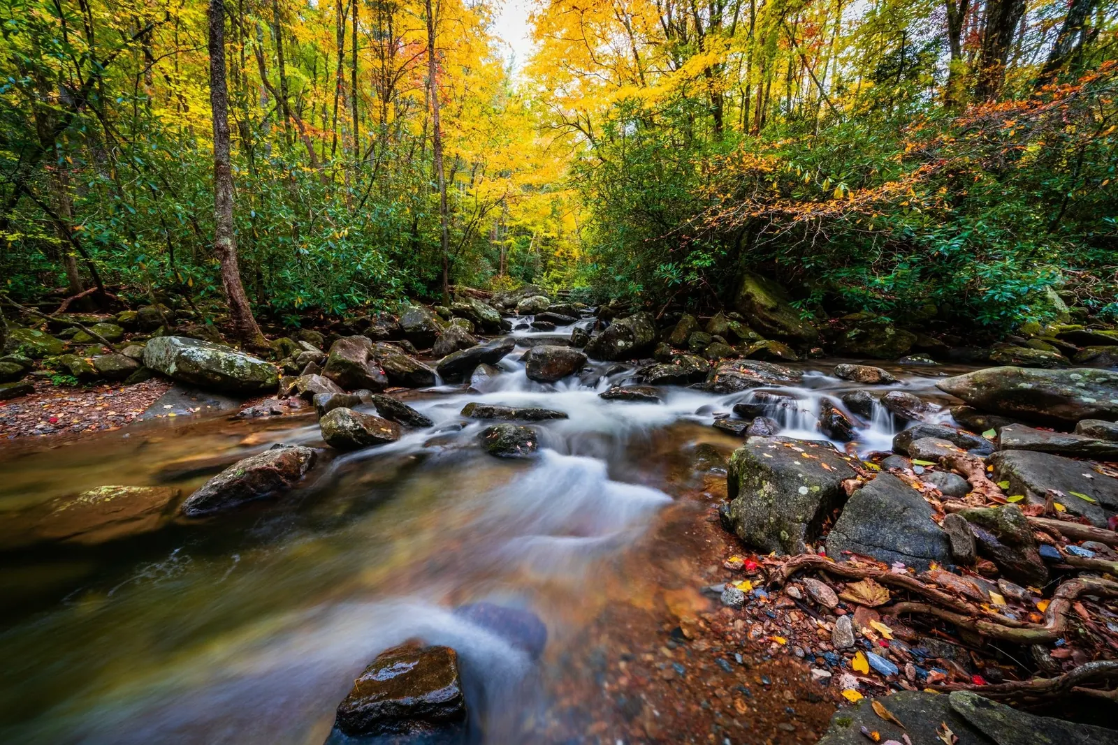
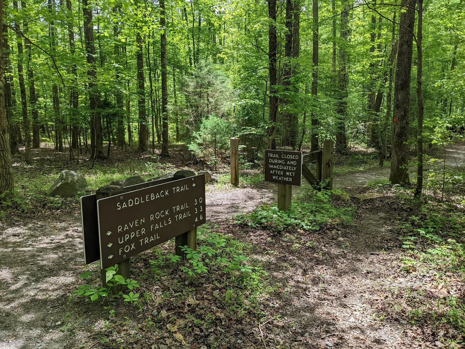
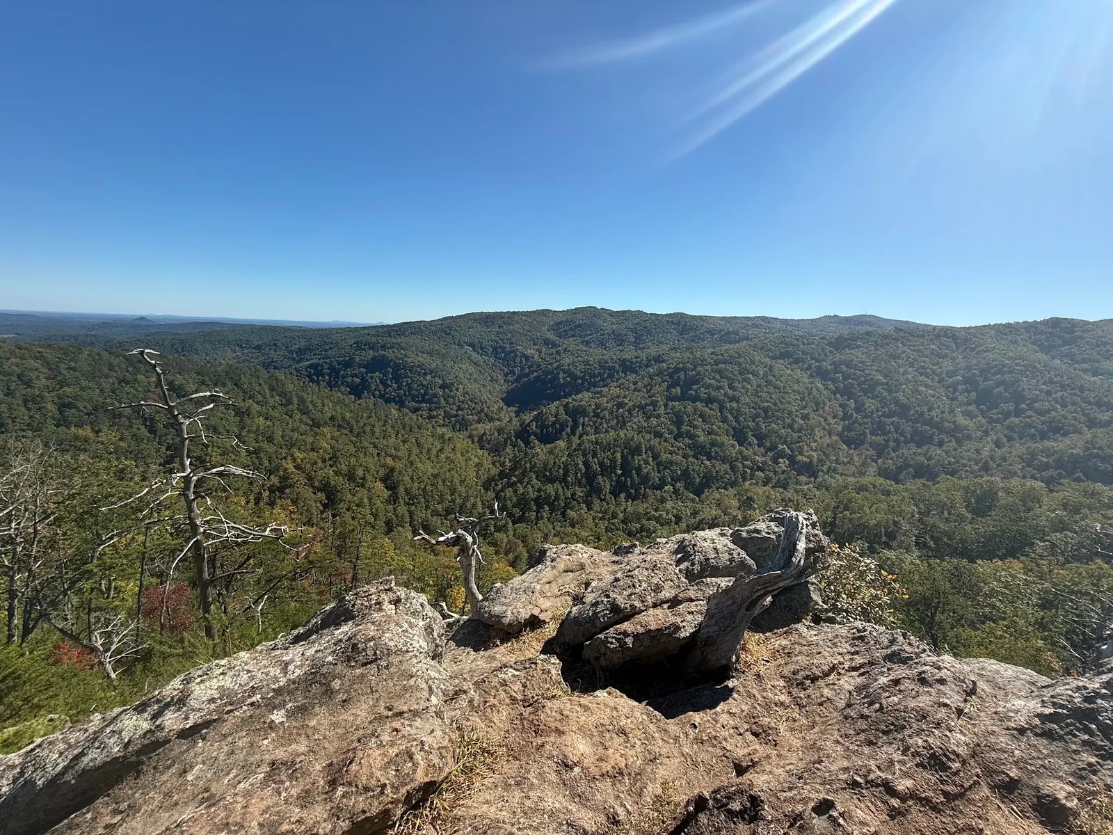
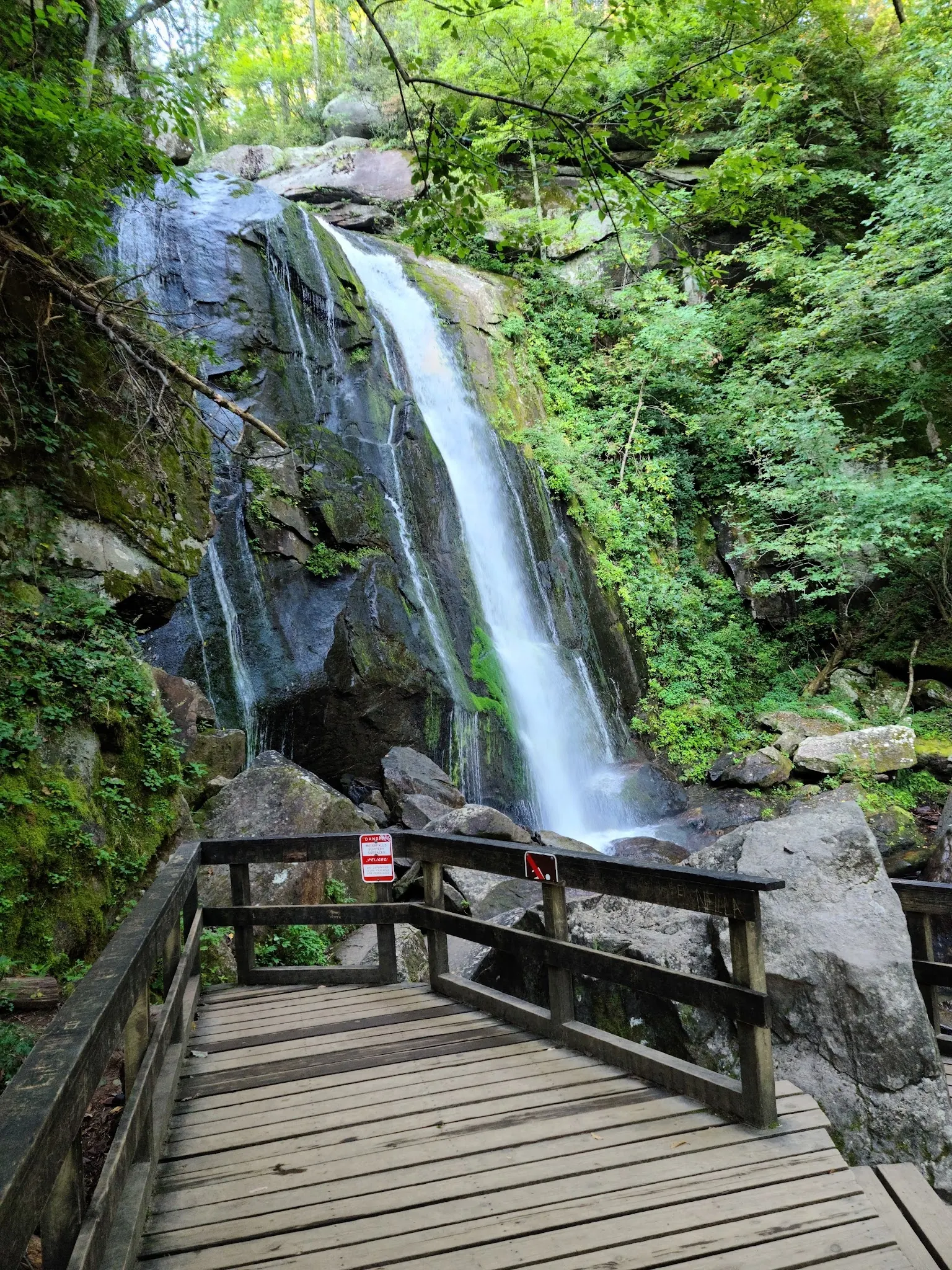
Four historical collection views show waterfall warning signs, an autumn stream, trail junction and mountain scenery. They do not establish current route condition, reopening or water permission.
Stay out of recovery work areas, respect reroutes and carry out litter.
Browse every listed natural swimming spot in North Carolina.
Compare nearby options around Asheville before you choose a route.
See under-the-radar places and local favorites in the same state.
Compare easier-access destinations and safer planning options.
Explore waterfall-focused swimming destinations in North Carolina.
Use this safety guide before entering any natural water.
Safety & Access Notice
This information is for general planning only and may be incomplete, outdated, or inaccurate. Access rules, closures, water levels, currents, hazards, and legal restrictions can change at any time. Always verify current rules with the land manager or official source before visiting.
You are responsible for your own safety and for following all posted signs, laws, and local regulations. Read the full disclaimer.
Tent/trailer/RV and equestrian campgrounds and selected backpack sites are listed open. Shinny Creek and Upper Falls backpack sites remain closed. Reroutes changed some hike-in distances; use current booking and trail guidance.
Loading weather data…
Safety & Access Notice
This information is for general planning only and may be incomplete, outdated, or inaccurate. Access rules, closures, water levels, currents, hazards, and legal restrictions can change at any time. Always verify current rules with the land manager or official source before visiting.
You are responsible for your own safety and for following all posted signs, laws, and local regulations. Read the full disclaimer.
Joshua Havens created Hidden Swimming Holes to make it easier for people to find — and safely visit — natural freshwater swimming destinations across the United States. He researches access conditions, water quality resources, and land management rules so you don't have to start from scratch. He holds a strong belief that good outdoor recreation information should be accurate, honest about its limitations, and freely available.
Discover other amazing natural swimming destinations across America