Salmon River Park, Parking
Park
5 (12)
208-234 River Rd, Colchester, CT 06415
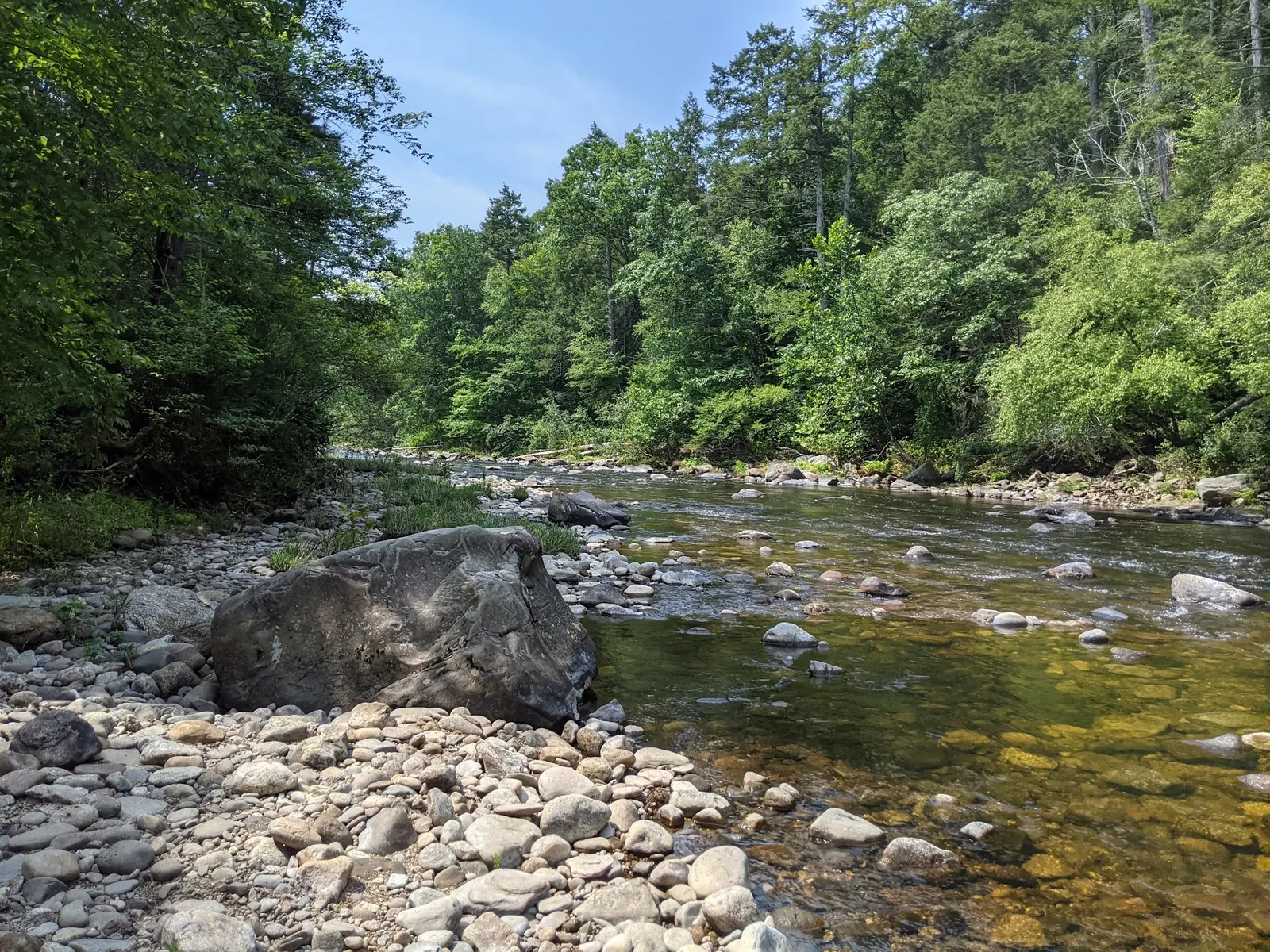
Background photo from a past visit, not current conditions. View photos and source links
Explore Salmon River forest scenery, plan a covered-bridge walk and check river access. Find a separate designated swimming beach at nearby Day Pond State Park.
Swimming permission unconfirmed
Confirm river swimming permission and current conditions with DEEP. Nearby Day Pond has a separately designated swimming beach; that does not authorize entry at this river coordinate. Do not use rope swings or jump from bridges.
Official sources checked:
Location
A closer look
Photos show past visits, not current water levels or swimming conditions. Select a photo to view it larger.
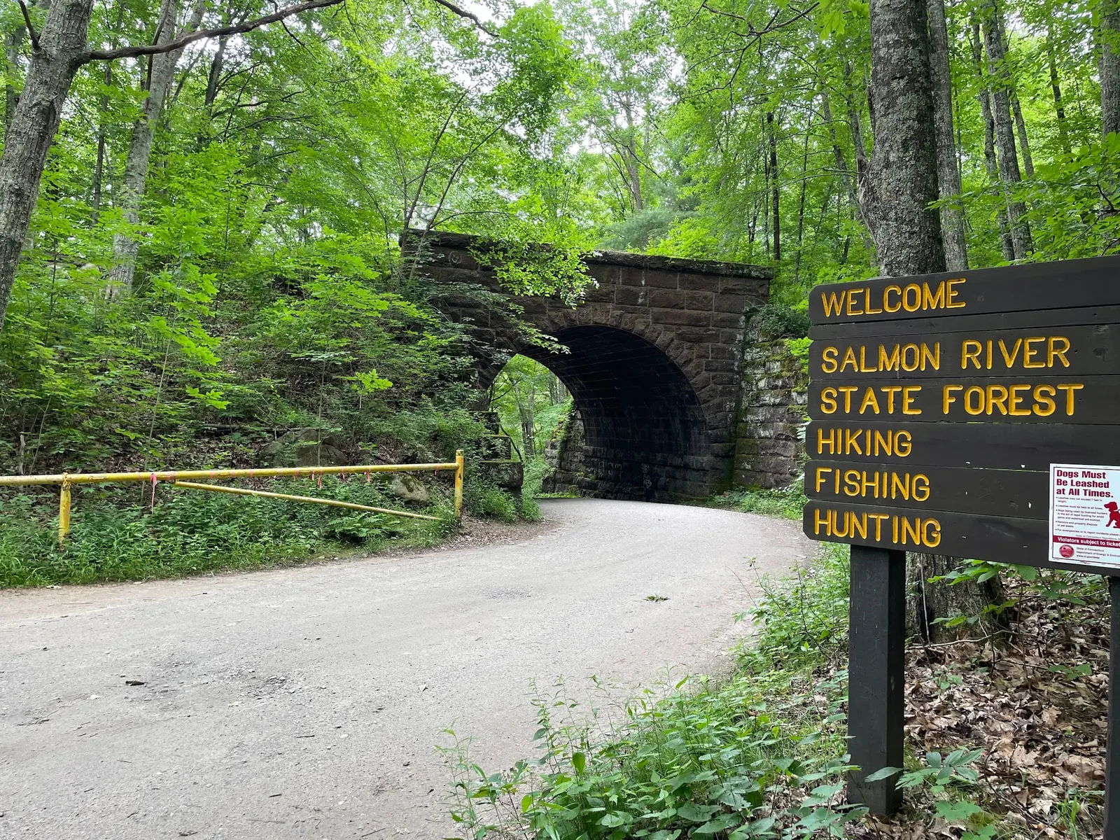
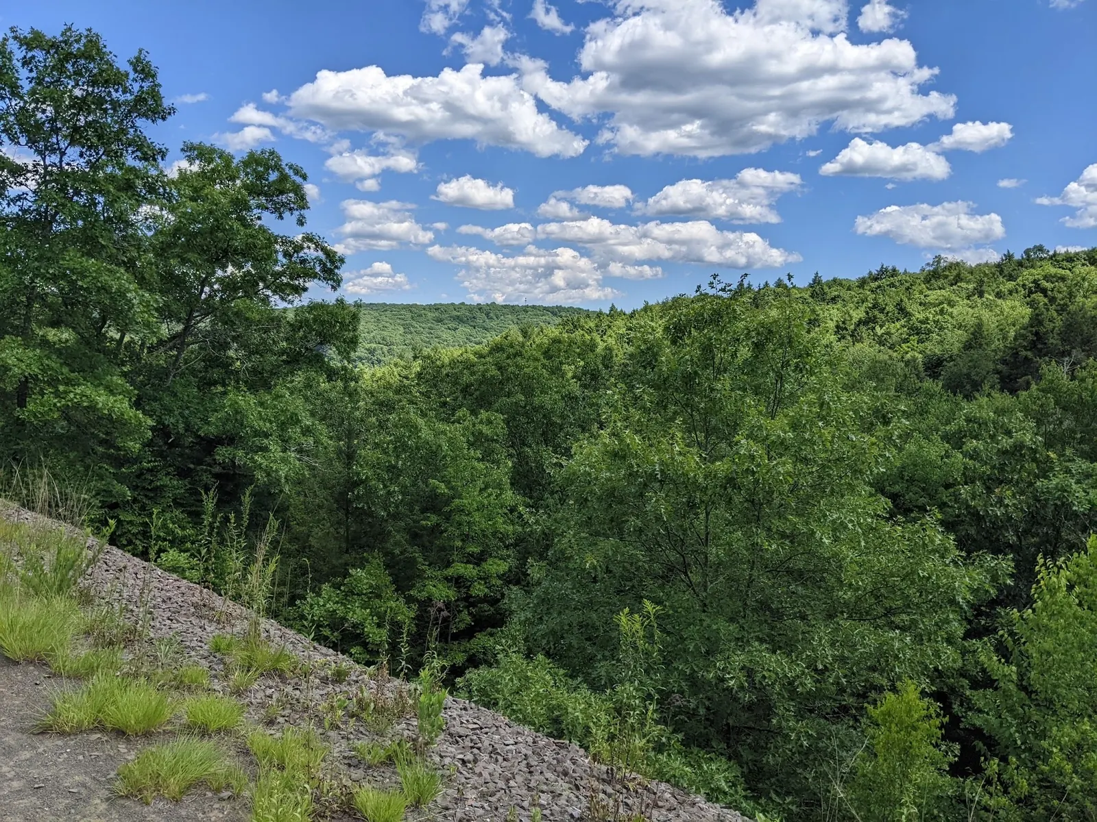
This is a desk-researched listing. A record update or map check does not confirm current swimming permission or water conditions.
Found an error? Send a correction with the location and a source. How we research listings.
Salmon River makes a useful starting point for a woodland outing, but a riverside walk and a swimming-beach visit are different plans. Decide which you want before choosing parking, packing equipment or setting a route.
The state forest page provides maps and information for walking, fishing and picnicking. A covered-bridge visit can be considered separately from a longer trail outing. Match your route to the available daylight and your group's ability instead of assuming every destination is a short stroll from the same parking place.
The gallery previews wooded banks and flowing water. It does not verify a suitable entry, safe depth or permission to swim. The legacy map marker is not a confirmed water entrance. Leave the old rope-swing advice behind and stay on authorized approaches.
For a swimming-focused outing, check Day Pond State Park. Its beach is a separate destination, not a pool at this river marker. Consult its seasonal access information, water-quality report and beach rules before travel, then navigate to that park rather than trying to reach it from a riverbank.
Take drinking water, suitable footwear and a route map. Keep a dry-land plan ready when conditions do not support water recreation. Use available picnic facilities without assuming a shelter will be reserved for you, supervise children near banks and take rubbish home.
Use the state forest map to select a named destination, such as the covered-bridge walking area, and its authorized parking. Do not treat the retained coordinate as a verified swimming entrance or follow the old bridge-base water-entry directions.
The forest lists daily access from 8 a.m. to sunset. Dogs must be leashed. Check current notices and the specific route before departure.
Confirm the entrance, parking arrangements, and legal access with the land manager. A map pin does not establish a public right of access. Follow posted routes and never block gates or driveways.
Confirm river swimming permission and current conditions with DEEP. Nearby Day Pond has a separately designated swimming beach; that does not authorize entry at this river coordinate. Do not use rope swings or jump from bridges. Public park access does not necessarily include permission to swim. Respect private property and posted restrictions.
Water conditions can change quickly. This listing does not provide a current safety or water-quality assessment. Check official alerts and avoid entering water when conditions or permission are uncertain.
Nearby places from saved public map data, not necessarily facilities at the swimming spot. Confirm access, hours, fees, and amenities with the operator before you drive.
Map data retrieved 2026-06-15
Park
208-234 River Rd, Colchester, CT 06415
Parking lot
280 Bull Hill Rd, Colchester, CT 06415
Hiking area
Colchester, CT 06415
State park
Route 16, Colchester, CT 06415
Sprawling destination for outdoor recreation such as hiking, fishing, field sports & hunting.
Hiking area
167 Lebanon Ave, Colchester, CT 06415
Campground
9 Markham Rd, East Hampton, CT 06424
Campground
FMM6+Q2, Colchester, CT 06415
Campground
135 Lake Rd, Bozrah, CT 06334
No designated beach at this marker was established. Confirm river permission and current conditions before considering water entry.
Day Pond State Park lists a swimming beach. Check that park's seasonal access and water-quality information and navigate there separately.
It depends on your route. The 6.7-mile forest trail should not be used as the distance to every viewpoint.
The official forest page lists free entry. Separate activity requirements still need checking.
Historically, the Salmon River was a vital resource for Native American tribes and early settlers. Its name reflects the salmon that historically thrived in its waters, offering sustenance and economic value to the region.
Reviewed images show a rocky wooded river, the state forest sign and woodland. They do not locate a designated swimming entrance.
Visitors should adhere to Leave No Trace principles by minimizing their impact on the environment. Avoid disturbing wildlife and ensure all trash is packed out. Respect the natural flora and waterways.
Browse every listed natural swimming spot in Connecticut.
Compare nearby options around Hartford before you choose a route.
Find similar river destinations across the directory.
See under-the-radar places and local favorites in the same state.
Compare easier-access destinations and safer planning options.
Use this safety guide before entering any natural water.
Safety & Access Notice
This information is for general planning only and may be incomplete, outdated, or inaccurate. Access rules, closures, water levels, currents, hazards, and legal restrictions can change at any time. Always verify current rules with the land manager or official source before visiting.
You are responsible for your own safety and for following all posted signs, laws, and local regulations. Read the full disclaimer.
No campsite at the retained river point was verified. Arrange an authorized overnight option separately.
Loading weather data…
Safety & Access Notice
This information is for general planning only and may be incomplete, outdated, or inaccurate. Access rules, closures, water levels, currents, hazards, and legal restrictions can change at any time. Always verify current rules with the land manager or official source before visiting.
You are responsible for your own safety and for following all posted signs, laws, and local regulations. Read the full disclaimer.
Joshua Havens created Hidden Swimming Holes to make it easier for people to find — and safely visit — natural freshwater swimming destinations across the United States. He researches access conditions, water quality resources, and land management rules so you don't have to start from scratch. He holds a strong belief that good outdoor recreation information should be accurate, honest about its limitations, and freely available.
Discover other amazing natural swimming destinations across America