Owens Creek Waterfall
Tourist attraction
2 mi
4.4 (94)
Natchez Trace Pkwy, Hermanville, MS 39086

Background: generated illustration, not a photograph of this location.
Explore Owens Creek Falls at Natchez Trace milepost 52.4 with reviewed photos, intermittent-flow context, erosion cautions and nearby Rocky Springs camping details.
Swimming permission unconfirmed
The reviewed Parkway compendium names specific swimming closures elsewhere, not Owens Creek. This does not establish a maintained swimming area, safe pool or current permission at this entry. Ask NPS and respect posted restrictions.
Official sources checked:
Location
A closer look
Photos show past visits, not current water levels or swimming conditions. Select a photo to view it larger.
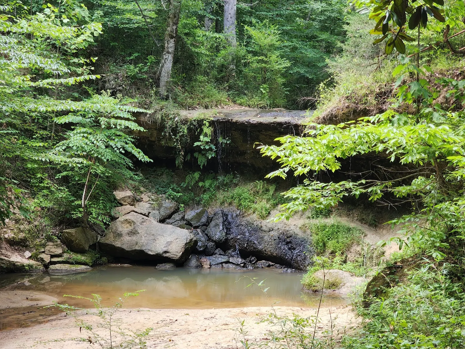
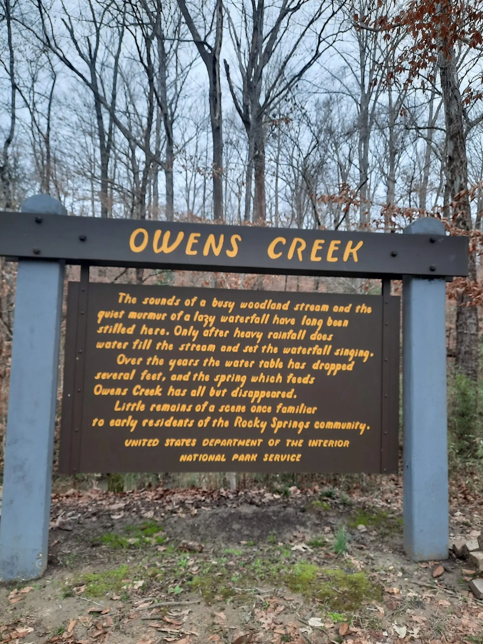
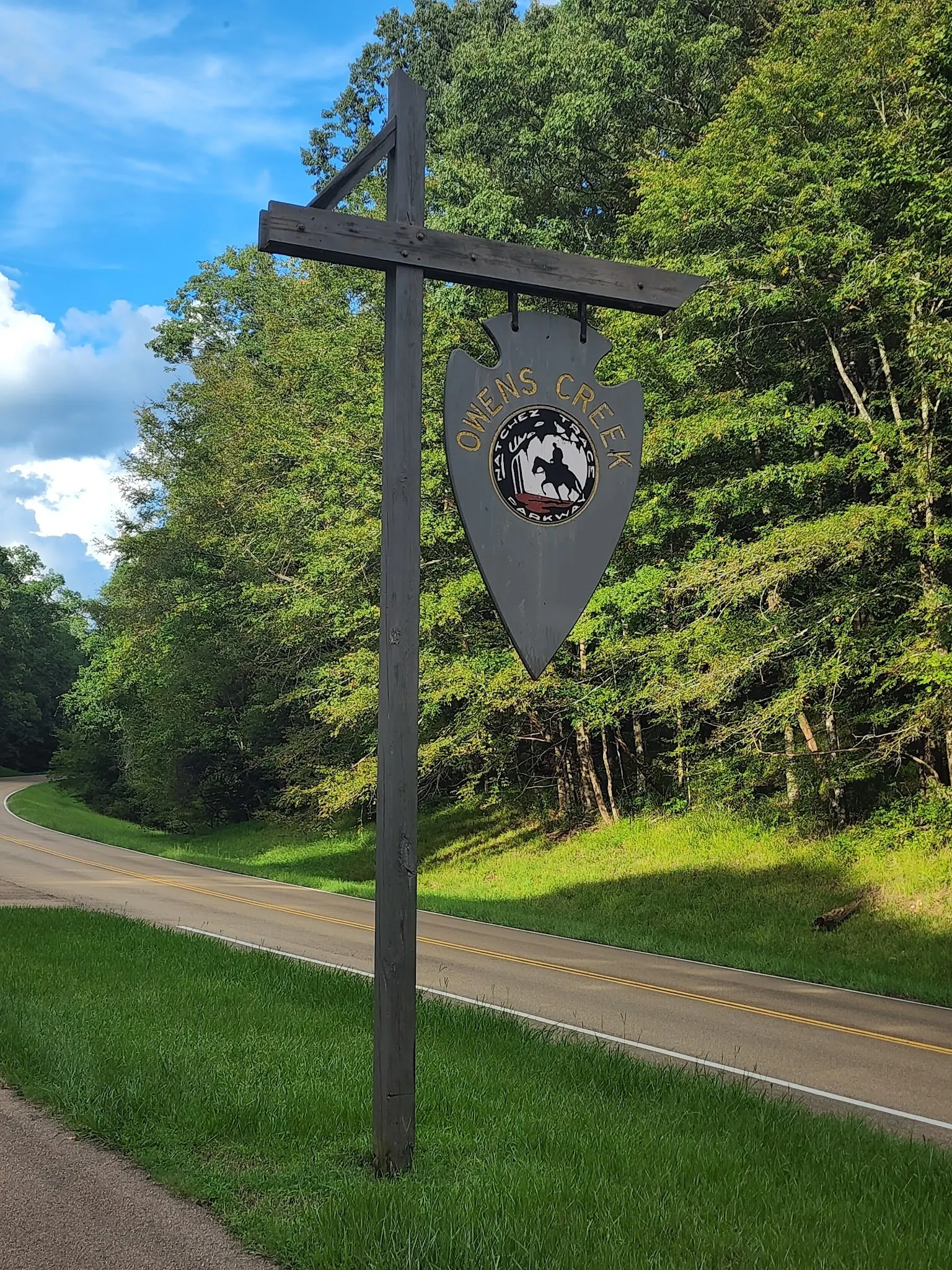
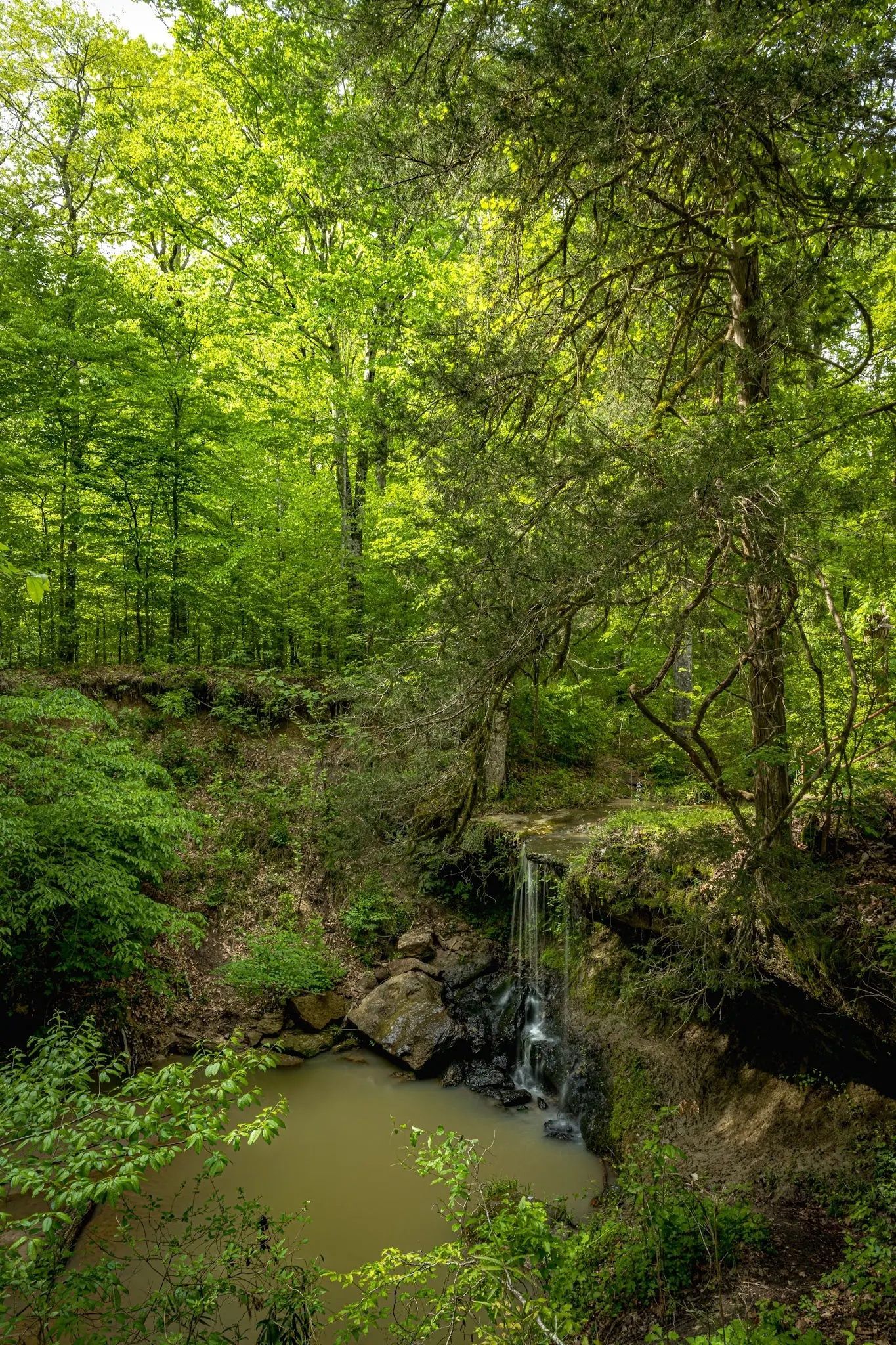
This is a desk-researched listing. A record update or map check does not confirm current swimming permission or water conditions.
Found an error? Send a correction with the location and a source. How we research listings.
Owens Creek is a signed Natchez Trace Parkway stop at milepost 52.4. The gallery shows a low rock ledge beneath trees, with differing amounts of water in historical views. The photographed NPS interpretive panel explains diminished spring flow and rainfall-dependent water. The former promise of a constantly flowing, cool summer swimming pool was not supported.
The NPS hiking guide identifies Owens Creek as the southern trail access and warns of erosion. Use open signed paths rather than the old stepping-stone crossing or cave-side detour. The retained historical map pin is not a verified parking or water-entry location.
The Parkway compendium names swimming closures at other locations, but does not designate Owens Creek as a maintained swimming area. Its absence from that list is not a current assessment of this pool. Ask NPS about permitted activities and follow posted restrictions; depth, flow and water quality were not verified.
Rocky Springs Campground is at milepost 54.8, not ten miles away as the old listing claimed. NPS campground information describes first-come camping without reservations or hookups. Camping is not allowed on this trail or at its trailheads. The site-status notice, updated October 7, 2026 and checked October 9, says campground comfort-station water is non-potable. Bring your own drinking water and recheck alerts before travel.
Use the signed Owens Creek hiking stop at Natchez Trace Parkway milepost 52.4, near Port Gibson, for trip planning. NPS identifies this as the southern end of the Rocky Springs trail section. Check current alerts and use open signed paths; the former stepping-stone crossing and cave-side detour are not a verified current route. Historical coordinates remain unverified as parking or water entry.
NPS warns that the Owens Creek trailhead area can be unstable due to erosion. Its broader Rocky Springs hiking page describes steep ridges and ravines, not a universally accessible waterfall approach. No current cave entry or creek-crossing itinerary verified.
Confirm the entrance, parking arrangements, and legal access with the land manager. A map pin does not establish a public right of access. Follow posted routes and never block gates or driveways.
The reviewed Parkway compendium names specific swimming closures elsewhere, not Owens Creek. This does not establish a maintained swimming area, safe pool or current permission at this entry. Ask NPS and respect posted restrictions. Public park access does not necessarily include permission to swim. Respect private property and posted restrictions.
Water conditions can change quickly. This listing does not provide a current safety or water-quality assessment. Check official alerts and avoid entering water when conditions or permission are uncertain.
Nearby places from saved public map data, not necessarily facilities at the swimming spot. Confirm access, hours, fees, and amenities with the operator before you drive.
Map data retrieved 2026-06-15
Tourist attraction
Natchez Trace Pkwy, Hermanville, MS 39086
RV park
Port Gibson, MS 39150
Hiking area
Port Gibson, MS 39150
Campground
3026 US-61, Port Gibson, MS 39150
Tourist attraction
12006 Grand-Gulf Rd, Port Gibson, MS 39150
Public bathroom
8065 Old Port Gibson Rd, Hazlehurst, MS 39083
Tourist attraction
5068 US-61, Rolling Fork, MS 39159
Not reliably. The photographed NPS interpretive panel describes reduced spring flow and rainfall-dependent water. A waterfall photograph does not establish present flow or a usable swimming pool.
NPS identifies it at Natchez Trace Parkway milepost 52.4 near Port Gibson. Use signed open access and current alerts; our historical coordinates are not verified as a water entry.
No camping is allowed on the Rocky Springs trail or at its trailheads. Plan separately for the campground at milepost 54.8 and confirm current availability and rules.
The NPS site-status page checked October 9, 2026 warns that campground comfort-station water is non-potable. Bring drinking water and check whether the notice has changed before your visit.
No designated swimming area or current entry clearance was verified. The absence of Owens Creek from a list of named closures is not proof of safe conditions or maintained swimming access.
Owens Creek marks the southern trail access for the Rocky Springs section of the Natchez Trace National Scenic Trail. Its photographed interpretive panel relates diminished spring flow to the area's changing water table.
Four reviewed historical images show the wooded ledge at differing flow, an Owens Creek interpretive panel and a named Parkway stop sign. They are scenery and planning references, not today's pool-depth or access assessment.
Stay on authorized paths and respect closures in eroded terrain. Do not carve new routes to the ledge or enter the overhang to reproduce a photograph.
Browse every listed natural swimming spot in Mississippi.
Compare nearby options around Jackson before you choose a route.
Find similar waterfalls destinations across the directory.
See under-the-radar places and local favorites in the same state.
Compare easier-access destinations and safer planning options.
Explore waterfall-focused swimming destinations in Mississippi.
Safety & Access Notice
This information is for general planning only and may be incomplete, outdated, or inaccurate. Access rules, closures, water levels, currents, hazards, and legal restrictions can change at any time. Always verify current rules with the land manager or official source before visiting.
You are responsible for your own safety and for following all posted signs, laws, and local regulations. Read the full disclaimer.
No camping on the Rocky Springs trail or at its trailheads. Use the separate Rocky Springs Campground at milepost 54.8: NPS describes no-fee, first-come camping without reservations, hookups, showers or a dump station. Availability and current restrictions require rechecking. The former ten-mile distance claim was incorrect.
Loading weather data…
Safety & Access Notice
This information is for general planning only and may be incomplete, outdated, or inaccurate. Access rules, closures, water levels, currents, hazards, and legal restrictions can change at any time. Always verify current rules with the land manager or official source before visiting.
You are responsible for your own safety and for following all posted signs, laws, and local regulations. Read the full disclaimer.
Joshua Havens created Hidden Swimming Holes to make it easier for people to find — and safely visit — natural freshwater swimming destinations across the United States. He researches access conditions, water quality resources, and land management rules so you don't have to start from scratch. He holds a strong belief that good outdoor recreation information should be accurate, honest about its limitations, and freely available.
Discover other amazing natural swimming destinations across America