
Nottoway Falls Park
Park
4.4 (72)
The Falls Rd, Crewe, VA 23930

Background: generated illustration, not a photograph of this location.
Plan a Nottoway Falls visit with lake swimming restrictions, rutted-road guidance, town contacts, five practical FAQs and four reviewed scenery photos.
Swimming permission unconfirmed
The town-linked lake regulations prohibit swimming in Nottoway Falls Lake. They do not establish a verified permitted downstream swimming area. Confirm current signage and the precise location with the town.
Official sources checked:
Status summarizes our reviewed record, not today's opening or safety. Check current rules, swimming boundaries and notices before visiting.
Location
A closer look
Photos show past visits, not current water levels or swimming conditions. Select a photo to view it larger.
This is a desk-researched listing. A record update or map check does not confirm current swimming permission or water conditions.
Found an error? Send a correction with the location and a source. How we research listings.
The Town of Victoria owns this Lunenburg County property and allows public visits at visitors' own risk. Natural rock ledges, the lake and a man-made dam share the landscape, but they are not one unrestricted swimming area. The town attributes the dam to the Virginian Railway in the early 1920s.
The town still links its lake regulations image, inspected during our October 4, 2026 review. It prohibits lake swimming and camping. This is lake-specific evidence, not confirmation of a legal downstream swimming boundary. Ask the town about the exact area you intend to visit and obey current signs. No recommended swimming entrance or entry pin is published. Do not enter water near the dam.
Virginia DWR lists 5036 Falls Road, Victoria, VA 23974, and directs visitors toward The Falls Boat Ramp on Marshall Town Road. The unpaved parking approach has deep ruts and potholes; high clearance is recommended. Check conditions before committing to the road. Parking and boat-launch facilities do not establish a swimming beach, toilets or an accessible water entry.
DWR lists free daily visitor access from sunrise to sunset and warns of possible temporary closures. Fishing hours on the lake sign should not be substituted for general visiting hours. Contact the Town of Victoria at 434-696-2343 to confirm access and the precise activity you are planning.
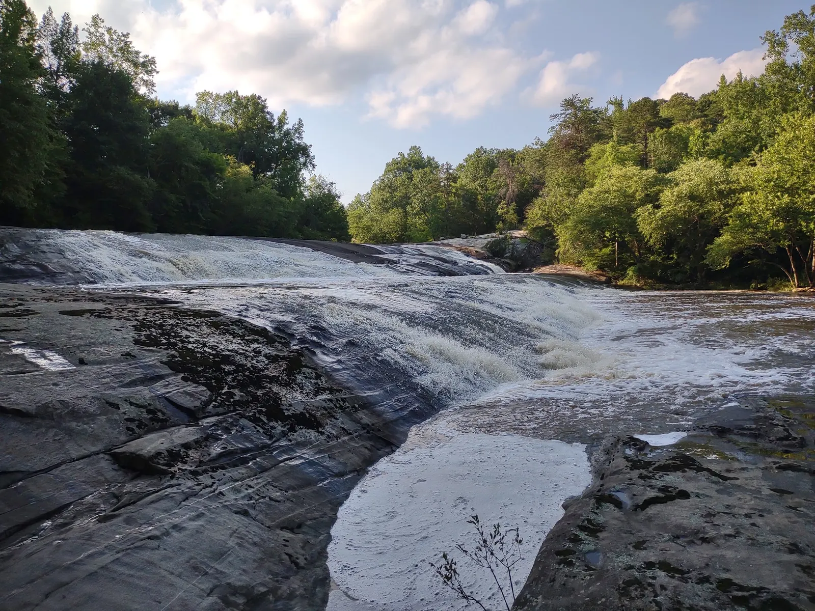
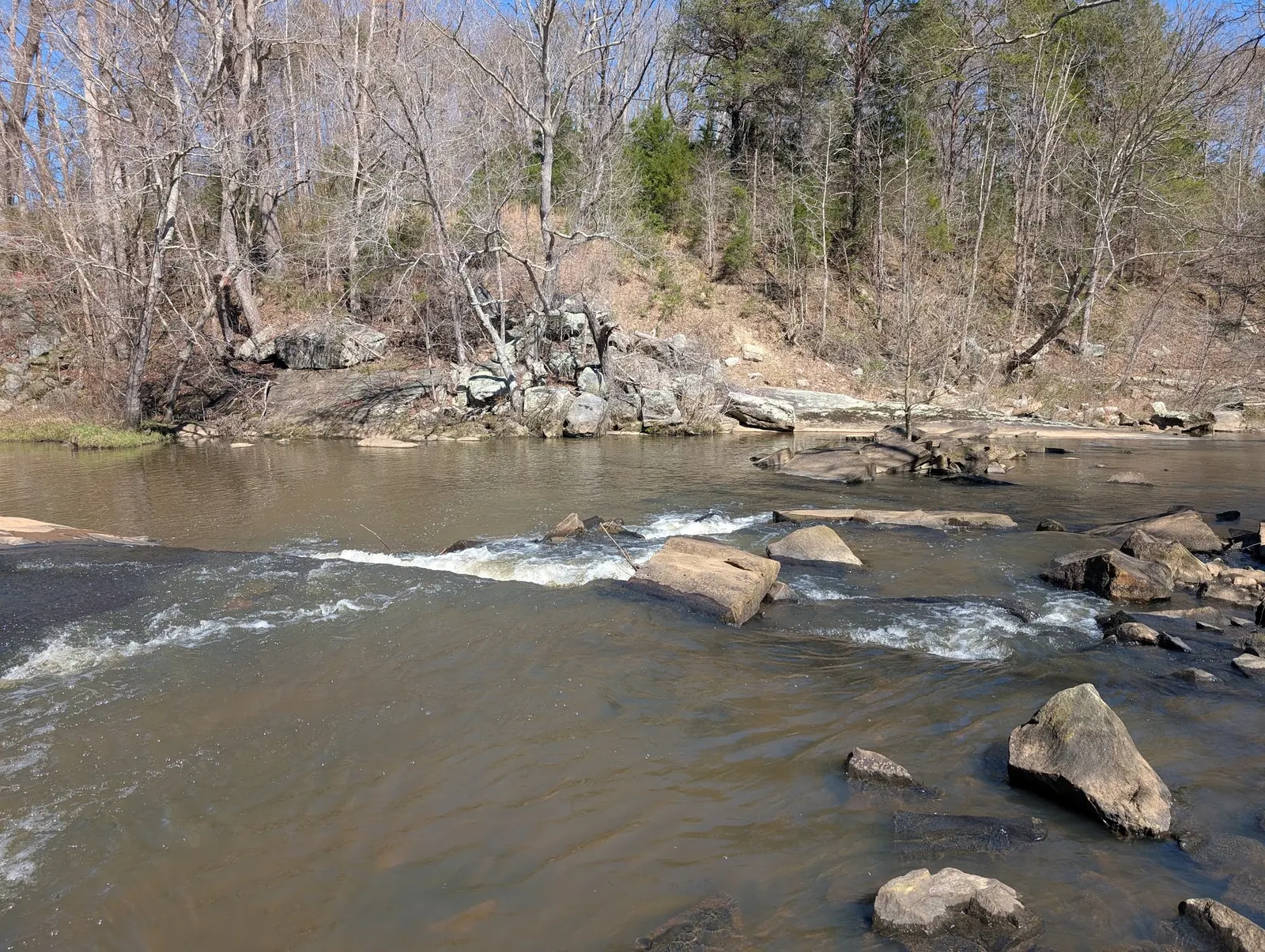
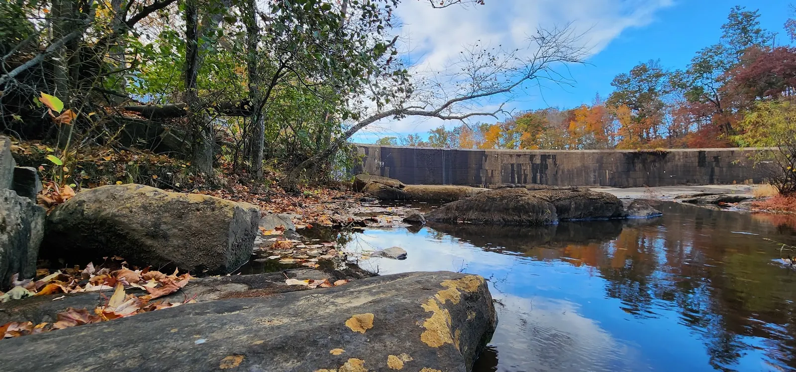
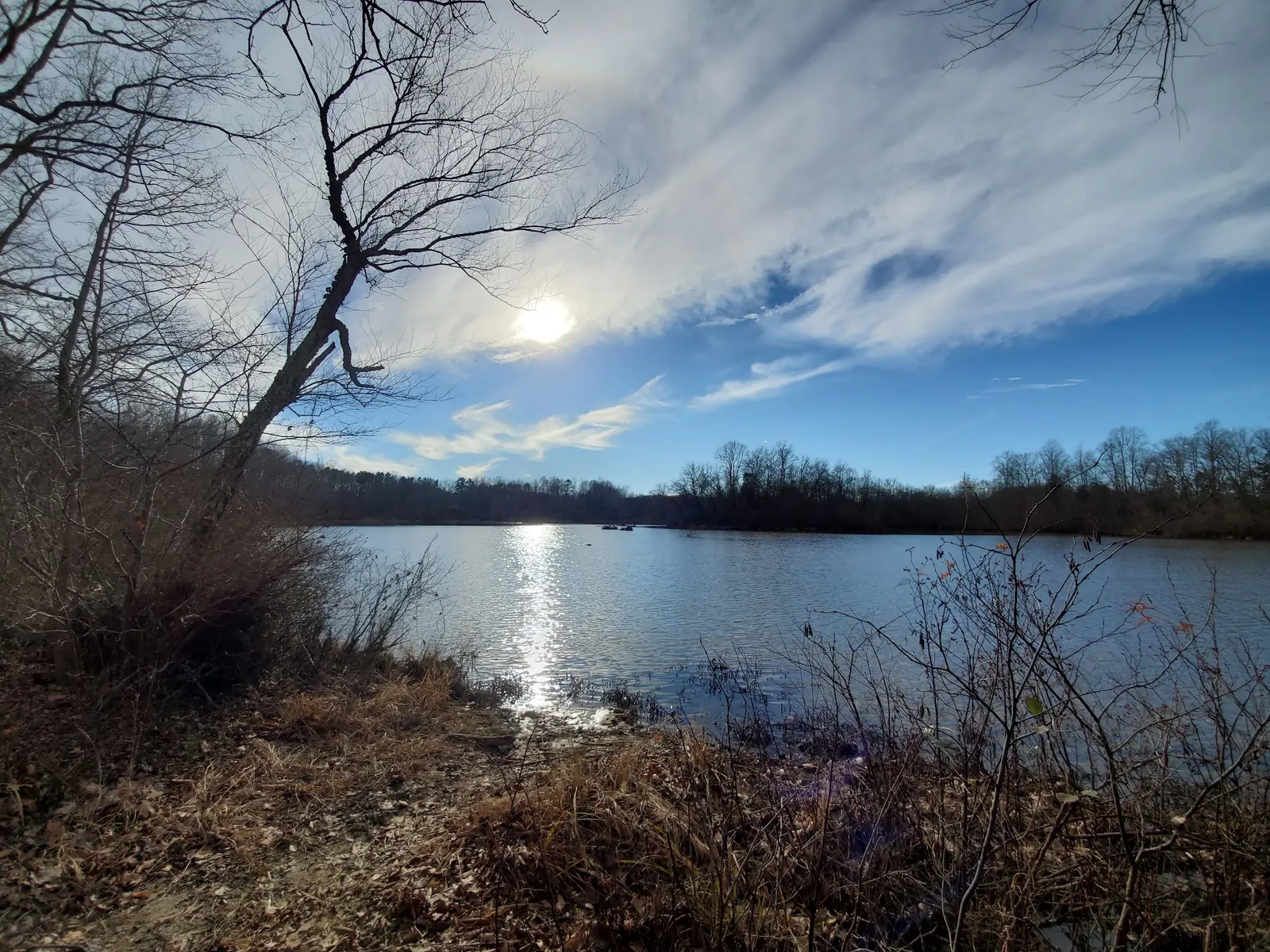
Reviewed photographs show broad rock cascades, a rocky channel, an autumn dam view and open water framed by a wooded shoreline. The lake-context view helps distinguish still water from the falls; none identifies a permitted swimming zone. Calm-looking water and photographs of other visitors are not evidence of safe depth, current water quality or permission. Photograph only from lawful access and do not jump or dive.
DWR lists 5036 Falls Road, Victoria, VA 23974, with signs to The Falls Boat Ramp on Marshall Town Road. It warns of deep ruts and potholes on the unpaved approach and recommends high clearance. This is visitor/boat access, not a verified swimming route.
Town public access is at visitors' own risk. Lake restrictions and any downstream access must be distinguished. No verified swimming-entry pin or downstream permission boundary is published.
Confirm the entrance, parking arrangements, and legal access with the land manager. A map pin does not establish a public right of access. Follow posted routes and never block gates or driveways.
The town-linked lake regulations prohibit swimming in Nottoway Falls Lake. They do not establish a verified permitted downstream swimming area. Confirm current signage and the precise location with the town. Public park access does not necessarily include permission to swim. Respect private property and posted restrictions.
Water conditions can change quickly. This listing does not provide a current safety or water-quality assessment. Check official alerts and avoid entering water when conditions or permission are uncertain.
Nearby places from saved public map data, not necessarily facilities at the swimming spot. Confirm access, hours, fees, and amenities with the operator before you drive.
Map data retrieved 2026-06-15
Park
The Falls Rd, Crewe, VA 23930
Campground
9720 Military Rd, Amelia Court House, VA 23002
Laundromat
1363 S Main St, Blackstone, VA 23824
City Hall
100 W Elm St, Blackstone, VA 23824
The town-linked lake regulations prohibit swimming. Follow current onsite restrictions; public visitor access does not override them.
No. A legal downstream boundary and designated water entrance remain unverified. Ask the Town of Victoria about the exact place you intend to visit.
DWR warns of deep ruts and potholes on the unpaved parking approach and recommends a high-clearance vehicle. Confirm present road conditions before travel.
DWR lists free sunrise-to-sunset visitor access, subject to temporary closures. That is not overnight or swimming permission; the linked lake regulations prohibit camping.
No. They show falls, channel, dam and lake scenery, not verified swimming boundaries, safe depth or current water quality. Avoid water near the dam.
The town attributes the man-made dam to the Virginian Railway in the early 1920s. Historical significance is not permission to approach or enter the dam area.
Four views show rock cascades, a rocky channel, the dam and open water with wooded shoreline. They do not mark legal swimming boundaries or current water conditions.
Practice Leave No Trace principles, avoid littering, and respect local wildlife and plant life to preserve the area’s natural beauty.
Browse every listed natural swimming spot in Virginia.
Find similar waterfalls destinations across the directory.
See under-the-radar places and local favorites in the same state.
Compare easier-access destinations and safer planning options.
Explore waterfall-focused swimming destinations in Virginia.
Use this safety guide before entering any natural water.
Safety & Access Notice
This information is for general planning only and may be incomplete, outdated, or inaccurate. Access rules, closures, water levels, currents, hazards, and legal restrictions can change at any time. Always verify current rules with the land manager or official source before visiting.
You are responsible for your own safety and for following all posted signs, laws, and local regulations. Read the full disclaimer.
The town-linked lake regulations prohibit camping; confirm current onsite rules rather than treating public access as overnight permission.
Loading weather data…
Safety & Access Notice
This information is for general planning only and may be incomplete, outdated, or inaccurate. Access rules, closures, water levels, currents, hazards, and legal restrictions can change at any time. Always verify current rules with the land manager or official source before visiting.
You are responsible for your own safety and for following all posted signs, laws, and local regulations. Read the full disclaimer.
Joshua Havens created Hidden Swimming Holes to make it easier for people to find — and safely visit — natural freshwater swimming destinations across the United States. He researches access conditions, water quality resources, and land management rules so you don't have to start from scratch. He holds a strong belief that good outdoor recreation information should be accurate, honest about its limitations, and freely available.
Discover other amazing natural swimming destinations across America