Wildcat Conservation Area parking
Parking lot
4.2 (17)
441 Daniel Webster Hwy, Merrimack, NH 03054

Background: generated illustration, not a photograph of this location.
Explore Merrimack River scenery near Concord with Sewalls Falls trail references, local park rules and reviewed photos. A permitted swimming entry is unverified.
Swimming permission unconfirmed
Confirm permission with the manager of the actual access. This review establishes neither a designated swimming entry nor a river-wide swimming ban.
Official sources checked:
Status summarizes our reviewed record, not today's opening or safety. Check current rules, swimming boundaries and notices before visiting.
Location
A closer look
Photos show past visits, not current water levels or swimming conditions. Select a photo to view it larger.
This is a desk-researched listing. A record update or map check does not confirm current swimming permission or water conditions.
Found an error? Send a correction with the location and a source. How we research listings.
This broad river listing is useful for Concord-area scenery and access research, but it does not identify a verified permitted swimming entry. The old description's gentle-current and family-friendly promises were not supported by a local condition assessment.
The city lists Sewalls Falls Park Trails as a walking destination. Its route information is not a swimming itinerary. The trail inventory notes that ownership and maintenance vary. Choose the actual trailhead and check the appropriate manager before arriving.
Concord's park rules prohibit camping and overnight park parking and require dogs to be leashed. Do not apply those rules automatically to every state or private access on the Merrimack. Likewise, a public boat landing does not by itself establish swimming permission.
An NHDES program explanation notes that not every beach is sampled and that sampling is not daily. Its archived advisory list is not today's condition report. No local clearance was obtained for this entry. An absence of a posted result, or a calm-looking photograph, is not proof that water is safe.
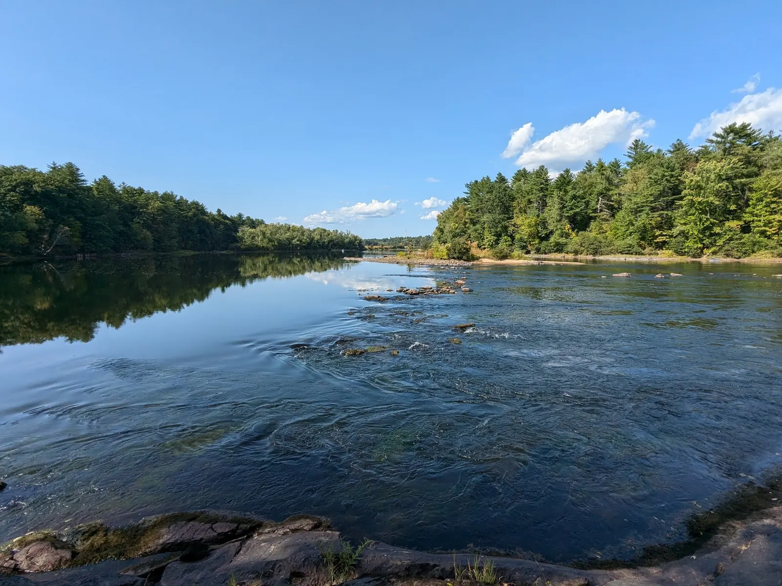
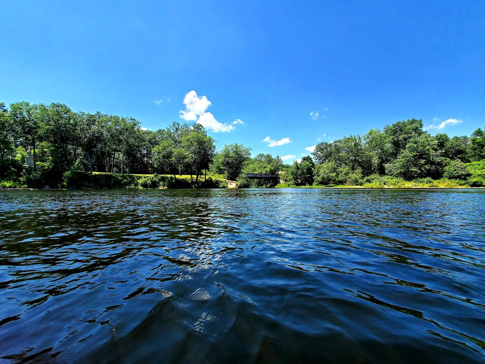
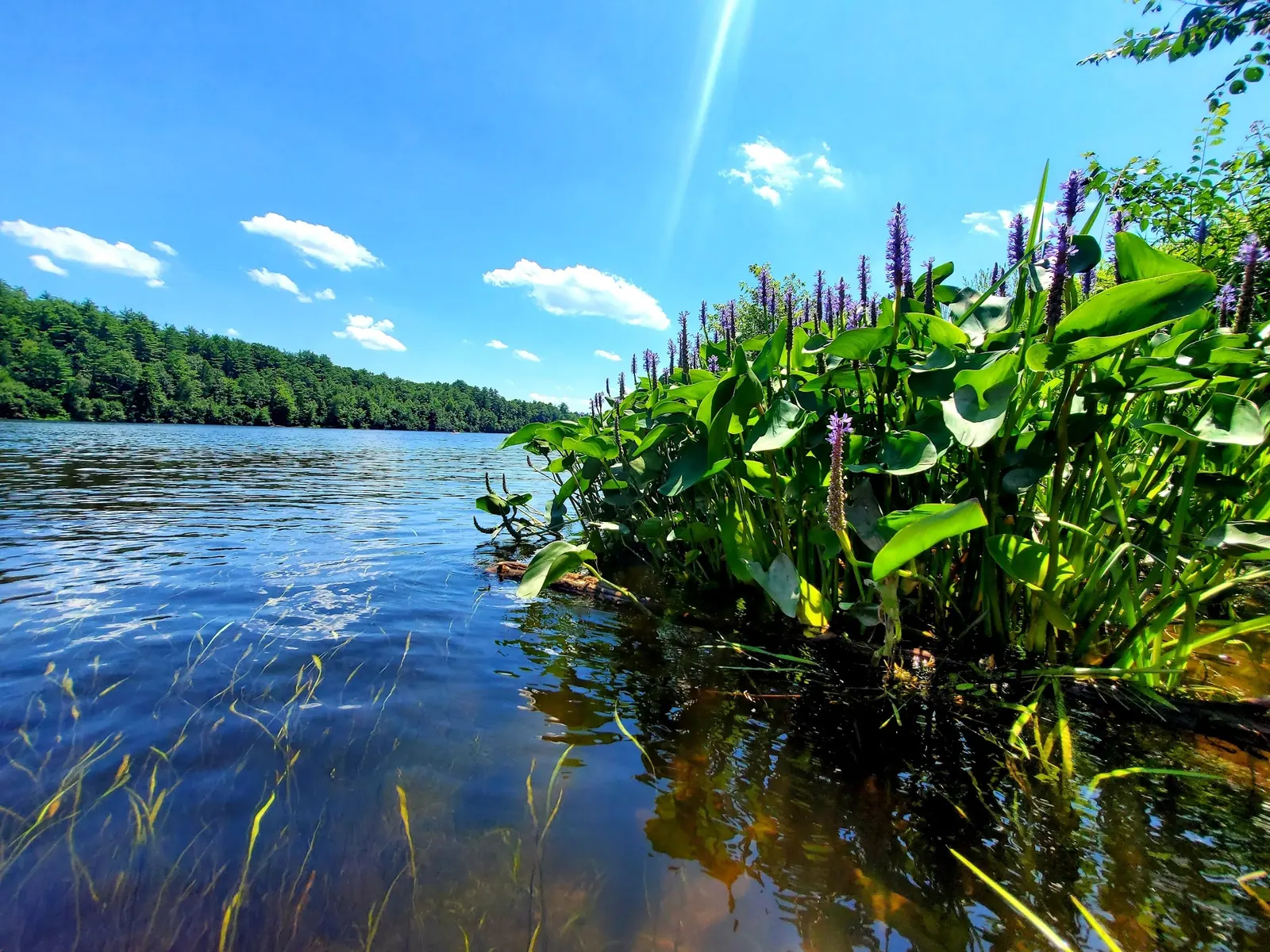
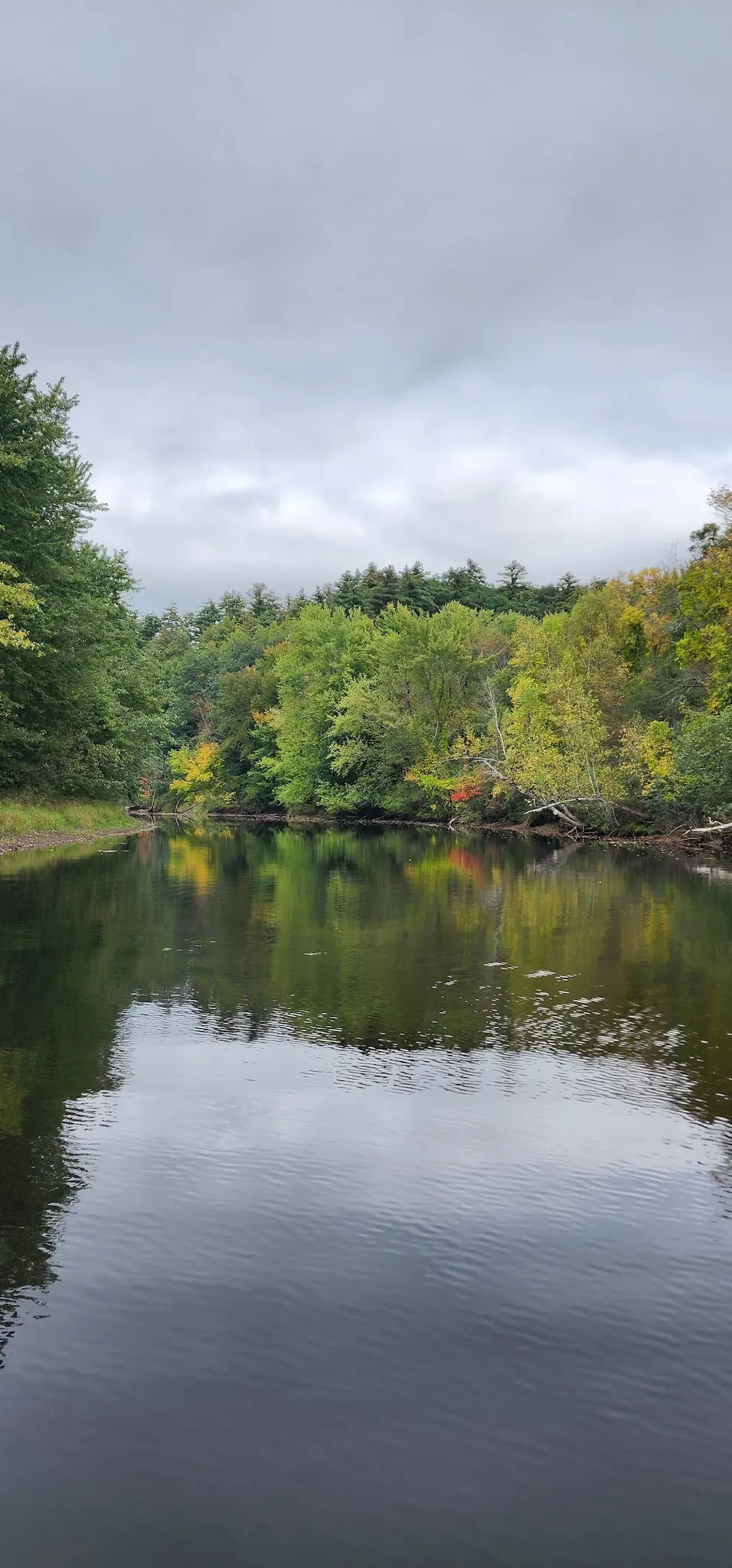
The saved record names the Merrimack near Sewalls Falls bridge, not an independently surveyed camera or swimming-entry location. Reviewed scenes help illustrate the wooded corridor, exposed rocks and riverbanks. They cannot establish permission, depth, flow or the condition of the retained historical pin.
Choose a named public access and its manager's current map before driving. Sewalls Falls Park Trails is a Concord planning reference, not precise swimming navigation. The historical pin is unverified. Retire the old advice to search broadly for boat ramps or follow any public-landing sign as a swim route.
Concord's trail inventory notes mixed ownership and maintenance. Confirm which manager controls your chosen bank, trail and parking lot; city rules should not be extended to every state or private property along the Merrimack.
Confirm the entrance, parking arrangements, and legal access with the land manager. A map pin does not establish a public right of access. Follow posted routes and never block gates or driveways.
Confirm permission with the manager of the actual access. This review establishes neither a designated swimming entry nor a river-wide swimming ban. Public park access does not necessarily include permission to swim. Respect private property and posted restrictions.
Water conditions can change quickly. This listing does not provide a current safety or water-quality assessment. Check official alerts and avoid entering water when conditions or permission are uncertain.
Nearby places from saved public map data, not necessarily facilities at the swimming spot. Confirm access, hours, fees, and amenities with the operator before you drive.
Map data retrieved 2026-06-15
Parking lot
441 Daniel Webster Hwy, Merrimack, NH 03054
Parking lot
1 Spartan Way, Merrimack, NH 03054
Parking garage
1 Spartan Way, Merrimack, NH 03054
Hiking area
Gateway Trail, Merrimack, NH 03054
Park
184 Amherst Rd, Merrimack, NH 03054
Over 560 acres of elevated terrain & wetlands with trails for hiking, biking & horseback riding.
Hiking area
35 Currier Rd, Merrimack, NH 03054
Campground
2 Fanny Dr, Suncook, NH 03275
Campground
1138 US-302, Hart's Location, NH 03812
No. The reviewed city pages establish trail and park context, not a designated swimming entry. Ask the manager of the specific access before planning to enter the water.
No. Launch access and swimming permission are separate, and boats and current can create additional hazards.
Concord prohibits camping on City lands and trails and overnight parking in its parks. Confirm the manager and rules for any different destination.
No. NHDES explains that not every beach is sampled and none is sampled daily. This review did not obtain a current local water-quality clearance.
No. They are historical river-context photographs from a saved named record, not verified entry coordinates or current conditions.
This broad Merrimack River record is not the town of Merrimack's beach listing or proof of access along the river's entire length.
Four historical river-context photos show exposed rocks and moving water, a wooded bank with a small bridge, shoreline plants and an autumn river bend. They do not identify today's permitted entry or establish safe depth.
Stay on marked authorized routes, respect adjoining private property and carry out litter. On Concord City lands, follow the published restrictions on fires and camping.
Browse every listed natural swimming spot in New Hampshire.
See under-the-radar places and local favorites in the same state.
Compare easier-access destinations and safer planning options.
Explore waterfall-focused swimming destinations in New Hampshire.
Use this safety guide before entering any natural water.
Safety & Access Notice
This information is for general planning only and may be incomplete, outdated, or inaccurate. Access rules, closures, water levels, currents, hazards, and legal restrictions can change at any time. Always verify current rules with the land manager or official source before visiting.
You are responsible for your own safety and for following all posted signs, laws, and local regulations. Read the full disclaimer.
Concord prohibits camping on City lands and trails, and overnight parking in its parks. These are city-jurisdiction rules, not a ban on every campsite along the river.
Loading weather data…
Safety & Access Notice
This information is for general planning only and may be incomplete, outdated, or inaccurate. Access rules, closures, water levels, currents, hazards, and legal restrictions can change at any time. Always verify current rules with the land manager or official source before visiting.
You are responsible for your own safety and for following all posted signs, laws, and local regulations. Read the full disclaimer.
Joshua Havens created Hidden Swimming Holes to make it easier for people to find — and safely visit — natural freshwater swimming destinations across the United States. He researches access conditions, water quality resources, and land management rules so you don't have to start from scratch. He holds a strong belief that good outdoor recreation information should be accurate, honest about its limitations, and freely available.
Discover other amazing natural swimming destinations across America