Little Missouri Falls
Scenic spot
4.8 (685)
AR-369, Langley, AR 71952

Background: generated illustration, not a photograph of this location.
Plan a Little Missouri River outing with Albert Pike day-use rules, separate waterfall destinations, flood cautions and no directions to the closed private quarry.
Location
A closer look
Photos show past visits, not current water levels or swimming conditions. Select a photo to view it larger.
This is a desk-researched listing. A record update or map check does not confirm current swimming permission or water conditions.
Found an error? Send a correction with the location and a source. How we research listings.
This listing covers a wider river corridor, not one swimming pool. The map identifies Albert Pike Day Use. Winding Stairs and Little Missouri Falls are separate outings with different access and preparation needs.
The current Forest Service page lists free day use, vault toilets, water and picnic tables. Do not plan an overnight stay at the former campground. Approach via AR-369 north from Langley and follow current entrance signs rather than using old instructions into a particular campground loop.
Little Missouri Falls has a separate trailhead and waterfall-overlook destination. Winding Stairs is not a roadside extension of the Albert Pike picnic stop. We have not reverified the old page's exact crossing count, trail mileage or informal pools, so they are not presented as reliable directions. Carry a current map and turn back when a crossing is unsafe.
Check weather across the watershed, not just overhead. Avoid rising water, storm forecasts and crossings that exceed your ability. Do not use the old recommendation to tube down cascades or jump into deep-looking pools. A photograph cannot show hidden rocks, current or today's depth.
The archived listing recorded that quarry as closed private property. This page does not recommend visiting it or provide a route into it. Use established public recreation destinations and confirm their current access with the Caddo-Womble district at 870-867-2101.
Navigate to Albert Pike Day Use via AR-369 north from Langley, using current Forest Service directions. The pin represents the day-use area. Winding Stairs and Little Missouri Falls need separate routes and weather checks. Do not use the former private Blue Hole Quarry destination.
Day use does not authorize overnight camping or entry to all former campground loops. Backcountry trails and river crossings require a current map and conditions assessment. The old quarry was recorded as closed private property; it is not a public recommendation.
Confirm the entrance, parking arrangements, and legal access with the land manager. A map pin does not establish a public right of access. Follow posted routes and never block gates or driveways.
Current swimming permission has not been independently confirmed for this listing. Check official rules, fees, hours, and closures before visiting. Public park access does not necessarily include permission to swim. Respect private property and posted restrictions.
Water conditions can change quickly. This listing does not provide a current safety or water-quality assessment. Check official alerts and avoid entering water when conditions or permission are uncertain.
Bring sturdy water shoes to protect your feet on rocks and slippery surfaces. A waterproof dry bag keeps your phone, keys, and valuables safe. Pack a quick-dry towel, sun protection, and drinking water - never drink from the natural water source.
Nearby places from saved public map data, not necessarily facilities at the swimming spot. Confirm access, hours, fees, and amenities with the operator before you drive.
Map data retrieved 2026-06-15
Scenic spot
AR-369, Langley, AR 71952
Hiking area
Umpire, AR 71971
Park
Mena, AR 71953
Campground
Nfw 106, Umpire, AR 71971
State park
103 E Park Rd, Kirby, AR 71950
A scenic camping & picnic spot on mountain, lake & river terrain with trails, fishing & kayaking.
Cabin rental agency
69 Arrowhead Dr, Caddo Gap, AR 71935
Public bathroom
19 Cemetery Rd, Hatfield, AR 71945
Public bathroom
61 Bullshoals Park, Lakeview, AR 72642
Checking nearby USGS water conditions…
No. The current Forest Service listing identifies Albert Pike as day-use only. Arrange permitted overnight accommodation elsewhere.
Albert Pike Day Use, not Winding Stairs, Little Missouri Falls or every informal river pool.
The current Forest Service page lists no day-use fee. Confirm current notices and operating facilities before travel.
No public recommendation is made. The archived listing recorded it as closed private property; do not enter without landowner permission.
Albert Pike is managed as a Forest Service day-use destination following the area's flood history.
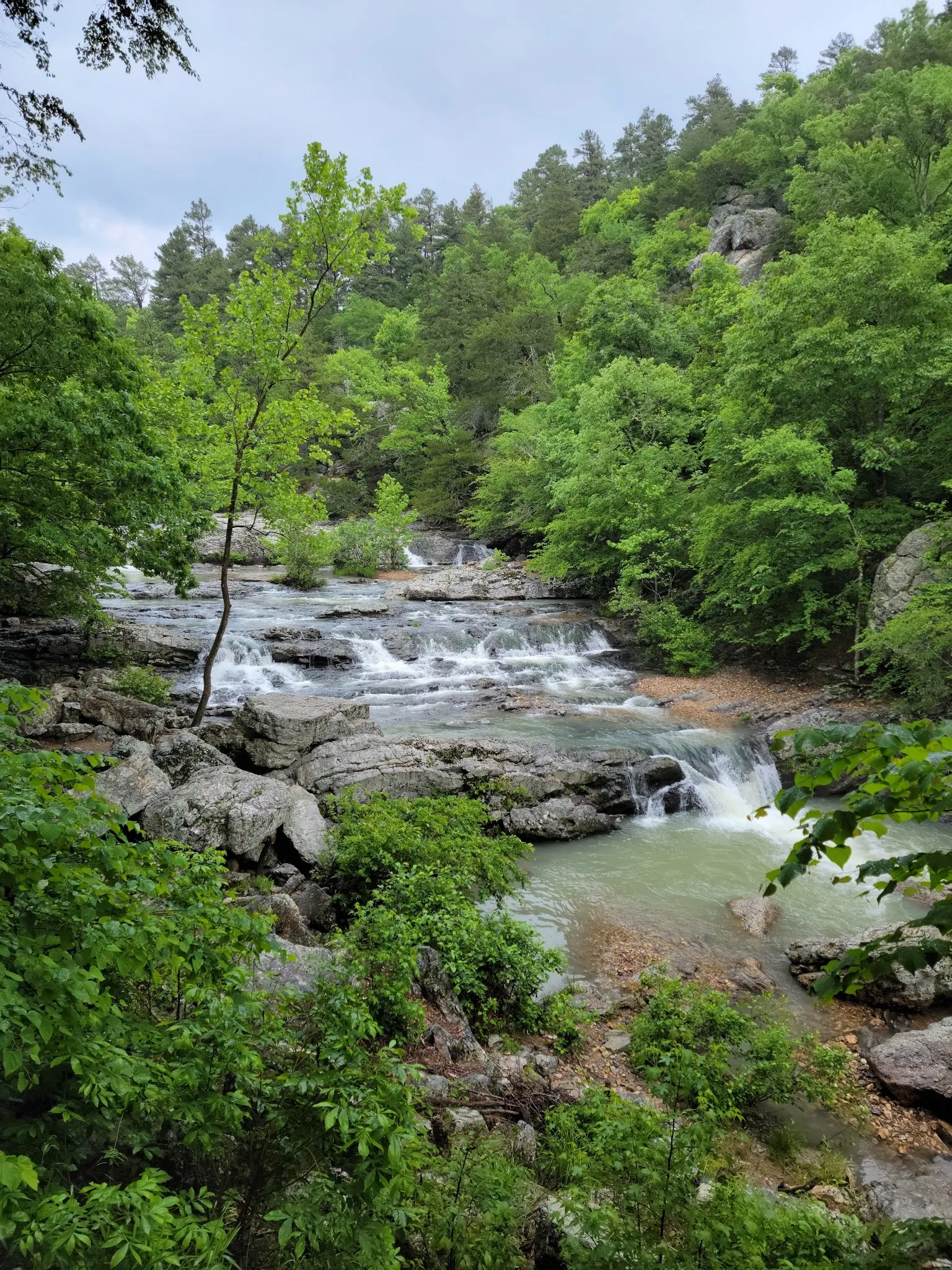
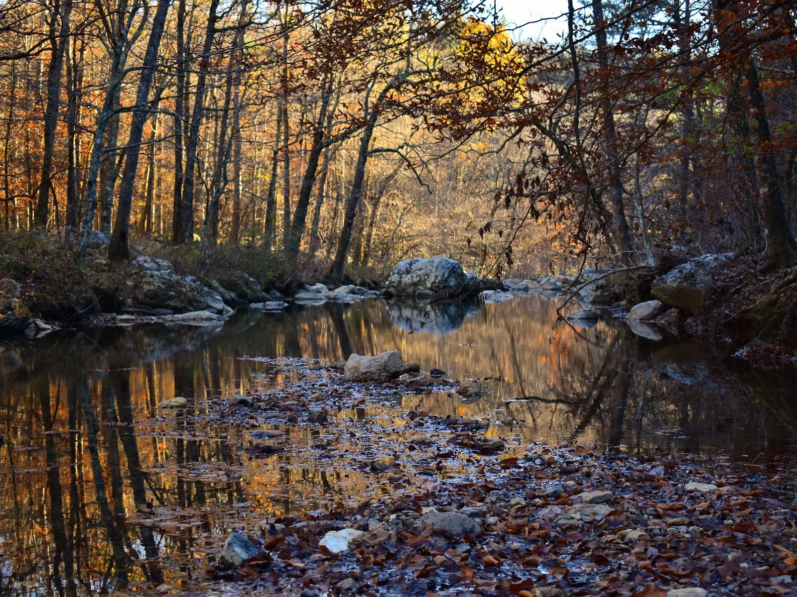
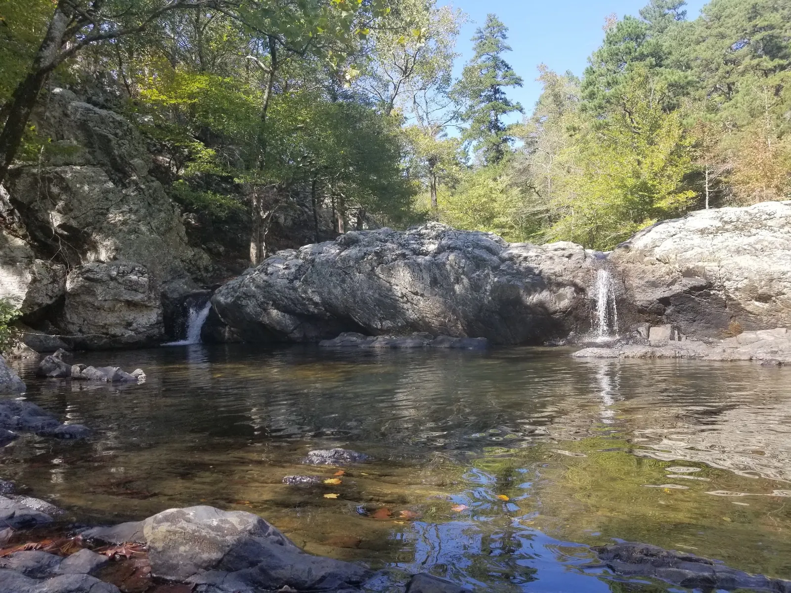
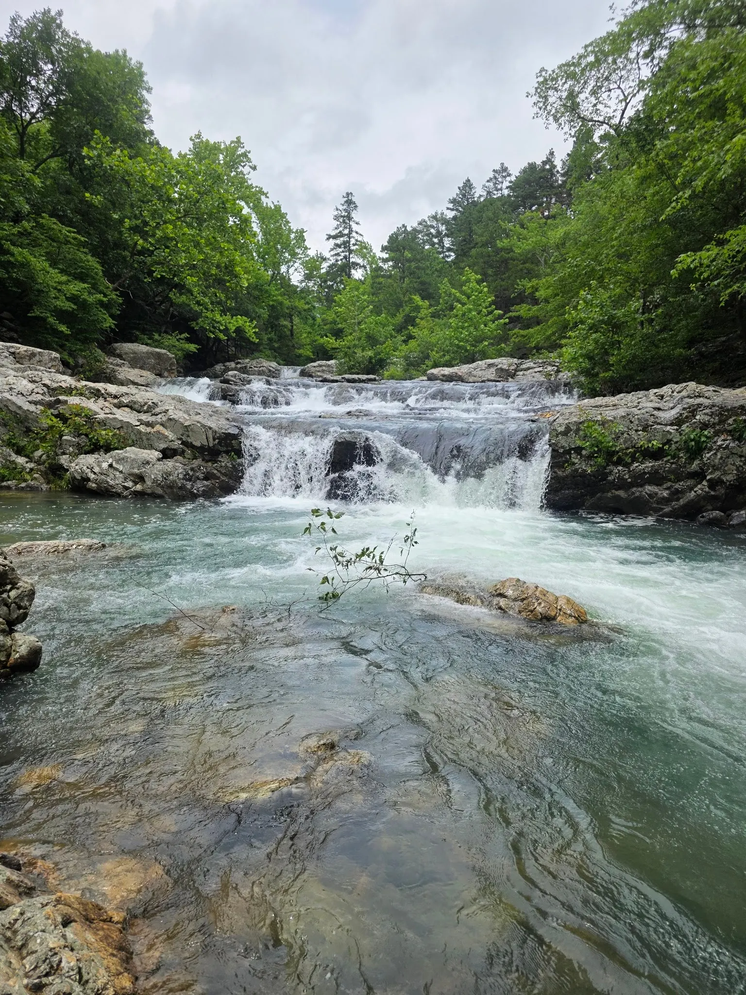
Reviewed gallery photos come from the separate Little Missouri Falls collection, not the Albert Pike map destination. Views include layered falls, autumn creek reflections, narrow cascades and whitewater. Historical photos do not prove current flow, safe depth or authorized pool access; photograph from permitted locations.
Respect day-use limits, private-property closures and posted rules; take litter home.
Browse every listed natural swimming spot in Arkansas.
Find similar river destinations across the directory.
See under-the-radar places and local favorites in the same state.
Compare easier-access destinations and safer planning options.
Explore waterfall-focused swimming destinations in Arkansas.
Use this safety guide before entering any natural water.
Safety & Access Notice
This information is for general planning only and may be incomplete, outdated, or inaccurate. Access rules, closures, water levels, currents, hazards, and legal restrictions can change at any time. Always verify current rules with the land manager or official source before visiting.
You are responsible for your own safety and for following all posted signs, laws, and local regulations. Read the full disclaimer.
Albert Pike is day-use only, not an operating overnight campground. Arrange permitted camping separately.
Loading weather data…
Safety & Access Notice
This information is for general planning only and may be incomplete, outdated, or inaccurate. Access rules, closures, water levels, currents, hazards, and legal restrictions can change at any time. Always verify current rules with the land manager or official source before visiting.
You are responsible for your own safety and for following all posted signs, laws, and local regulations. Read the full disclaimer.
Joshua Havens created Hidden Swimming Holes to make it easier for people to find — and safely visit — natural freshwater swimming destinations across the United States. He researches access conditions, water quality resources, and land management rules so you don't have to start from scratch. He holds a strong belief that good outdoor recreation information should be accurate, honest about its limitations, and freely available.
Discover other amazing natural swimming destinations across America