Jump Creek Falls Trail Head
Park
4.7 (520)
Marsing, ID 83639
Picnic tablesPublic restroom

Background: generated illustration, not a photograph of this location.
Plan Jump Creek Falls near Marsing with BLM admission fees, site hours, signed access directions and poison ivy precautions. Check closures before visiting.
Location
A closer look
Photos show past visits, not current water levels or swimming conditions. Select a photo to view it larger.
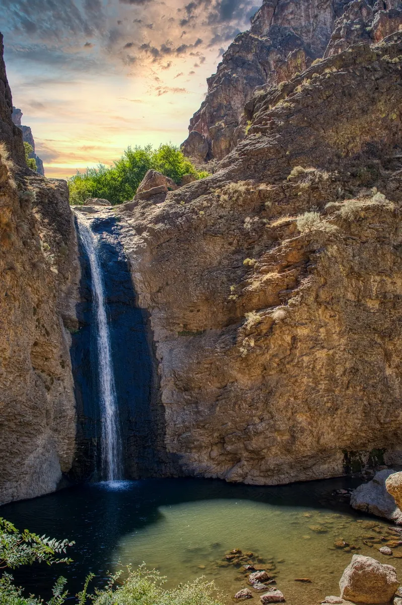
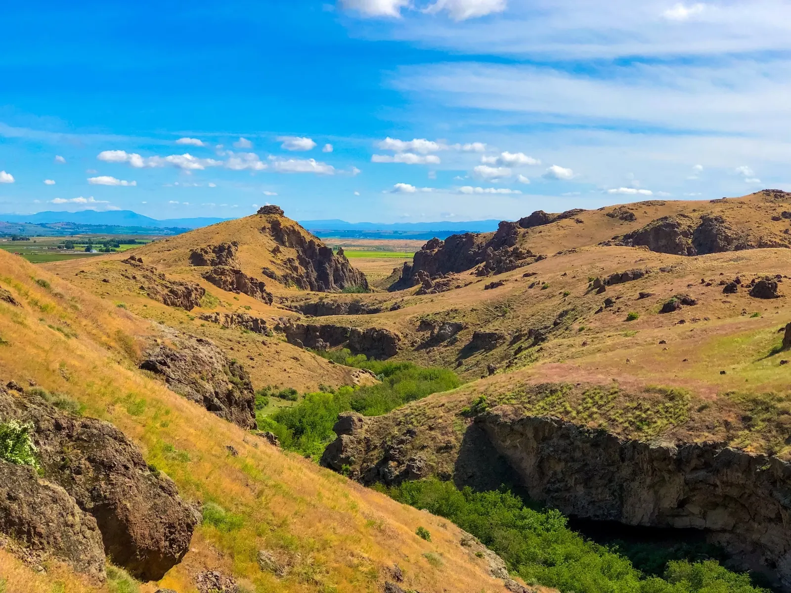
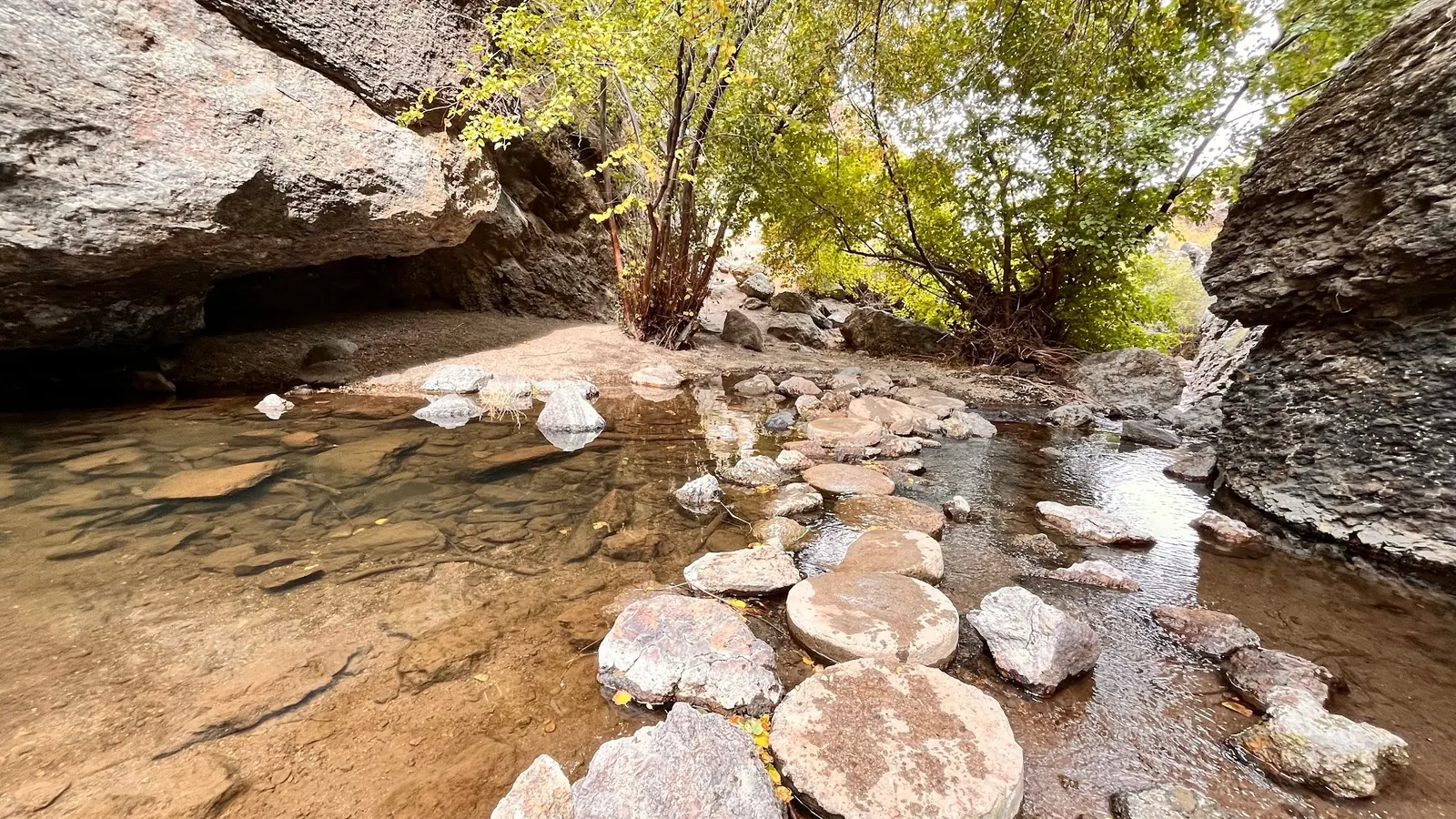
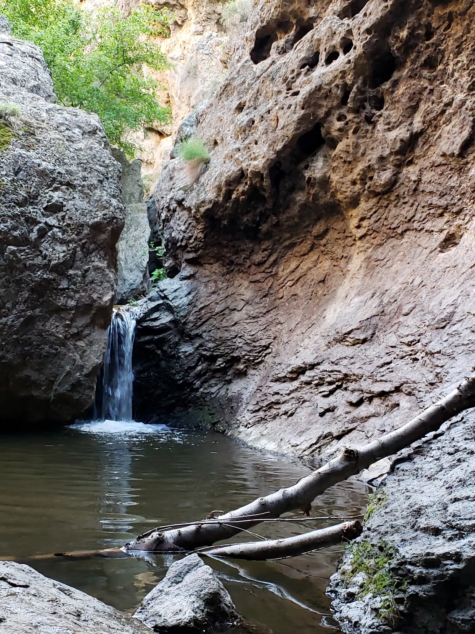
This is a desk-researched listing. A record update or map check does not confirm current swimming permission or water conditions.
Found an error? Send a correction with the location and a source. How we research listings.
Jump Creek Falls is a BLM-managed canyon recreation site in southwestern Idaho. The official visitor page identifies swimming at the waterfall base, along with hiking and picnicking. That does not establish water depth, water quality or suitable conditions for every visitor.
BLM lists a $5 day-use pass or $25 annual pass and site hours of 6 a.m. to 9 p.m. Follow the signed route via Cemetery Road and Jump Creek Road. Part of the public approach crosses private property, so remain on the main road rather than taking shortcuts.
The agency describes the falls trail as easy but its online distance is incomplete, so this guide does not give an unsupported mileage. Poison ivy occurs along the creek and trail. Wear suitable footwear and stay on the route; an overlook is not a swimming entry.
Do not infer safe jumping depth from the name Jump Creek. Avoid jumping or diving into water of unknown depth, and do not assume lifeguard supervision. Check closures and conditions before traveling. Contact the Owyhee Field Office at 208-896-5912 for site questions.
Use BLM's posted approach via Cemetery Road to Jump Creek Road near Marsing. Continue through the Poison Creek intersection, then follow the signed gravel-road turn across the cattle guard. The public route crosses private property: stay on the main road and obey signs. Consult the official Jump Creek page for the complete driving route and any changes before traveling.
BLM lists site hours of 6 a.m. to 9 p.m. and a paid day-use or annual pass. Stay on the signed public access road across private property. Check current closures before traveling.
Confirm the entrance, parking arrangements, and legal access with the land manager. A map pin does not establish a public right of access. Follow posted routes and never block gates or driveways.
Current swimming permission has not been independently confirmed for this listing. Check official rules, fees, hours, and closures before visiting. Public park access does not necessarily include permission to swim. Respect private property and posted restrictions.
Water conditions can change quickly. This listing does not provide a current safety or water-quality assessment. Check official alerts and avoid entering water when conditions or permission are uncertain.
Bring sturdy water shoes to protect your feet on rocks and slippery surfaces. A waterproof dry bag keeps your phone, keys, and valuables safe. Pack a quick-dry towel, sun protection, and drinking water - never drink from the natural water source.
Nearby places from saved public map data, not necessarily facilities at the swimming spot. Confirm access, hours, fees, and amenities with the operator before you drive.
Map data retrieved 2026-06-15
Park
Marsing, ID 83639
Nature preserve
13751 Upper Embankment Rd, Nampa, ID 83686
Public bathroom
H86Q+H4, Nampa, ID 83686
Campground
21830 Town Cir #34, Caldwell, ID 83607
Public bathroom
Nampa, ID 83686
Public bathroom
Nampa, ID 83686
Parking garage
224 11th Ave S, Nampa, ID 83651
Parking lot
1100 3rd St S, Nampa, ID 83651
No. BLM lists a $5 day-use pass or $25 annual pass. Confirm current payment arrangements before traveling.
BLM lists 6 a.m. to 9 p.m. Check closure notices before visiting; published hours do not override a closure.
Yes, at the waterfall base. This does not establish today's water quality, depth or suitable swimming conditions.
Follow BLM's signed route through private property and stay on the main road. Watch for poison ivy along the creek and trail.
A beloved local destination for outdoor gatherings and exploration, with anecdotal stories of family picnics and summer adventures.
Best spots include the hiking trail leading to the falls, the pool’s edge, and wide-angle shots of the canyon. Golden hour lighting enhances the scenery.
Follow Leave No Trace principles: pack out all trash, avoid disturbing wildlife, and respect the natural features to preserve the site’s beauty.
Browse every listed natural swimming spot in Idaho.
Compare nearby options around Boise before you choose a route.
Find similar waterfalls destinations across the directory.
See under-the-radar places and local favorites in the same state.
Compare easier-access destinations and safer planning options.
Explore waterfall-focused swimming destinations in Idaho.
Safety & Access Notice
This information is for general planning only and may be incomplete, outdated, or inaccurate. Access rules, closures, water levels, currents, hazards, and legal restrictions can change at any time. Always verify current rules with the land manager or official source before visiting.
You are responsible for your own safety and for following all posted signs, laws, and local regulations. Read the full disclaimer.
Plan a day visit. Contact the Owyhee Field Office about any separately permitted overnight use.
Loading weather data…
Safety & Access Notice
This information is for general planning only and may be incomplete, outdated, or inaccurate. Access rules, closures, water levels, currents, hazards, and legal restrictions can change at any time. Always verify current rules with the land manager or official source before visiting.
You are responsible for your own safety and for following all posted signs, laws, and local regulations. Read the full disclaimer.
Joshua Havens created Hidden Swimming Holes to make it easier for people to find — and safely visit — natural freshwater swimming destinations across the United States. He researches access conditions, water quality resources, and land management rules so you don't have to start from scratch. He holds a strong belief that good outdoor recreation information should be accurate, honest about its limitations, and freely available.
Discover other amazing natural swimming destinations across America