Goose Creek State Park
State park
0.8 mi
4.7 (1260)
2190 Camp Leach Rd, Washington, NC 27889
Tranquil park filled with moss-covered oaks & offering hiking, swimming & camping.
Barbecue grillPicnic tablesPublic restroom

Background: generated illustration, not a photograph of this location.
Plan Goose Creek State Park's Pamlico River beach with the Camp Leach Road detour, free day use, seasonal gate hours and tent, RV or cabin camping options.
Location
A closer look
Photos show past visits, not current water levels or swimming conditions. Select a photo to view it larger.
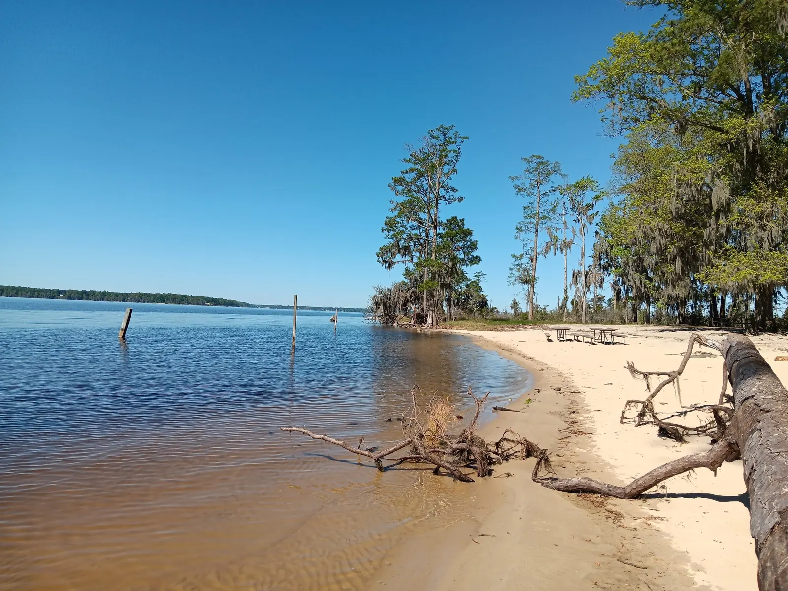
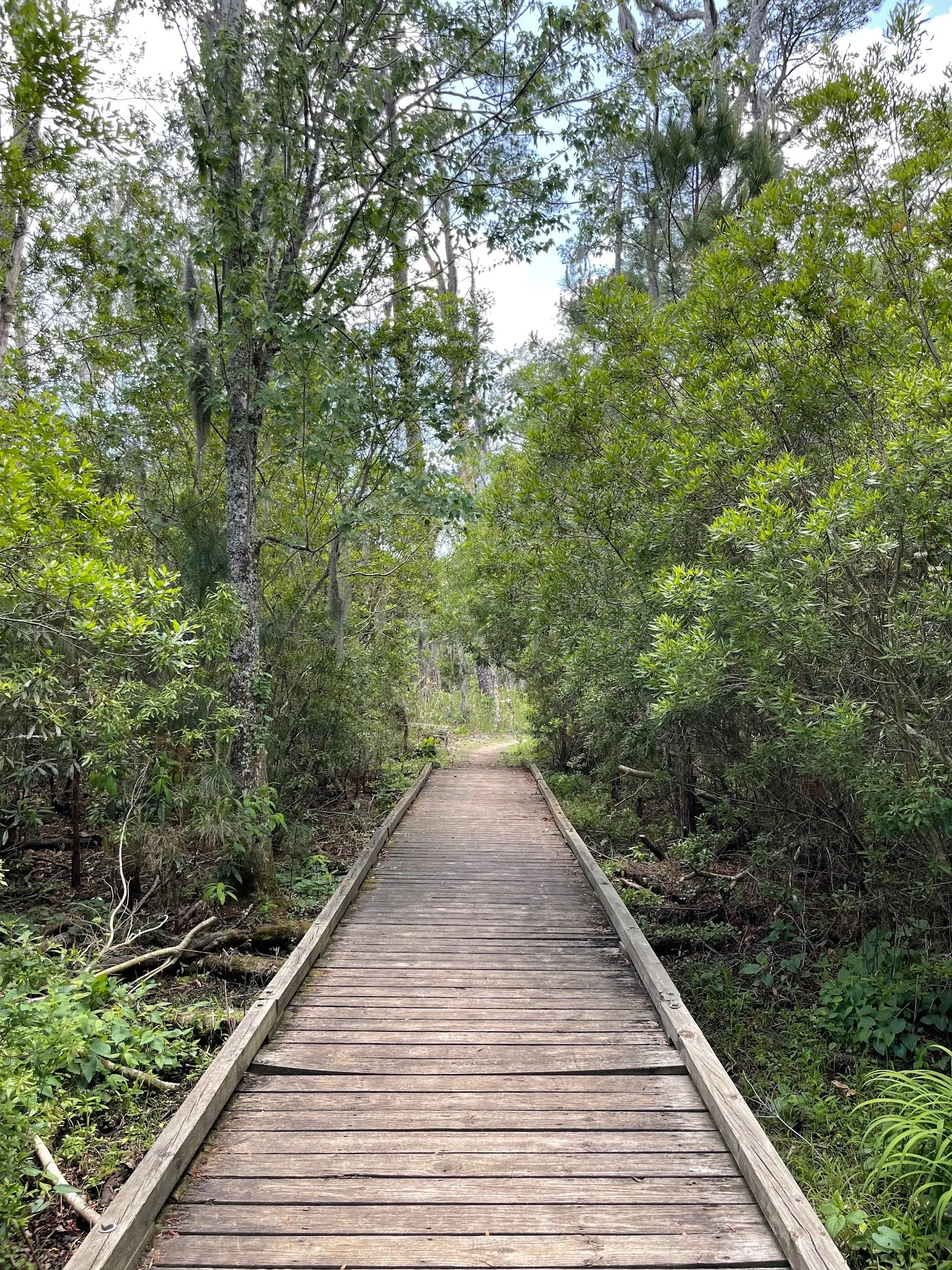
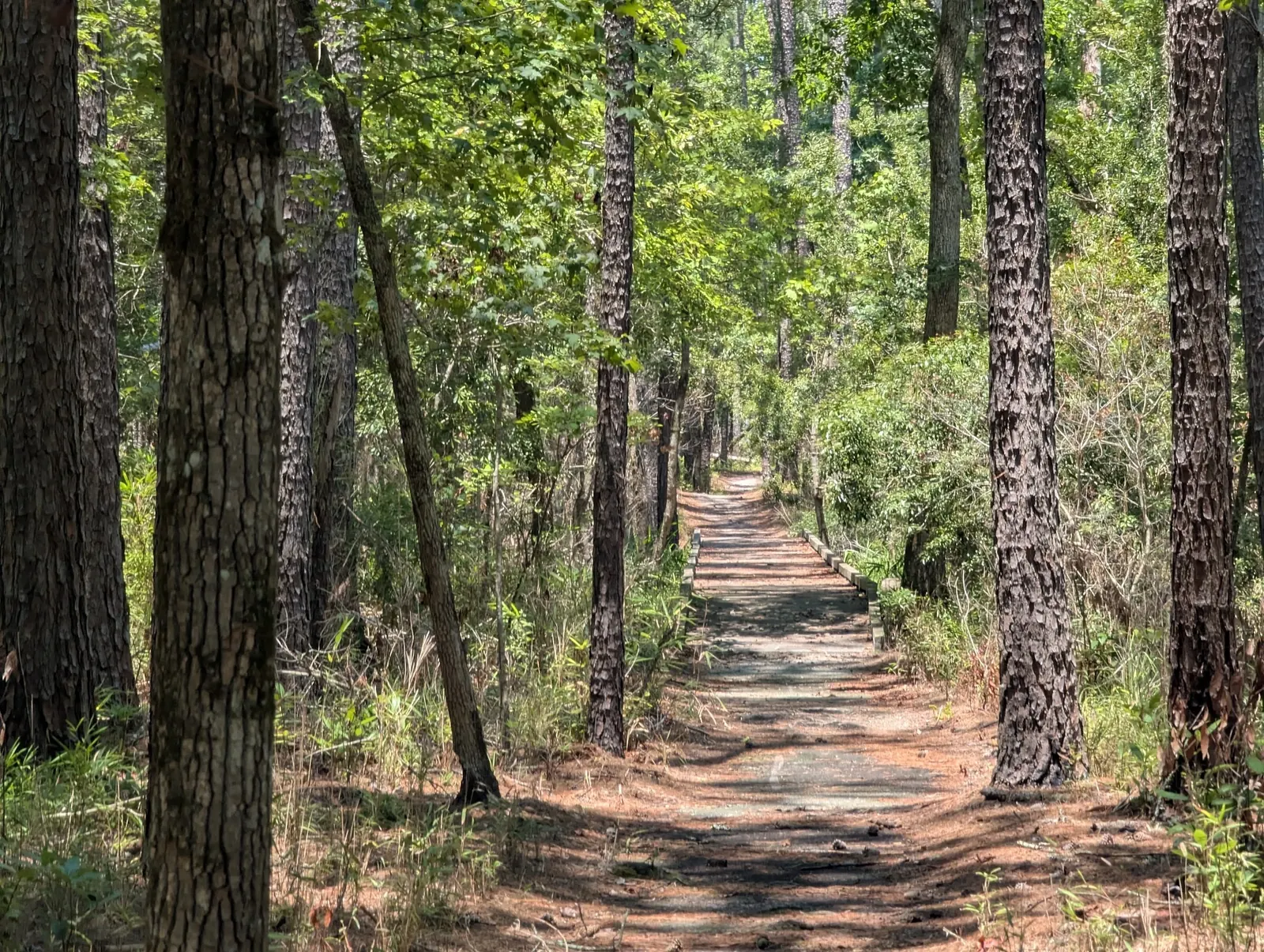
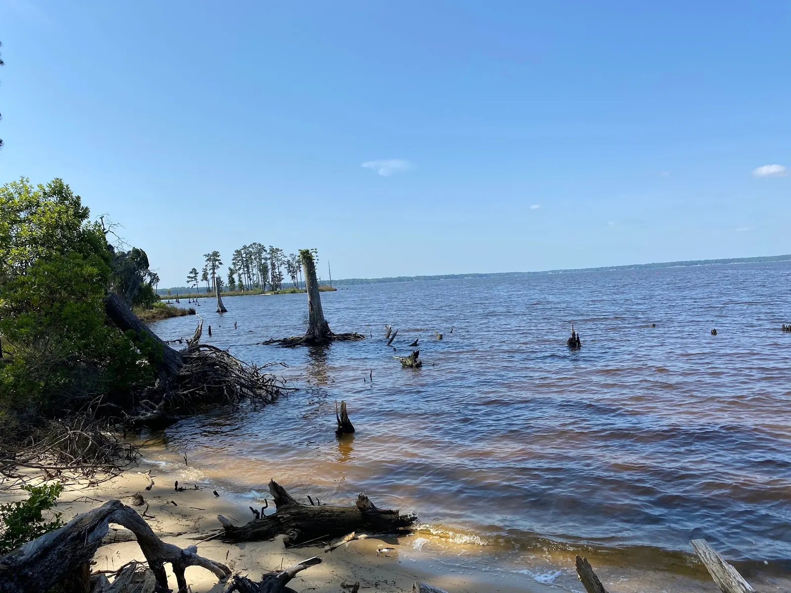
This is a desk-researched listing. A record update or map check does not confirm current swimming permission or water conditions.
Found an error? Send a correction with the location and a source. How we research listings.
Goose Creek State Park near Washington offers a managed river swim beach alongside coastal wetlands and wooded trails. At this October 8, 2026 review, the manager page lists the beach as open but also posts a main-entry closure on Camp Leach Road beginning August 24 for bridge work. Follow local detour instructions via Route 92/Whitepost. Use the temporary contact number, 252-762-1572, while the main line is unavailable.
Day-use entry is free; camping, some permits and facility bookings are charged separately. The park address is 2190 Camp Leach Road, but its published GPS is a general park reference rather than a precise swimming entrance. Check current notices instead of following the former driving route through bridge works.
The camping page documents full-hookup RV sites, primitive tent sites, cabins and seasonal group sites. Cabins require your own bedding and use a nearby bathhouse rather than an internal restroom. Confirm availability, booking conditions and charges for your accommodation. Accommodation accessibility does not establish accessible beach entry.
Use current beach signs and staff guidance, not roots or driftwood in gallery photos, to choose an approach. Ask about lifeguard coverage and mobility requirements. The park also lists a bathhouse, visitor center, picnic shelters and a boat ramp. October hours are 8 a.m.-8 p.m.; other day-use gates close one hour before the main gate. Review seasonal hours before travel.
Park address: 2190 Camp Leach Road, Washington, North Carolina 27889. The manager currently posts a Camp Leach Road main-entry closure beginning August 24 for bridge work over Upper Goose Creek. Follow local detour instructions via Route 92/Whitepost and confirm the route before travel. The official GPS is a park reference, not a surveyed swimming entrance; do not use old turn-by-turn directions to bypass the closure.
October 8 review: manager posts the Camp Leach Road main-entry detour and says its main phone line is unavailable; use 252-762-1572 during business hours. October park hours are 8 a.m.-8 p.m., with other day-use gates closing one hour before the main gate. Winter hours are shorter and the park closes on Christmas Day. Recheck notices and beach status before arrival.
Confirm the entrance, parking arrangements, and legal access with the land manager. A map pin does not establish a public right of access. Follow posted routes and never block gates or driveways.
Current swimming permission has not been independently confirmed for this listing. Check official rules, fees, hours, and closures before visiting. Public park access does not necessarily include permission to swim. Respect private property and posted restrictions.
Water conditions can change quickly. This listing does not provide a current safety or water-quality assessment. Check official alerts and avoid entering water when conditions or permission are uncertain.
Bring sturdy water shoes to protect your feet on rocks and slippery surfaces. A waterproof dry bag keeps your phone, keys, and valuables safe. Pack a quick-dry towel, sun protection, and drinking water - never drink from the natural water source.
Nearby places from saved public map data, not necessarily facilities at the swimming spot. Confirm access, hours, fees, and amenities with the operator before you drive.
Map data retrieved 2026-06-15
State park
2190 Camp Leach Rd, Washington, NC 27889
Tranquil park filled with moss-covered oaks & offering hiking, swimming & camping.
RV park
2859 Sunnyside Rd, Greenville, NC 27834
Campground
2773 Sunnyside Rd, Greenville, NC 27834
Park
Greenway, Greenville, NC 27858
Winding park pathway offering walking, jogging & biking in a natural setting near the river.
Campground
215 Stancill Dr, Greenville, NC 27858
Checking nearby USGS water conditions…
NC State Parks lists no day-use entry fee. Camping, some permits and facility reservations cost extra.
The October 8, 2026 review found a manager notice closing the main entry for bridge work beginning August 24. Follow local instructions via Route 92/Whitepost and recheck before departure.
The manager's current phone alert directs visitors to 252-762-1572 during normal business hours while its main line is unavailable.
No. The manager lists full-hookup RV sites, primitive tent sites, cabins and seasonal group sites. Check the official reservation system for your accommodation.
The manager says cabins use a nearby bathhouse and water spigots, with no restroom inside. Bring your own bedding.
No. They show historical park scenery. Check the manager's current swim-beach status and posted boundaries before any water activity.
The park area reflects North Carolina’s maritime history and its connection to the estuarine ecosystem of the Pamlico Sound. It has long been a place of sustenance and inspiration for local communities.
Woodland boardwalks, sandy Pamlico shoreline and moss-draped trees. Gallery frames show historical scenery, not the road detour, current beach opening or an independently verified water entry.
Stay on permitted trails and beach approaches, protect wetland vegetation and remove litter. Pets must remain attended on a leash no longer than six feet and cannot enter buildings or camper cabins under the general park policy; check separate beach restrictions with staff.
Browse every listed natural swimming spot in North Carolina.
Find similar river beach destinations across the directory.
See under-the-radar places and local favorites in the same state.
Compare easier-access destinations and safer planning options.
Use this safety guide before entering any natural water.
Safety & Access Notice
This information is for general planning only and may be incomplete, outdated, or inaccurate. Access rules, closures, water levels, currents, hazards, and legal restrictions can change at any time. Always verify current rules with the land manager or official source before visiting.
You are responsible for your own safety and for following all posted signs, laws, and local regulations. Read the full disclaimer.
The manager lists 22 full-hookup RV sites, 14 primitive tent sites, six camper cabins and two seasonal primitive group sites. The RV loop has a bathhouse; primitive tent sites have nearby water spigots and composting toilets. Cabins have no internal restroom and require guests to bring bedding. Group sites require reservations. Confirm availability, current booking conditions and total charges.
Loading weather data…
Safety & Access Notice
This information is for general planning only and may be incomplete, outdated, or inaccurate. Access rules, closures, water levels, currents, hazards, and legal restrictions can change at any time. Always verify current rules with the land manager or official source before visiting.
You are responsible for your own safety and for following all posted signs, laws, and local regulations. Read the full disclaimer.
Joshua Havens created Hidden Swimming Holes to make it easier for people to find — and safely visit — natural freshwater swimming destinations across the United States. He researches access conditions, water quality resources, and land management rules so you don't have to start from scratch. He holds a strong belief that good outdoor recreation information should be accurate, honest about its limitations, and freely available.
Discover other amazing natural swimming destinations across America