Dog Slaughter Falls
Waterfall
04.8 (120)
Kentucky 40769
This waterfall in the Daniel Boone National Forest empties into a swimming hole.

Background: generated illustration, not a photograph of this location.
Check the partial trail closure and removed-bridge notice before visiting Dog Slaughter Falls. The lower approach is distinct from unverified swimming access.
Swimming permission unconfirmed
Current swimming permission has not been established. Follow trail closures and confirm water access with the land manager; the open lower hiking approach is not swimming clearance.
Official sources checked:
Location
A closer look
Photos show past visits, not current water levels or swimming conditions. Select a photo to view it larger.
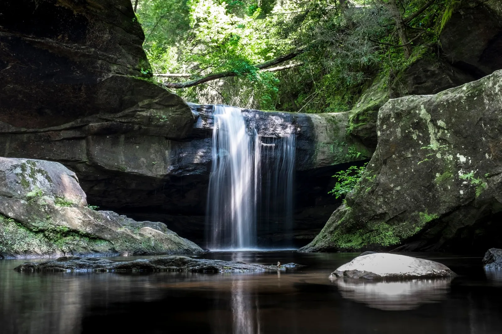
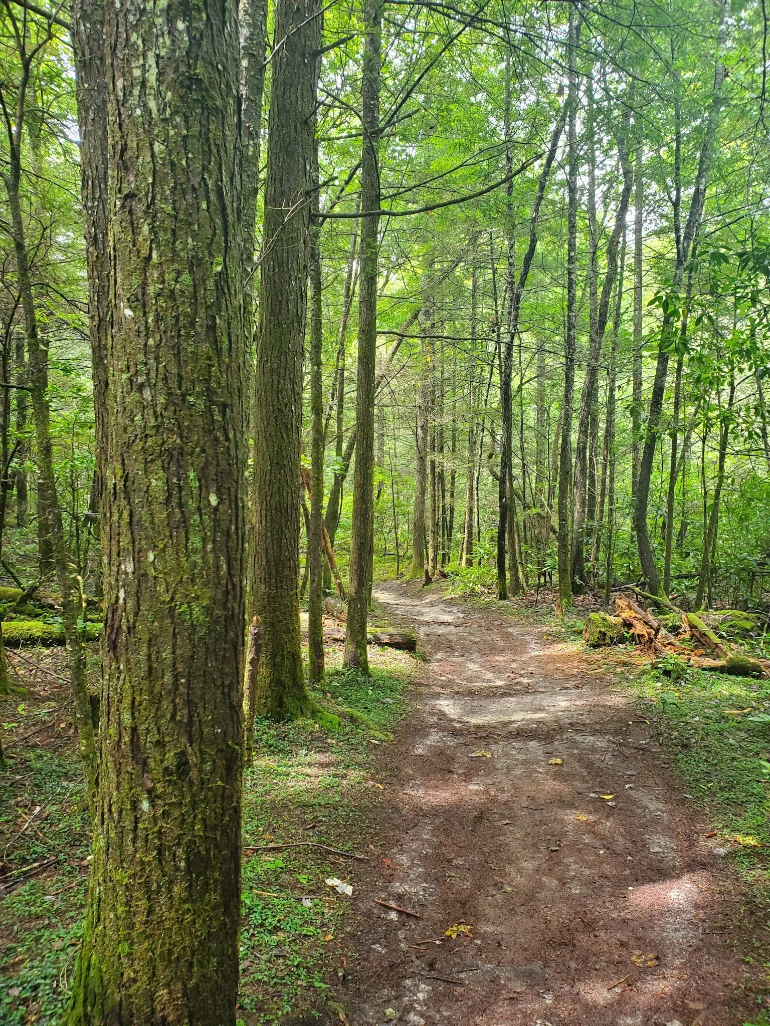
This is a desk-researched listing. A record update or map check does not confirm current swimming permission or water conditions.
Found an error? Send a correction with the location and a source. How we research listings.
Dog Slaughter Falls is a waterfall destination in Daniel Boone National Forest. Before travelling, check the Forest Service alerts for Dog Slaughter Falls Trail #414.
The current alerts list describes storm damage and a closure between the two trailheads. It says the lower trailhead and parking area closest to the falls remain open and the approach is passable to the falls. The alert identifies a removed bridge. Our former instruction to cross a footbridge is withdrawn; do not assume an intact crossing or enter the closed trail section.
This review has not established current swimming permission or a designated swimming area at the falls. An open hiking approach does not confirm safe water entry. Do not rely on earlier claims of reliably clear water, quiet conditions or child suitability. Check with the land manager before entering the water.
Different trailheads serve different routes. Confirm the open approach, current crossing conditions and distance before leaving. Old route descriptions and photographs may predate storm damage.
Check the Forest Service Dog Slaughter Falls Trail closure notice before travel. The alerts list identifies the lower trailhead closest to the falls as open, while the section between trailheads is closed. The bridge has been removed; former footbridge-crossing instructions are withdrawn. Confirm current access with the land manager and obey posted closures.
Partial trail closure, not a blanket closure of the falls. Confirm the lower approach and current crossing conditions. Hiking access does not establish swimming permission.
Confirm the entrance, parking arrangements, and legal access with the land manager. A map pin does not establish a public right of access. Follow posted routes and never block gates or driveways.
Current swimming permission has not been established. Follow trail closures and confirm water access with the land manager; the open lower hiking approach is not swimming clearance. Public park access does not necessarily include permission to swim. Respect private property and posted restrictions.
Water conditions can change quickly. This listing does not provide a current safety or water-quality assessment. Check official alerts and avoid entering water when conditions or permission are uncertain.
Nearby places from saved public map data, not necessarily facilities at the swimming spot. Confirm access, hours, fees, and amenities with the operator before you drive.
Map data retrieved 2026-06-15
Waterfall
Kentucky 40769
This waterfall in the Daniel Boone National Forest empties into a swimming hole.
Hiking area
Corbin, KY 40701
Hiking area
Forest Rd, Corbin, KY 40701
Campground
80 Robert E.Blair Memorial Highway, Corbin, KY 40701
Campground
3035 Grove Rd, Corbin, KY 40701
Campground
171 E City Dam Rd, Corbin, KY 40701
Tourist attraction
101 N Depot St, Corbin, KY 40701
Recreation center
409 Barbourville St, Corbin, KY 40701
The Forest Service alerts list describes a closure between the two trailheads. It identifies the lower trailhead and parking area closest to the falls as open and the route from there as passable. Check the latest notice before visiting.
Do not rely on those directions. The Forest Service lists a removed-bridge alert. Confirm current crossing conditions and follow posted instructions instead of assuming an intact bridge.
No. Hiking access does not establish swimming permission or safe water entry. This review has not confirmed a designated swimming area or current swimming authorization at the falls.
The origin of the falls' name has not been verified in this review.
Waterfall and forest scenery from open, permitted trail areas. Do not enter closed sections for photographs.
Follow Leave No Trace principles. Protect the delicate ecosystem by avoiding littering and staying on designated trails.
Browse every listed natural swimming spot in Kentucky.
Find similar waterfalls destinations across the directory.
See under-the-radar places and local favorites in the same state.
Compare easier-access destinations and safer planning options.
Explore waterfall-focused swimming destinations in Kentucky.
Use this safety guide before entering any natural water.
Safety & Access Notice
This information is for general planning only and may be incomplete, outdated, or inaccurate. Access rules, closures, water levels, currents, hazards, and legal restrictions can change at any time. Always verify current rules with the land manager or official source before visiting.
You are responsible for your own safety and for following all posted signs, laws, and local regulations. Read the full disclaimer.
Confirm current campground availability separately; no camping at the falls established by this review.
Loading weather data…
Safety & Access Notice
This information is for general planning only and may be incomplete, outdated, or inaccurate. Access rules, closures, water levels, currents, hazards, and legal restrictions can change at any time. Always verify current rules with the land manager or official source before visiting.
You are responsible for your own safety and for following all posted signs, laws, and local regulations. Read the full disclaimer.
Joshua Havens created Hidden Swimming Holes to make it easier for people to find — and safely visit — natural freshwater swimming destinations across the United States. He researches access conditions, water quality resources, and land management rules so you don't have to start from scratch. He holds a strong belief that good outdoor recreation information should be accurate, honest about its limitations, and freely available.
Discover other amazing natural swimming destinations across America