Restroom
Public bathroom
24.7 mi
Unnamed Road, Muskogee, OK 74403

Background: generated illustration, not a photograph of this location.
Check Boy Scout Hole access near Welling before travel. Find land-manager information, historical Baron Fork photos and cautions about camping and water entry.
Swimming permission unconfirmed
Confirm current access and permitted water activities with the land manager before travel. The saved September 21, 2026 Google record flags temporary closure; no primary reopening confirmation was found. Public creek access is not proof of today's swimming permission.
Official sources checked:
Status summarizes our reviewed record, not today's opening or safety. Check current rules, swimming boundaries and notices before visiting.
Location
A closer look
Photos show past visits, not current water levels or swimming conditions. Select a photo to view it larger.
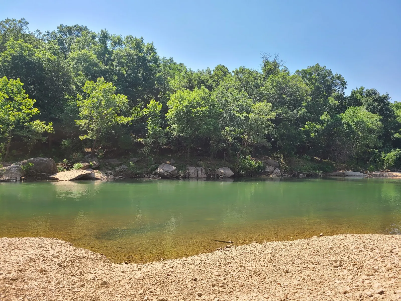
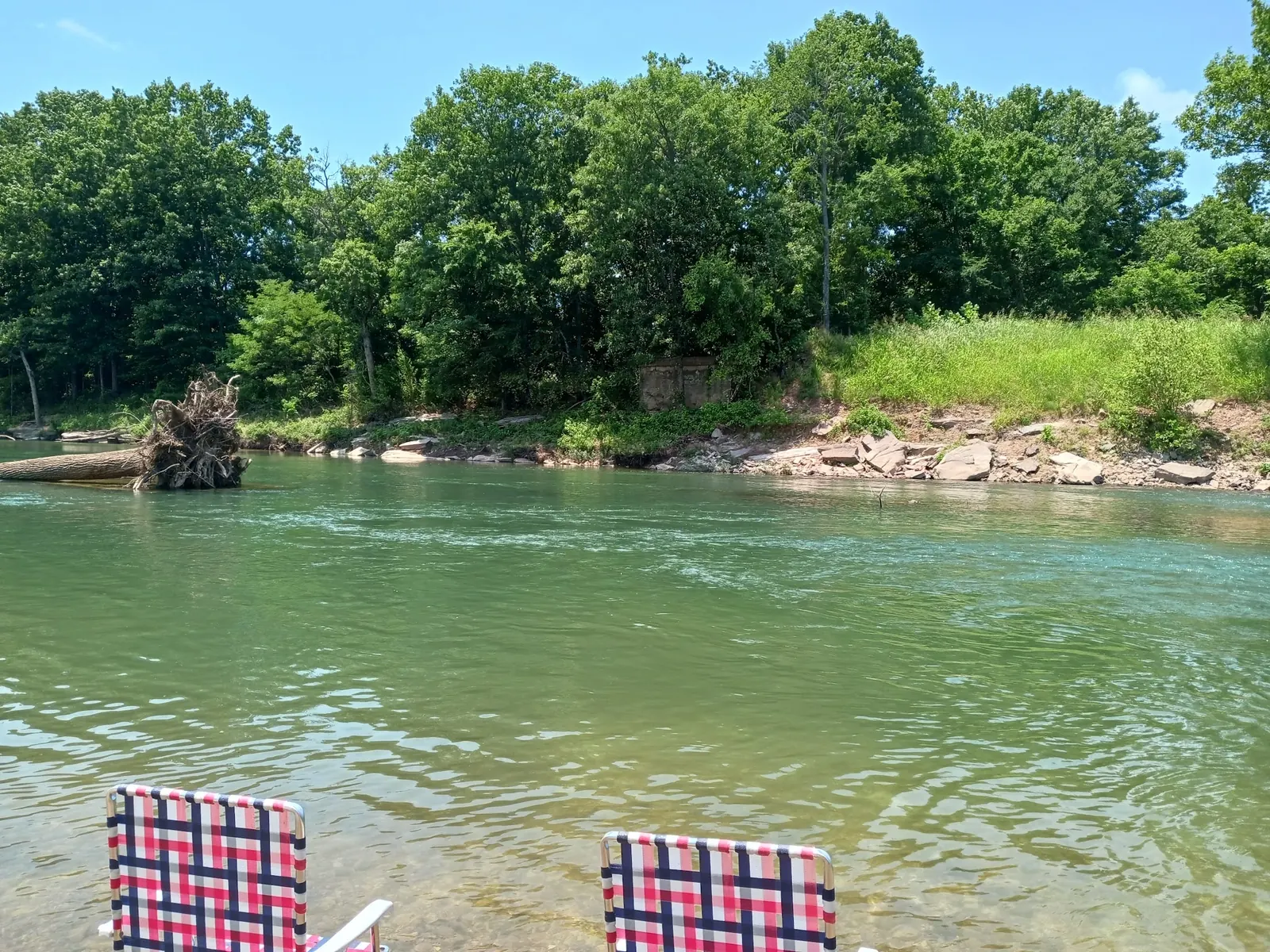
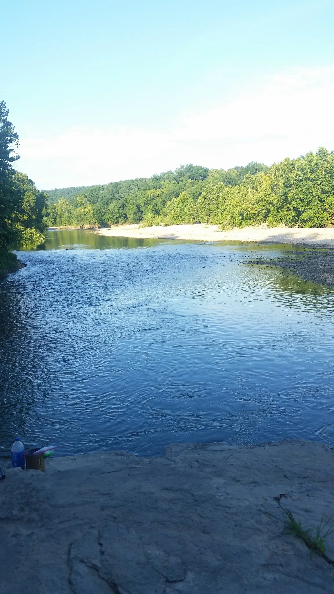
This is a desk-researched listing. A record update or map check does not confirm current swimming permission or water conditions.
Found an error? Send a correction with the location and a source. How we research listings.
This listing concerns Baron Fork Creek near Welling in eastern Oklahoma. The creek is a tributary of the Illinois River, not the main river channel. Our old page overstated water clarity, depths, jumping opportunities and informal access.
Oklahoma's wildlife department identifies Boy Scout Hole as a Corps-maintained public access. The 2025 GRDA map also identifies Corps management and lists 918-487-5252 as its contact. These references establish site context, not today's open gate or swimming permission.
Our saved Google place record from September 21, 2026 flags the site as temporarily closed. We have not established a current reopening notice from the manager. Confirm directly before traveling; do not bypass signs or gates. This listing is excluded from swimming recommendations while permission remains unverified.
ODWC says there is no public camping on this creek. A saved map category describing a camping farm does not override that guidance. Book an authorized campground separately and do not treat photographs of visitors' chairs as proof of overnight permission.
The reviewed photos show historical gravel banks, wooded shores and creek water. They do not prove safe depth, clear-water quality or present conditions. GRDA's river-safety advice discourages diving from bridges, bluffs, banks and trees. We do not recommend jumping here.
The retained pin is not a verified entrance. Ask the manager for current legal parking and the approach, rather than relying on roadside pull-offs or a neighboring bridge. If those details cannot be confirmed, choose a destination with clear current access information.
First confirm that Boy Scout Hole near Welling is open and obtain the current authorized approach from the land manager. The retained coordinates are an unverified historical reference, not a confirmed gate, parking lot or swimming entry. Older advice to use informal roadside pull-offs was not verified and is retired. Do not bypass gates, no-parking signs or private land, and do not assume a nearby bridge is this destination.
The saved Google record collected September 21, 2026 reports temporary closure. That is a dated warning, not independent confirmation of today's status or a reason to invent a reopening date. Corps management is supported by the official access article and 2025 regional map. Confirmation remains necessary before any visit.
Confirm the entrance, parking arrangements, and legal access with the land manager. A map pin does not establish a public right of access. Follow posted routes and never block gates or driveways.
Confirm current access and permitted water activities with the land manager before travel. The saved September 21, 2026 Google record flags temporary closure; no primary reopening confirmation was found. Public creek access is not proof of today's swimming permission. Public park access does not necessarily include permission to swim. Respect private property and posted restrictions.
Water conditions can change quickly. This listing does not provide a current safety or water-quality assessment. Check official alerts and avoid entering water when conditions or permission are uncertain.
Nearby places from saved public map data, not necessarily facilities at the swimming spot. Confirm access, hours, fees, and amenities with the operator before you drive.
Map data retrieved 2026-06-15
Public bathroom
Unnamed Road, Muskogee, OK 74403
Parking garage
110 W Broadway St, Muskogee, OK 74401
Campground
Muskogee, OK 74403
Park
1120 S 2nd St, Muskogee, OK 74401
Public bathroom
Muskogee, OK 74401
RV park
1300 S 32nd St, Muskogee, OK 74401
Public bathroom
Muskogee, OK 74401
RV park
8215 Oktaha Rd, Muskogee, OK 74401
Opening has not been confirmed. The saved September 21, 2026 Google record flags temporary closure; check directly with the manager rather than assuming it has reopened.
Official regional sources identify Corps management. GRDA's 2025 map lists 918-487-5252 as the Corps contact, not a dedicated on-site reception desk.
ODWC states there is no public camping on Barren Fork Creek. Arrange an authorized campground elsewhere; a map category is not camping permission.
No. The historical coordinates are retained as an unverified reference. Obtain current legal parking and approach details before travel.
No. They are historical destination context, not current water tests, measured depths, permission to enter or a jumping recommendation.
This listing concerns the Welling-area creek access, not a similarly named Boy Scout Hole in another state. No specific local-history claim established by this review.
Historical creek, gravel shoreline and wooded-bank context. The gallery does not establish today's opening, a legal water entry, a safe depth or a permitted picnic setup.
Respect gates, parking restrictions and property boundaries. Carry out litter and avoid damaging creek banks; do not drive through water or onto gravel bars to create an informal approach.
Browse every listed natural swimming spot in Oklahoma.
Find similar river destinations across the directory.
See under-the-radar places and local favorites in the same state.
Compare easier-access destinations and safer planning options.
Use this safety guide before entering any natural water.
Safety & Access Notice
This information is for general planning only and may be incomplete, outdated, or inaccurate. Access rules, closures, water levels, currents, hazards, and legal restrictions can change at any time. Always verify current rules with the land manager or official source before visiting.
You are responsible for your own safety and for following all posted signs, laws, and local regulations. Read the full disclaimer.
ODWC states that there is no public camping on Barren Fork Creek. Arrange an authorized campground separately; the saved Google camping-farm category is not permission to stay here.
Loading weather data…
Safety & Access Notice
This information is for general planning only and may be incomplete, outdated, or inaccurate. Access rules, closures, water levels, currents, hazards, and legal restrictions can change at any time. Always verify current rules with the land manager or official source before visiting.
You are responsible for your own safety and for following all posted signs, laws, and local regulations. Read the full disclaimer.
Joshua Havens created Hidden Swimming Holes to make it easier for people to find — and safely visit — natural freshwater swimming destinations across the United States. He researches access conditions, water quality resources, and land management rules so you don't have to start from scratch. He holds a strong belief that good outdoor recreation information should be accurate, honest about its limitations, and freely available.
Discover other amazing natural swimming destinations across America