Ashville Pond Fishing Area
Fishing area
0.1 mi
4.7 (20)
Canonchet Rd, Hopkinton, RI 02833
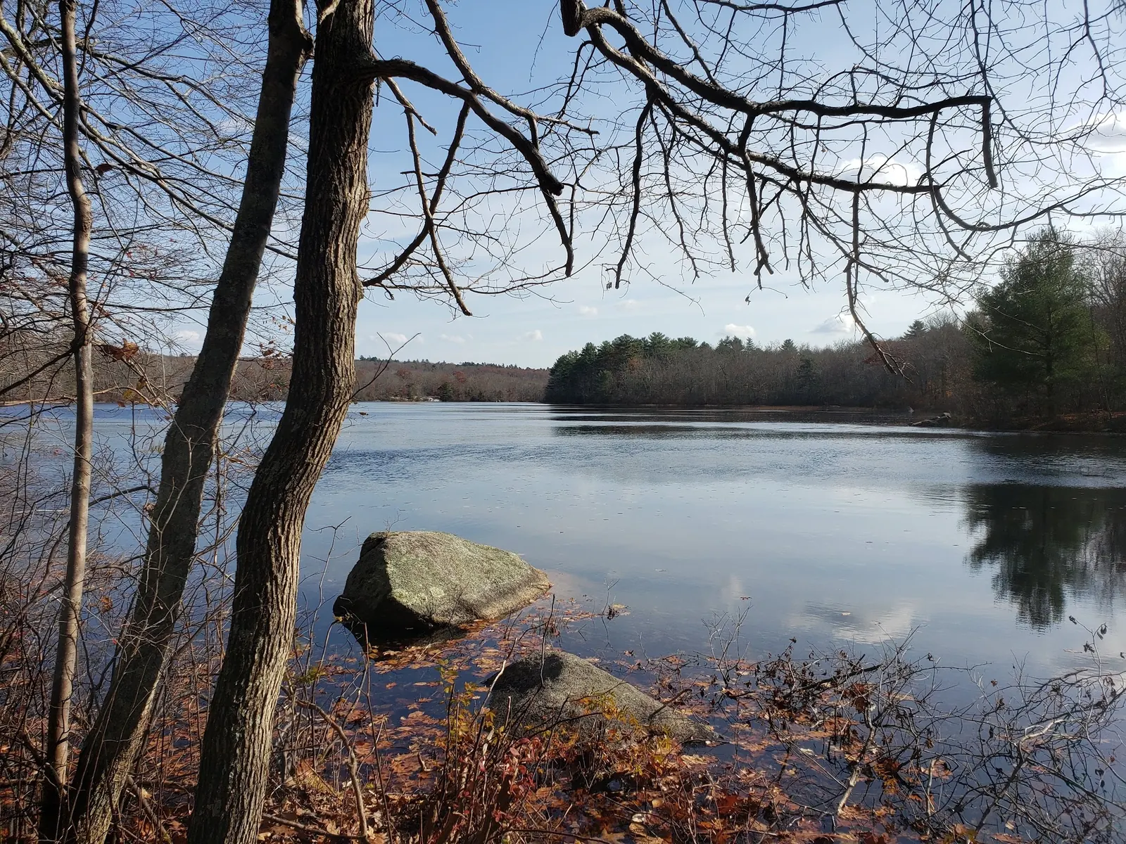
Plan an Ashville Pond visit in Hopkinton with Rockville location context, separate boat access guidance, swimming-status limits, five photos and reviewed FAQs.
Swimming permission unconfirmed
Fishing and boat-launch access do not establish swimming permission. Follow current signs and confirm permitted water activities with DEM.
Official sources checked:
Status summarizes our reviewed record, not today's opening or safety. Check current rules, swimming boundaries and notices before visiting.
Location
A closer look
Photos show past visits, not current water levels or swimming conditions. Select a photo to view it larger.
This is a desk-researched listing. A record update or map check does not confirm current swimming permission or water conditions.
Found an error? Send a correction with the location and a source. How we research listings.
Ashville Pond is in Hopkinton, Rhode Island. A December 2018 DEM conservation release identifies it among Rockville Management Area's four freshwater ponds. This is Rockville, not Arcadia; the release's newly protected Blue Pond shoreline is a separate location.
DEM's public boat-launch list identifies state-operated Ashville Pond access and a 10 HP motor limit. That is boating guidance, not authorization to swim. Current swimming permission, lifeguard coverage, water quality and an appropriate swimming entrance remain unverified. Previous family-swimming and rock-jumping recommendations remain withdrawn.
The Blueways report describes Canonchet Road access for hand-carried boats and an eroded ramp unsuitable for trailered launches. Its approach, parking and accessibility details are historical, not a fresh inspection. Confirm current arrangements with the land manager and follow onsite signs. The retained map point is not a verified swimming entrance. No present restroom inventory, overnight permission or accessible water entry is promised.
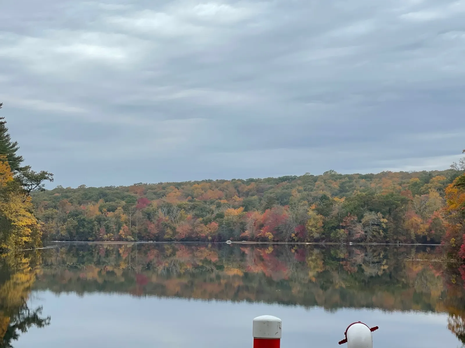
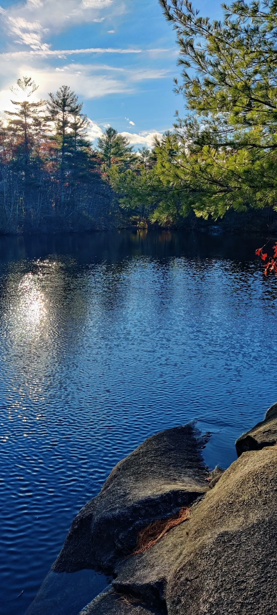
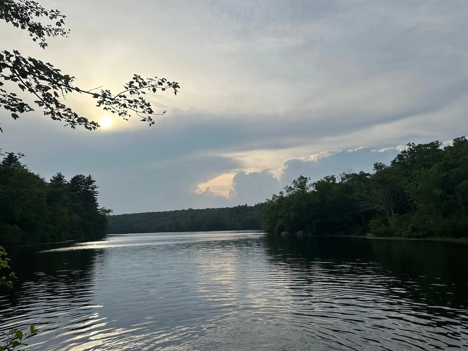
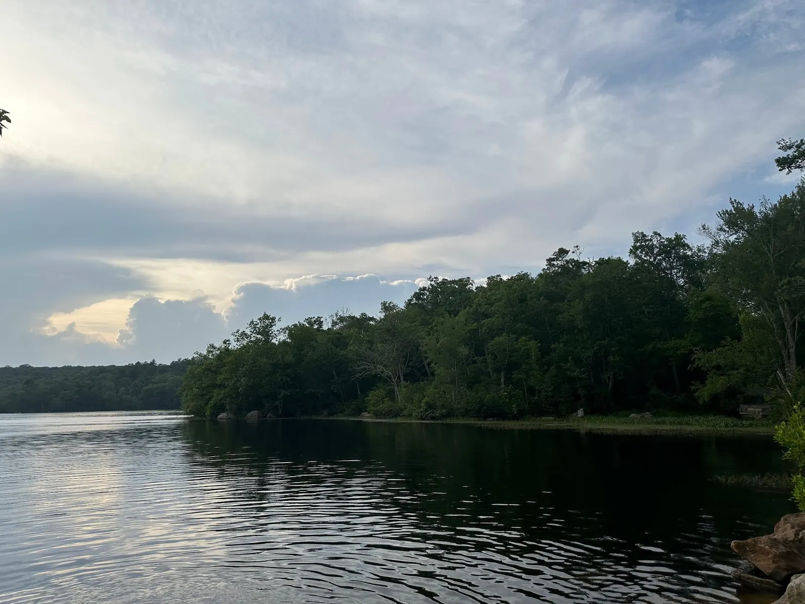
Five reviewed photographs show wooded banks, autumn reflections, shoreline rocks and a broad pond view beneath evening clouds. They document the pond setting, not today's conditions, safe depth or permission to enter the water. Visitors appearing in other saved photographs are not used as proof of permitted swimming.
Consult DEM's Ashville Pond boat-launch listing and Blueways Canonchet Road context for a paddling visit, then confirm current access locally. Do not treat the retained pond point, a boat launch or historical roadside pull-out as a verified swimming entrance.
DEM identifies state-operated boat access. Blueways describes a hand-carried boat approach; reconfirm current parking, ramp condition and restrictions before travel.
Confirm the entrance, parking arrangements, and legal access with the land manager. A map pin does not establish a public right of access. Follow posted routes and never block gates or driveways.
Fishing and boat-launch access do not establish swimming permission. Follow current signs and confirm permitted water activities with DEM. Public park access does not necessarily include permission to swim. Respect private property and posted restrictions.
Water conditions can change quickly. This listing does not provide a current safety or water-quality assessment. Check official alerts and avoid entering water when conditions or permission are uncertain.
Nearby places from saved public map data, not necessarily facilities at the swimming spot. Confirm access, hours, fees, and amenities with the operator before you drive.
Map data retrieved 2026-06-15
Fishing area
Canonchet Rd, Hopkinton, RI 02833
Wildlife refuge
Canonchet Rd, Hopkinton, RI 02833
Nature preserve
Main St, Hopkinton, RI 02833
Nature preserve
445 North Rd #433, Hopkinton, RI 02833
Campground
41 Sawmill Rd, Hope Valley, RI 02832
Campground
Rockville, RI 02873
Rest stop
I-95, Richmond, RI 02832
Park & ride
400 Main St, Hopkinton, RI 02833
DEM's conservation release identifies Ashville Pond in Rockville Management Area in Hopkinton, not Arcadia.
No. Boat access and motor restrictions are not swimming authorization. Current swimming permission and a suitable entrance remain unverified.
Blueways describes hand-carried boat access and an eroded ramp unsuitable for trailered launches. Confirm current ramp and parking conditions before travel.
No. Historical boat-access details do not establish a current accessible swimming route. Ask the land manager about your specific needs.
No. They show historical pond scenery, not current depth, water quality, lifeguard coverage or permission.
DEM's December 2018 conservation release identifies Ashville among Rockville's four freshwater ponds; its new Blue Pond parcel is separate from Ashville access.
Five reviewed pond views show wooded banks, seasonal reflections and shoreline rocks, not current conditions or swimming permission.
Ashville Pond is in Rockville Management Area, not Arcadia. Respect shoreline habitat, private boundaries and current signs; pack out litter.
Browse every listed natural swimming spot in Rhode Island.
Find similar pool destinations across the directory.
See under-the-radar places and local favorites in the same state.
Compare easier-access destinations and safer planning options.
Use this safety guide before entering any natural water.
Safety & Access Notice
This information is for general planning only and may be incomplete, outdated, or inaccurate. Access rules, closures, water levels, currents, hazards, and legal restrictions can change at any time. Always verify current rules with the land manager or official source before visiting.
You are responsible for your own safety and for following all posted signs, laws, and local regulations. Read the full disclaimer.
No overnight permission confirmed at this pond access.
Loading weather data…
Safety & Access Notice
This information is for general planning only and may be incomplete, outdated, or inaccurate. Access rules, closures, water levels, currents, hazards, and legal restrictions can change at any time. Always verify current rules with the land manager or official source before visiting.
You are responsible for your own safety and for following all posted signs, laws, and local regulations. Read the full disclaimer.
Joshua Havens created Hidden Swimming Holes to make it easier for people to find — and safely visit — natural freshwater swimming destinations across the United States. He researches access conditions, water quality resources, and land management rules so you don't have to start from scratch. He holds a strong belief that good outdoor recreation information should be accurate, honest about its limitations, and freely available.
Discover other amazing natural swimming destinations across America