Amnicon Falls State Park
State park
0.1 mi
4.8 (2126)
4279 County Rd U, South Range, WI 54874
Nature park featuring waterfalls & rapids on the Amnicon River, trails & camping.
Barbecue grillPicnic tablesPublic restroomSwings
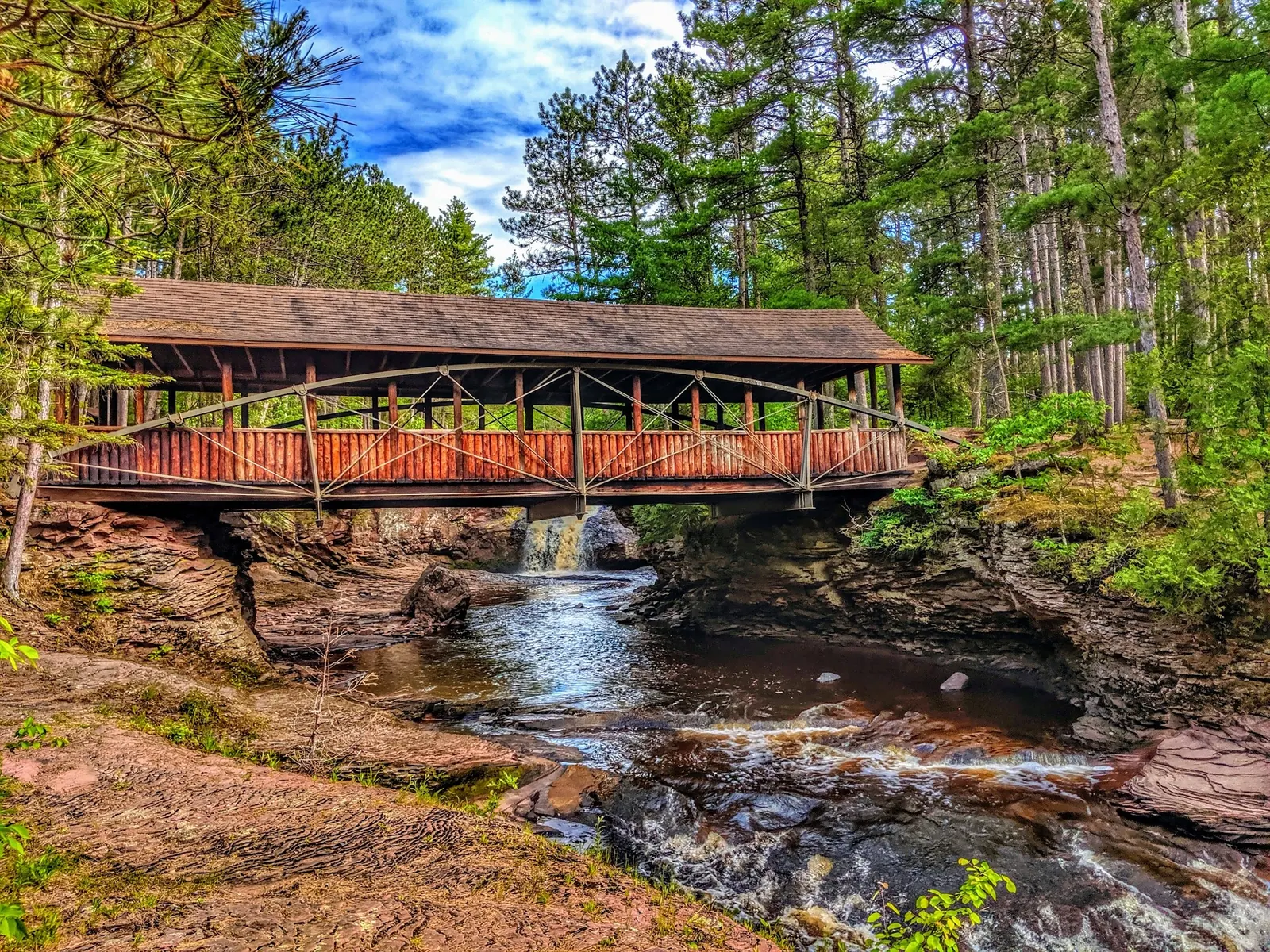
Background photo from a past visit, not current conditions. View photos and source links
Plan an Amnicon Falls visit with official river swimming restrictions, park hours, rustic camping details and reviewed photos near Superior, Wisconsin.
Swimming restriction
Swimming and wading are permitted with caution. No jumping or diving. There are no designated beaches or lifeguards; river conditions change and submerged rocks may be hidden.
Official sources checked:
Location
A closer look
Photos show past visits, not current water levels or swimming conditions. Select a photo to view it larger.
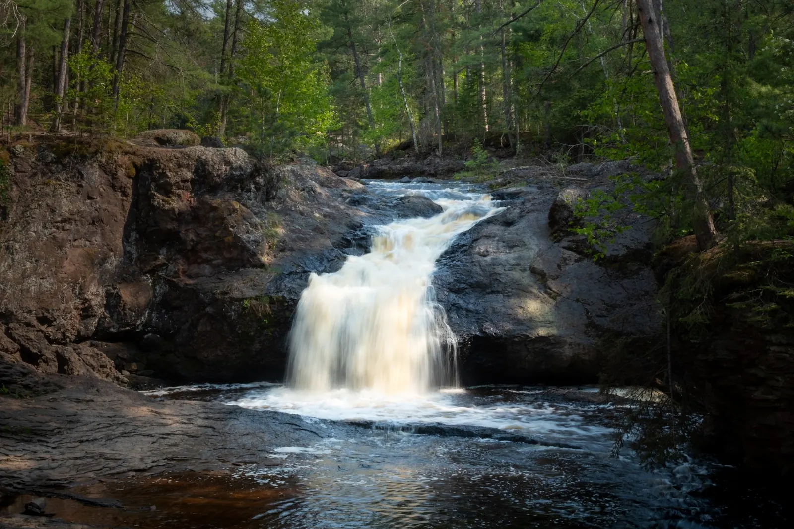
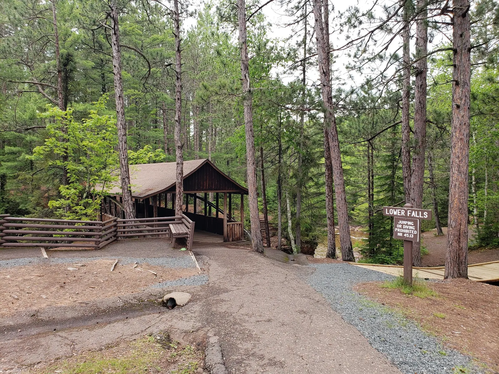
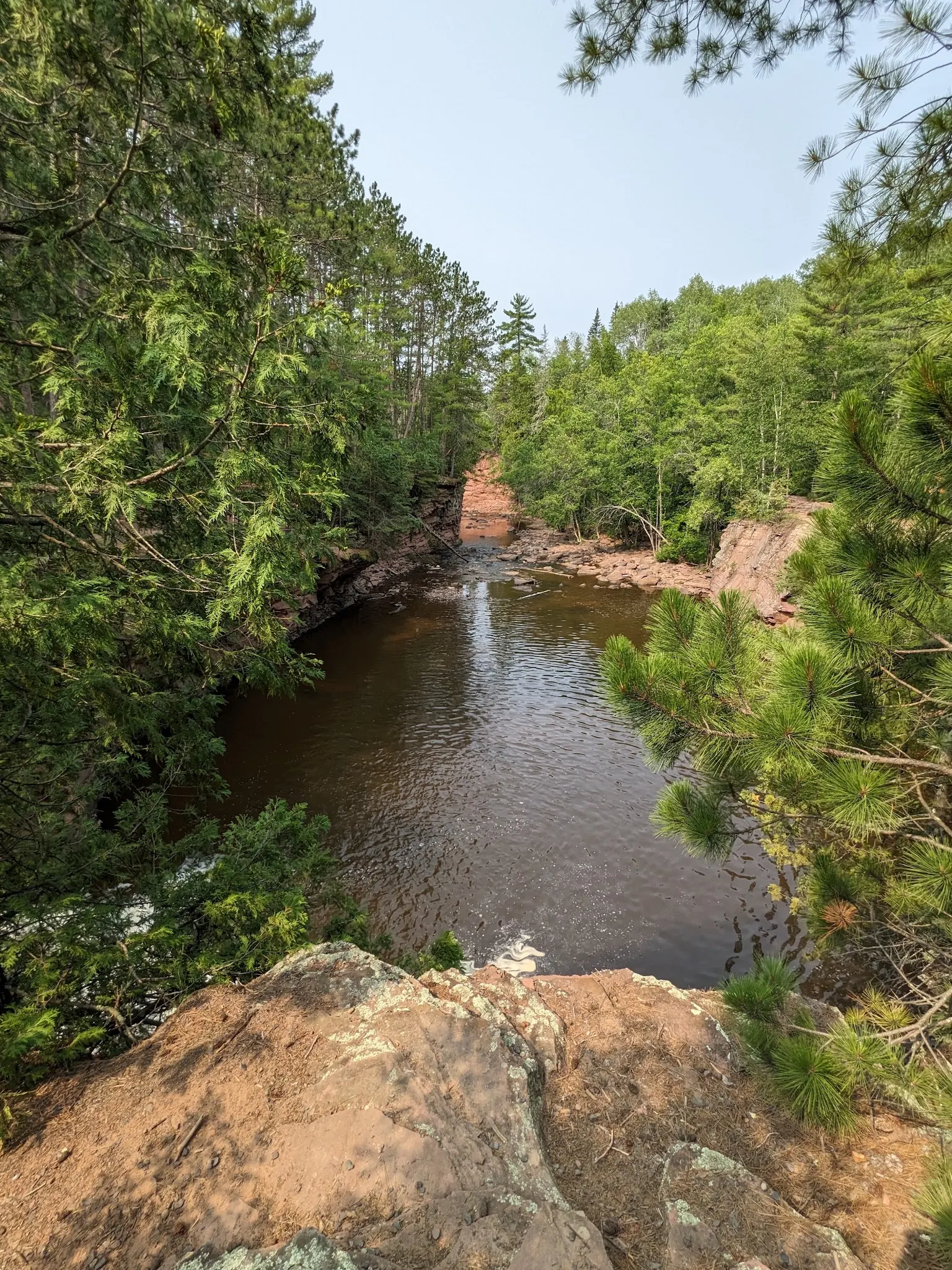
This is a desk-researched listing. A record update or map check does not confirm current swimming permission or water conditions.
Found an error? Send a correction with the location and a source. How we research listings.
Amnicon Falls State Park is near Superior in northwestern Wisconsin. Its waterfalls and covered footbridge offer a sightseeing trip even when you choose not to enter the water.
Swimming and wading are permitted with caution. No jumping or diving. There are no designated beaches or lifeguards; river conditions change and submerged rocks may be hidden. Supervise children continuously and obey closures. Permission is not a guarantee of suitable conditions.
Our earlier rock-slide recommendations have been withdrawn. Do not treat the falls as a water slide.
Use 4279 South County Highway U, South Range, WI 54874. Published park hours are 6 a.m. to 11 p.m. year-round, not a swimming schedule. A vehicle admission sticker is required. Call 715-398-3000 for park information.
The quarter-mile island trail views the Upper, Lower and Snake Pit falls. The Thimbleberry Nature Trail is 0.8 miles. Trail length is not an assessment of swimming difficulty or wheelchair access.
The rustic campground has 36 sites, vault toilets and drinking-water faucets. There are no electric hookups, showers or dump station, and generators are not allowed. Reserve camping separately.
Consult the swimming rules, visitor information, trail descriptions and camping details. Photos are historical, not evidence of today's conditions.
Use 4279 South County Highway U, South Range, WI 54874. Follow official directions and park signs. A swimming-entry coordinate has not been independently verified.
Published park hours: 6 a.m. to 11 p.m. year-round. These are not a swimming schedule. Check current park notices.
Confirm the entrance, parking arrangements, and legal access with the land manager. A map pin does not establish a public right of access. Follow posted routes and never block gates or driveways.
Swimming and wading are permitted with caution. No jumping or diving. There are no designated beaches or lifeguards; river conditions change and submerged rocks may be hidden. Public park access does not necessarily include permission to swim. Respect private property and posted restrictions.
Water conditions can change quickly. This listing does not provide a current safety or water-quality assessment. Check official alerts and avoid entering water when conditions or permission are uncertain.
Bring sturdy water shoes to protect your feet on rocks and slippery surfaces. A waterproof dry bag keeps your phone, keys, and valuables safe. Pack a quick-dry towel, sun protection, and drinking water - never drink from the natural water source.
Nearby places from saved public map data, not necessarily facilities at the swimming spot. Confirm access, hours, fees, and amenities with the operator before you drive.
Map data retrieved 2026-06-15
State park
4279 County Rd U, South Range, WI 54874
Nature park featuring waterfalls & rapids on the Amnicon River, trails & camping.
Parking lot
Park Rd, South Range, WI 54874
Campground
Wentworth, WI 54874
Mobile home park
3132 E 5th St, Superior, WI 54880
Campground
Oliver, WI 54880
State park
6294 WI-35, Superior, WI 54880
Scenic park with the state’s highest waterfalls plus hiking trails, beach, nature center & wildlife.
State government office
1425 Tower Ave, Superior, WI 54880
City park
Millenium Trail, Superior, WI 54880
Checking nearby USGS water conditions…
Reported fee information: Vehicle admission sticker required. Check the official Wisconsin DNR fee schedule. Verify current pricing with the managing agency before your visit.
Swimming and wading are permitted with caution. No jumping or diving. There are no designated beaches or lifeguards; river conditions change and submerged rocks may be hidden.
Amnicon Falls State Park is a river, falls on Amnicon River located in Wisconsin, near South Range. Plan an Amnicon Falls visit with official river swimming restrictions, park hours, rustic camping details and reviewed photos near Superior, Wisconsin.
Seasonal planning notes: Check conditions and closures for your date; no season guarantees suitable swimming conditions. Water levels, clarity, and temperature vary with recent weather. Check current conditions before going, especially after rain or snowmelt.
Reported facilities at Amnicon Falls State Park include: Campground has vault toilets and drinking-water faucets; no showers, electric hookups or dump station. Amenities can change - contact the managing agency or check recent visitor reports to confirm current availability.
36 rustic campsites. Book through the official reservation system. Generators are not allowed.
No jumping or diving. Supervise children and follow current restrictions.
Use established viewing areas and respect visitor privacy.
Respect barriers, use established trails and pack out litter.
Browse every listed natural swimming spot in Wisconsin.
Find similar river destinations across the directory.
See under-the-radar places and local favorites in the same state.
Compare easier-access destinations and safer planning options.
Use this safety guide before entering any natural water.
Safety & Access Notice
This information is for general planning only and may be incomplete, outdated, or inaccurate. Access rules, closures, water levels, currents, hazards, and legal restrictions can change at any time. Always verify current rules with the land manager or official source before visiting.
You are responsible for your own safety and for following all posted signs, laws, and local regulations. Read the full disclaimer.
36 rustic campsites. Book through the official reservation system. Generators are not allowed.
Loading weather data…
Safety & Access Notice
This information is for general planning only and may be incomplete, outdated, or inaccurate. Access rules, closures, water levels, currents, hazards, and legal restrictions can change at any time. Always verify current rules with the land manager or official source before visiting.
You are responsible for your own safety and for following all posted signs, laws, and local regulations. Read the full disclaimer.
Joshua Havens created Hidden Swimming Holes to make it easier for people to find — and safely visit — natural freshwater swimming destinations across the United States. He researches access conditions, water quality resources, and land management rules so you don't have to start from scratch. He holds a strong belief that good outdoor recreation information should be accurate, honest about its limitations, and freely available.
Discover other amazing natural swimming destinations across America