Wacissa Spring
Spring
0.1 mi
4.8 (35)
Wacissa, FL 32344

Background: generated illustration, not a photograph of this location.
Plan a Wacissa River visit from the headwaters park. Compare shoreline access with downstream Big Blue Spring, review county swimming rules, and explore river photos.
Swimming restriction
County rules prohibit swimming in boat-ramp areas and provide no lifeguards or water-safety equipment. Follow advisory signs and staff instructions; water clarity does not establish safe conditions.
Official sources checked:
Location
A closer look
Photos show past visits, not current water levels or swimming conditions. Select a photo to view it larger.
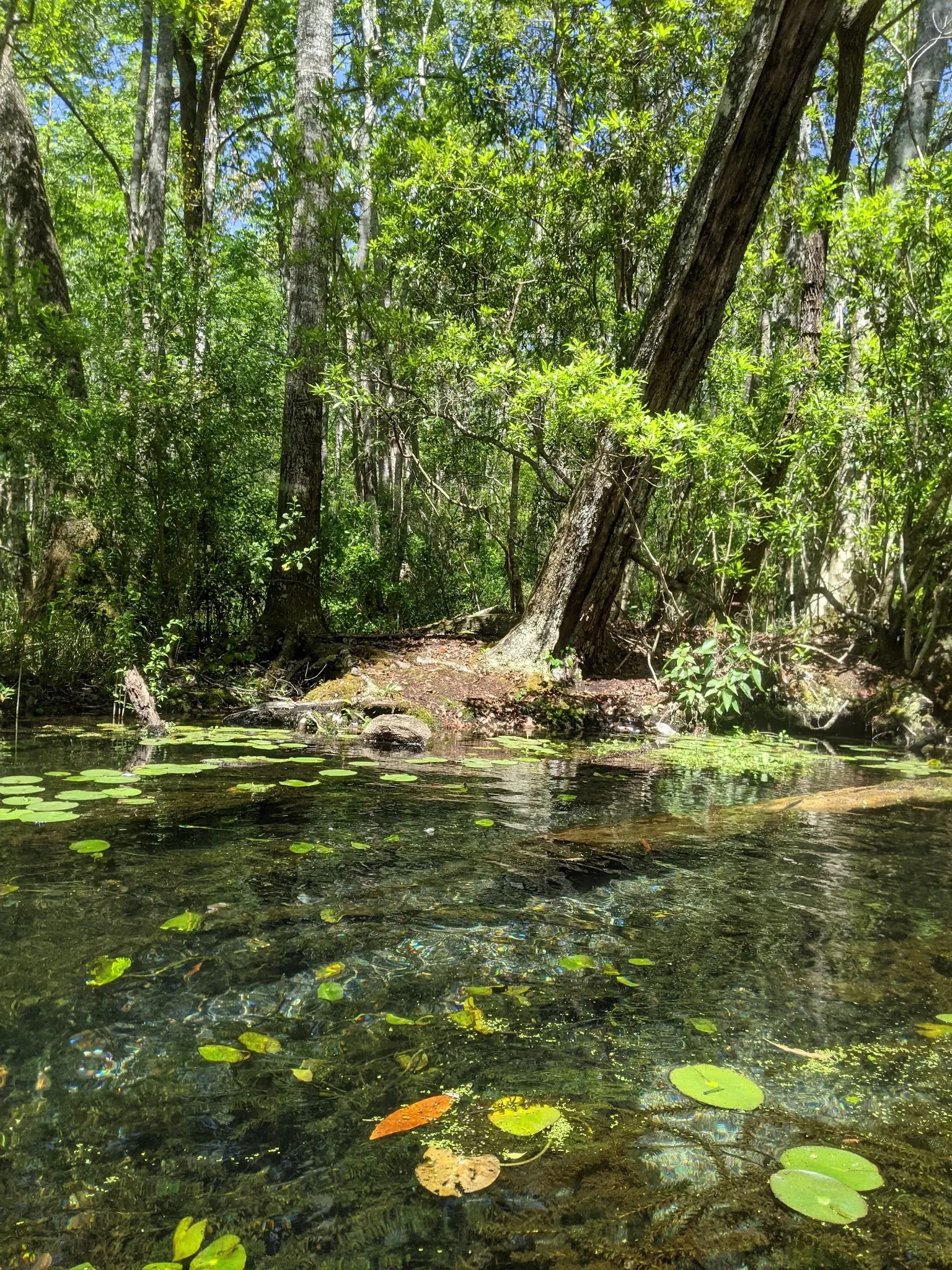
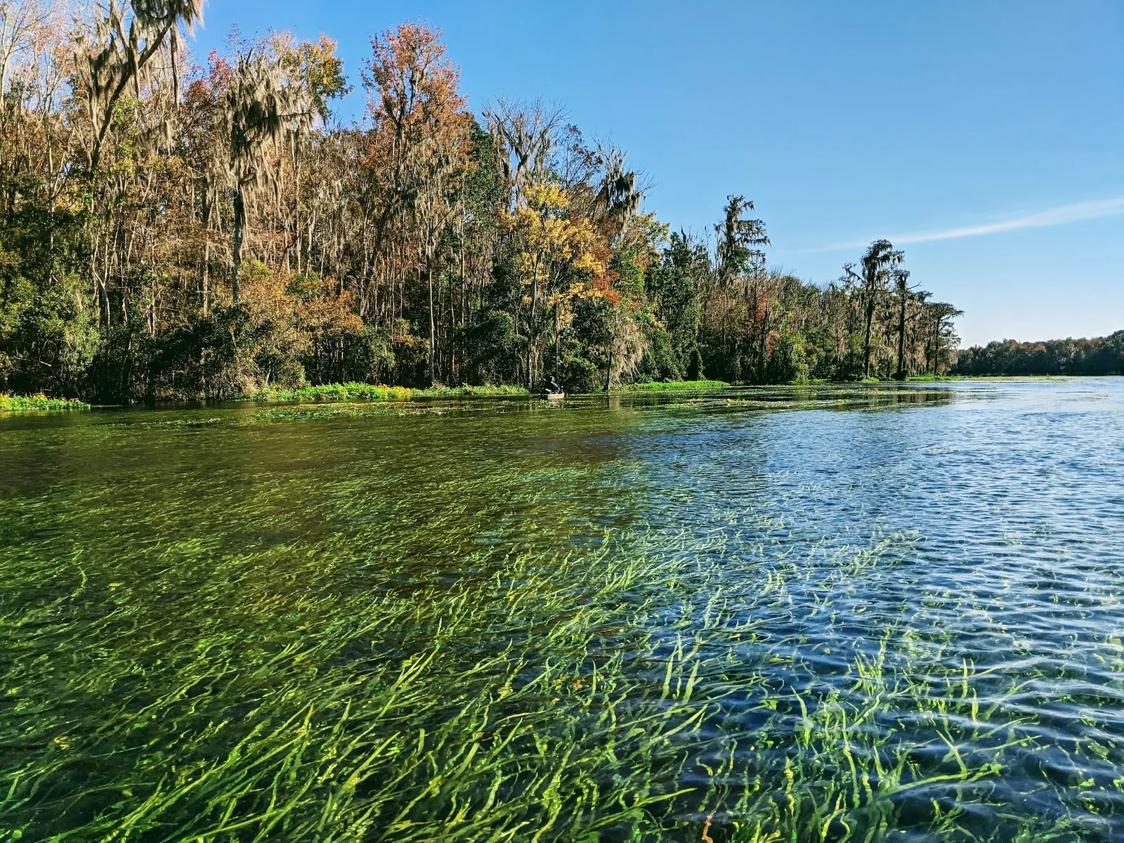
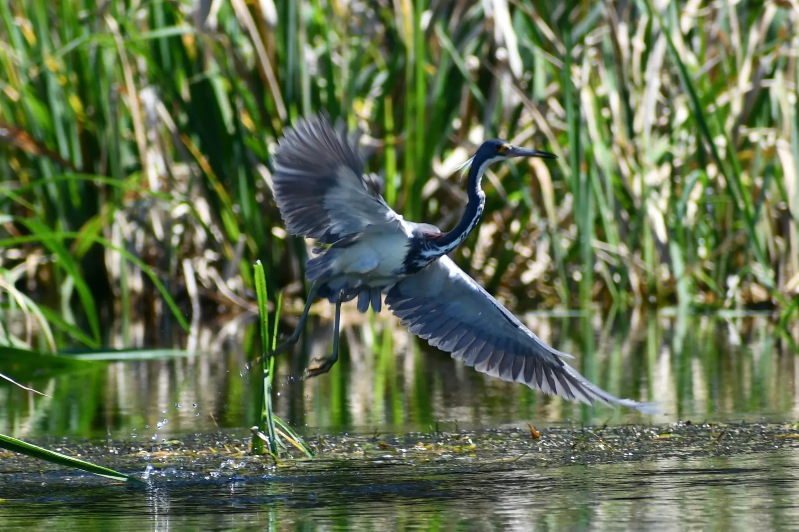
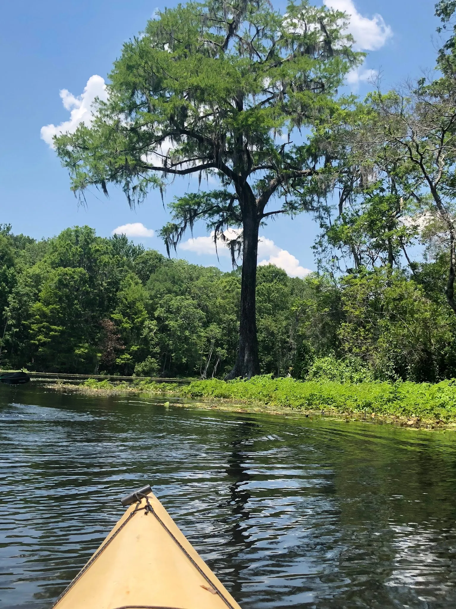
This is a desk-researched listing. A record update or map check does not confirm current swimming permission or water conditions.
Found an error? Send a correction with the location and a source. How we research listings.
Wacissa Springs County Park is the headwaters access, while Big Blue Spring is a separate downstream destination identified in the DEP paddling guide. Decide whether you want a shoreline visit or a paddle before planning transport and equipment.
The county ordinance prohibits swimming in boat-ramp areas. It supplies neither lifeguards nor water-safety equipment and makes swimming the visitor's responsibility. Check advisories and posted restrictions rather than assuming clear water is safe.
The DEP route follows SR 59 south from Wacissa, continues straight where the highway turns west, and ends at the park. The retained coordinates are a recreation-area reference, not a precise swimming entry. Restrooms and a paddle launch appear on the guide map; confirm their current availability.
This is natural water shared with wildlife and vessels, not a controlled swimming pool. Keep children closely supervised, stay out of launch areas and do not jump or dive. Arrange any rental or shuttle separately and confirm the intended route with the provider.
The gallery adds scenery and wildlife context from the saved Wacissa River photo association. These photos are not independently geolocated to a specific spring, beach or access point and do not demonstrate today's conditions. The DEP county overview provides broader spring-fed river context.
Follow the DEP guide to Wacissa Springs County Park: from Wacissa take SR 59 south, continue straight when SR 59 turns west, and follow the road to its end at the park. Use signs and designated parking. The map point is a recreation-area reference, not a verified water-entry point. Big Blue Spring is a separate downstream paddling destination.
Headwaters park access and downstream spring visits require different trip planning. A river-wide Google match or scenic gallery does not identify the swimming entry or authorize every shoreline.
Confirm the entrance, parking arrangements, and legal access with the land manager. A map pin does not establish a public right of access. Follow posted routes and never block gates or driveways.
County rules prohibit swimming in boat-ramp areas and provide no lifeguards or water-safety equipment. Follow advisory signs and staff instructions; water clarity does not establish safe conditions. Public park access does not necessarily include permission to swim. Respect private property and posted restrictions.
Water conditions can change quickly. This listing does not provide a current safety or water-quality assessment. Check official alerts and avoid entering water when conditions or permission are uncertain.
Bring sturdy water shoes to protect your feet on rocks and slippery surfaces. A waterproof dry bag keeps your phone, keys, and valuables safe. Pack a quick-dry towel, sun protection, and drinking water - never drink from the natural water source.
Nearby places from saved public map data, not necessarily facilities at the swimming spot. Confirm access, hours, fees, and amenities with the operator before you drive.
Map data retrieved 2026-06-15
Spring
Wacissa, FL 32344
Parking
Florida 32344
Wacissa is a small unincorporated community and census-designated place in Jefferson County, Florida, United States. As of the 2020 census, the population was 362, down from 386 at the 2010 census. It is part of the Tallahassee metropolitan area.
River
Florida 32344
The Wacissa River is a large, spring-fed stream located in south-central Jefferson County, Florida. Its headwaters are located about 1-mile south of the town of Wacissa, where the river emerges clear from a group of large limestone springs.
Campground
Monticello, FL 32344
Campground
346 KOA Rd, Monticello, FL 32344
Hiking area
Goose Pasture Rd, Monticello, FL 32344
Campground
1593 W Washington St, Monticello, FL 32344
Rest stop
Monticello, FL 32344
Checking nearby USGS water conditions…
No. County rules prohibit swimming in boat-ramp areas. Use only currently permitted areas and follow signs and advisories.
No. The county ordinance states it does not provide lifeguards or water-safety equipment. Swimming is at your own risk.
It is a separate downstream destination, not the headwaters park itself. Plan the appropriate paddle and return arrangements rather than expecting a parking-side spring visit.
No. They illustrate broader Wacissa River scenery and wildlife, not a verified beach, spring or water-entry point.
The Wacissa is a spring-fed tributary of the Aucilla. Consult the DEP guide for river geography rather than treating all named springs and landings as one site.
Four reviewed river-context photos show waterside vegetation, submerged plants, a wading bird in flight and a kayak view. They are not independently geolocated to the headwaters beach or Big Blue Spring.
Observe wildlife without approaching or feeding it. Avoid disturbing aquatic plants, pack out waste and use established access areas.
Browse every listed natural swimming spot in Florida.
Compare nearby options around Tallahassee before you choose a route.
Find similar river destinations across the directory.
See under-the-radar places and local favorites in the same state.
Compare easier-access destinations and safer planning options.
Use this safety guide before entering any natural water.
Safety & Access Notice
This information is for general planning only and may be incomplete, outdated, or inaccurate. Access rules, closures, water levels, currents, hazards, and legal restrictions can change at any time. Always verify current rules with the land manager or official source before visiting.
You are responsible for your own safety and for following all posted signs, laws, and local regulations. Read the full disclaimer.
No headwaters campsite established in this review. Goose Pasture camping is a separate downstream option requiring current manager confirmation.
Loading weather data…
Safety & Access Notice
This information is for general planning only and may be incomplete, outdated, or inaccurate. Access rules, closures, water levels, currents, hazards, and legal restrictions can change at any time. Always verify current rules with the land manager or official source before visiting.
You are responsible for your own safety and for following all posted signs, laws, and local regulations. Read the full disclaimer.
Joshua Havens created Hidden Swimming Holes to make it easier for people to find — and safely visit — natural freshwater swimming destinations across the United States. He researches access conditions, water quality resources, and land management rules so you don't have to start from scratch. He holds a strong belief that good outdoor recreation information should be accurate, honest about its limitations, and freely available.
Discover other amazing natural swimming destinations across America