Royalston Falls Parking Area
Parking lot
4 (1)
362 Athol-Richmond Rd, Royalston, MA 01368

Background: generated illustration, not a photograph of this location.
Plan the strenuous Royalston Falls hike with Trustees trail guidance, reviewed waterfall photos, winter parking cautions and clear limits on swimming information.
Swimming permission unconfirmed
Treat this as a waterfall-viewing hike. No swimming authorization was verified, and historical advice about entering the gorge has been withdrawn.
Official sources checked:
Status summarizes our reviewed record, not today's opening or safety. Check current rules, swimming boundaries and notices before visiting.
Location
A closer look
Photos show past visits, not current water levels or swimming conditions. Select a photo to view it larger.
This is a desk-researched listing. A record update or map check does not confirm current swimming permission or water conditions.
Found an error? Send a correction with the location and a source. How we research listings.
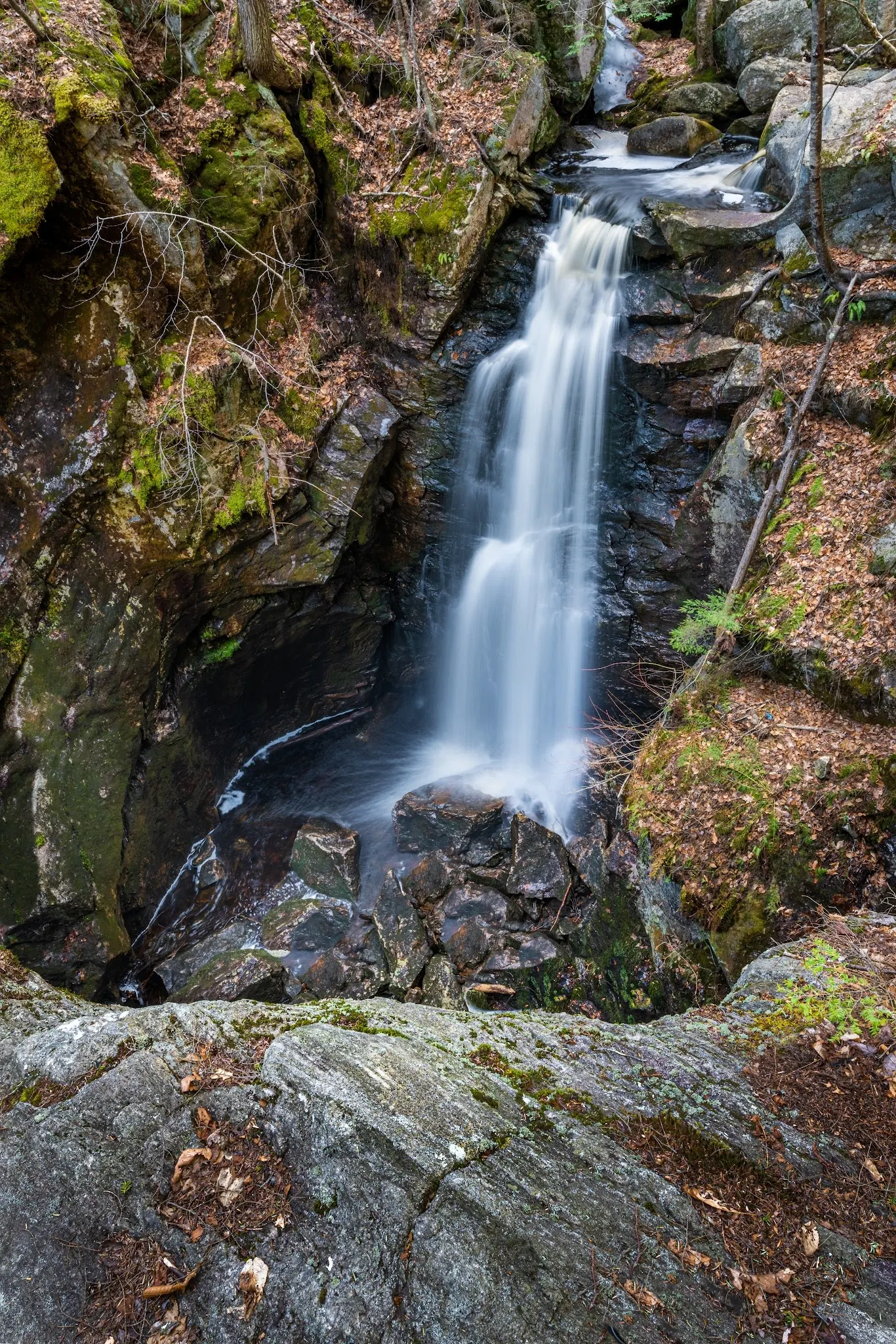
The Trustees property guide describes a 45-foot waterfall on Falls Brook in a granite gorge. Its visitor guidance supports hiking and waterfall viewing, but does not establish swimming permission. Historical advice about getting into the gorge is not a safe access recommendation.
Follow the Trustees directions for the Route 32 entrance near Newton Cemetery and consult the October 2021 trail map. That map labels Falls Road as not drivable. The retained historical pin is about 3.9 miles from the saved named falls record and should not be treated as a surveyed trailhead.
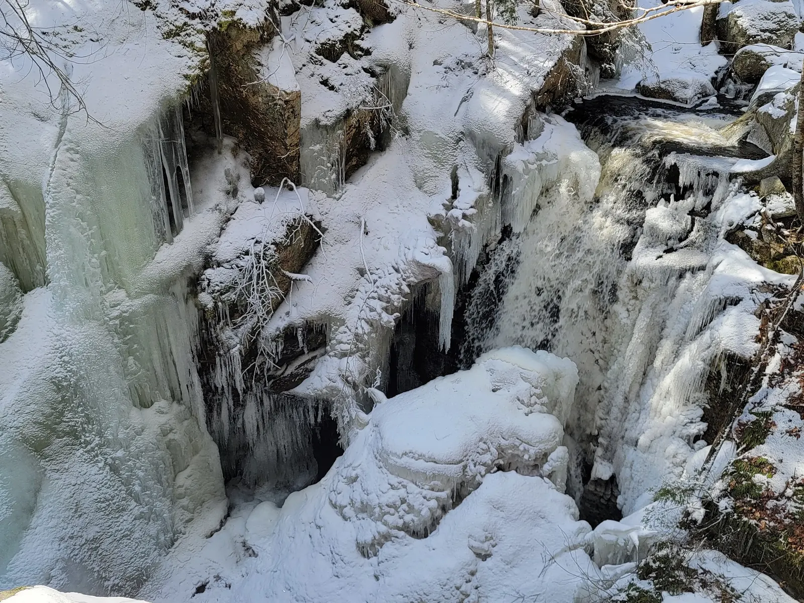
The Trustees warns of slippery terrain and does not recommend this hike for children under six. Keep dogs leashed and wear bright clothing during hunting season. Admission is listed as free, with sunrise-to-sunset access. Parking is not plowed in winter, so the winter photo is scenery context, not a promise of access.
An open-sided shelter is described for thru-hikers and section hikers on the connected trail network. This is not evidence of a general campground, drinking-water supply, lifeguard or swimming beach. Bring appropriate hiking supplies and check current property notices before travel.
Use the Trustees directions and trail map for the Route 32 entrance near Newton Cemetery. The official directions identify the entrance 1.7 miles north of the Route 68/32 junction. The historical pin is about 3.9 miles from the saved named falls point and is not a verified trailhead or water entrance. The October 2021 map labels Falls Road as dirt and not drivable; do not use it as a driving shortcut.
Retained historical coordinates are unverified. Trustees warns that parking is not plowed in winter; a snowy gallery image does not prove vehicle access.
Confirm the entrance, parking arrangements, and legal access with the land manager. A map pin does not establish a public right of access. Follow posted routes and never block gates or driveways.
Treat this as a waterfall-viewing hike. No swimming authorization was verified, and historical advice about entering the gorge has been withdrawn. Public park access does not necessarily include permission to swim. Respect private property and posted restrictions.
Water conditions can change quickly. This listing does not provide a current safety or water-quality assessment. Check official alerts and avoid entering water when conditions or permission are uncertain.
Nearby places from saved public map data, not necessarily facilities at the swimming spot. Confirm access, hours, fees, and amenities with the operator before you drive.
Map data retrieved 2026-06-15
Parking lot
362 Athol-Richmond Rd, Royalston, MA 01368
Hiking area
Royalston, MA 01368
Nature preserve
Doane Hill Rd, Royalston, MA 01368
Hiking area
385 Athol-Richmond Rd, Royalston, MA 01368
Campground
25 Doane Hill Rd, Royalston, MA 01368
Campground
85 Royalston Rd, Phillipston, MA 01331
Campground
2 Peaceful Pines, Templeton, MA 01468
Public bathroom
Athol, MA 01331
No. Reviewed Trustees guidance supports hiking and waterfall viewing but does not establish swimming permission.
The Trustees describes strenuous, slippery terrain and does not recommend it for children under six.
Do not use it as a shortcut. The October 2021 Trustees map labels Falls Road as dirt and not drivable; use the official entrance directions.
The Trustees says parking is not plowed in winter. Historical ice photos do not establish current road or trail access.
The property connects with the Tully Trail and New England Trail hiking network.
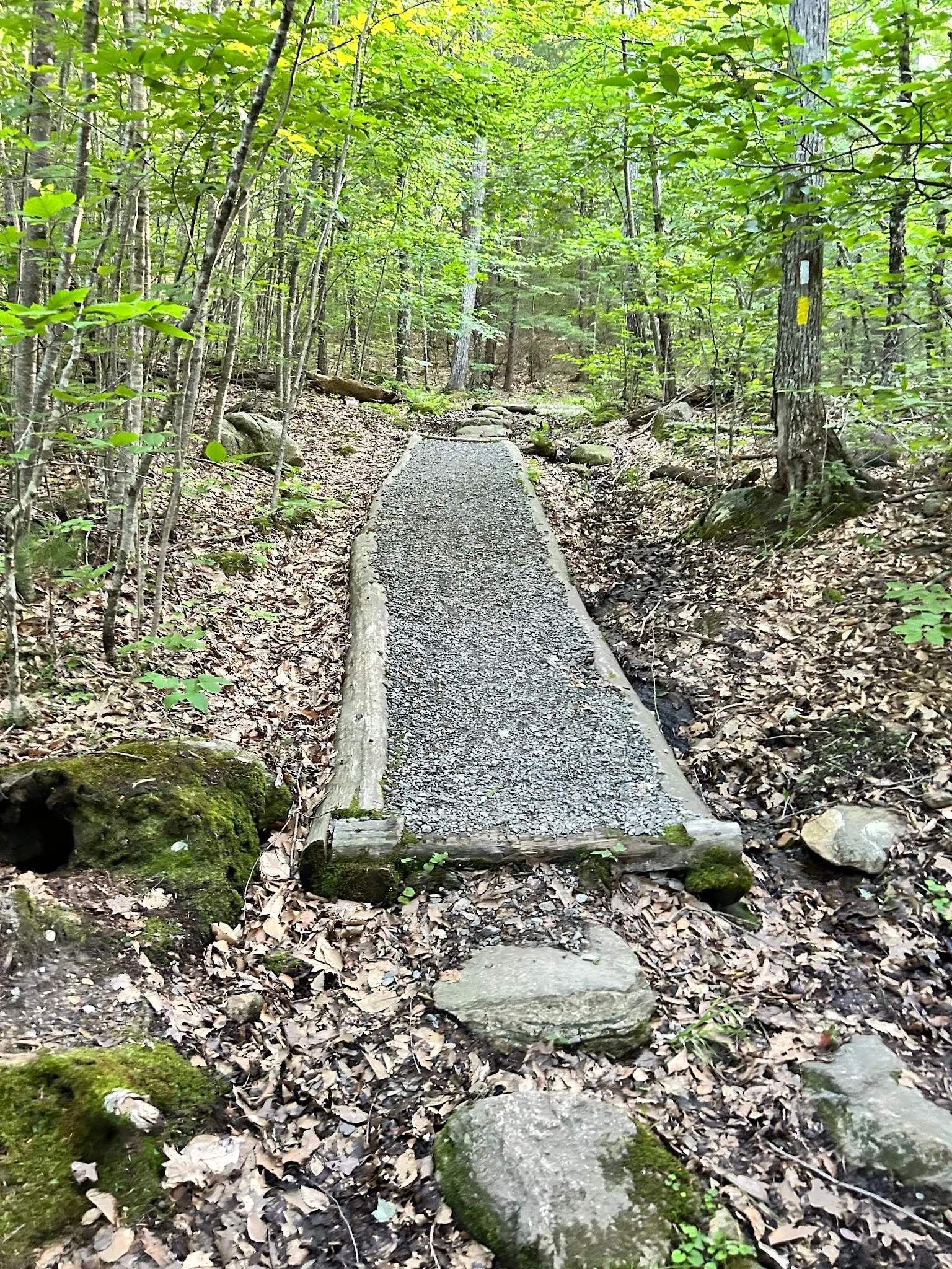
Three reviewed historical images show the waterfall, a marked woodland trail section and winter ice. They do not verify today's route condition or authorize gorge entry.
Stay on authorized paths, protect shoreline vegetation and pack out waste.
Browse every listed natural swimming spot in Massachusetts.
Find similar waterfalls destinations across the directory.
See under-the-radar places and local favorites in the same state.
Compare easier-access destinations and safer planning options.
Explore waterfall-focused swimming destinations in Massachusetts.
Use this safety guide before entering any natural water.
Safety & Access Notice
This information is for general planning only and may be incomplete, outdated, or inaccurate. Access rules, closures, water levels, currents, hazards, and legal restrictions can change at any time. Always verify current rules with the land manager or official source before visiting.
You are responsible for your own safety and for following all posted signs, laws, and local regulations. Read the full disclaimer.
The trail shelter is described for thru-hikers and section hikers, not as a general poolside campground. Check the Trustees for current permitted use.
Loading weather data…
Safety & Access Notice
This information is for general planning only and may be incomplete, outdated, or inaccurate. Access rules, closures, water levels, currents, hazards, and legal restrictions can change at any time. Always verify current rules with the land manager or official source before visiting.
You are responsible for your own safety and for following all posted signs, laws, and local regulations. Read the full disclaimer.
Joshua Havens created Hidden Swimming Holes to make it easier for people to find — and safely visit — natural freshwater swimming destinations across the United States. He researches access conditions, water quality resources, and land management rules so you don't have to start from scratch. He holds a strong belief that good outdoor recreation information should be accurate, honest about its limitations, and freely available.
Discover other amazing natural swimming destinations across America