Parking Lot
Parking lot
630 Co Rd T-1305, Buchanan, VA 24066

Background: generated illustration, not a photograph of this location.
Plan Roaring Run near Eagle Rock with trail information, five visitor FAQs and a five-photo gallery. Bring water; creek conditions and posted restrictions matter.
Location
A closer look
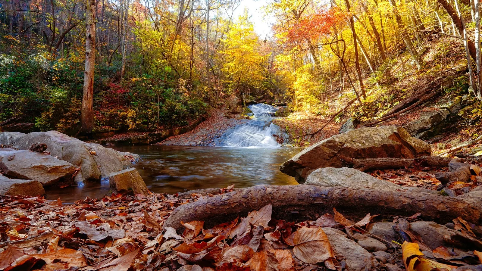
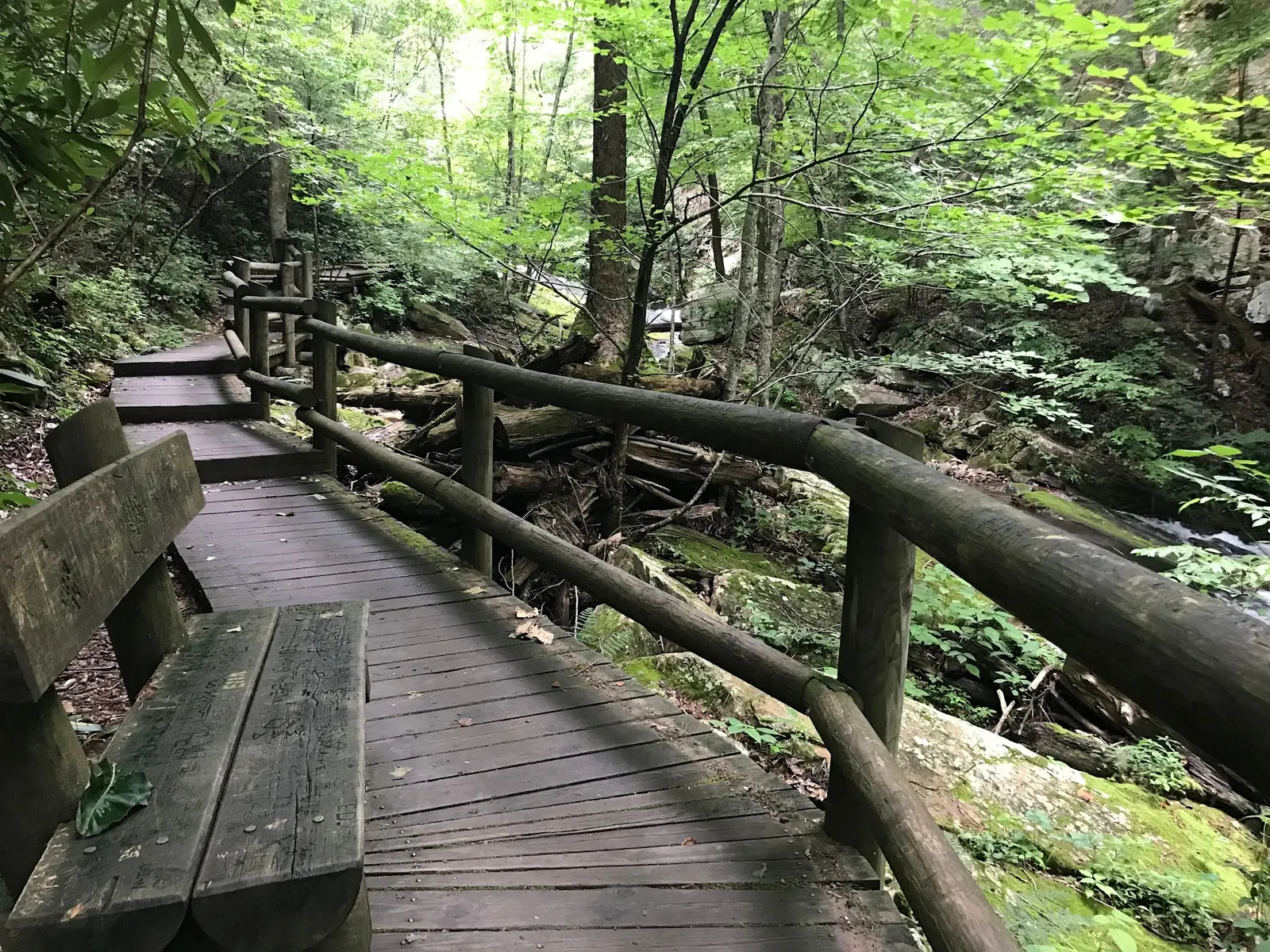
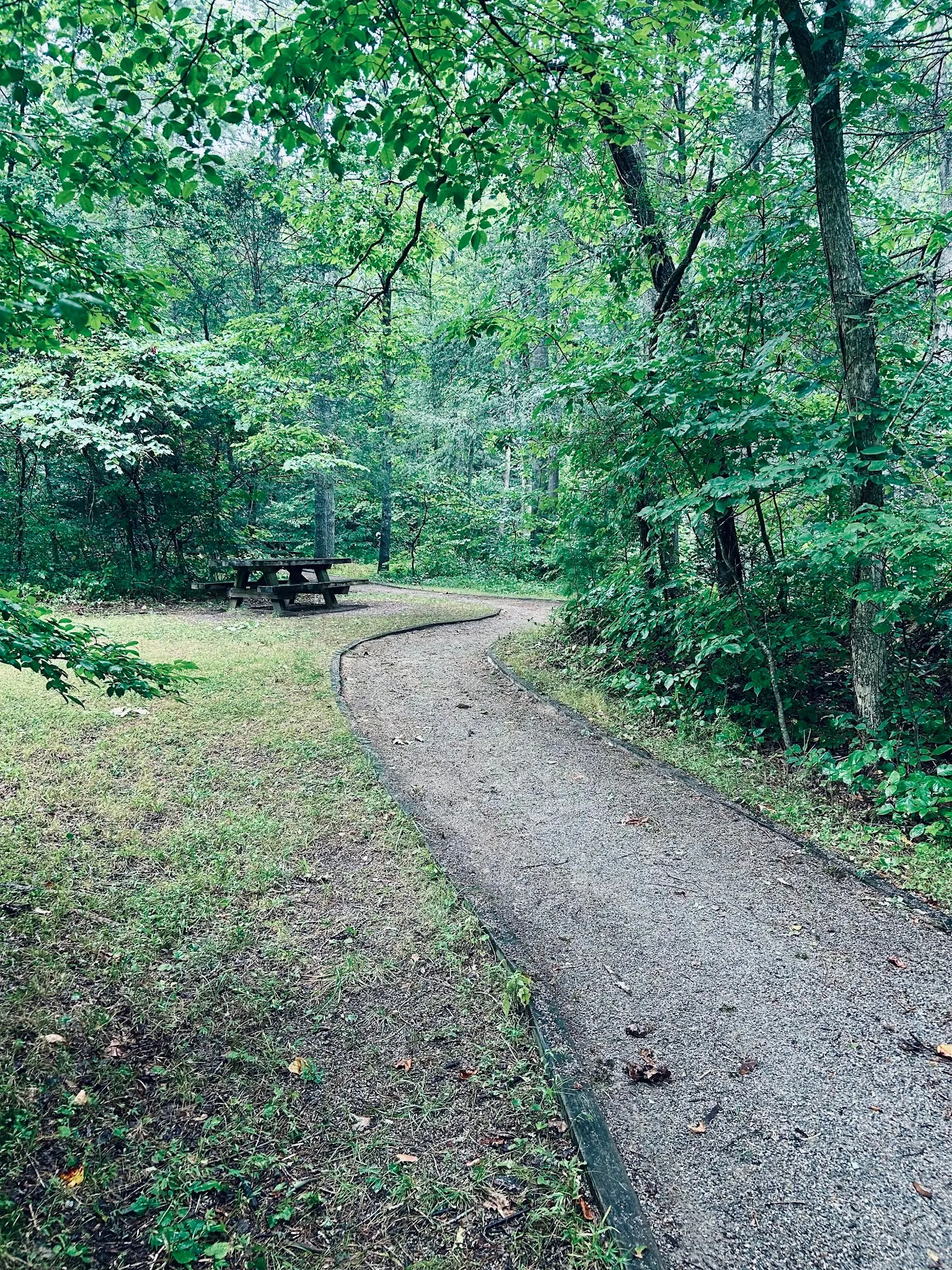
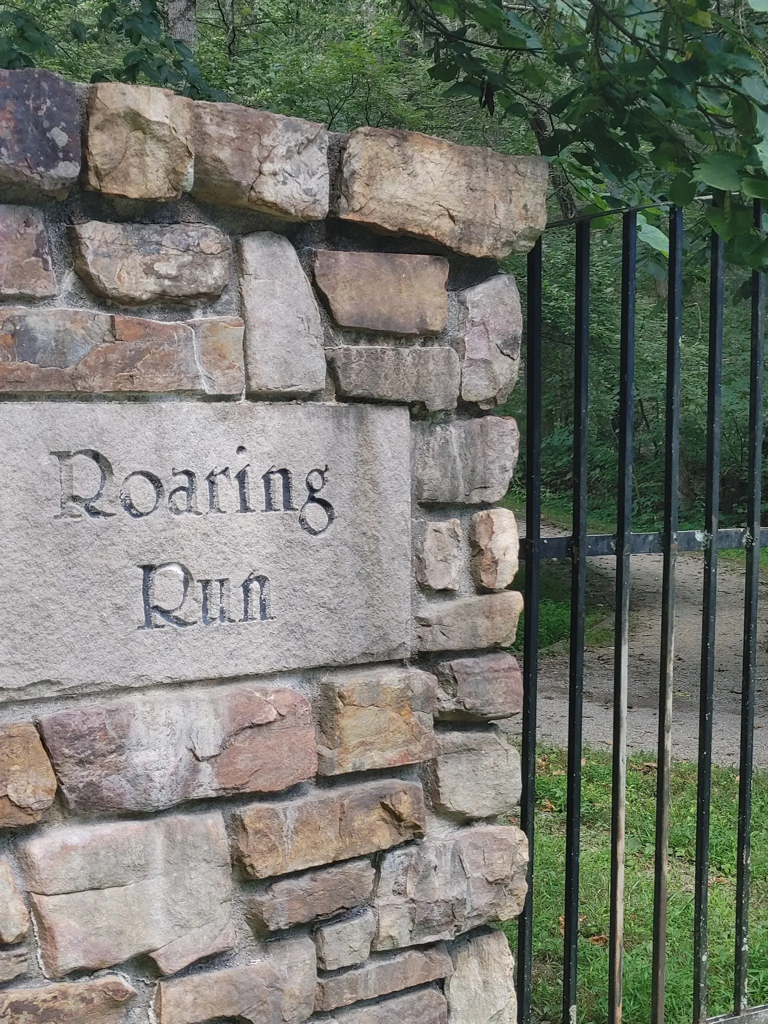
Photos show past visits, not current water levels or swimming conditions. Select a photo to view it larger.
This is a desk-researched listing. A record update or map check does not confirm current swimming permission or water conditions.
Found an error? Send a correction with the location and a source. How we research listings.
Recreation.gov identifies this Eagle Rock day-use destination with a 1.5-mile scenic loop, picnic spots, a trout stream and a historic iron furnace. It does not offer reservations through that website; this is not a closure notice or a campground booking.
The regional tourism guide, reviewed October 9, 2026, gives 450 Roaring Run Road, Eagle Rock, describes free sunrise-to-sunset access and lists vault toilets but no drinking water. Follow current signs; these details are tourism guidance rather than independently verified current Forest Service rules.
Streamside and Woodland trails form the loop. Tourism guidance warns against climbing slippery waterfall rocks. Its description of creek dipping is not blanket permission to enter any cascade. An easy hike does not establish safe water depth or conditions. Avoid jumping, diving and fast or rising water.
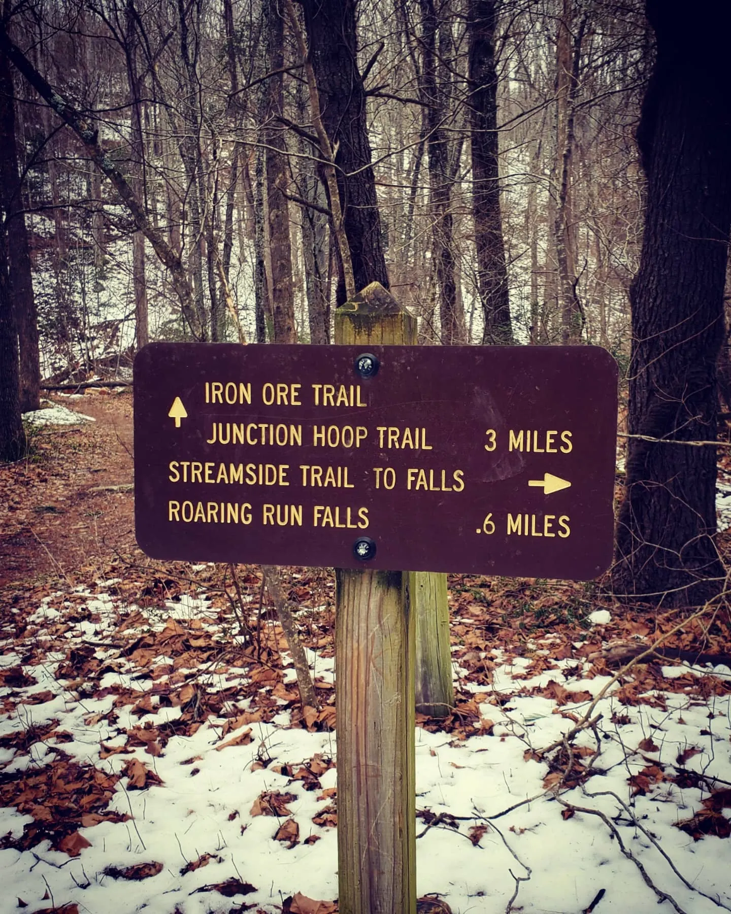
Five historical photos show the cascade, walkway, picnic setting, entrance and trail junction. Use them to understand the setting, not to certify today's gates, water conditions or accessible routes. The location pin remains withheld because its provenance is unverified; navigate by the published arrival address instead.
Use Roaring Run Day Use Area, 450 Roaring Run Road, Eagle Rock, VA 24085. Regional tourism directions from I-81 Exit 150 follow US 220 north to Craig Creek Road (Route 615), then Roaring Run Road (Route 621). Follow current recreation-area signs and park in the designated lot.
Regional tourism guidance lists sunrise-to-sunset day use. Follow posted restrictions, stay on designated trails and keep away from slippery rocks at the main waterfall. A reference to creek dipping does not guarantee a safe swimming depth.
Confirm the entrance, parking arrangements, and legal access with the land manager. A map pin does not establish a public right of access. Follow posted routes and never block gates or driveways.
Current swimming permission has not been independently confirmed for this listing. Check official rules, fees, hours, and closures before visiting. Public park access does not necessarily include permission to swim. Respect private property and posted restrictions.
Water conditions can change quickly. This listing does not provide a current safety or water-quality assessment. Check official alerts and avoid entering water when conditions or permission are uncertain.
Bring sturdy water shoes to protect your feet on rocks and slippery surfaces. A waterproof dry bag keeps your phone, keys, and valuables safe. Pack a quick-dry towel, sun protection, and drinking water - never drink from the natural water source.
Nearby places from saved public map data, not necessarily facilities at the swimming spot. Confirm access, hours, fees, and amenities with the operator before you drive.
Map data retrieved 2026-06-15
Parking lot
630 Co Rd T-1305, Buchanan, VA 24066
Hiking area
4503-4701 Parkway Dr, Buchanan, VA 24066
Hiking area
Blue Ridge Pkwy, Buchanan, VA 24066
Hiking area
450 Roaring Run Rd, Eagle Rock, VA 24085
Campground
1164 Middle Creek Rd, Buchanan, VA 24066
Park
18291 Main St, Buchanan, VA 24066
Campground
2252 N Creek Rd, Buchanan, VA 24066
Public bathroom
723 Shenandoah St, Harpers Ferry, WV 25425
Tourism guidance gives 450 Roaring Run Road, Eagle Rock, Virginia. Follow day-use signs; our unverified coordinate remains withheld.
Its Roaring Run Day Use Area page does not offer reservations. That statement does not mean the area is closed or provide an overnight booking.
Yes. The tourism guide lists no drinking water and vault toilets at parking.
Tourism guidance specifically warns against climbing the slippery waterfall rocks. A creek-dipping description is not blanket cascade access permission.
No. These historical images provide scenery and approach context, not current depth, flow, water quality or permission to swim.
Recreation.gov identifies a historic iron furnace that operated before the Civil War.
Five historical gallery views cover the cascade, walkway, picnic setting, entrance and trail junction. They do not establish current conditions, accessible-route certification or swimming permission.
Follow Leave No Trace principles, avoid disturbing wildlife, and stay on designated trails to protect the fragile ecosystem.
Browse every listed natural swimming spot in Virginia.
Find similar waterfalls destinations across the directory.
See under-the-radar places and local favorites in the same state.
Compare easier-access destinations and safer planning options.
Explore waterfall-focused swimming destinations in Virginia.
Use this safety guide before entering any natural water.
Safety & Access Notice
This information is for general planning only and may be incomplete, outdated, or inaccurate. Access rules, closures, water levels, currents, hazards, and legal restrictions can change at any time. Always verify current rules with the land manager or official source before visiting.
You are responsible for your own safety and for following all posted signs, laws, and local regulations. Read the full disclaimer.
Plan an overnight stay separately from this day-use visit.
Loading weather data…
Safety & Access Notice
This information is for general planning only and may be incomplete, outdated, or inaccurate. Access rules, closures, water levels, currents, hazards, and legal restrictions can change at any time. Always verify current rules with the land manager or official source before visiting.
You are responsible for your own safety and for following all posted signs, laws, and local regulations. Read the full disclaimer.
Joshua Havens created Hidden Swimming Holes to make it easier for people to find — and safely visit — natural freshwater swimming destinations across the United States. He researches access conditions, water quality resources, and land management rules so you don't have to start from scratch. He holds a strong belief that good outdoor recreation information should be accurate, honest about its limitations, and freely available.
Discover other amazing natural swimming destinations across America