100 Virginia St Garage
Parking lot
2.3 (3)
100 E Virginia St, Covington, VA 24426
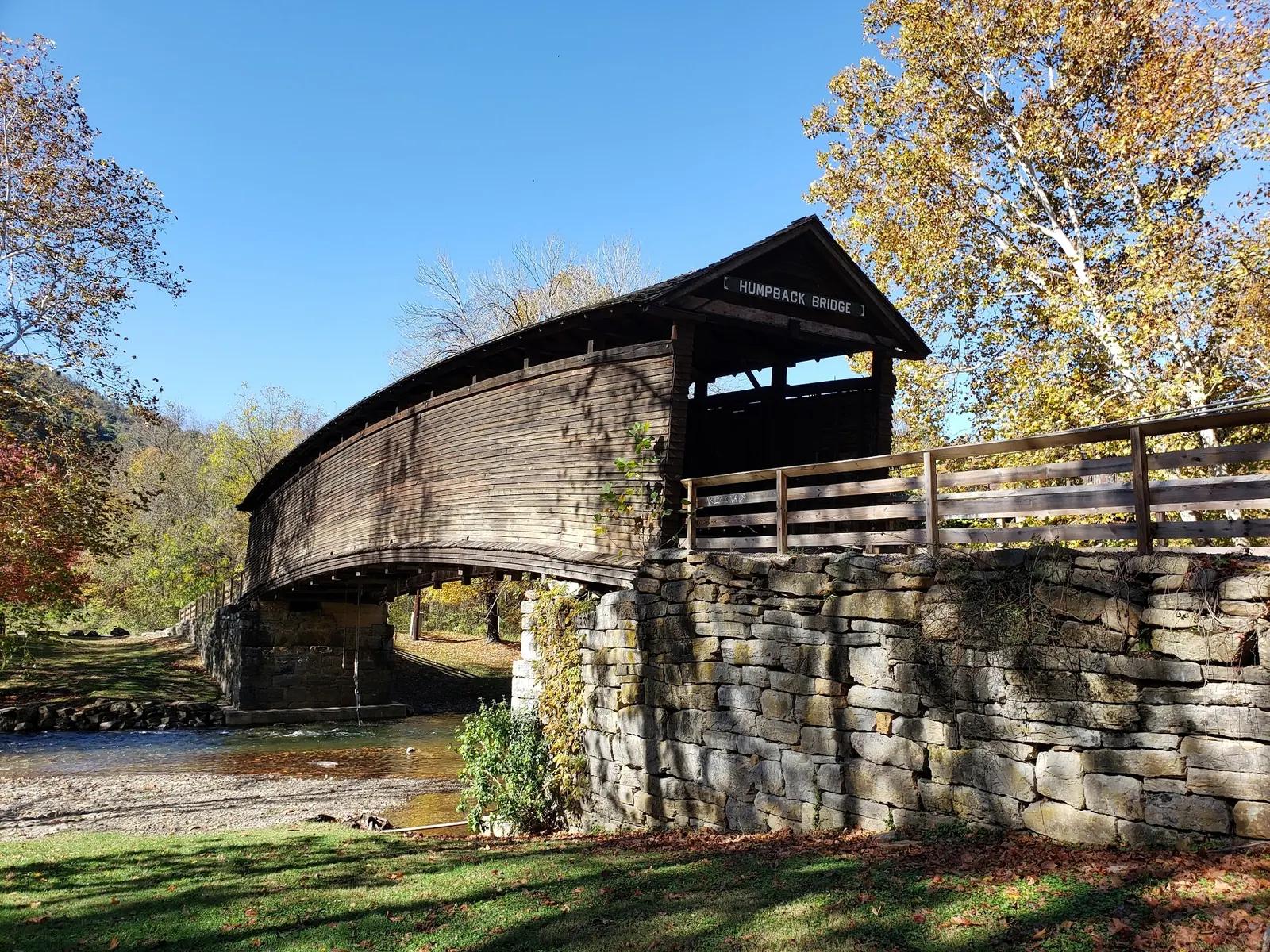
Background photo from a past visit, not current conditions. View photos and source links
Preview Virginia's Humpback Bridge near Covington with reviewed covered-bridge and creek photos, wayside picnic context and clear limits on unverified swimming access.
Swimming permission unconfirmed
Confirm current rules with the site operator before any water activity. Tourism descriptions and photographs of the creek do not establish swimming approval.
Location
A closer look
Photos show past visits, not current water levels or swimming conditions. Select a photo to view it larger.
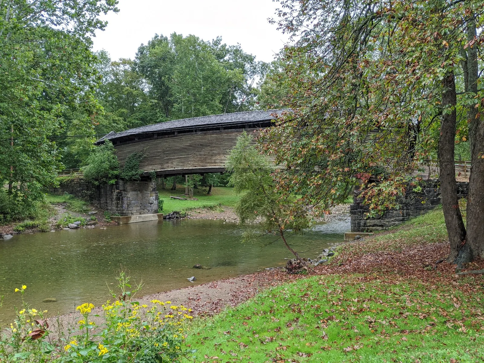
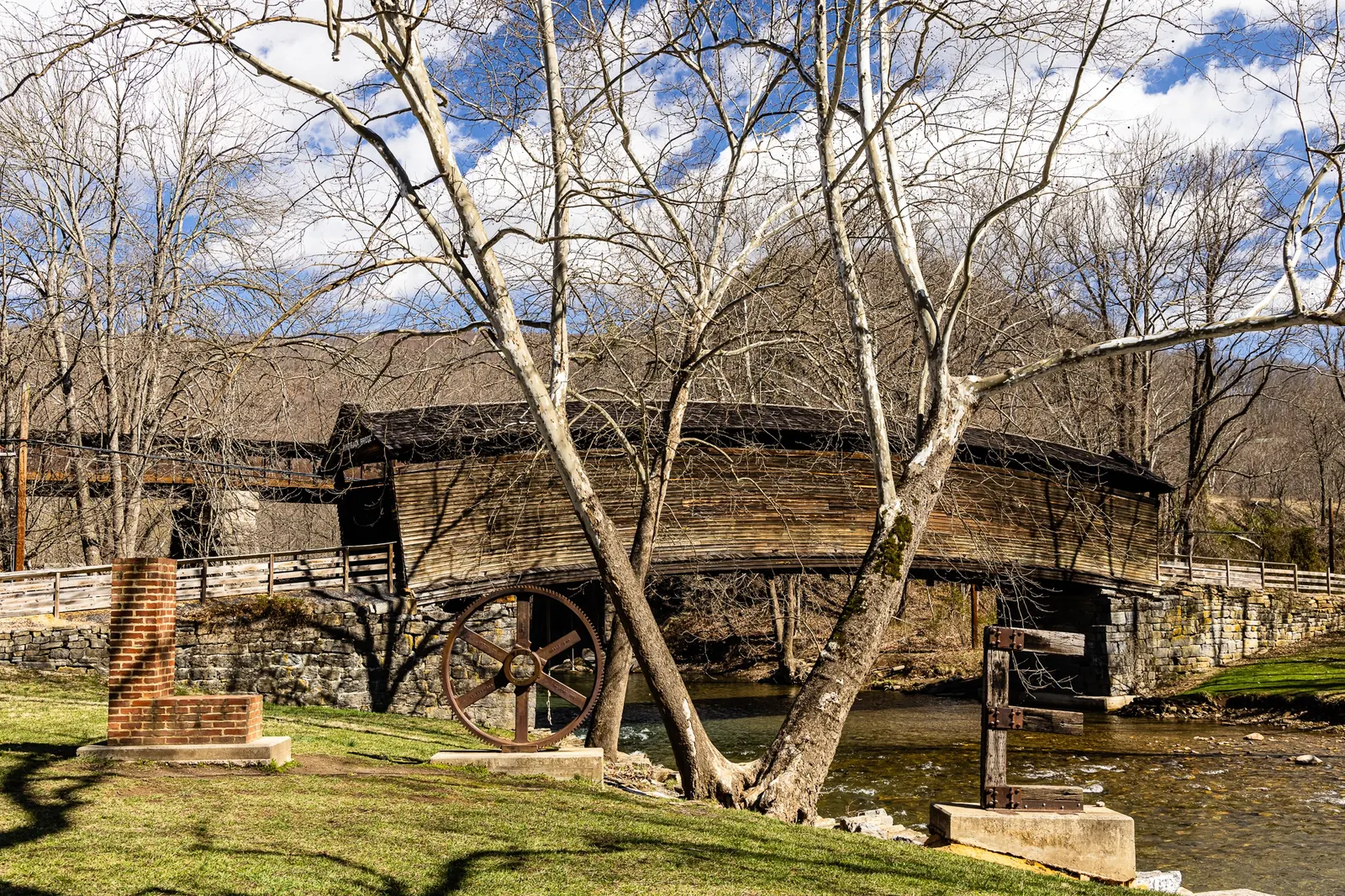
This is a desk-researched listing. A record update or map check does not confirm current swimming permission or water conditions.
Found an error? Send a correction with the location and a source. How we research listings.
Humpback Bridge is worth considering for a short architecture and landscape visit. The reviewed photos show the timber bridge above the creek, its surroundings and a LOVE sculpture in the wayside setting. They help preview a stop, not assess water depth.
The Virginia tourism listing describes the historic covered bridge and a picnic wayside on Midland Trail near Covington. Navigate to that named destination and confirm current designated parking. The tourism contact can help direct planning questions, but it is not an emergency number.
Current operator approval for swimming has not been established. Old advice about rope swings and entering the creek has been removed, including suggestions to wade when water is high. Plan a bridge-viewing visit unless the responsible operator confirms another authorized activity.
A picnic setting does not establish toilets, changing rooms or an accessible route into the creek. Ask about the parking surface and approach if anyone in your group needs a step-free visit. Keep children close near the bank and avoid slippery rocks.
The selected gallery provides both wider and closer bridge context without visitor-filled swimming scenes. Stay on authorized paths when looking for your own angle; a camera position in an older image is not a route recommendation. Leave time for a relaxed picnic if conditions and current site arrangements allow it.
Use the Humpback Bridge wayside destination on Midland Trail near Covington and confirm current designated parking. Old rope-swing and water-entry instructions have been removed. The retained coordinate is not a verified swimming entrance.
The Virginia tourism listing supports a historic bridge and picnic visit, not a current swimming designation or universally accessible creek route.
Confirm the entrance, parking arrangements, and legal access with the land manager. A map pin does not establish a public right of access. Follow posted routes and never block gates or driveways.
Confirm current rules with the site operator before any water activity. Tourism descriptions and photographs of the creek do not establish swimming approval. Public park access does not necessarily include permission to swim. Respect private property and posted restrictions.
Water conditions can change quickly. This listing does not provide a current safety or water-quality assessment. Check official alerts and avoid entering water when conditions or permission are uncertain.
Nearby places from saved public map data, not necessarily facilities at the swimming spot. Confirm access, hours, fees, and amenities with the operator before you drive.
Map data retrieved 2026-06-15
Parking lot
100 E Virginia St, Covington, VA 24426
Park
9211 Rumsey Rd, Covington, VA 24426
Campground
3508 Douthat Rd, Clifton Forge, VA 24422
Campground
Clifton Forge, VA 24422
Campground
Coles Mountain Rd, Hot Springs, VA 24445
Public bathroom
100 Jones Point Dr, Alexandria, VA 22314
Park
333 W Locust St, Covington, VA 24426
Tourist information center
100 Welcome Center Dr, Covington, VA 24426
A current swimming designation has not been verified. The tourism source supports a historic bridge and picnic visit.
No. Rope-swing and bridge-jumping instructions have been removed.
That has not been established. Ask the operator about the parking-to-bridge route and specific mobility needs.
No. Current availability was not verified; plan accordingly.
Humpback Bridge is a historical landmark dating back to 1857, offering insight into early American engineering and local culture.
Three reviewed photos show two covered-bridge views and a LOVE sculpture beside the bridge. A visitor-filled water scene was withheld.
Follow Leave No Trace principles to protect the creek and surrounding ecosystem. Avoid disturbing wildlife and pack out all trash.
Browse every listed natural swimming spot in Virginia.
Compare nearby options around Lexington before you choose a route.
Find similar creeks destinations across the directory.
See under-the-radar places and local favorites in the same state.
Compare easier-access destinations and safer planning options.
Use this safety guide before entering any natural water.
Safety & Access Notice
This information is for general planning only and may be incomplete, outdated, or inaccurate. Access rules, closures, water levels, currents, hazards, and legal restrictions can change at any time. Always verify current rules with the land manager or official source before visiting.
You are responsible for your own safety and for following all posted signs, laws, and local regulations. Read the full disclaimer.
No bridge-site camping permission verified; arrange overnight accommodation separately.
Loading weather data…
Safety & Access Notice
This information is for general planning only and may be incomplete, outdated, or inaccurate. Access rules, closures, water levels, currents, hazards, and legal restrictions can change at any time. Always verify current rules with the land manager or official source before visiting.
You are responsible for your own safety and for following all posted signs, laws, and local regulations. Read the full disclaimer.
Joshua Havens created Hidden Swimming Holes to make it easier for people to find — and safely visit — natural freshwater swimming destinations across the United States. He researches access conditions, water quality resources, and land management rules so you don't have to start from scratch. He holds a strong belief that good outdoor recreation information should be accurate, honest about its limitations, and freely available.
Discover other amazing natural swimming destinations across America