Parsons Mountain Lake Campground
Campground
0.2 mi
4.3 (59)
Abbeville, SC 29620
Public restroomRestroomRunning waterTent sites

Background: generated illustration, not a photograph of this location.
Plan Parsons Mountain lake recreation near Abbeville with vehicle-based day fees, camping details, water-supply warnings and current access checks.
Swimming restriction
Use only authorized water access. Do not treat site-open status as a water-quality clearance or permission to enter every shore location.
Official sources checked:
Location
A closer look
Photos show past visits, not current water levels or swimming conditions. Select a photo to view it larger.
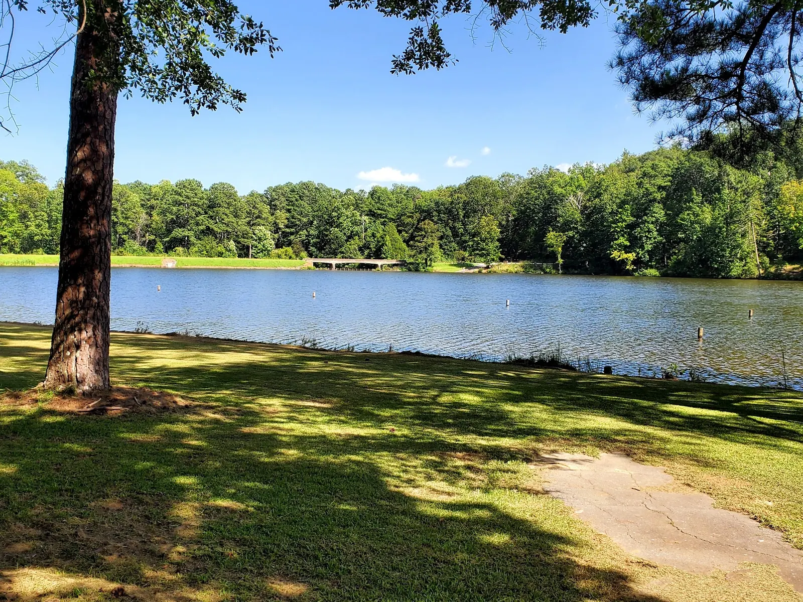
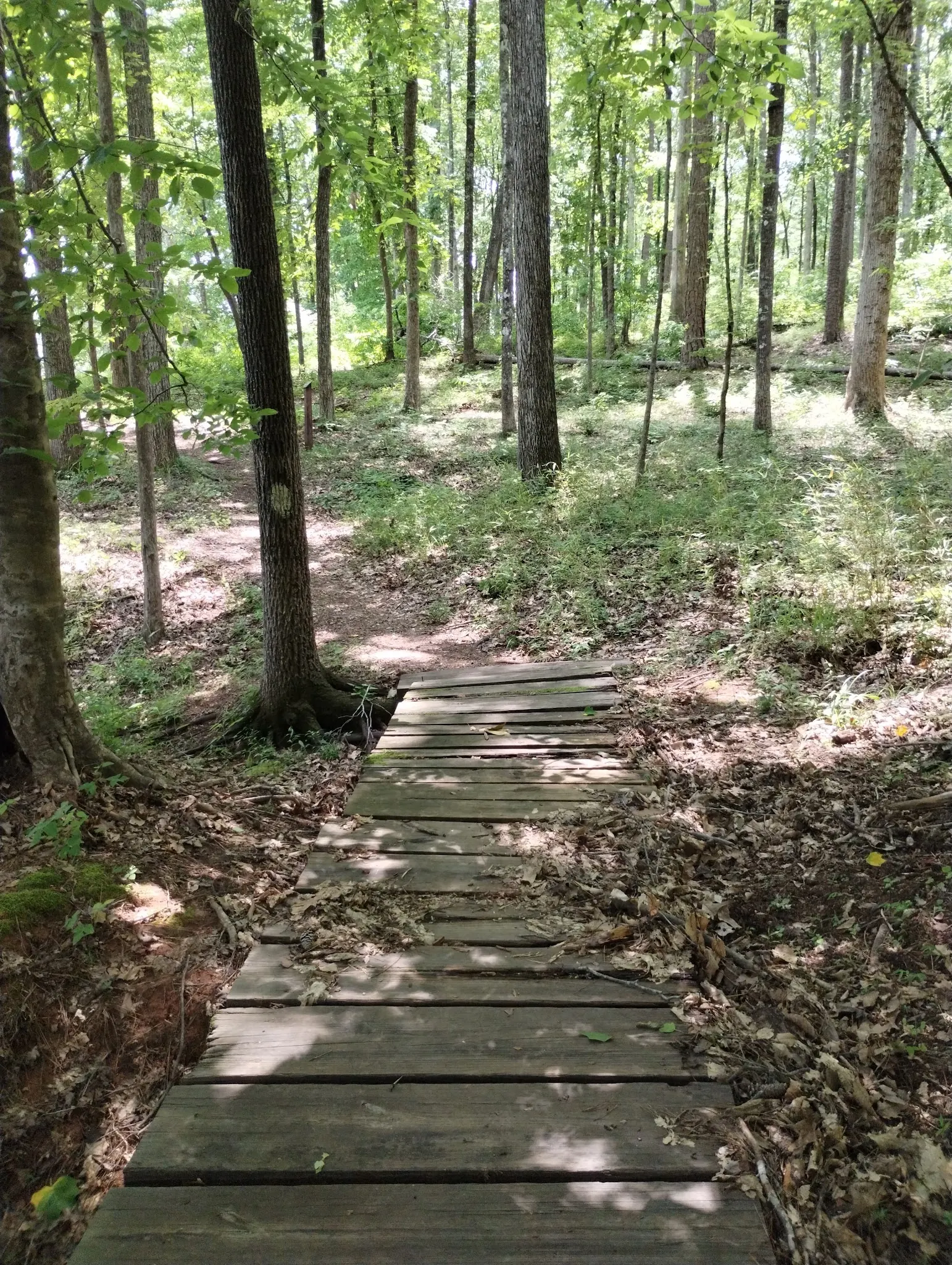
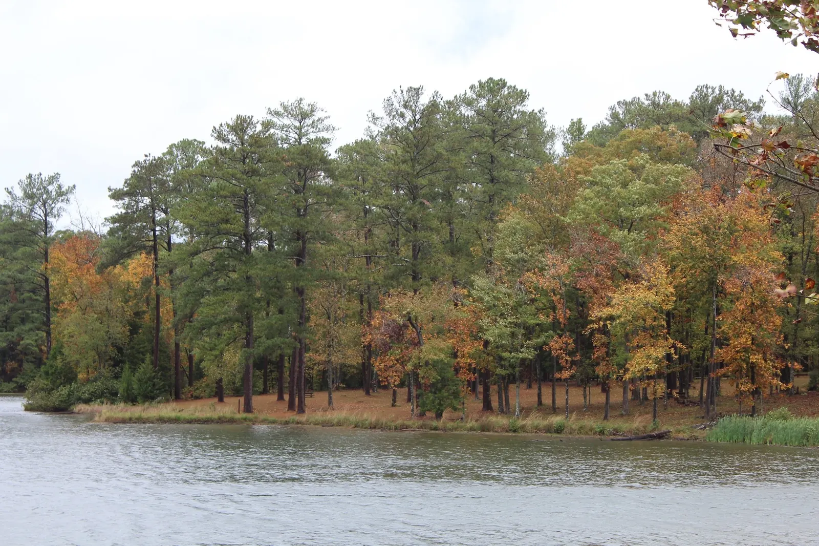
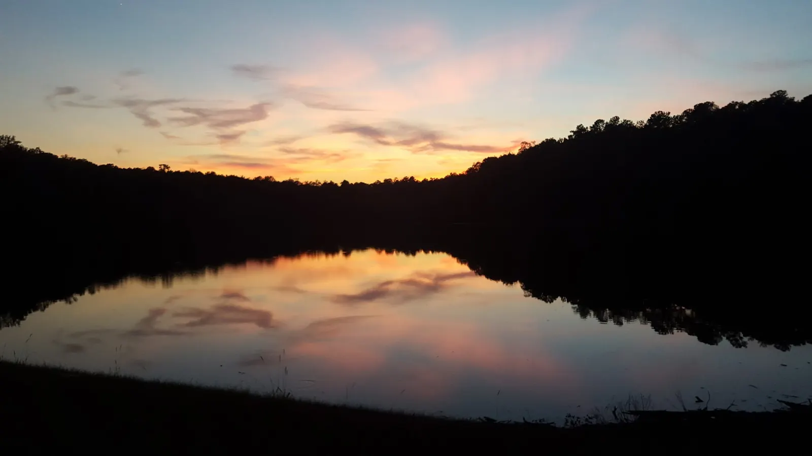
This is a desk-researched listing. A record update or map check does not confirm current swimming permission or water conditions.
Found an error? Send a correction with the location and a source. How we research listings.
Near Abbeville, this forest recreation area offers lake scenery without requiring a summit hike. Our former spring-fed-pool description and 'all facilities' promise were not reliable planning advice.
The Forest Service page lists the site open but warns about hurricane damage. Its current contact is 803-624-9471. Ask about the specific swimming approach rather than treating an open gate as a water-safety guarantee.
Published day use is $3 per vehicle, not per swimmer, and camping is $7 per campsite per night. The day-use pass description separates vehicle access from overnight fees. Confirm terms before paying.
The operator says potable water is unavailable and names toilets in its general-information section. Do not rely on the separate trail profile's drinking-water claim. Ask whether facilities needed for your visit are operating.
A wooded footbridge and lake views appear in our reviewed gallery. They are recreation-area context, not proof of a safe water entry. One withheld historical tower photo shows a no-trespassing barrier; it is not evidence of a lake-wide closure or permission to climb.
Follow the operator's Parsons Mountain Road directions and current signs. The district office and OHV staging area are not interchangeable with the lake entrance. The retained historical pin is not independently verified.
Operator route from Abbeville follows Hwy 28 toward its Hwy 72 junction, then continues 2.1 miles on Hwy 28 to Parsons Mountain Road (S 1-251). Follow that road 1.5 miles to the entrance on the right. Confirm signs and current road conditions. Do not use the district office as the lake entrance; retained pin is unverified.
Operator lists the site open but warns of remaining hurricane-damage hazards. Check notices and ask the district about today's swimming access.
Confirm the entrance, parking arrangements, and legal access with the land manager. A map pin does not establish a public right of access. Follow posted routes and never block gates or driveways.
Use only authorized water access. Do not treat site-open status as a water-quality clearance or permission to enter every shore location. Public park access does not necessarily include permission to swim. Respect private property and posted restrictions.
Water conditions can change quickly. This listing does not provide a current safety or water-quality assessment. Check official alerts and avoid entering water when conditions or permission are uncertain.
Bring sturdy water shoes to protect your feet on rocks and slippery surfaces. A waterproof dry bag keeps your phone, keys, and valuables safe. Pack a quick-dry towel, sun protection, and drinking water - never drink from the natural water source.
Nearby places from saved public map data, not necessarily facilities at the swimming spot. Confirm access, hours, fees, and amenities with the operator before you drive.
Map data retrieved 2026-06-15
Campground
Abbeville, SC 29620
Off roading area
Tower Rd, Abbeville, SC 29620
Park
62 Pete Smith Complex Rd, Abbeville, SC 29620
Paving contractor
706 Branch St, Abbeville, SC 29620
Park
404 N Main St, Abbeville, SC 29620
Campground
444 Beulah Church Rd, Abbeville, SC 29620
National forest
20 Work Center Rd, Whitmire, SC 29178
370,000-acre forest with hiking, mountain biking, white-water rafting on the Chattooga River & more.
Checking nearby USGS water conditions…
No. The published $3 fee is per vehicle. Confirm current terms before travel.
Yes. The current operator page says potable water is unavailable, despite a conflicting trail-profile claim.
No. Overnight stays require separate arrangements and charges.
No. Ask the district about the designated area and current conditions; remaining hurricane hazards are noted.
No. A historical photo shows a no-trespassing barrier. Respect all posted restrictions.
A managed forest recreation lake, not an independently verified natural spring-fed pool.
Lake shore, wooded footbridge, autumn trees and sunset in the saved campground collection. Exact camera positions and swimming entrances are not independently located.
Respect barriers, damaged structures and posted restrictions. No tower-climbing recommendation is made from historical photos.
Browse every listed natural swimming spot in South Carolina.
Find similar man-made lake recreation area destinations across the directory.
See under-the-radar places and local favorites in the same state.
Compare easier-access destinations and safer planning options.
Use this safety guide before entering any natural water.
Safety & Access Notice
This information is for general planning only and may be incomplete, outdated, or inaccurate. Access rules, closures, water levels, currents, hazards, and legal restrictions can change at any time. Always verify current rules with the land manager or official source before visiting.
You are responsible for your own safety and for following all posted signs, laws, and local regulations. Read the full disclaimer.
First-come campsites with a published 14-day stay limit. A day-use pass does not include camping; confirm available sites separately.
Loading weather data…
Safety & Access Notice
This information is for general planning only and may be incomplete, outdated, or inaccurate. Access rules, closures, water levels, currents, hazards, and legal restrictions can change at any time. Always verify current rules with the land manager or official source before visiting.
You are responsible for your own safety and for following all posted signs, laws, and local regulations. Read the full disclaimer.
Joshua Havens created Hidden Swimming Holes to make it easier for people to find — and safely visit — natural freshwater swimming destinations across the United States. He researches access conditions, water quality resources, and land management rules so you don't have to start from scratch. He holds a strong belief that good outdoor recreation information should be accurate, honest about its limitations, and freely available.
Discover other amazing natural swimming destinations across America