New Market Safety Area South
Parking lot
4.5 (2)
I-81, Timberville, VA 22853
Restroom

Background: generated illustration, not a photograph of this location.
Plan Mountain Run at Fridley Gap near Harrisonburg with five FAQs and five historical photos. Distinguish the short creek walk from the demanding mountain loop.
Swimming restriction
Harrisonburg Tourism lists swimming at Fridley Gap. This is not a current water-quality report or a guarantee of suitable conditions.
Location
A closer look
Photos show past visits, not current water levels or swimming conditions. Select a photo to view it larger.
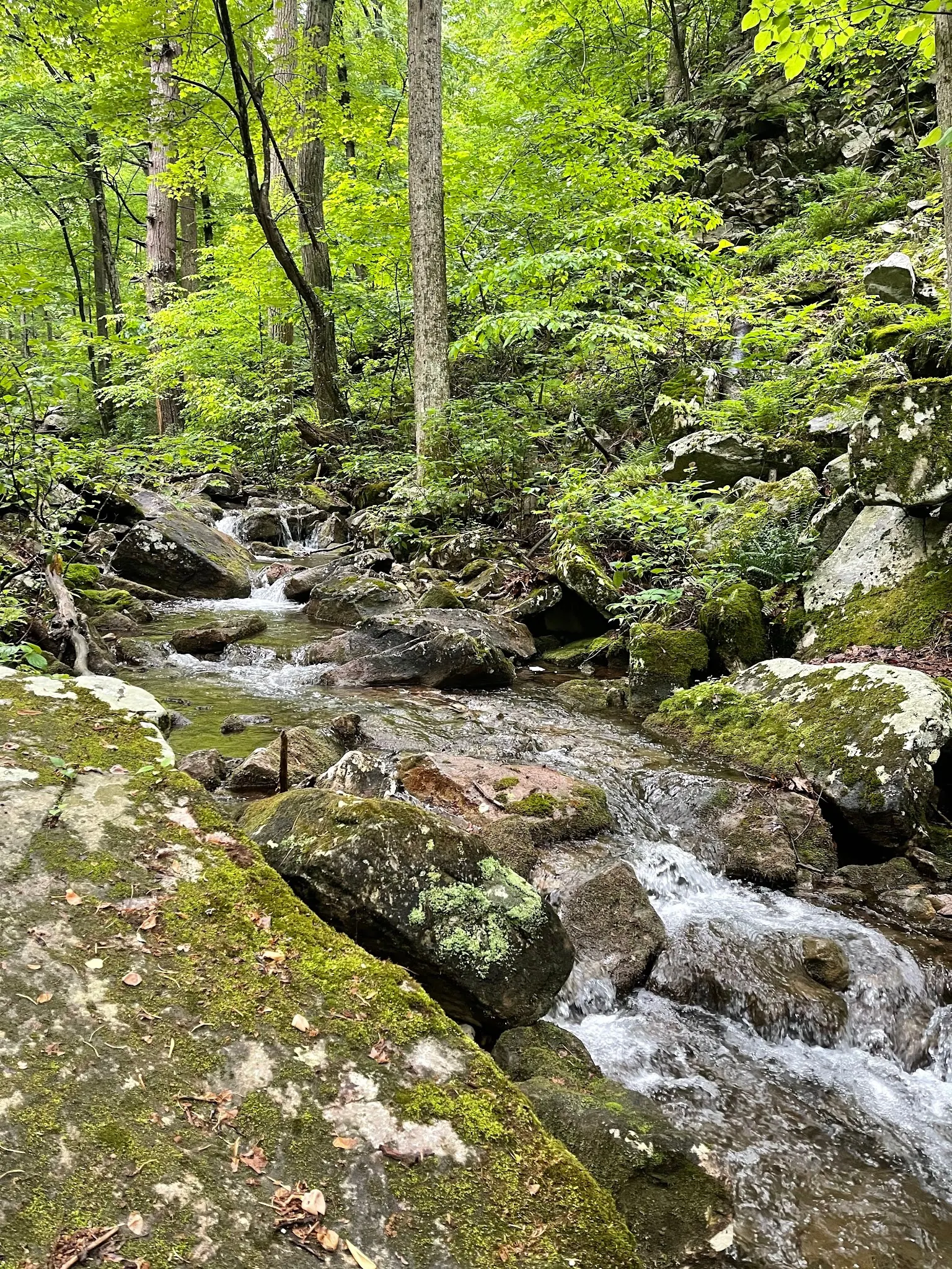
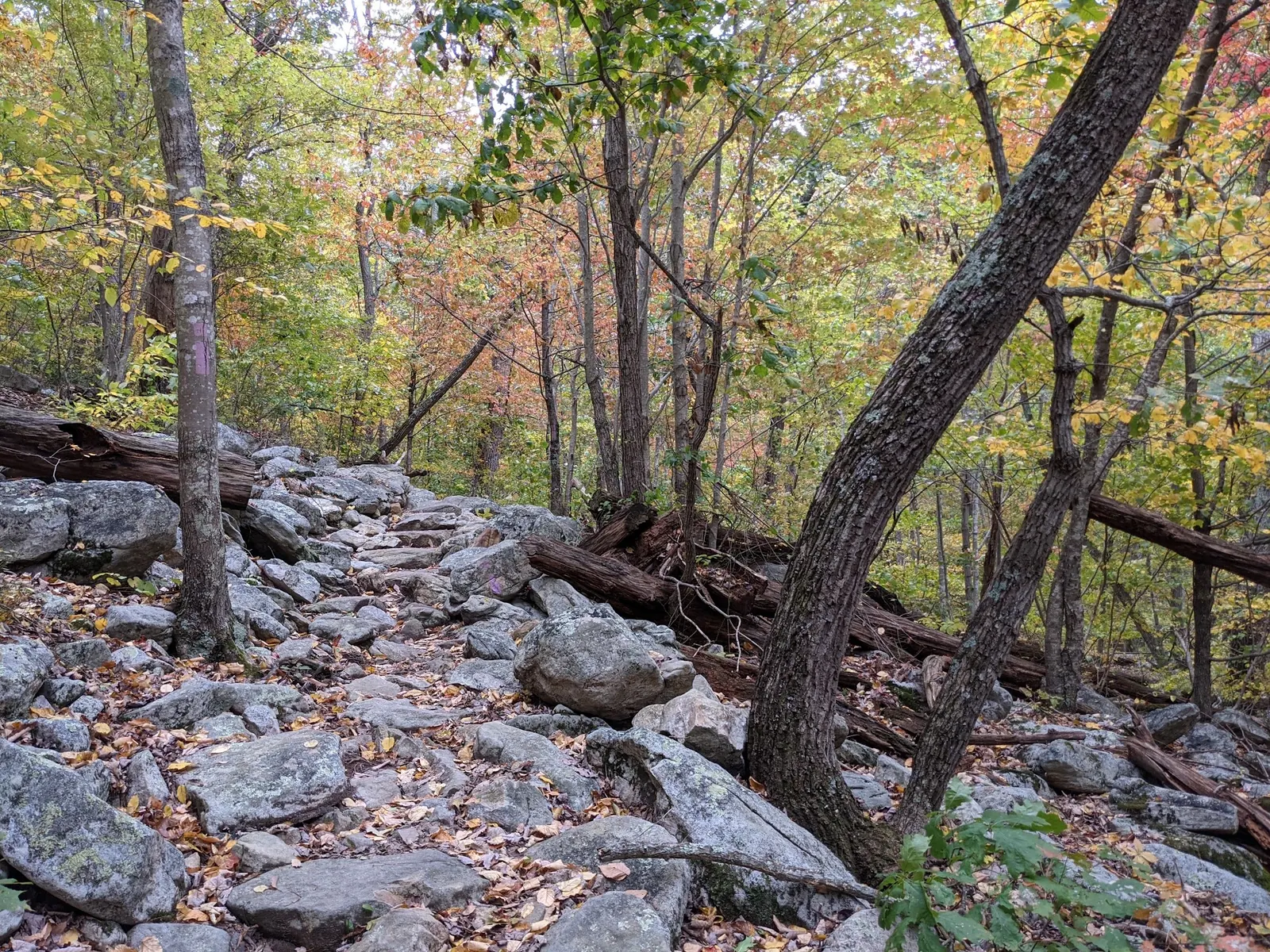
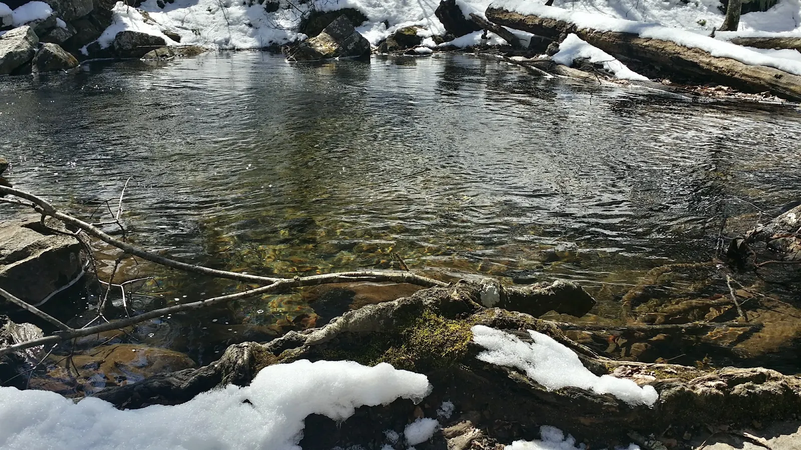
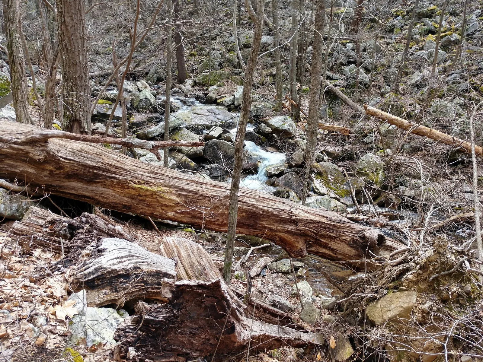
This is a desk-researched listing. A record update or map check does not confirm current swimming permission or water conditions.
Found an error? Send a correction with the location and a source. How we research listings.
This listing concerns the creek and waterfall stop on Massanutten Mountain described by Harrisonburg Tourism, not a similarly named lake destination. Check Fridley Gap and Airey Lane when planning your arrival.
The tourism page, reviewed October 9, 2026, describes a roughly one-mile out-and-back and a separate challenging six-mile mountain loop. It identifies purple trail blazes and a right turn at the early junction. Keep the waterfall outing separate from an extended ridge hike; a short distance is not an accessible-route certification.
Tourism lists no trail services or supplied food and water, with limited or absent phone service. Bring drinking water and save directions before departure. Its mention of an informal camping spot is not independently verified overnight permission. Confirm camping, fees and pet restrictions with the land manager.
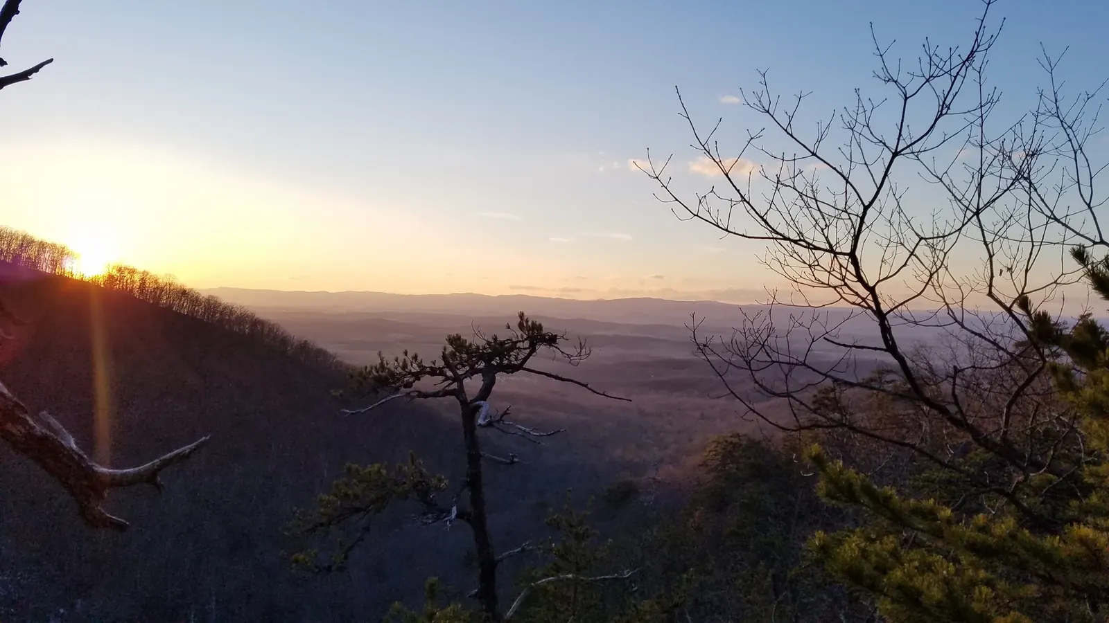
Tourism includes swimming, but this is not a current water-quality assessment. Do not jump or dive. Five historical images show creek, cascades, trail, fallen logs and a ridge sunset. The ridge scene is not the short waterfall approach; photographs cannot establish current depth, flow or access. Our coordinate remains withheld because a precise entrance has not been verified.
Use the Fridley Gap trailhead at the end of Airey Lane, as described by Harrisonburg Tourism. Follow the purple-blazed trail east, keeping right at the junction about 0.2 miles from the parking area. The short waterfall walk is not the full mountain loop. Check current trail notices and follow posted signs rather than relying on older road-turn instructions.
Tourism identifies the Airey Lane trailhead; phone service may be limited or absent. Save directions before departure and check current signs.
Confirm the entrance, parking arrangements, and legal access with the land manager. A map pin does not establish a public right of access. Follow posted routes and never block gates or driveways.
Harrisonburg Tourism lists swimming at Fridley Gap. This is not a current water-quality report or a guarantee of suitable conditions. Public park access does not necessarily include permission to swim. Respect private property and posted restrictions.
Water conditions can change quickly. This listing does not provide a current safety or water-quality assessment. Check official alerts and avoid entering water when conditions or permission are uncertain.
Bring sturdy water shoes to protect your feet on rocks and slippery surfaces. A waterproof dry bag keeps your phone, keys, and valuables safe. Pack a quick-dry towel, sun protection, and drinking water - never drink from the natural water source.
Nearby places from saved public map data, not necessarily facilities at the swimming spot. Confirm access, hours, fees, and amenities with the operator before you drive.
Map data retrieved 2026-06-15
Parking lot
I-81, Timberville, VA 22853
Parking lot
7625 US-211, Luray, VA 22835
Parking lot
I-81, Timberville, VA 22853
Hiking area
New Market, VA 22844
Hiking area
3221 E Lee Hwy, New Market, VA 22844
Hiking area
Virginia 22650
Campground
1800 Endless Caverns Rd, New Market, VA 22844
A 6-mile natural tunnel system accessible through seasonal guided tours, with an on-site campground.
Campground
168 Industrial Park Rd, Mt Jackson, VA 22842
No. This listing is Mountain Run at Fridley Gap on Massanutten Mountain near Harrisonburg.
No. Tourism describes about one mile out and back versus a challenging six-mile loop. Choose the intended route before departure.
No. Tourism lists limited or absent reception and no supplied water. Bring water and save directions beforehand.
No. An informal campsite mention does not establish current overnight permission. Confirm rules with the land manager.
No. Photos are historical context and the precise coordinate remains withheld. Ridge imagery is not the short waterfall approach.
Five historical views include creek, cascades, trail, fallen logs and a distant ridge sunset. The ridge photo does not depict the short waterfall approach; none establish current access or water conditions.
Stay on established routes and remove your litter.
Browse every listed natural swimming spot in Virginia.
Compare nearby options around Harrisonburg before you choose a route.
Find similar creeks destinations across the directory.
See under-the-radar places and local favorites in the same state.
Compare easier-access destinations and safer planning options.
Explore waterfall-focused swimming destinations in Virginia.
Safety & Access Notice
This information is for general planning only and may be incomplete, outdated, or inaccurate. Access rules, closures, water levels, currents, hazards, and legal restrictions can change at any time. Always verify current rules with the land manager or official source before visiting.
You are responsible for your own safety and for following all posted signs, laws, and local regulations. Read the full disclaimer.
Confirm current camping rules with the land manager before planning an overnight stay.
Loading weather data…
Safety & Access Notice
This information is for general planning only and may be incomplete, outdated, or inaccurate. Access rules, closures, water levels, currents, hazards, and legal restrictions can change at any time. Always verify current rules with the land manager or official source before visiting.
You are responsible for your own safety and for following all posted signs, laws, and local regulations. Read the full disclaimer.
Joshua Havens created Hidden Swimming Holes to make it easier for people to find — and safely visit — natural freshwater swimming destinations across the United States. He researches access conditions, water quality resources, and land management rules so you don't have to start from scratch. He holds a strong belief that good outdoor recreation information should be accurate, honest about its limitations, and freely available.
Discover other amazing natural swimming destinations across America