
McCloud River Falls Area
Background: generated illustration, not a photograph of this location.
Find the McCloud River Falls area with Lower Falls day-use directions, a campground-based trail option and road access to Middle and Upper Falls overlooks.
Status summarizes our reviewed record, not today's opening or safety. Check current rules, swimming boundaries and notices before visiting.
Location
Map & Directions
A closer look
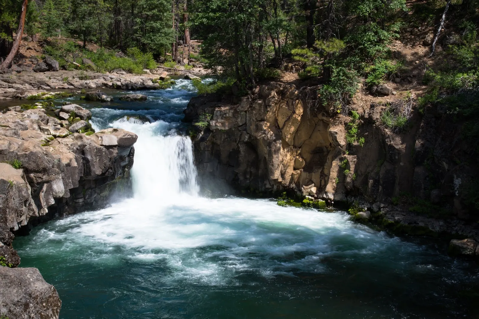
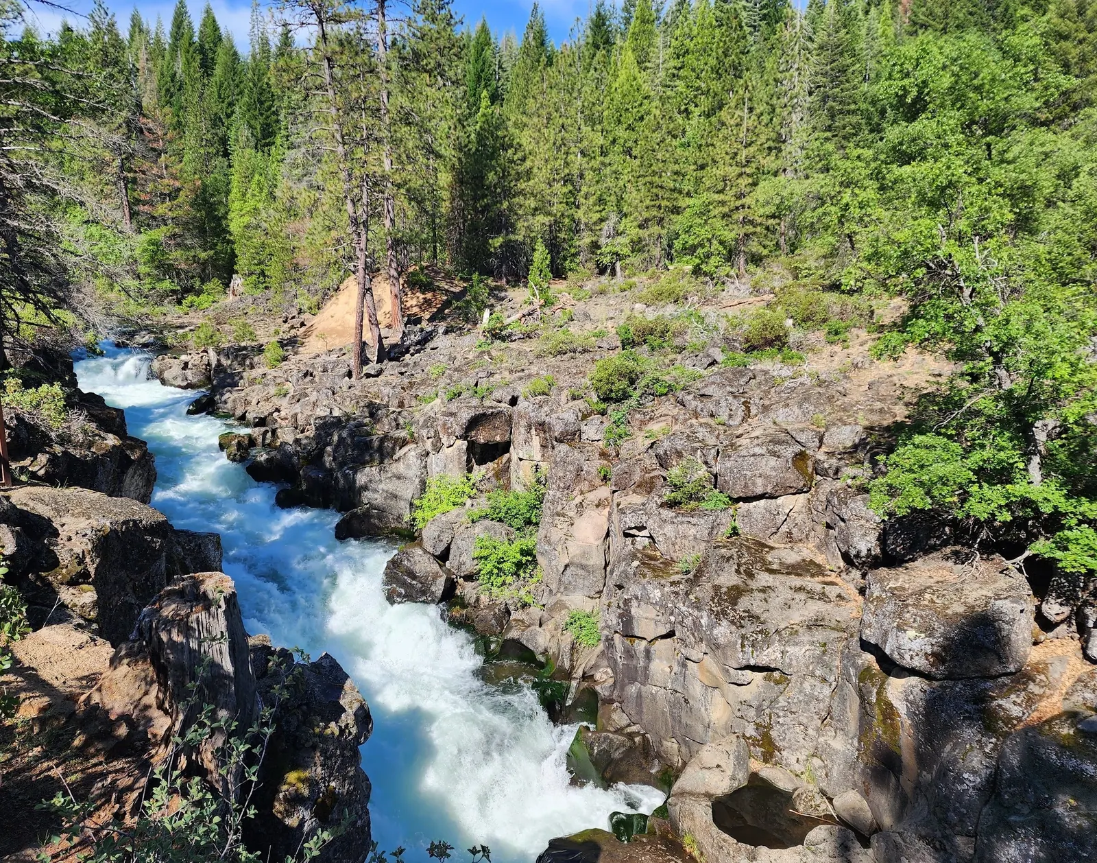
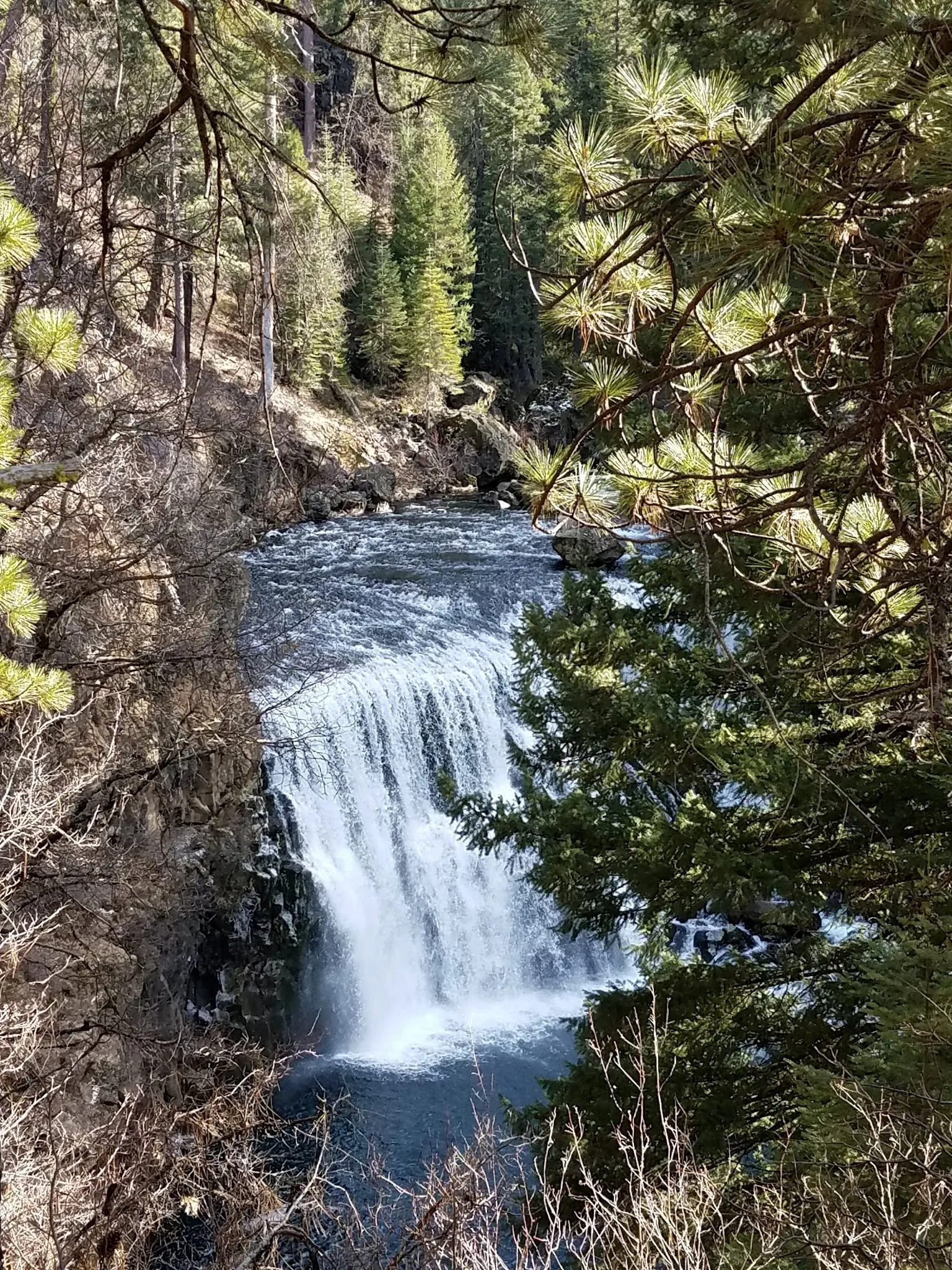
Photos of McCloud River Falls Area
Photos show past visits, not current water levels or swimming conditions. Select a photo to view it larger.
Sources & checks
This is a desk-researched listing. A record update or map check does not confirm current swimming permission or water conditions.
- Swimming rules
- Official sources checked . Swimming permission remains unconfirmed.
- Access location not verified
- The recorded location has no completed source check. Confirm the entrance, legal access, and parking before travelling.
- Record updated
- · This is a data update, not a field visit.
Found an error? Send a correction with the location and a source. How we research listings.
Pick a trailhead for the McCloud River Falls corridor
This listing covers the falls area rather than a verified individual water-entry point. The official Fowlers campground information distinguishes Lower Falls day-use parking from the camping approach and describes both trail and road options.
Use the day-use fork for Lower Falls
Head east from McCloud on Highway 89 about five miles to the Fowlers/Lower Falls sign. Turn right, drive about one mile and cross River Loop Road. The right fork leads to Lower Falls day-use parking and the river trail; the left leads into the campground. Do not navigate to the retained historical map pin as though it were a verified entrance.
Match mileage to your actual starting point
The official page describes approximately three miles round trip to see all three falls from the camping area. That is not a universal distance from every parking location. River Loop Road also accesses Middle and Upper Falls parking and overlooks if you prefer separate stops.
Keep river entry separate from viewing access
A signed overlook or paved parking area does not establish safe access to a waterfall pool. Stay clear of drops and fast-moving water. Carry supplies for the chosen walk, confirm current road access and keep food secured around wildlife.
Getting There
From McCloud travel east on Highway 89 about five miles to the Fowlers/Lower Falls sign. Turn right and drive about one mile across River Loop Road. The official directions put Fowlers camping to the left and Lower Falls day-use parking to the right. Use signed parking rather than the retained historical map pin.
Quick Navigation
Access Notes
The official campground page describes an approximately three-mile round-trip visit to all three falls from the camping area. McCloud River Loop Road also reaches Middle and Upper Falls parking and overlooks. Establish your actual starting point before planning distance; road access is not a promise of safe access to each pool.
Plan Your Visit
Parking & Access
Confirm the entrance, parking arrangements, and legal access with the land manager. A map pin does not establish a public right of access. Follow posted routes and never block gates or driveways.
Regulations & Fees
Current swimming permission has not been independently confirmed for this listing. Check official rules, fees, hours, and closures before visiting. Public park access does not necessarily include permission to swim. Respect private property and posted restrictions.
Seasonality & Flow
Water conditions can change quickly. This listing does not provide a current safety or water-quality assessment. Check official alerts and avoid entering water when conditions or permission are uncertain.
Frequently Asked Questions About McCloud River Falls Area
Which fork goes to Lower Falls parking?
After the approach across River Loop Road, the official directions put Lower Falls day-use parking to the right and Fowlers camping to the left.
How long is the three-falls hike?
The campground page describes roughly three miles round trip from the camping area. Check your actual trailhead; the distance should not be applied to every starting point.
Can I drive to other overlooks?
The official page describes paved McCloud River Loop Road access to Middle and Upper Falls parking and overlooks. Check current road conditions and signs before traveling.
Highlights
Unique Features
Location & Area Map
Safety Information
Important Safety Tips
- Do not jump from rocks, approach waterfall drops or enter fast-moving water
- Cold water, slippery banks and submerged obstacles are hazards
- Water clarity does not prove water quality or safe depth
- Supervise children and do not assume lifeguard coverage
Cultural & Historical Context
Historical Background
Historically significant to indigenous peoples who believed in the healing properties of the waters. Nearby McCloud offers insight into California’s logging history.
Photography Guide
Photo Opportunities
Photograph waterfalls from signed trails and overlooks without approaching cliff edges. Historical photographs are not evidence of current river conditions, permitted water entry or safe swimming.
Conservation & Ethics
Protect This Place
Use signed public access, pack out litter and keep food secured in bear country. Do not feed wildlife. Campground pets must be leashed. Check current fire restrictions and obtain firewood locally.
Explore More Nearby Swimming Guides
More California swimming holes
Browse every listed natural swimming spot in California.
Hidden gems in California
See under-the-radar places and local favorites in the same state.
Family-friendly spots in California
Compare easier-access destinations and safer planning options.
California waterfall swimming spots
Explore waterfall-focused swimming destinations in California.
Check water quality before swimming
Use this safety guide before entering any natural water.
You Might Also Like
At a Glance
Safety & Access Notice
This information is for general planning only and may be incomplete, outdated, or inaccurate. Access rules, closures, water levels, currents, hazards, and legal restrictions can change at any time. Always verify current rules with the land manager or official source before visiting.
You are responsible for your own safety and for following all posted signs, laws, and local regulations. Read the full disclaimer.
Camping Information
Fowlers campground offers tent and mid-sized RV sites. Large RVs and trailers are not recommended. Book the appropriate site and check seasonal availability, current charges and fire restrictions. The manager lists a 14-day stay limit.
Loading weather data…
Safety & Access Notice
This information is for general planning only and may be incomplete, outdated, or inaccurate. Access rules, closures, water levels, currents, hazards, and legal restrictions can change at any time. Always verify current rules with the land manager or official source before visiting.
- Do not swim where swimming is prohibited, unsafe, or not clearly allowed.
- Follow posted signs, local regulations, closures, and private-property boundaries.
- Assess conditions on site. Water flow, depth, temperature, and underwater hazards change quickly.
- Never jump or dive without personally confirming depth and underwater obstacles.
- Swim with a buddy and consider flotation for weak or non-swimmers.
- Pack out all trash; respect wildlife and fragile environments.
You are responsible for your own safety and for following all posted signs, laws, and local regulations. Read the full disclaimer.
Joshua Havens created Hidden Swimming Holes to make it easier for people to find — and safely visit — natural freshwater swimming destinations across the United States. He researches access conditions, water quality resources, and land management rules so you don't have to start from scratch. He holds a strong belief that good outdoor recreation information should be accurate, honest about its limitations, and freely available.
Explore More Swimming Holes
Discover other amazing natural swimming destinations across America