Anniston Army Depot Campground
Campground
2.8 mi
4.8 (11)
Eastaboga, AL 36260
Public restroomRestroomWi-Fi

Background: generated illustration, not a photograph of this location.
Explore Coldwater Creek's Oxford park setting. Review historical wading information, check current access and look for dated water-quality updates before a visit.
Swimming permission unconfirmed
Check posted access notices and obtain current local guidance before entering. A historical wading recommendation or an old sample result does not establish present permission or water quality.
Location
A closer look
Photos show past visits, not current water levels or swimming conditions. Select a photo to view it larger.
This is a desk-researched listing. A record update or map check does not confirm current swimming permission or water conditions.
Found an error? Send a correction with the location and a source. How we research listings.
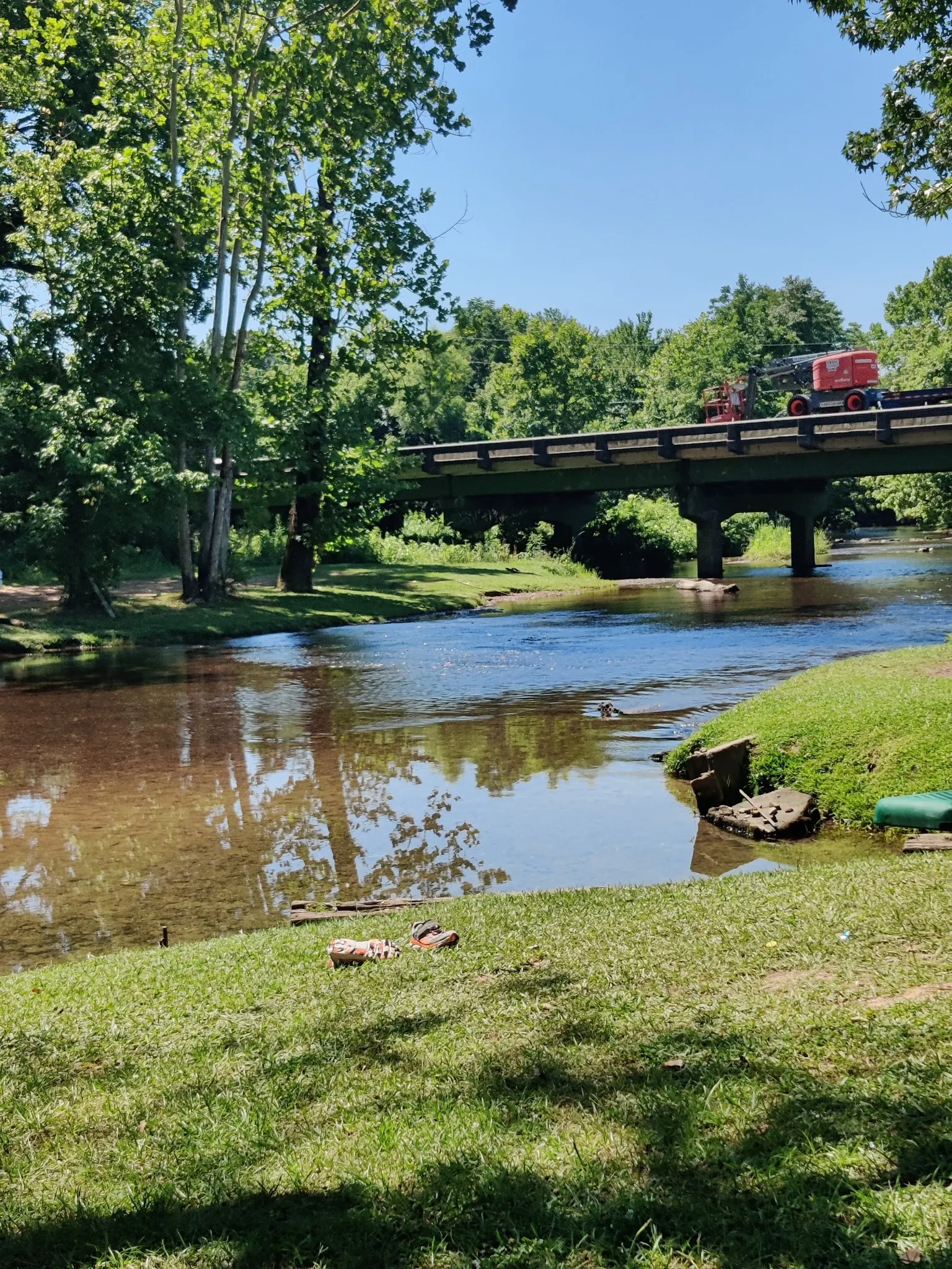
Coldwater Creek is not interchangeable with Oxford Lake. Coosa Riverkeeper's older visitor article describes shallow water at Coldwater Creek Memorial Park, making it a wading reference rather than evidence of a deep swimming hole. This listing has not established current permission for entering the creek.
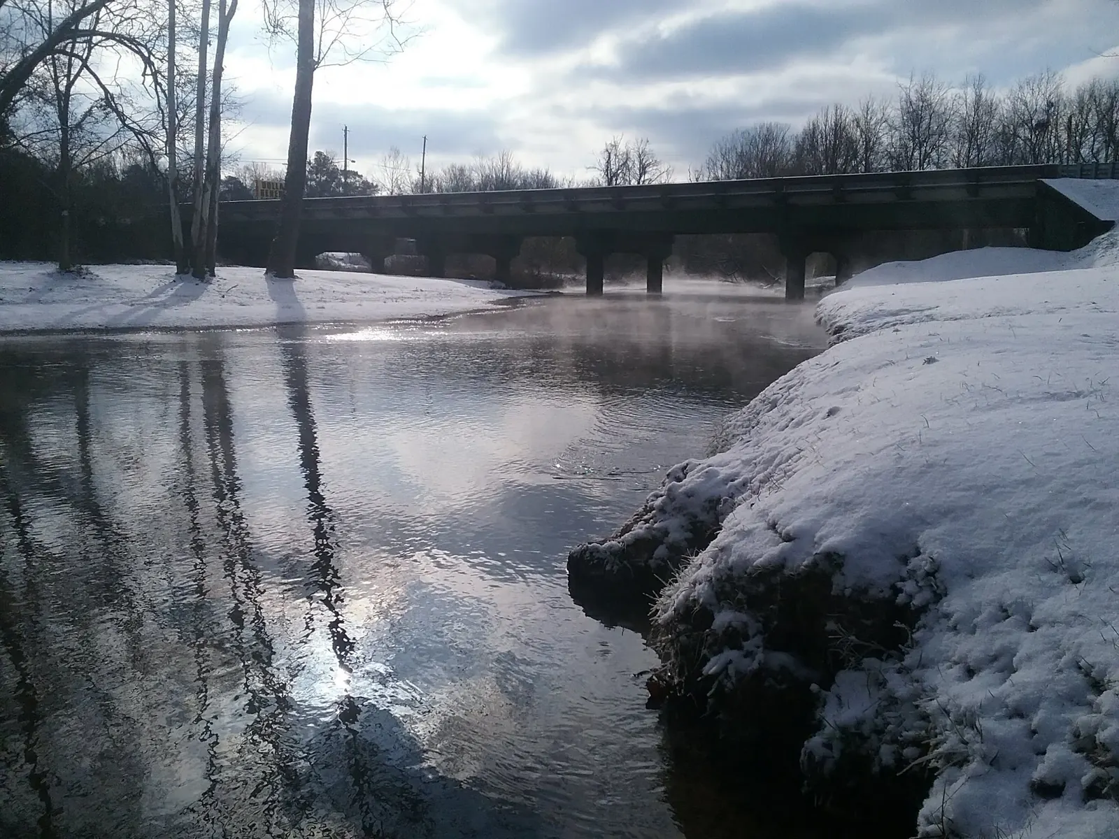
The bridge and grassy banks help explain the setting, but they do not verify parking rights or an open route. Use posted notices and current local guidance. Do not rely on the old highway-exit instructions or assume a roadside pull-off is public parking.
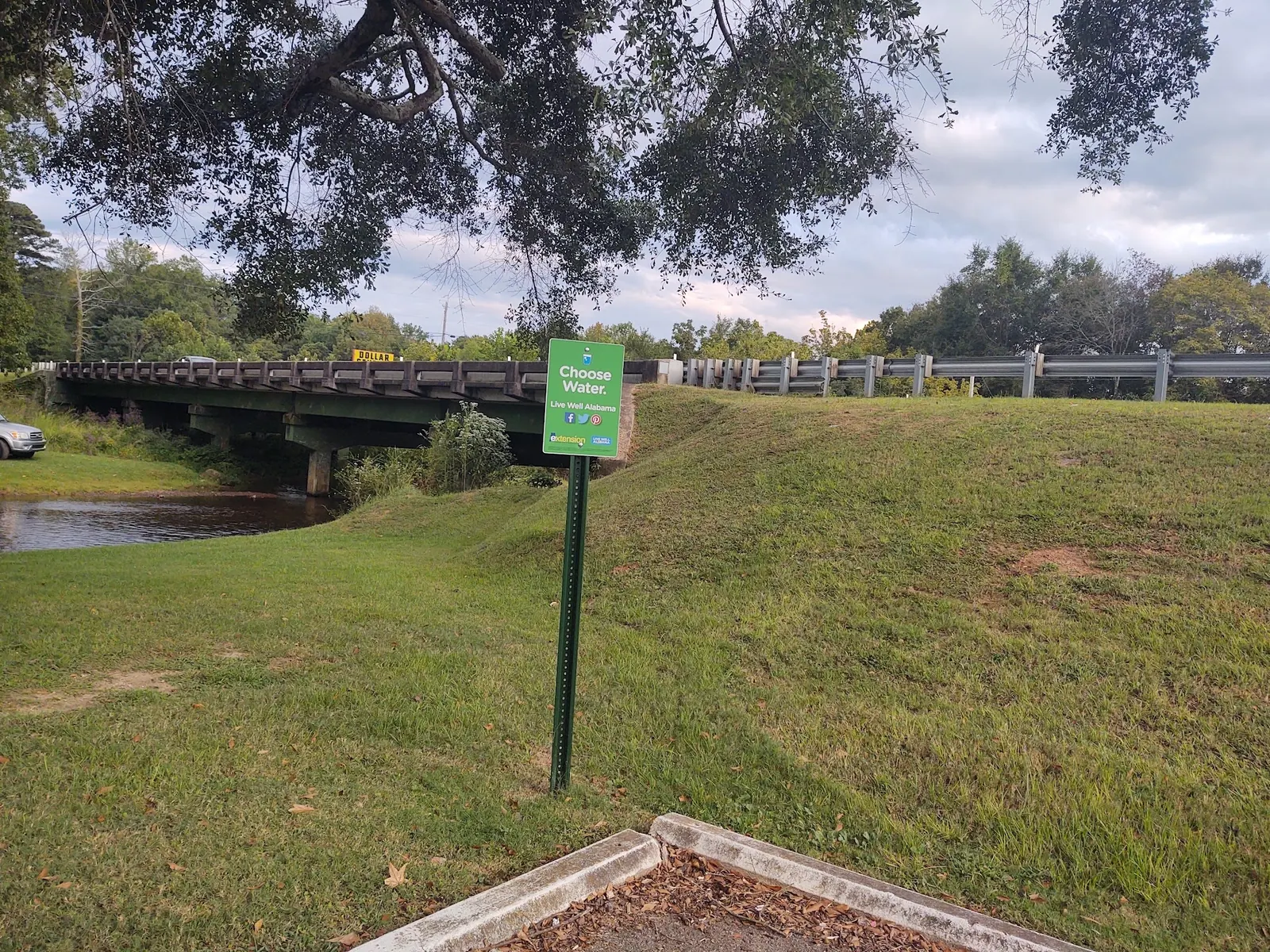
Start with the Riverkeeper monitoring program and check whether a result covers this exact location and a relevant date. No current sample result has been verified for this review. Neither clear-looking water nor the photographed drinking-water campaign sign provides that evidence.
Bring necessary supplies and a backup destination. Restrooms, opening hours and charges are not verified. Keep children supervised and remember that shallow water alone does not establish a suitable place to enter.
Identify Coldwater Creek near the highway bridge in the Oxford, Alabama area and confirm the lawful park entrance locally. This is not Oxford Lake or its relocated covered bridge. The retained map point is an unverified reference; historical Scott Drive and highway-exit instructions are not confirmed current directions.
Current opening hours, parking arrangements and water-entry permission remain unverified. Respect closures and private-property boundaries rather than treating a saved Maps record as access approval.
Confirm the entrance, parking arrangements, and legal access with the land manager. A map pin does not establish a public right of access. Follow posted routes and never block gates or driveways.
Check posted access notices and obtain current local guidance before entering. A historical wading recommendation or an old sample result does not establish present permission or water quality. Public park access does not necessarily include permission to swim. Respect private property and posted restrictions.
Water conditions can change quickly. This listing does not provide a current safety or water-quality assessment. Check official alerts and avoid entering water when conditions or permission are uncertain.
Nearby places from saved public map data, not necessarily facilities at the swimming spot. Confirm access, hours, fees, and amenities with the operator before you drive.
Map data retrieved 2026-06-15
Campground
Eastaboga, AL 36260
Hiking area
401-455 Monsanto Rd, Anniston, AL 36201
Parking lot
6 W 10th St, Anniston, AL 36201
Historical landmark
1031 Gurnee Ave, Anniston, AL 36201
This mural & its educational panels honor the 1961 activists who were attacked by segregationists.
Parking grounds
E 8th St, Anniston, AL 36207
Campground
20 Garrett Cir, Anniston, AL 36207
Public bathroom
4900 Bow St, Anniston, AL 36206
Hiking area
460 BG DH Stem Avenue, Anniston, AL 36205
No. This listing concerns the Coldwater Creek park setting near the highway bridge, not Oxford Lake or its covered-bridge attraction.
Current permission has not been verified. The older Riverkeeper guide describes shallow wading, not a present manager authorization.
No. Choose Water is a drinking-water campaign sign. Consult a dated result for the exact creek location instead.
The older article reports that temperature in its visit context. It does not establish a permanent temperature or current conditions.
The historical source names Coldwater Creek Memorial Park. No unsourced heritage narrative or connection to the Oxford Lake covered bridge is added.
Gallery images show bridge and bank context across seasons. The green Choose Water sign promotes drinking water; it is not a creek testing result or swimming approval.
Avoid damaging creek banks, remove litter and follow current local notices.
Browse every listed natural swimming spot in Alabama.
Compare nearby options around Birmingham before you choose a route.
Find similar creeks destinations across the directory.
See under-the-radar places and local favorites in the same state.
Compare easier-access destinations and safer planning options.
Use this safety guide before entering any natural water.
Safety & Access Notice
This information is for general planning only and may be incomplete, outdated, or inaccurate. Access rules, closures, water levels, currents, hazards, and legal restrictions can change at any time. Always verify current rules with the land manager or official source before visiting.
You are responsible for your own safety and for following all posted signs, laws, and local regulations. Read the full disclaimer.
No campsite or overnight permission verified for this creek park.
Loading weather data…
Safety & Access Notice
This information is for general planning only and may be incomplete, outdated, or inaccurate. Access rules, closures, water levels, currents, hazards, and legal restrictions can change at any time. Always verify current rules with the land manager or official source before visiting.
You are responsible for your own safety and for following all posted signs, laws, and local regulations. Read the full disclaimer.
Joshua Havens created Hidden Swimming Holes to make it easier for people to find — and safely visit — natural freshwater swimming destinations across the United States. He researches access conditions, water quality resources, and land management rules so you don't have to start from scratch. He holds a strong belief that good outdoor recreation information should be accurate, honest about its limitations, and freely available.
Discover other amazing natural swimming destinations across America