Discover Crystal River - Visitors Center
Visitor center
11.1 mi
4.7 (127)
915 N Suncoast Blvd, Crystal River, FL 34429
Restroom

Background: generated illustration, not a photograph of this location.
Compare Chassahowitzka's springs, plan your launch and rentals, check parking costs, and explore river photos without mistaking scenery for verified swimming access.
Swimming permission unconfirmed
Confirm the intended spring's current permitted activities and restrictions before entering water. Campground access does not authorize every spring or bank. Do not enter underwater passages, jump or dive, or approach wildlife.
Official sources checked:
Status summarizes our reviewed record, not today's opening or safety. Check current rules, swimming boundaries and notices before visiting.
Location
A closer look
Photos show past visits, not current water levels or swimming conditions. Select a photo to view it larger.
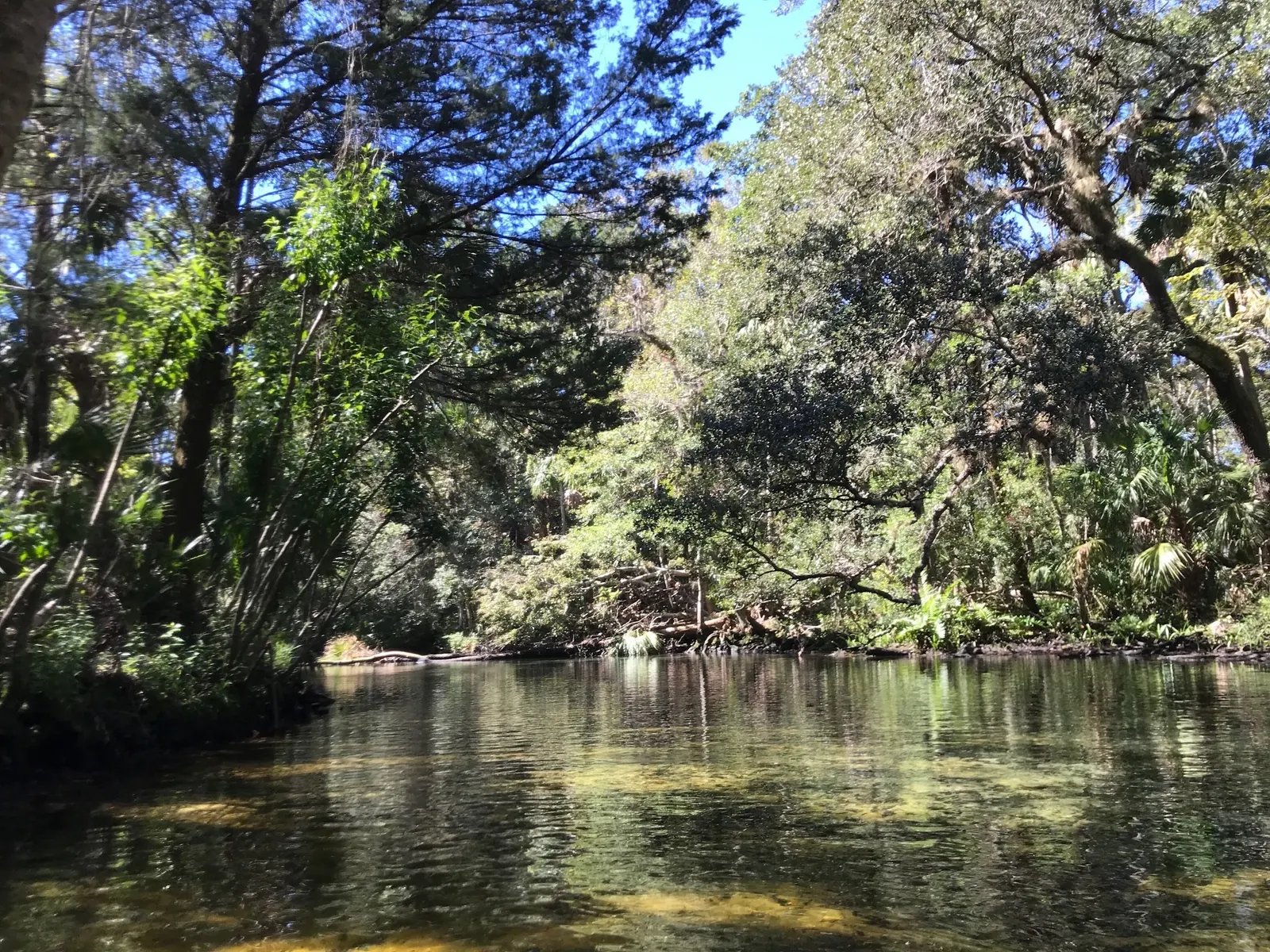
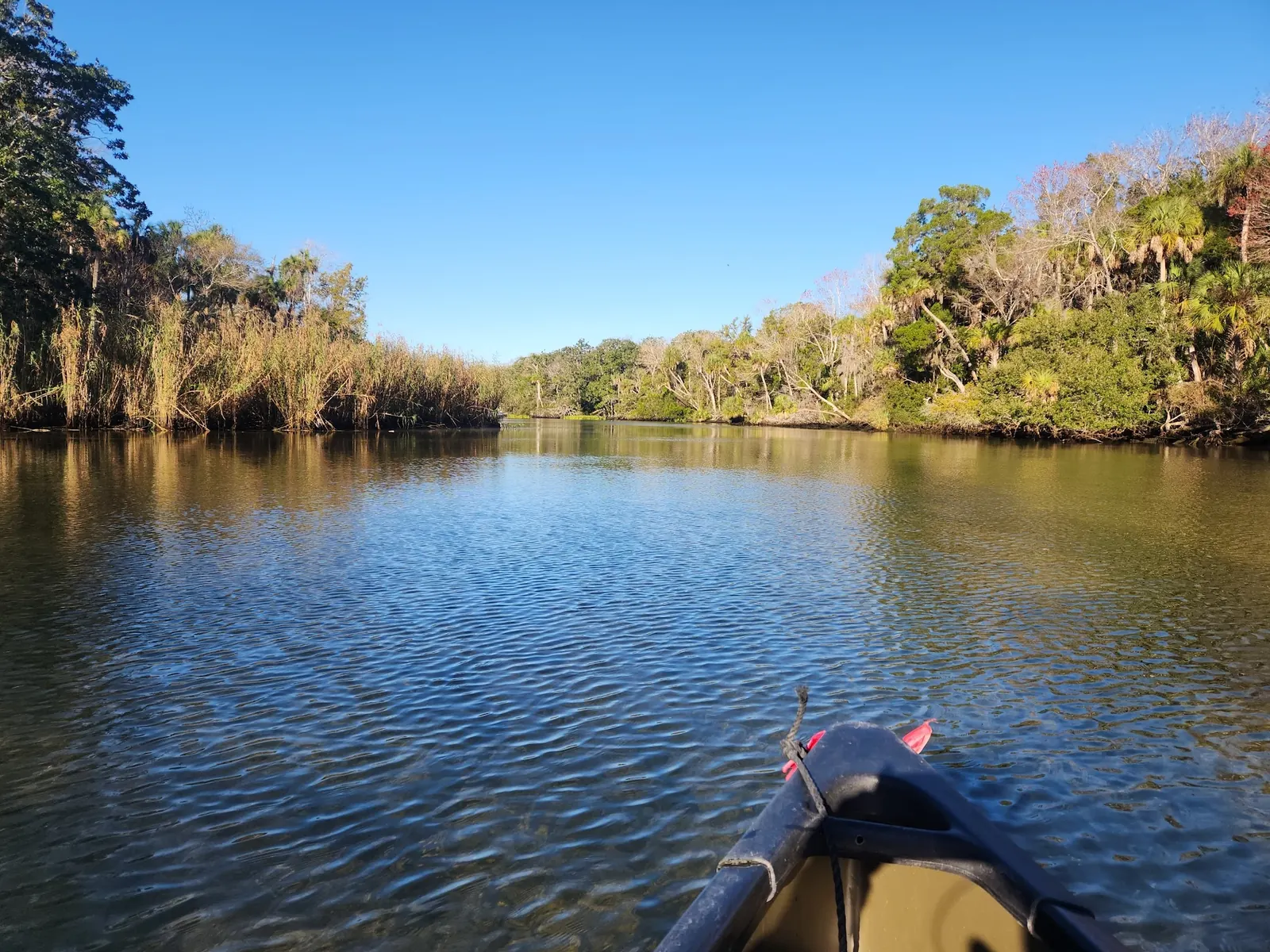
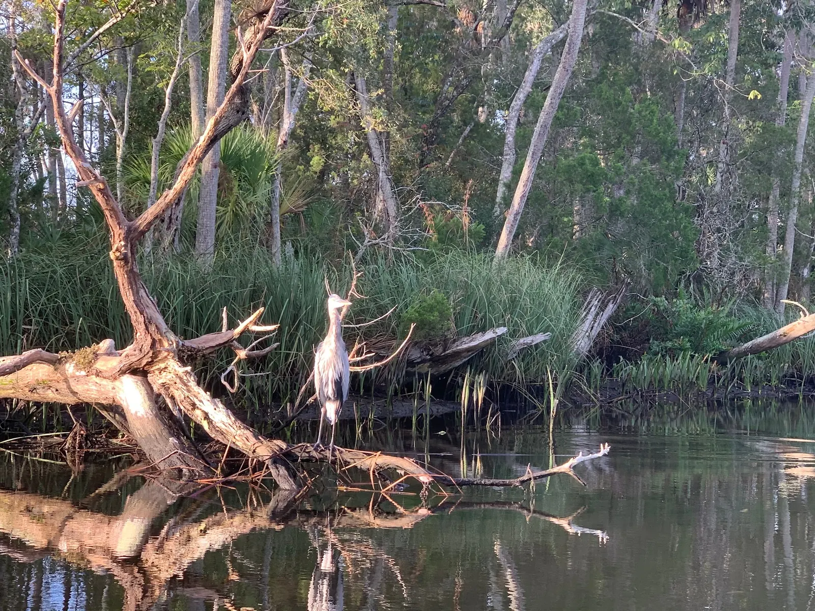
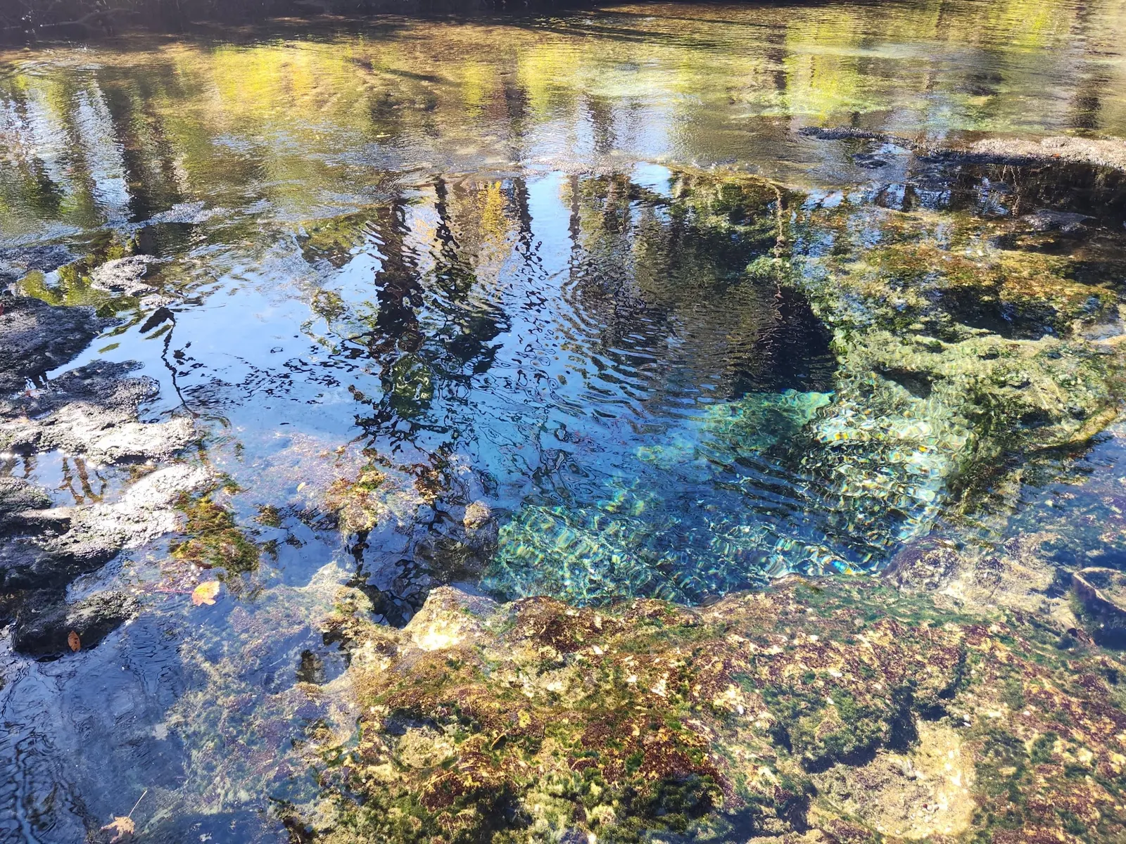
This is a desk-researched listing. A record update or map check does not confirm current swimming permission or water conditions.
Found an error? Send a correction with the location and a source. How we research listings.
Chassahowitzka is a network of spring runs rather than one uniform swimming destination. The water district's overview distinguishes the main spring, Seven Sisters and Baird Spring, also known as the Crack. Its descriptions establish geography, not today's swimming permission or conditions.
The district recreation page identifies the campground access at 8600 W Miss Maggie Drive. The operator's amenities page lists $5 vehicle parking or $7 with a trailer, restrooms and launching facilities. Parking closes when full. Confirm availability rather than relying on overflow parking.
The rental page lists daily single kayaks at $35, tandems at $45 and paddleboards at $50, plus tax. Call 352-382-2200 for current booking details and route advice. Do not assume a launch booking makes every spring accessible.
Current swimming authorization at the historical spring destinations was not established in this review. Confirm the exact destination and activity before entering water. Do not use old depth descriptions as safety assurances or swim through submerged passages. Tides, rainfall and local restrictions can change an outing.
Campground rules apply to a separately booked stay. They do not authorize camping elsewhere: refuge rules prohibit camping and disturbing wildlife within the refuge. Observe animals without feeding, touching or pursuing them.
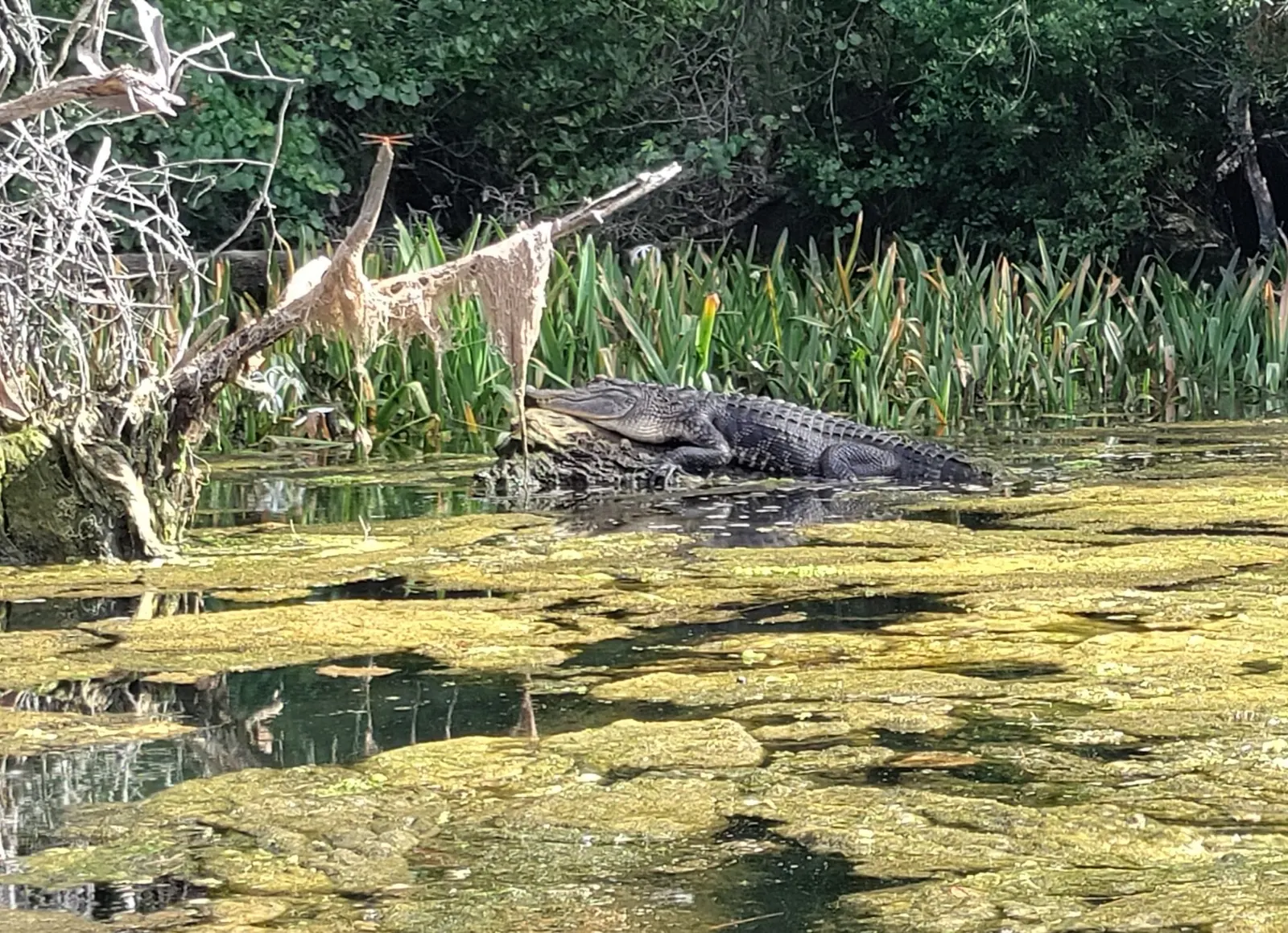
Five reviewed photos illustrate the associated river system's scenery and wildlife. They are not independently geolocated to a named spring or water entry and do not demonstrate current access or conditions. The retained map point is a recreation-area reference, not a swimming-entry pin.
Use the campground access at 8600 W Miss Maggie Drive, Chassahowitzka, and obtain current route guidance from staff before launching. Choose a named spring and plan the return. The retained point is a recreation-area reference, not a verified water entry. Archived spring depths and routes are historical, not current navigation guarantees.
The water district identifies Seven Sisters upstream of the main spring and Baird Spring, also called the Crack, among the river's separate spring runs. These names do not establish current swimming permission. The historic Houseboat/Blue Spring descriptions have not been reverified as visitor routes.
Confirm the entrance, parking arrangements, and legal access with the land manager. A map pin does not establish a public right of access. Follow posted routes and never block gates or driveways.
Confirm the intended spring's current permitted activities and restrictions before entering water. Campground access does not authorize every spring or bank. Do not enter underwater passages, jump or dive, or approach wildlife. Public park access does not necessarily include permission to swim. Respect private property and posted restrictions.
Water conditions can change quickly. This listing does not provide a current safety or water-quality assessment. Check official alerts and avoid entering water when conditions or permission are uncertain.
Nearby places from saved public map data, not necessarily facilities at the swimming spot. Confirm access, hours, fees, and amenities with the operator before you drive.
Map data retrieved 2026-06-15
Visitor center
915 N Suncoast Blvd, Crystal River, FL 34429
Wildlife refuge
1502 SE Kings Bay Dr, Crystal River, FL 34429
An undeveloped winter haven for endangered manatees, with a picnic area, bay views & a gift shop.
Non-profit organization
1502 SE Kings Bay Dr, Crystal River, FL 34429
Public bathroom
Crystal River, FL 34429
Parking lot
148 NE 5th St, Crystal River, FL 34429
Public bathroom
559 N Citrus Ave, Crystal River, FL 34428
Hiking area
W Fort Island Trail, Crystal River, FL 34429
Campground
2680 N Turkey Oak Dr, Crystal River, FL 34428
The district identifies Chassahowitzka River Campground at 8600 W Miss Maggie Drive. Call 352-382-2200 to confirm current launch, rental and route arrangements.
Operator pages checked October 9, 2026 list $5 per vehicle or $7 with a trailer. Launching is listed as free, but parking and rentals are separate. Reconfirm before travel.
No. This review establishes the spring-system geography and launch information, not current swimming authorization at every historical destination. Confirm the intended spring's restrictions.
No. Campground reservations and refuge rules are separate. The refuge prohibits camping; use an expressly authorized booked campsite.
No. The photos provide river-system context, not independently verified entry locations or current conditions.
This is a network of springs and tidal river reaches, not one uniform swimming pool. The district describes changing salinity and recreational pressure on vegetation.
Five reviewed river-system context views show wooded water, a paddling perspective, a wading bird, limestone-edged water and an alligator. Exact springs and water-entry locations are not independently geolocated.
Avoid disturbing banks and aquatic vegetation. Refuge rules prohibit feeding or disturbing wildlife. Do not approach manatees or alligators for a closer photograph.
Browse every listed natural swimming spot in Florida.
Compare nearby options around Ocala before you choose a route.
Find similar river destinations across the directory.
See under-the-radar places and local favorites in the same state.
Compare easier-access destinations and safer planning options.
Use this safety guide before entering any natural water.
Safety & Access Notice
This information is for general planning only and may be incomplete, outdated, or inaccurate. Access rules, closures, water levels, currents, hazards, and legal restrictions can change at any time. Always verify current rules with the land manager or official source before visiting.
You are responsible for your own safety and for following all posted signs, laws, and local regulations. Read the full disclaimer.
Book campground RV or primitive tent sites separately. Refuge rules prohibit camping within the national wildlife refuge; campground permission does not extend into refuge lands.
Loading weather data…
Safety & Access Notice
This information is for general planning only and may be incomplete, outdated, or inaccurate. Access rules, closures, water levels, currents, hazards, and legal restrictions can change at any time. Always verify current rules with the land manager or official source before visiting.
You are responsible for your own safety and for following all posted signs, laws, and local regulations. Read the full disclaimer.
Joshua Havens created Hidden Swimming Holes to make it easier for people to find — and safely visit — natural freshwater swimming destinations across the United States. He researches access conditions, water quality resources, and land management rules so you don't have to start from scratch. He holds a strong belief that good outdoor recreation information should be accurate, honest about its limitations, and freely available.
Discover other amazing natural swimming destinations across America