Forbes State Forest, Blue Hole
State park
4.8 (27)
Rockwood, PA 15557

Background: generated illustration, not a photograph of this location.
Locate Blue Hole Creek in Forbes State Forest, understand the 2026 metals findings, check current access and water guidance, and learn the camping restriction.
Status summarizes our reviewed record, not today's opening or safety. Check current rules, swimming boundaries and notices before visiting.
Location
A closer look
Photos show past visits, not current water levels or swimming conditions. Select a photo to view it larger.
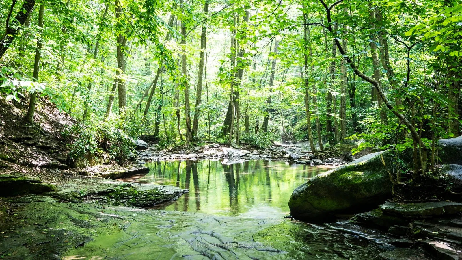
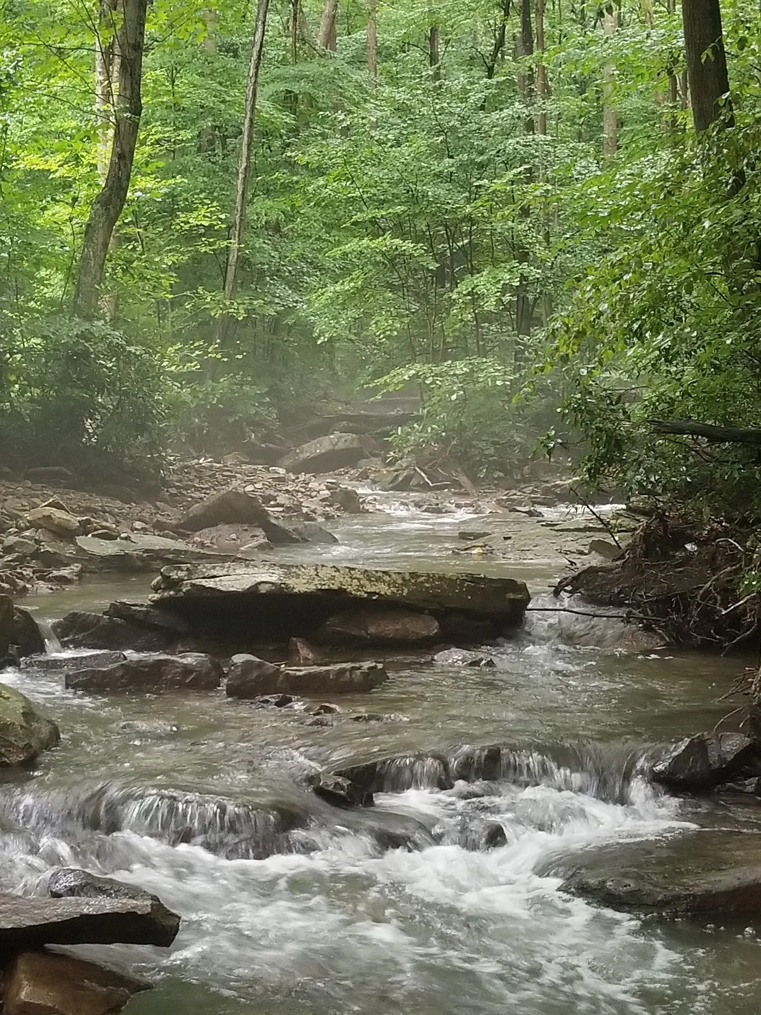
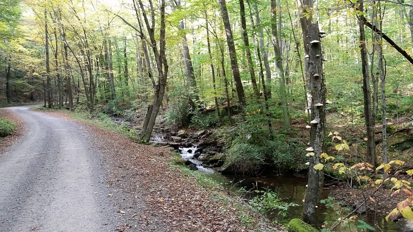
This is a desk-researched listing. A record update or map check does not confirm current swimming permission or water conditions.
Found an error? Send a correction with the location and a source. How we research listings.
Blue Hole is a named feature in the Blue Hole Division of Forbes State Forest, in Middlecreek Township, Somerset County. DCNR's brochure locates the pool on Blue Hole Creek near the mouth of Gary Run. The earlier Laurel Creek label and Somerset town map point have been corrected. The replacement point is a historical feature location, not a verified parking or water-entry pin.
Pennsylvania Fish and Boat Commission January 2026 minutes report elevated cadmium and lead in part of Blue Hole Creek and removal of Section 02 from a trout-stocking program. These are stream-level findings, not proof that this exact pool was sampled or an announced blanket swimming closure. No current recreational-water clearance was established. Ask DCNR and DEP for location-specific guidance before water contact; water color and older photos cannot answer that question.
The Western Pennsylvania Conservancy documented swimming here in 2010. That helps establish the feature's identity and history, but does not establish today's authorization, depth, current or supervision. This directory is not currently recommending a swim here. There is no verified safe jumping location, measured water temperature or evidence that limestone filtering makes the water safe.
The DCNR maps page links the Blue Hole Division/Barron Tract brochure, revised January 2016. It identifies Blue Hole Road, Fall Run Road, trails and nearby private land. Confirm current road access and lawful parking with the Forbes district office at 724-238-1200. Do not treat old informal pull-offs, exact turn distances or an approximate feature point as a current entrance. No measured approach or accessible water-entry route has been verified.
The current DCNR camping page lists Blue Hole along Blue Hole Road among areas closed to backpack camping. Roadside motorized camping elsewhere in the forest requires a designated campsite, reservation and permit. A roadside parking space is not overnight permission.
Current toilets, changing facilities, drinking water, lifeguards and site-specific fees have not been established. Plan supplies accordingly and use only permitted forest routes. Historical gallery images show creek and road scenery. They do not establish water quality, a safe bank path or conditions on your travel date.
Locate the Blue Hole Division of Forbes State Forest using DCNR's published map. It labels Blue Hole Road, Fall Run Road and Blue Hole on Blue Hole Creek near Gary Run. Confirm current road access and legal parking with the district office at 724-238-1200. Archived turn distances and informal pull-offs are historical, not a verified current route. The map point represents a historical creek feature, not a parking or safe-entry pin.
The brochure identifies the feature near the mouth of Gary Run in Middlecreek Township. It also marks private land nearby. Use signed permitted access and do not create bank routes. Current approach distance, parking capacity and accessible water-entry route were not established.
Confirm the entrance, parking arrangements, and legal access with the land manager. A map pin does not establish a public right of access. Follow posted routes and never block gates or driveways.
Current swimming permission has not been independently confirmed for this listing. Check official rules, fees, hours, and closures before visiting. Public park access does not necessarily include permission to swim. Respect private property and posted restrictions.
Water conditions can change quickly. This listing does not provide a current safety or water-quality assessment. Check official alerts and avoid entering water when conditions or permission are uncertain.
Nearby places from saved public map data, not necessarily facilities at the swimming spot. Confirm access, hours, fees, and amenities with the operator before you drive.
Map data retrieved 2026-06-15
State park
Rockwood, PA 15557
Free parking lot
Cole Run Rd, Rockwood, PA 15557
Historical landmark
Rockwood, PA 15557
Park
1454 Laurel Hill Park Rd, Somerset, PA 15501
This 4,072-acre park offers seasonal & year-round activities including swimming, hiking & camping.
Hiking area
2Q44+34, Somerset, PA 15501
Campground
273 Trent Rd, Somerset, PA 15501
Campground
1252 Coleman Station Rd, Friedens, PA 15541
Campground
Somerset, PA 15501
DCNR identifies Blue Hole on Blue Hole Creek near the mouth of Gary Run, in the Blue Hole Division of Forbes State Forest. The old Laurel Creek label was corrected.
No. It is a historical WPC feature location that agrees with the saved Google collection. Current parking, the approach and a water-entry point have not been verified.
PFBC January 2026 minutes report high cadmium and lead in part of Blue Hole Creek and removal of Section 02 from a trout-stocking program. This does not identify an exact pool bathing sample or announce a blanket swimming closure.
Not by this directory until current permission and location-specific water guidance are established. Historical swimming use and clear-looking water are not current recreational-water clearance.
DCNR lists Blue Hole along Blue Hole Road as closed to backpack camping. Roadside camping elsewhere in Forbes requires a designated site, reservation and permit.
Contact the Forbes State Forest district office at 724-238-1200. Ask specifically about Blue Hole Road, the pool near Gary Run, lawful parking and current restrictions.
DCNR names the forest division after Blue Hole Creek and identifies the pool near Gary Run. WPC documented local swimming history in 2010; history does not establish current permission or conditions.
Historical creek and forest-road scenery may illustrate the setting, not current water quality, depth or a verified entry route. Photograph from permitted routes and respect visitor privacy.
Stay on permitted routes, respect private boundaries and carry out waste. Do not collect or disturb streambank plants, fungi or wildlife; check current pet rules.
Browse every listed natural swimming spot in Pennsylvania.
Find similar creek destinations across the directory.
See under-the-radar places and local favorites in the same state.
Compare easier-access destinations and safer planning options.
Use this safety guide before entering any natural water.
Safety & Access Notice
This information is for general planning only and may be incomplete, outdated, or inaccurate. Access rules, closures, water levels, currents, hazards, and legal restrictions can change at any time. Always verify current rules with the land manager or official source before visiting.
You are responsible for your own safety and for following all posted signs, laws, and local regulations. Read the full disclaimer.
DCNR lists Blue Hole along Blue Hole Road as closed to backpack camping. Motorized roadside camping elsewhere in Forbes requires a designated site, reservation and permit; an informal pull-off is not a campsite.
Loading weather data…
Safety & Access Notice
This information is for general planning only and may be incomplete, outdated, or inaccurate. Access rules, closures, water levels, currents, hazards, and legal restrictions can change at any time. Always verify current rules with the land manager or official source before visiting.
You are responsible for your own safety and for following all posted signs, laws, and local regulations. Read the full disclaimer.
Joshua Havens created Hidden Swimming Holes to make it easier for people to find — and safely visit — natural freshwater swimming destinations across the United States. He researches access conditions, water quality resources, and land management rules so you don't have to start from scratch. He holds a strong belief that good outdoor recreation information should be accurate, honest about its limitations, and freely available.
Discover other amazing natural swimming destinations across America