Windsor State Forest
State park
2.3 mi
4.8 (28)
River Rd, Windsor, MA 01270

Background: generated illustration, not a photograph of this location.
Understand Windsor Jambs swimming restrictions, historical beach claims, parking and access planning, with reviewed forest photos and practical visitor FAQs.
Swimming permission unconfirmed
No swimming or climbing at Windsor Jambs under indexed DCR guidance. This restriction is specific to the Jambs; it does not establish a forest-wide ban or permission elsewhere. Ask DCR to identify any currently permitted swimming location before planning a swim.
Status summarizes our reviewed record, not today's opening or safety. Check current rules, swimming boundaries and notices before visiting.
Location
A closer look
Photos show past visits, not current water levels or swimming conditions. Select a photo to view it larger.
This is a desk-researched listing. A record update or map check does not confirm current swimming permission or water conditions.
Found an error? Send a correction with the location and a source. How we research listings.
The indexed DCR forest page prohibits swimming and climbing at Windsor Jambs. Keep that rule separate from other water locations: this review has not established current swimming permission at the old roadside river approach or historical beach. For a swimming trip, ask staff to identify a currently permitted location first.
A DCR camping-area map dated 2008 labels a beach, campsites and visitor facilities. Those labels explain the older directory description but do not establish present-day operation. The former lake-fee and guaranteed-camping claims have been removed pending current confirmation.
Check DCR directions rather than navigating to the retained historical river pin. Ask which designated parking area serves your chosen trail and whether the services you need are operating. General accessibility information does not verify every trail or water approach.
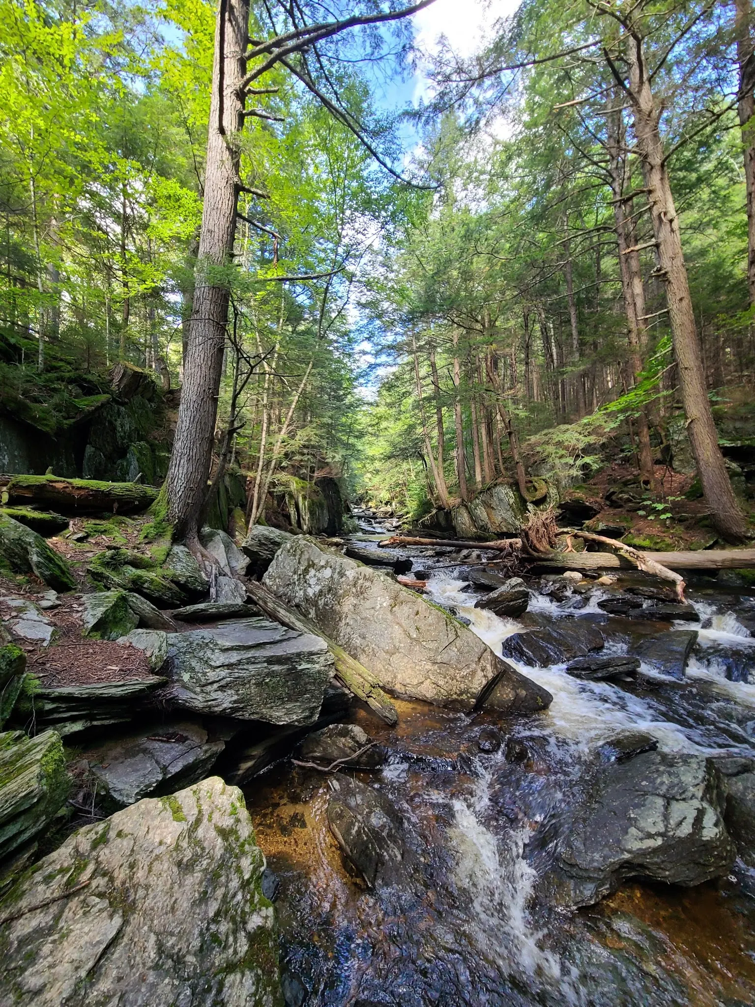
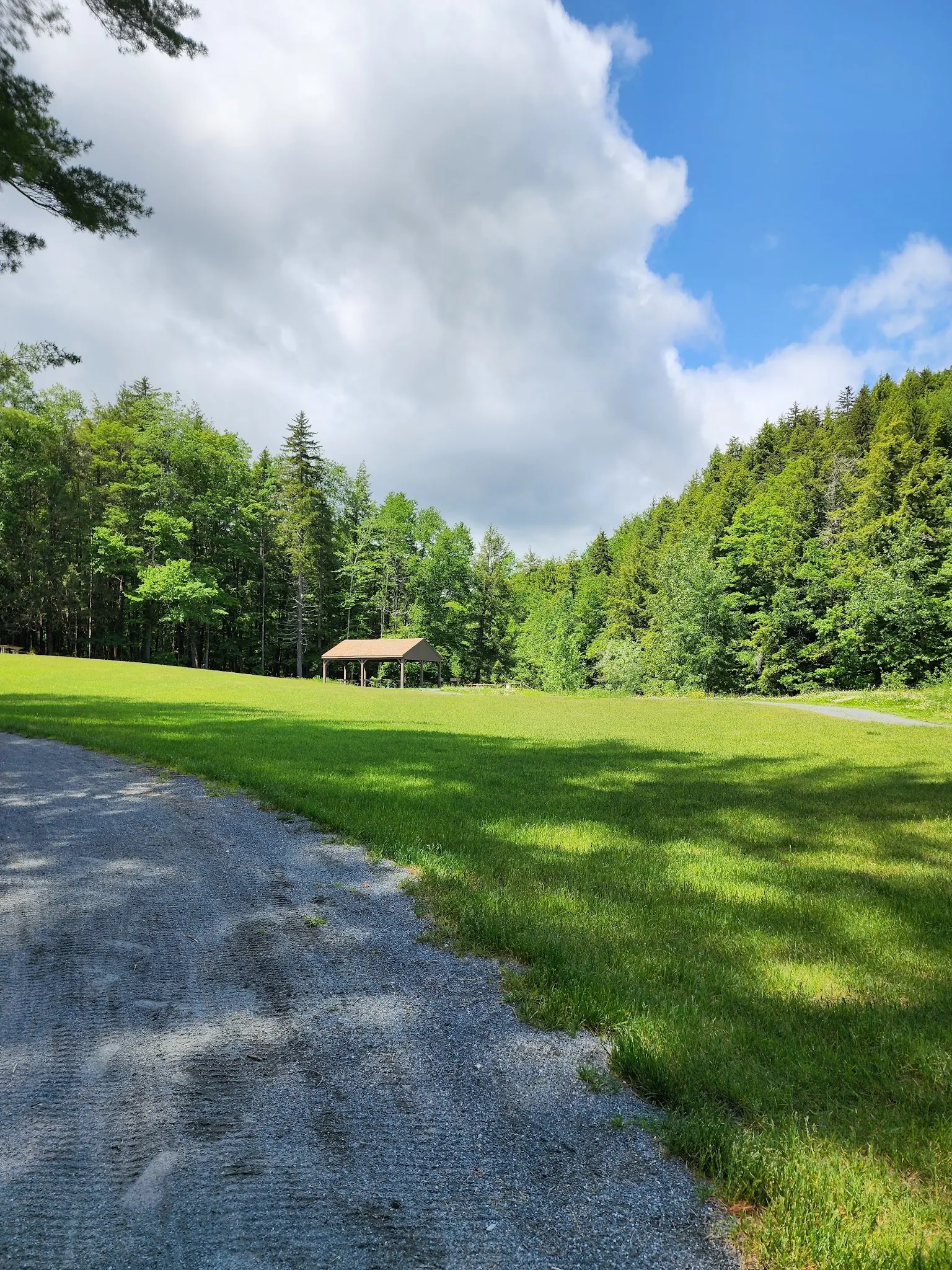
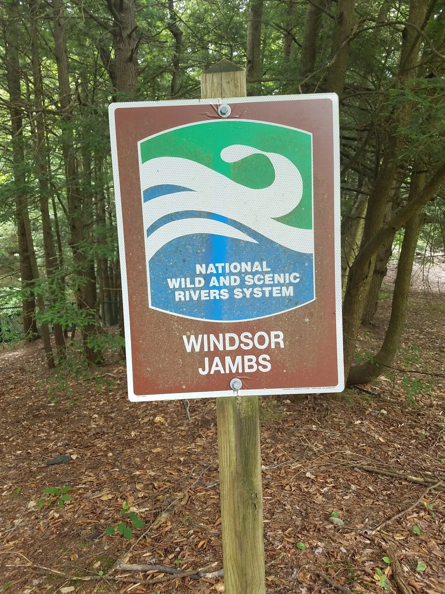
The selected stream, grass-area and location-sign images are historical views associated with the named forest. They are not water-quality tests, beach-opening reports or permission to enter the stream. Respect posted boundaries and do not reproduce a camera position that requires leaving permitted routes.
Use DCR's River Road, Windsor address and current forest directions. The retained historical point describes a different roadside Westfield River approach, not a verified forest entrance or Jambs trailhead. Do not rely on the former 0.2-mile pullout instructions for legal parking or water entry. Ask DCR for the appropriate designated arrival point.
Treat this as a forest and scenic-visit listing until a specific permitted swim is confirmed. Historical beach labels and public photographs do not prove current permission, services or water quality.
Confirm the entrance, parking arrangements, and legal access with the land manager. A map pin does not establish a public right of access. Follow posted routes and never block gates or driveways.
No swimming or climbing at Windsor Jambs under indexed DCR guidance. This restriction is specific to the Jambs; it does not establish a forest-wide ban or permission elsewhere. Ask DCR to identify any currently permitted swimming location before planning a swim. Public park access does not necessarily include permission to swim. Respect private property and posted restrictions.
Water conditions can change quickly. This listing does not provide a current safety or water-quality assessment. Check official alerts and avoid entering water when conditions or permission are uncertain.
Nearby places from saved public map data, not necessarily facilities at the swimming spot. Confirm access, hours, fees, and amenities with the operator before you drive.
Map data retrieved 2026-06-15
State park
River Rd, Windsor, MA 01270
Campground
12 Harlow Rd, Cummington, MA 01026
Campground
14 Harlow Rd, Cummington, MA 01026
Parking lot
Cummington, MA 01026
Campground
350 Longview Ave, Hinsdale, MA 01235
Visitor center
2 Avenue A, Turners Falls, MA 01376
Public bathroom
Westfield, MA 01085
No. Indexed DCR guidance prohibits swimming and climbing at Windsor Jambs.
That has not been verified. The official camping-area map dated 2008 labels a beach, but historical labels are not evidence of current operation. Contact DCR before planning a swim.
No. Parking permission is separate from water-entry permission. Confirm a specific permitted swimming location with DCR.
Current campsite operation and booking have not been established by this review. Do not plan an overnight stay based on the historical map.
No. It is a retained historical river-location reference, not a verified entrance to the forest or Jambs. Use current official directions and staff guidance.
The older beach and camping references come from historical visitor information. A map dated 2008 cannot confirm that those services operate today.
Three historical photos show a rocky woodland stream, an open grass area with a shelter and a Windsor Jambs location sign. They illustrate the forest setting, not current swimming permission or conditions.
Follow posted restrictions, keep dogs leashed and carry out litter. Indexed DCR guidance prohibits alcohol. Do not climb the Jambs or leave trails to recreate photographed viewpoints.
Browse every listed natural swimming spot in Massachusetts.
See under-the-radar places and local favorites in the same state.
Compare easier-access destinations and safer planning options.
Use this safety guide before entering any natural water.
Safety & Access Notice
This information is for general planning only and may be incomplete, outdated, or inaccurate. Access rules, closures, water levels, currents, hazards, and legal restrictions can change at any time. Always verify current rules with the land manager or official source before visiting.
You are responsible for your own safety and for following all posted signs, laws, and local regulations. Read the full disclaimer.
A DCR camping-area map dated 2008 labels campsites and a beach. It is historical evidence only; current campsite operation and reservations have not been verified. Do not assume overnight stays are available.
Loading weather data…
Safety & Access Notice
This information is for general planning only and may be incomplete, outdated, or inaccurate. Access rules, closures, water levels, currents, hazards, and legal restrictions can change at any time. Always verify current rules with the land manager or official source before visiting.
You are responsible for your own safety and for following all posted signs, laws, and local regulations. Read the full disclaimer.
Joshua Havens created Hidden Swimming Holes to make it easier for people to find — and safely visit — natural freshwater swimming destinations across the United States. He researches access conditions, water quality resources, and land management rules so you don't have to start from scratch. He holds a strong belief that good outdoor recreation information should be accurate, honest about its limitations, and freely available.
Discover other amazing natural swimming destinations across America