Cascade Falls Trail
Hiking area
8.2 mi
4.7 (169)
Cascade Rd, Saco, ME 04072

Background: generated illustration, not a photograph of this location.
Plan a Salmon Falls-area visit with reviewed Saco River scenery, a named Buxton park option and bridge-project information. Old informal water-access directions remain unverified.
Swimming permission unconfirmed
Historical bridge-side access remains unverified. Town separately lists swimming at Pleasant Point Park on Simpson Road, without lifeguards. Its permission does not authorize entry at every Salmon Falls bank or work area; ask Recreation about the intended entrance and current conditions.
Official sources checked:
Location
A closer look
Photos show past visits, not current water levels or swimming conditions. Select a photo to view it larger.
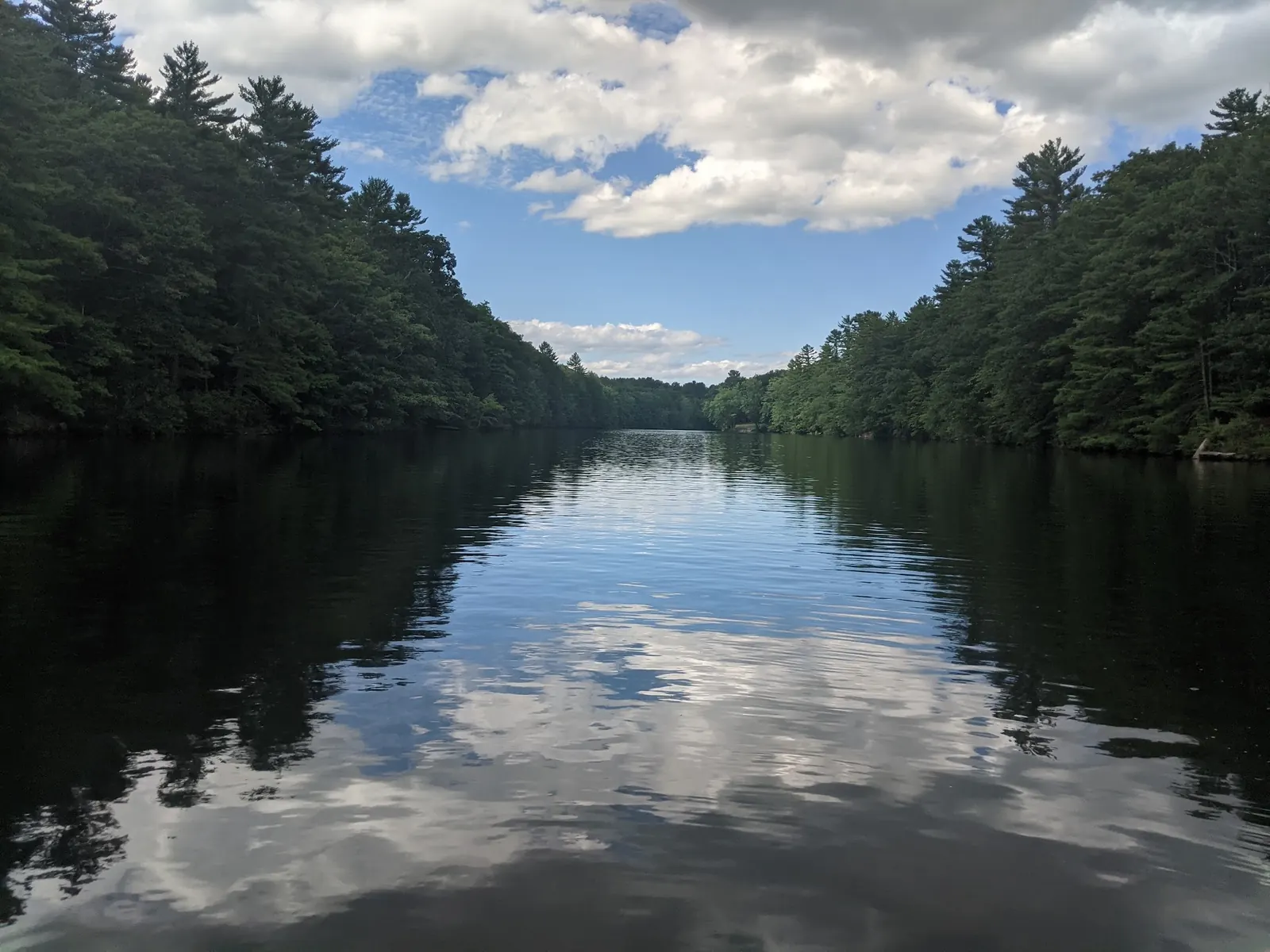
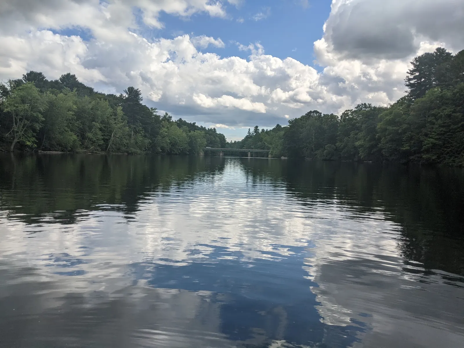
This is a desk-researched listing. A record update or map check does not confirm current swimming permission or water conditions.
Found an error? Send a correction with the location and a source. How we research listings.
The Recreation Department's facility page gives a managed park option in the Salmon Falls area. It is a separate destination from the old bridge-side approach retained in this listing's history.
Before setting off, confirm the park entrance and your intended activity. The town parks page provides rules and visitor context, but those details should not be transferred to an unverified pull-out or neighboring bank.
The MaineDOT project record makes a current traffic check worthwhile. Do not infer a detour from an old photograph or assume that a bridge visible in the gallery is unchanged. Stay outside construction boundaries and follow posted traffic instructions.
Plan a permitted walking or picnic visit if water conditions or access notices make swimming unsuitable. Bring drinking water and supplies that can be carried out, and choose a clear return route before any authorized water activity.
For a managed option, ask Buxton Recreation about Pleasant Point Park on Simpson Road and its current entrance. Do not follow the old Old Alfred Road parking-and-trail claim as verified public access. Check current bridge-project traffic information before using the Route 202 corridor. The retained point and gallery are not verified park-arrival directions.
Reviewed October 8, 2026: MaineDOT's Salmon Falls bridge replacement contract was awarded June 9, 2026. This proves a project, not today's lane closures or detour. Town pages give both general dawn-to-dusk wording and specific park hours; confirm current signs and leave before closing.
Confirm the entrance, parking arrangements, and legal access with the land manager. A map pin does not establish a public right of access. Follow posted routes and never block gates or driveways.
Historical bridge-side access remains unverified. Town separately lists swimming at Pleasant Point Park on Simpson Road, without lifeguards. Its permission does not authorize entry at every Salmon Falls bank or work area; ask Recreation about the intended entrance and current conditions. Public park access does not necessarily include permission to swim. Respect private property and posted restrictions.
Water conditions can change quickly. This listing does not provide a current safety or water-quality assessment. Check official alerts and avoid entering water when conditions or permission are uncertain.
Nearby places from saved public map data, not necessarily facilities at the swimming spot. Confirm access, hours, fees, and amenities with the operator before you drive.
Map data retrieved 2026-06-15
Hiking area
Cascade Rd, Saco, ME 04072
Campground
27 Go Camping Way, Old Orchard Beach, ME 04064
Family-run camping spot with tent & RV sites, plus a pool, a playground & beach access via trolley.
Campground
8 Cascade Rd, Old Orchard Beach, ME 04064
Campground
50 Adelaide Rd, Old Orchard Beach, ME 04064
Snug, resort-style campground with pitches & rentals, plus pools, jacuzzis, a store & beach access.
Parking lot
76-98 Milliken St, Old Orchard Beach, ME 04064
Public bathroom
6 Heath St, Old Orchard Beach, ME 04064
Parking lot
Milliken St, Old Orchard Beach, ME 04064
Parking lot
15717 Ocean Ave, Old Orchard Beach, ME 04064
No blanket permission was established. Confirm the specific entrance and activity with Buxton Recreation.
No. They show river-level scenery, not verified arrival directions.
No. Check current traffic notices; a project award is not a live closure report.
No. The documented services belong to the named town park.
The Saco River has historical ties to Native American tribes who utilized it as a source of sustenance and trade. The area reflects Maine’s rich natural and cultural heritage.
Two reviewed river-level photos show wooded banks and a distant bridge. They do not identify Pleasant Point Park's entrance or document today's bridge works.
Use designated parking and authorized routes, respect neighboring property and carry out rubbish.
Browse every listed natural swimming spot in Maine.
Compare nearby options around Portland before you choose a route.
Find similar river destinations across the directory.
See under-the-radar places and local favorites in the same state.
Compare easier-access destinations and safer planning options.
Explore waterfall-focused swimming destinations in Maine.
Safety & Access Notice
This information is for general planning only and may be incomplete, outdated, or inaccurate. Access rules, closures, water levels, currents, hazards, and legal restrictions can change at any time. Always verify current rules with the land manager or official source before visiting.
You are responsible for your own safety and for following all posted signs, laws, and local regulations. Read the full disclaimer.
No overnight permission verified at this access point. Book authorized accommodation separately.
Loading weather data…
Safety & Access Notice
This information is for general planning only and may be incomplete, outdated, or inaccurate. Access rules, closures, water levels, currents, hazards, and legal restrictions can change at any time. Always verify current rules with the land manager or official source before visiting.
You are responsible for your own safety and for following all posted signs, laws, and local regulations. Read the full disclaimer.
Joshua Havens created Hidden Swimming Holes to make it easier for people to find — and safely visit — natural freshwater swimming destinations across the United States. He researches access conditions, water quality resources, and land management rules so you don't have to start from scratch. He holds a strong belief that good outdoor recreation information should be accurate, honest about its limitations, and freely available.
Discover other amazing natural swimming destinations across America