Mass Audubon's Ipswich River Wildlife Sanctuary
Hiking area
1.6 mi
4.9 (1173)
87 Perkins Row, Topsfield, MA 01983
Sanctuary offering trails through forest, meadows & wetlands, with wildlife views & canoeing.
Picnic tablesPublic restroom

Background: generated illustration, not a photograph of this location.
Plan an Ipswich River outing near Bradley Palmer with park parking, facilities and qualified river photos. A paddling landing does not establish swimming permission.
Swimming permission unconfirmed
DCR lists paddling and other park activities, not a designated river swim. The watershed association describes a landing, not a swimming authorization. Confirm the specific water access with DCR.
Official sources checked:
Status summarizes our reviewed record, not today's opening or safety. Check current rules, swimming boundaries and notices before visiting.
Location
A closer look
Photos show past visits, not current water levels or swimming conditions. Select a photo to view it larger.
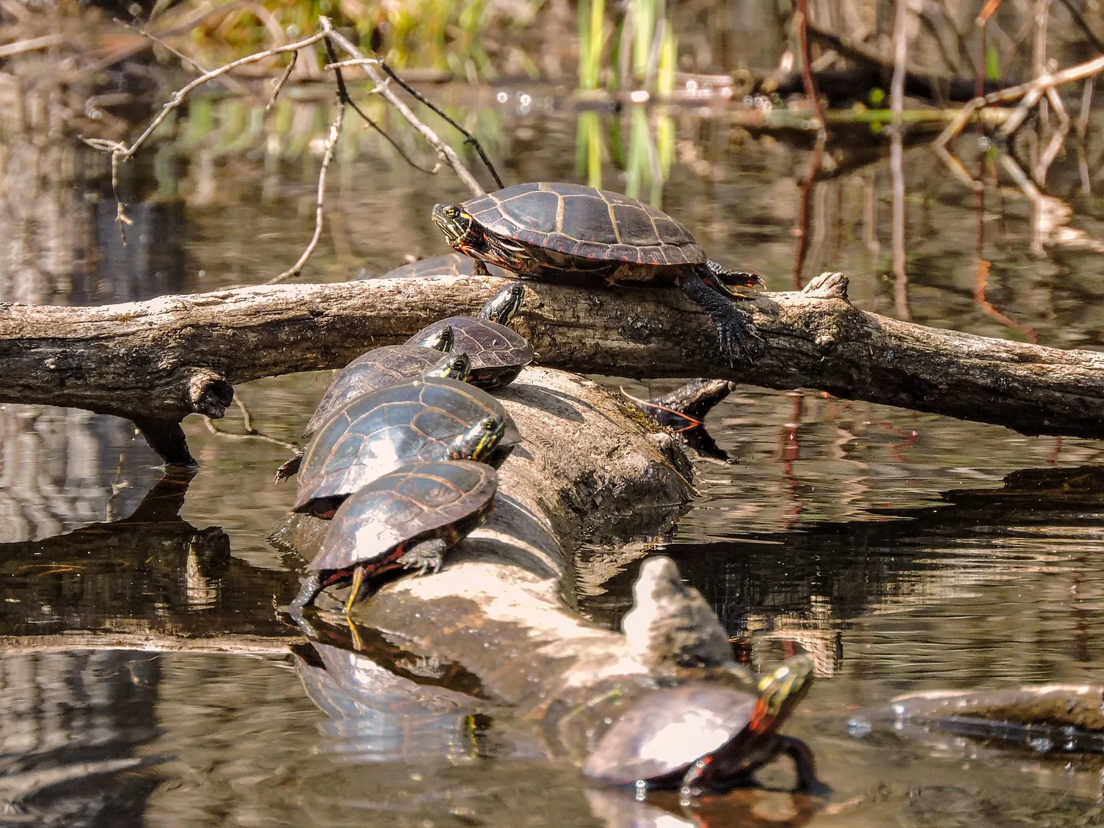
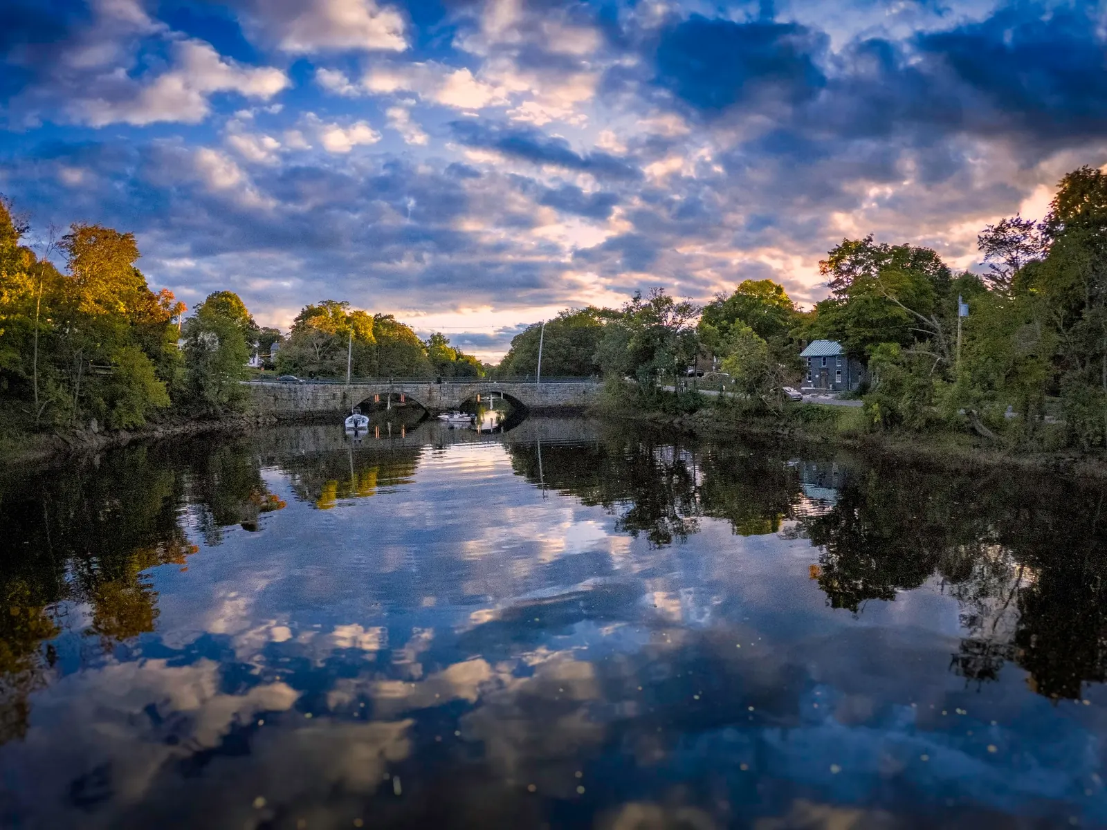
This is a desk-researched listing. A record update or map check does not confirm current swimming permission or water conditions.
Found an error? Send a correction with the location and a source. How we research listings.
The DCR park page and watershed association landing guide answer different questions. Use park information for services and ask separately about the route and permission for water recreation.
A place described for paddling is not automatically suitable or authorized for swimming. If swimming is the day's purpose, confirm a designated alternative rather than improvising a riverbank entry.
Use designated parking and allow time to return before the applicable closing time. Do not treat parked cars beside a bridge as proof that you may leave yours there.
The gallery illustrates the wider river setting. It does not pinpoint the landing or establish current depth, water quality or ownership of the pictured banks.
For Bradley Palmer park services, use DCR's address at 40 Asbury Street, Topsfield. Ask for the current landing approach if paddling. Do not use the historical river pin as directions to a swimming entrance or permission to park beside a bridge.
Reviewed October 8, 2026: DCR publishes sunrise-to-sunset park hours. The watershed page contains an undated drought message; it is not treated here as a fresh flow measurement or current closure.
Confirm the entrance, parking arrangements, and legal access with the land manager. A map pin does not establish a public right of access. Follow posted routes and never block gates or driveways.
DCR lists paddling and other park activities, not a designated river swim. The watershed association describes a landing, not a swimming authorization. Confirm the specific water access with DCR. Public park access does not necessarily include permission to swim. Respect private property and posted restrictions.
Water conditions can change quickly. This listing does not provide a current safety or water-quality assessment. Check official alerts and avoid entering water when conditions or permission are uncertain.
Nearby places from saved public map data, not necessarily facilities at the swimming spot. Confirm access, hours, fees, and amenities with the operator before you drive.
Map data retrieved 2026-06-15
Hiking area
87 Perkins Row, Topsfield, MA 01983
Sanctuary offering trails through forest, meadows & wetlands, with wildlife views & canoeing.
Campground
South Hamilton, MA 01982
Hiking area
County Rd, Ipswich, MA 01938
Nature preserve
326 High St, Ipswich, MA 01938
Parking lot
44 S Main St, Ipswich, MA 01938
State park
Parker River Wildlife, 37-39 Refuge Rd, Ipswich, MA 01938
77-acre wildlife preserve offers views of nesting terns & plovers, plus beachcombing & fishing.
Parking lot
37-39 Refuge Rd, Ipswich, MA 01938
Parking lot
39 Refuge Rd, Ipswich, MA 01938
No. Confirm permission for the exact water location; a paddling landing is not a swim-beach designation.
No. They come from a river-level match and are presented only as wider landscape context.
No. Choose an authorized route and confirm the facilities serving that entrance.
The Ipswich River was vital to early colonial settlers, serving as both a source of sustenance and a route for inland migration. Its name connects the area to its English heritage.
River-level saved collection shows wildlife and a stone bridge. These are general river context, not verified images of the Bradley Palmer landing or this historical pin.
Use authorized routes and parking, leave wildlife undisturbed and carry out rubbish.
Browse every listed natural swimming spot in Massachusetts.
Find similar river destinations across the directory.
See under-the-radar places and local favorites in the same state.
Compare easier-access destinations and safer planning options.
Use this safety guide before entering any natural water.
Safety & Access Notice
This information is for general planning only and may be incomplete, outdated, or inaccurate. Access rules, closures, water levels, currents, hazards, and legal restrictions can change at any time. Always verify current rules with the land manager or official source before visiting.
You are responsible for your own safety and for following all posted signs, laws, and local regulations. Read the full disclaimer.
No overnight permission verified at this river access. Arrange accommodation separately.
Loading weather data…
Safety & Access Notice
This information is for general planning only and may be incomplete, outdated, or inaccurate. Access rules, closures, water levels, currents, hazards, and legal restrictions can change at any time. Always verify current rules with the land manager or official source before visiting.
You are responsible for your own safety and for following all posted signs, laws, and local regulations. Read the full disclaimer.
Joshua Havens created Hidden Swimming Holes to make it easier for people to find — and safely visit — natural freshwater swimming destinations across the United States. He researches access conditions, water quality resources, and land management rules so you don't have to start from scratch. He holds a strong belief that good outdoor recreation information should be accurate, honest about its limitations, and freely available.
Discover other amazing natural swimming destinations across America