Cook Forest State Park Office
Park
4.6 (204)
100 PA-36, Cooksburg, PA 16217
State park with an old growth forest of white pine & hemlock trees, 29 miles of trails & more.
Barbecue grillBasketball courtPicnic tablesPublic restroom

Background: generated illustration, not a photograph of this location.
Plan a Cook Forest visit with Clarion River access context, canoe-launch directions, facilities, condition checks and reviewed park photos.
Location
A closer look
Photos show past visits, not current water levels or swimming conditions. Select a photo to view it larger.
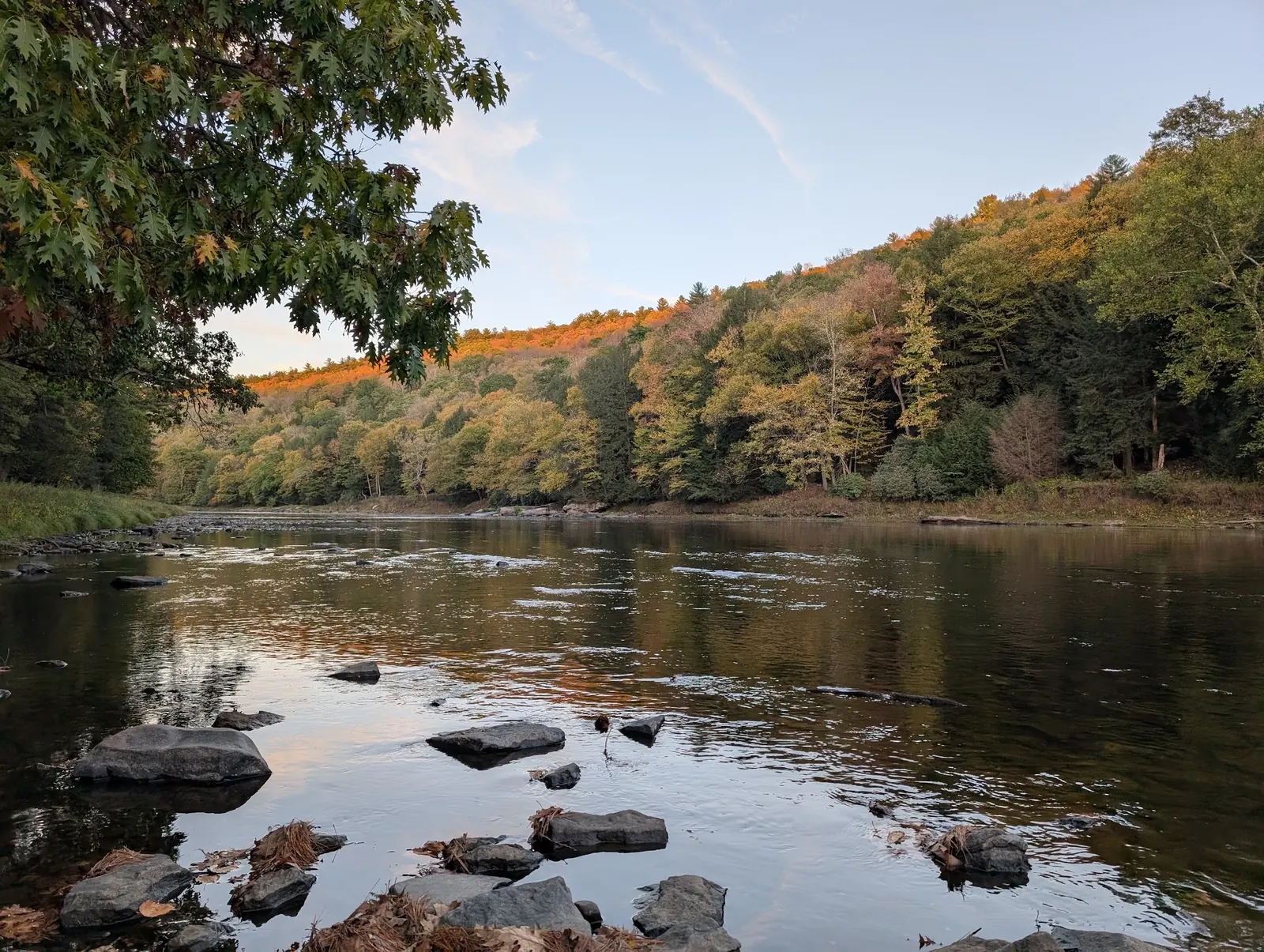
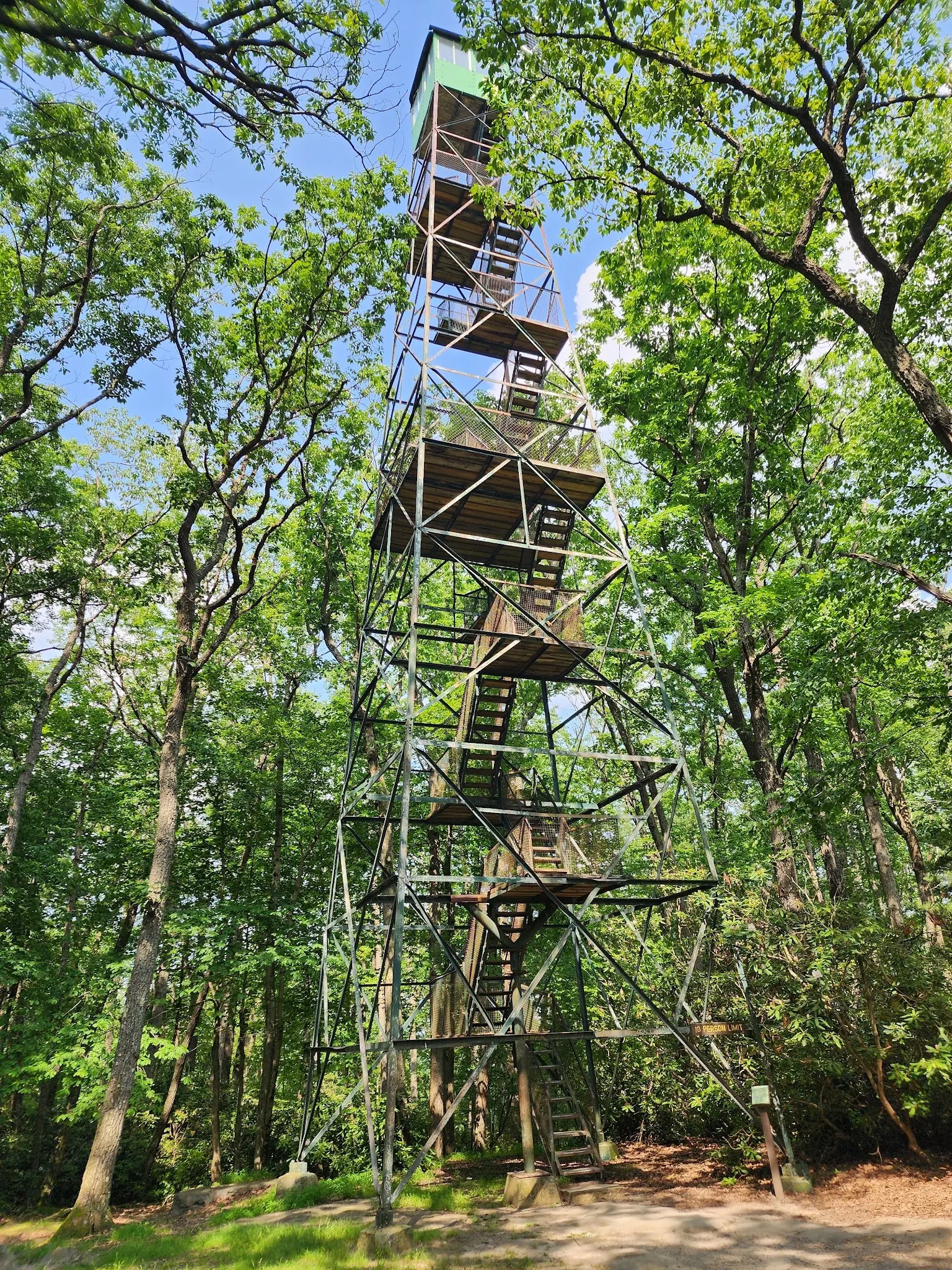
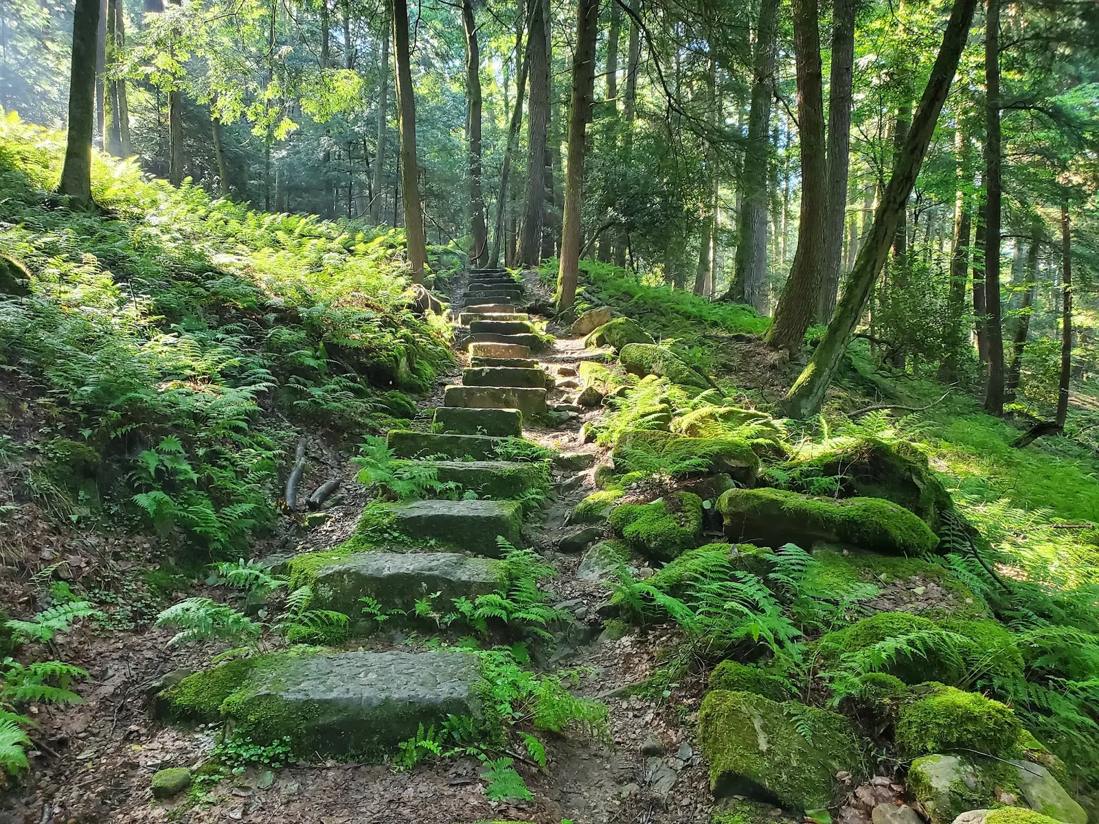
This is a desk-researched listing. A record update or map check does not confirm current swimming permission or water conditions.
Found an error? Send a correction with the location and a source. How we research listings.
Cook Forest combines old-growth forest walks with river recreation near Cooksburg, Pennsylvania. VisitPA describes swimming and floating along the Clarion River in the Cook Forest and Clear Creek area. That regional description does not identify a guarded beach or confirm that every bank is a permitted water entry.
Our map pin marks the Cook Forest Canoe Launch, a public carry-in access identified on the official Middle Clarion Water Trail map. It is not a verified swimming entry. Ask park staff where swimming is currently permitted and check posted restrictions before entering the water. Keep boat launches clear for paddlers.
Do not treat the river's Class I paddling classification as a beginner-swimming rating. Current, depth and submerged obstacles vary. The park guide says boat launches close when the USGS Cooksburg gauge reaches six feet. That is a launch-closure rule, not a safe-swimming threshold. A lower reading does not establish safe conditions. Plan a take-out before floating and use a properly fitted life jacket.
The park has picnic areas, parking, restrooms and camping facilities. Availability varies by location and season; the mapped canoe launch has a seasonal restroom. Nonpowered boats using state-park launches need the applicable registration or launch permit. Forest walks and the observation tower offer alternatives when river conditions are unsuitable. The gallery shows river, tower and forest context, not a verified swimming-entry route.
From I-80 east, use Exit 78 and follow PA-36 north toward Cooksburg. From the west, use Exit 60, follow PA-66 north to Leeper, then PA-36 south toward the park. Use the official park and water-trail maps to select an access point. The listing pin identifies a canoe launch, not a swimming beach.
The map pin is Cook Forest Canoe Launch, not a verified swimming entry. Confirm permitted water entry with park staff and obey posted restrictions. Parking and a seasonal restroom are identified at this carry-in access.
Confirm the entrance, parking arrangements, and legal access with the land manager. A map pin does not establish a public right of access. Follow posted routes and never block gates or driveways.
Current swimming permission has not been independently confirmed for this listing. Check official rules, fees, hours, and closures before visiting. Public park access does not necessarily include permission to swim. Respect private property and posted restrictions.
Water conditions can change quickly. This listing does not provide a current safety or water-quality assessment. Check official alerts and avoid entering water when conditions or permission are uncertain.
Bring sturdy water shoes to protect your feet on rocks and slippery surfaces. A waterproof dry bag keeps your phone, keys, and valuables safe. Pack a quick-dry towel, sun protection, and drinking water - never drink from the natural water source.
Nearby places from saved public map data, not necessarily facilities at the swimming spot. Confirm access, hours, fees, and amenities with the operator before you drive.
Map data retrieved 2026-06-15
Park
100 PA-36, Cooksburg, PA 16217
State park with an old growth forest of white pine & hemlock trees, 29 miles of trails & more.
Park
Leeper, PA 16233
Parking lot
Clarion, PA 16214
Hiking area
1073 E Main St, Clarion, PA 16214
Hiking area
US-322, Shippenville, PA 16254
Campground
8630 Miola Rd, Lucinda, PA 16235
Campground
634 Pine Terrace Rd, Shippenville, PA 16254
Campground
308 Timberwolf Run, Knox, PA 16232
Checking nearby USGS water conditions…
No. It identifies Cook Forest Canoe Launch, an official public carry-in access. Confirm a permitted swimming entry with park staff before entering the river.
No. The park guide's six-foot rule concerns closing boat launches. Lower readings do not establish safe swimming conditions.
Yes. The park has picnic areas, restrooms, parking and camping. The mapped canoe launch has a seasonal restroom; check availability before your visit.
Nonpowered boats using state-park launches need the applicable boat registration or launch permit. Check DCNR's current requirements before arriving.
The park's virgin timber stands are a relic of Pennsylvania's lumber boom, highlighting the region’s historical importance in conservation and resource management.
Top spots include the riverside at sunrise and sunset, the towering old-growth forests, and autumn foliage along the trails.
Cook Forest State Park is a protected area with old-growth forests requiring careful preservation. Practice Leave No Trace principles and respect wildlife habitats.
Browse every listed natural swimming spot in Pennsylvania.
Find similar river destinations across the directory.
See under-the-radar places and local favorites in the same state.
Compare easier-access destinations and safer planning options.
Use this safety guide before entering any natural water.
Safety & Access Notice
This information is for general planning only and may be incomplete, outdated, or inaccurate. Access rules, closures, water levels, currents, hazards, and legal restrictions can change at any time. Always verify current rules with the land manager or official source before visiting.
You are responsible for your own safety and for following all posted signs, laws, and local regulations. Read the full disclaimer.
At site; Cook Forest S.P.
Loading weather data…
Safety & Access Notice
This information is for general planning only and may be incomplete, outdated, or inaccurate. Access rules, closures, water levels, currents, hazards, and legal restrictions can change at any time. Always verify current rules with the land manager or official source before visiting.
You are responsible for your own safety and for following all posted signs, laws, and local regulations. Read the full disclaimer.
Joshua Havens created Hidden Swimming Holes to make it easier for people to find — and safely visit — natural freshwater swimming destinations across the United States. He researches access conditions, water quality resources, and land management rules so you don't have to start from scratch. He holds a strong belief that good outdoor recreation information should be accurate, honest about its limitations, and freely available.
Discover other amazing natural swimming destinations across America